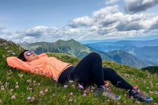
An interesting and panoramic circular hike through the meadows, forests and malghe in the southern part of the Maddalene above Pracorno di Rabbi
Image gallery: Circular hike to Malga Mondent Alta
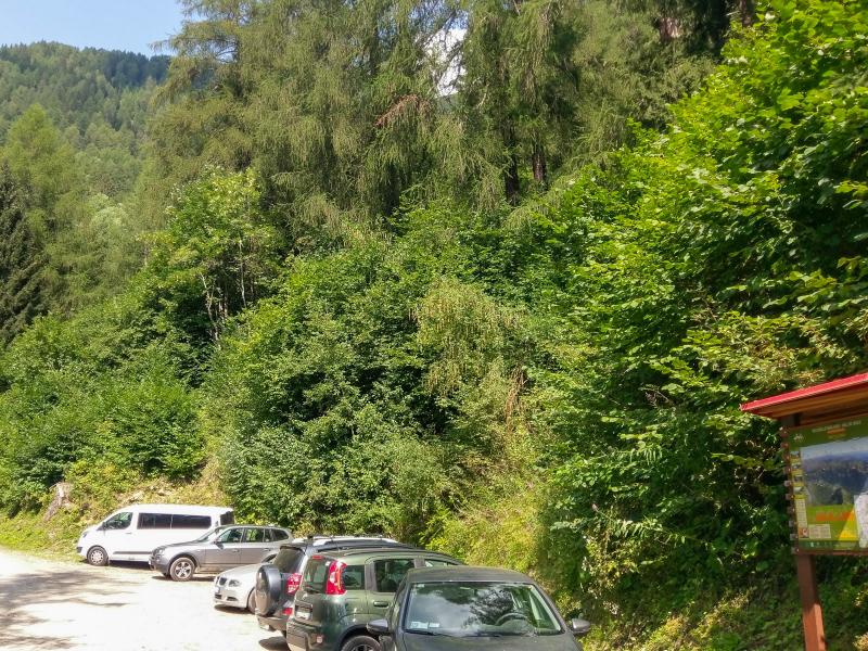
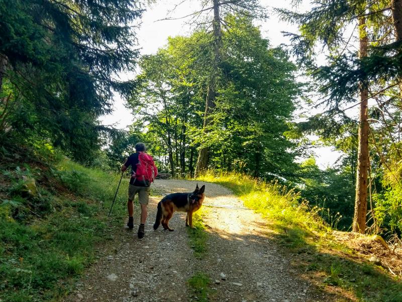
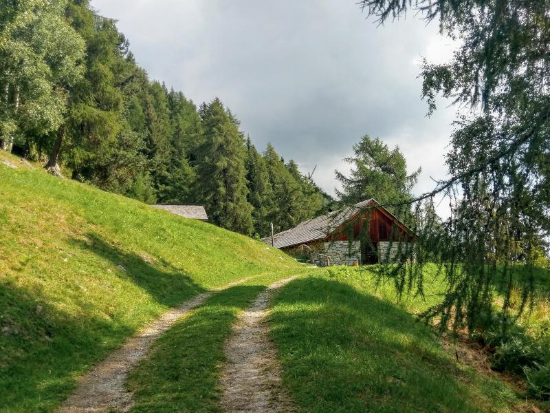
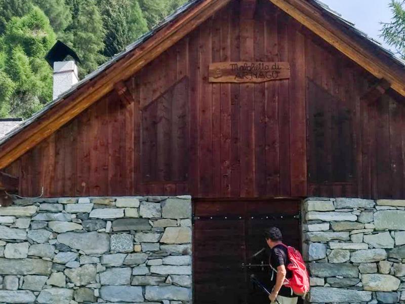
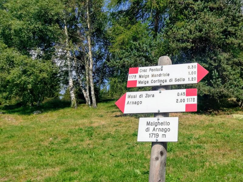
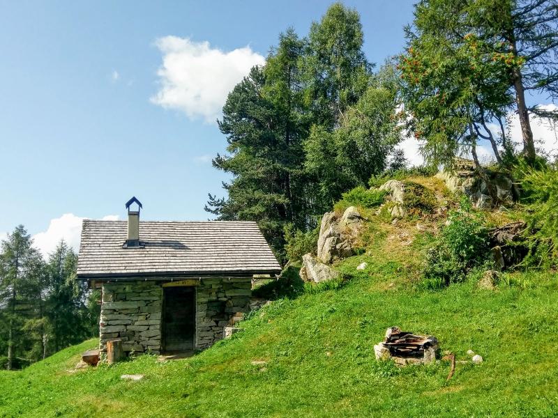
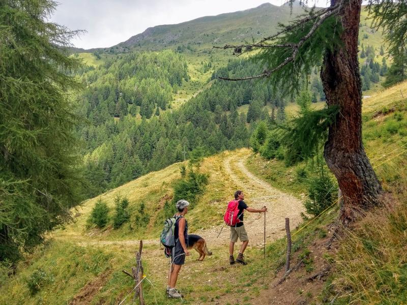
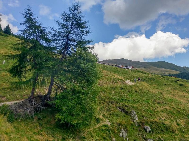
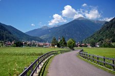
We opt for a rather little known route on the highlands of the bassa val di Rabbi towards the Val di Sole on a beautiful mid August day. The car park in Masi di Zora provides enough space for our car. From here we take the road from Pracorno to Malga Mondent Alta we head back to the crossroads with the forest path 117B. We ascend to Malghetto di Arnago - El Bait at 1,719 m a.s.l., a hut open only on special occasions.
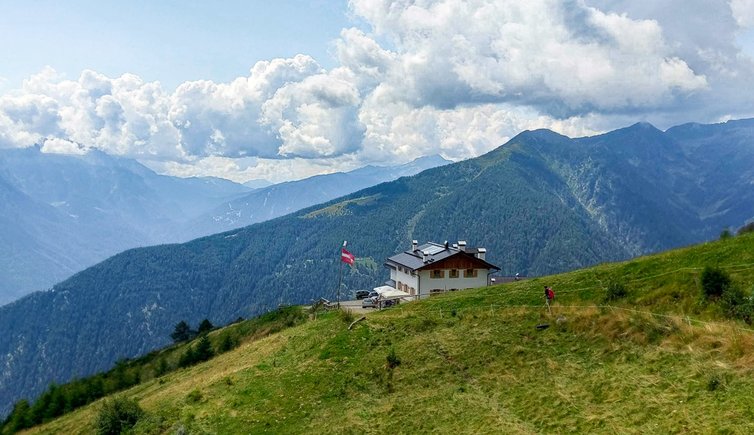
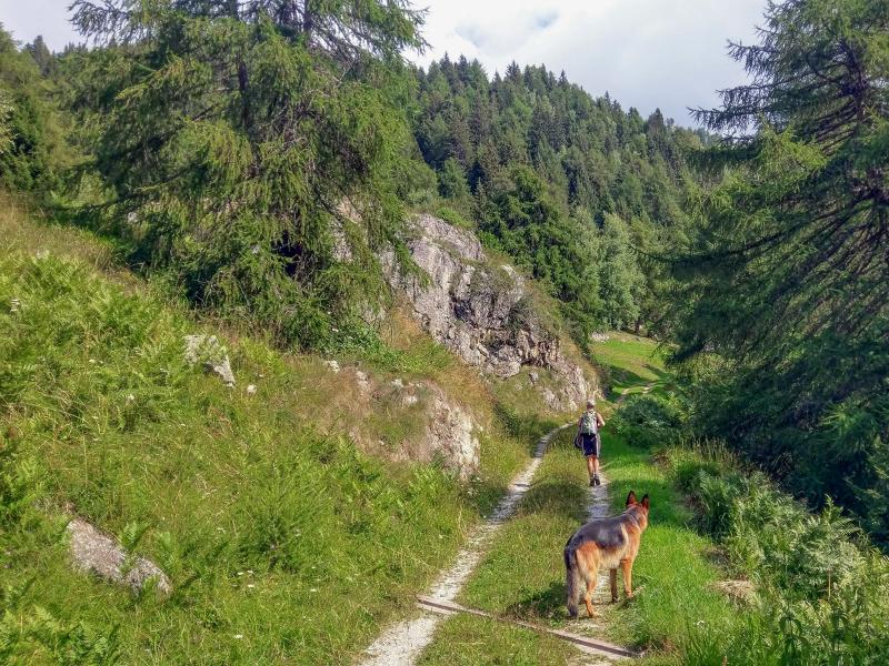
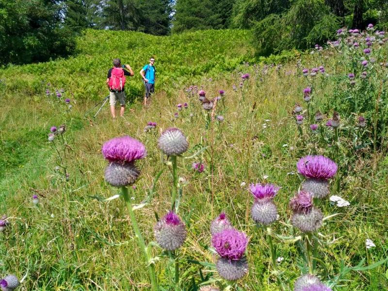
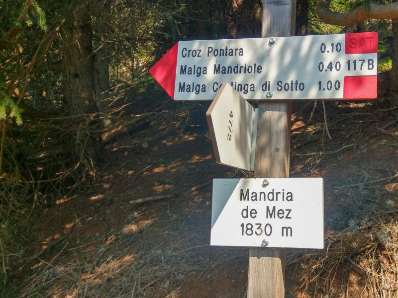
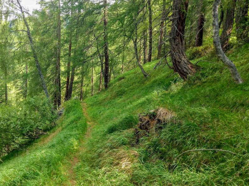
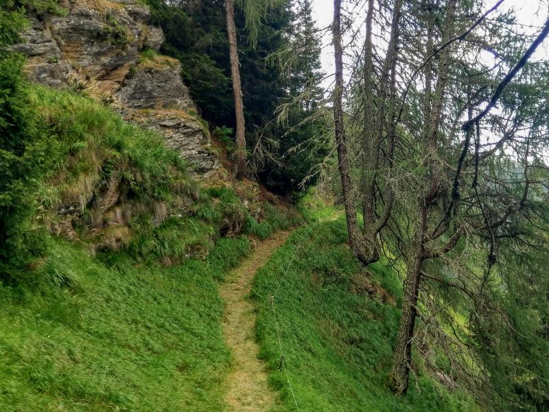
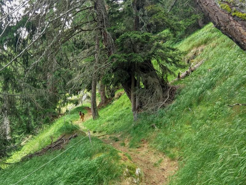
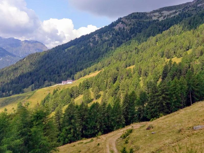
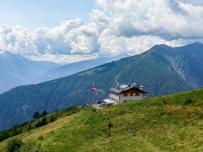
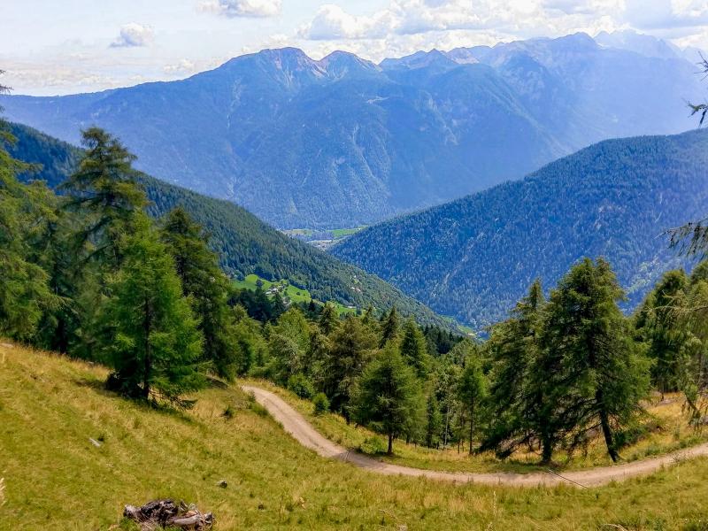
Beyond the malghetto, the road becomes a path and after a short ascent to "Mandria de Brez" it runs along a hilly section through a beautiful larch forest, towards the remains of Malga Mandriole and the unpaved path no. 117, which passes between Malga Cortinga di Sotto and Malga Cortinga di Sopra. Once at Malga Cortinga di Sopra (2,059 m a.s.l.), it only takes us 15 minutes to tackle a short descent (an unmarked but still visible path on the left) until we reach Malga Mondent Alta, the only refreshment point of this route.
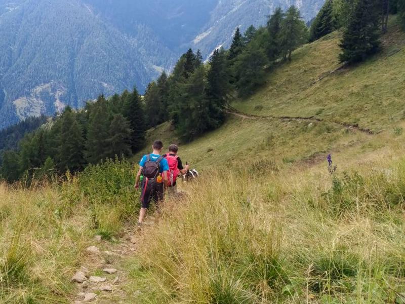
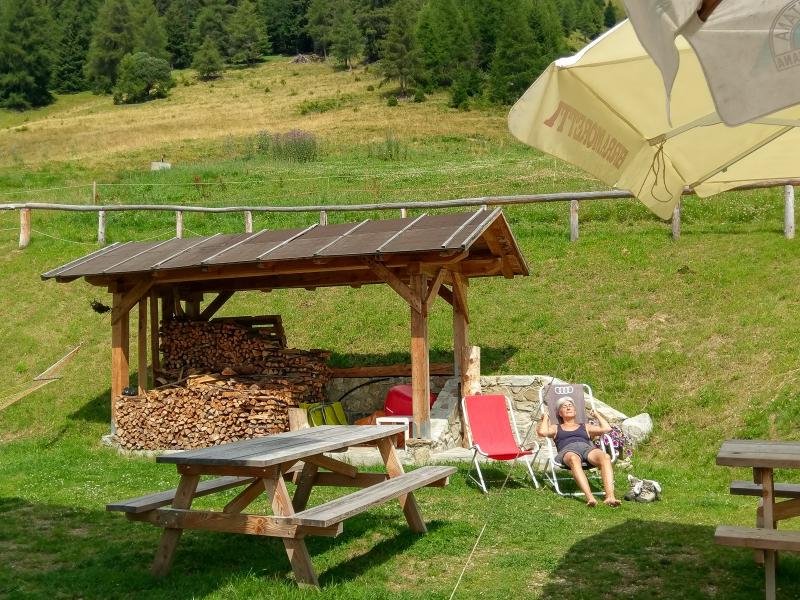
After a long and pleasant break at Malga Mondent, where we enjoyed a hearty meal and relax in the sun - a welcome reward for our efforts - we are ready for the final hour of hiking. This takes us along a downhill unpaved road to Malga Mondent Bassa and to the Masi di Zora car park.
Author: Giacomo Roccabruna
-
- Starting point:
- parking space in the hamlet of Masi di Zora, along the road between Pracorno di Rabbi and the Malga Mondent Alta
-
- Overall time:
- 04:40 h
-
- Total route length:
- 11,0 km
-
- Altitude:
- from 1.399 m to 2.059 m
-
- Altitude difference (uphill | downhill):
- +757 m | -757 m
-
- Route:
- Masi di Zora – Malghetto di Arnago (El Bait) – Malga Mandriole - – Malga Cortinga di Sotto – Malga Cortinga di Sopra – Malga Mondent Alta – Masi Bretoni – Masi di Zora
-
- Signposts:
- no. 117B, 117, descent to the Malga Mondent
-
- Destination:
- Malga Mondent Alta
-
- Resting points:
- Malga Mondent Alta
-
- Recommended time of year:
- Jan Feb Mar Apr May Jun Jul Aug Sep Oct Nov Dec
-
- Download GPX track:
- Circular hike to Malga Mondent Alta
If you want to undertake this hike, we recommend checking the weather and trail conditions in advance and on site before starting this hike!