The adventurous road to Tremalzo ascends the passes of the Monti del Garda. During this hike we explore the central and most beautiful section of this former military road
Image gallery: Hike from Passo di Tremalzo to Prà della Rosa
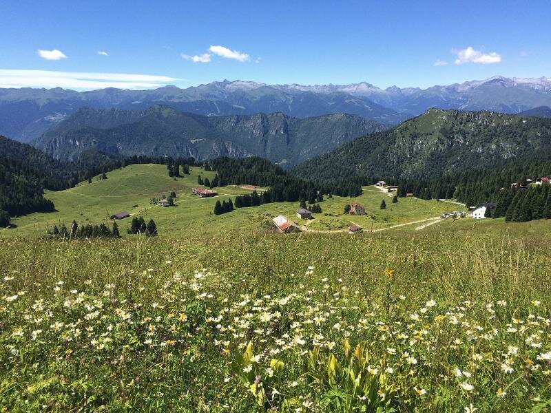
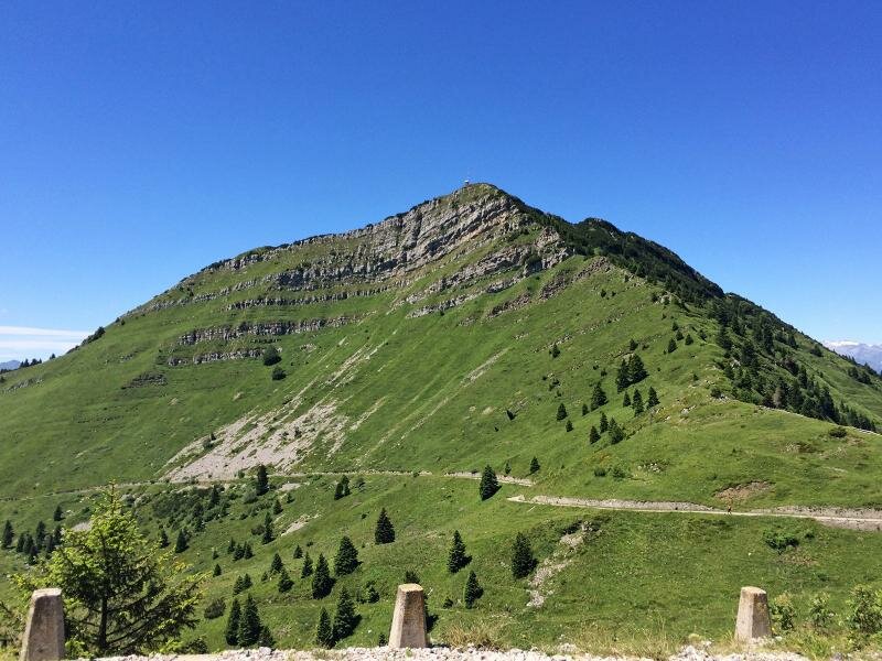
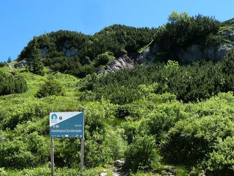
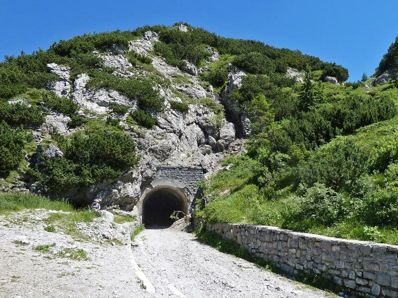
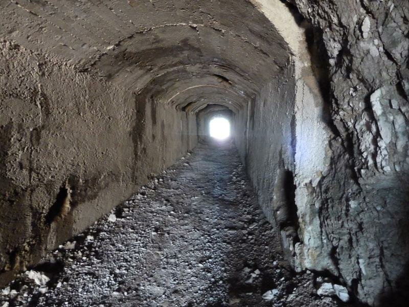
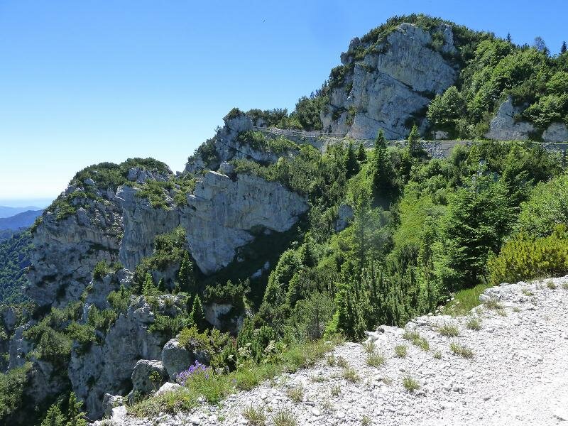
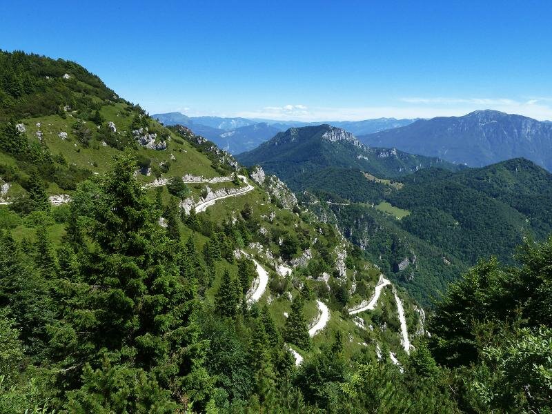
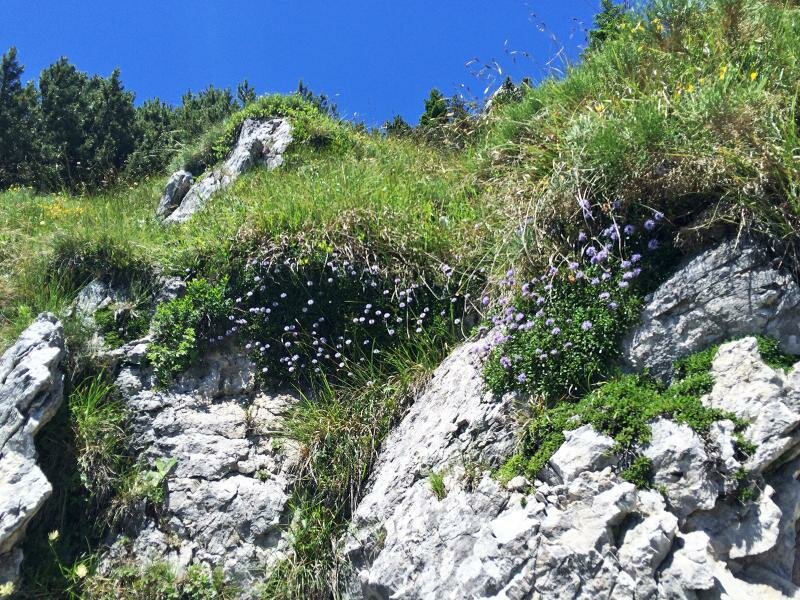
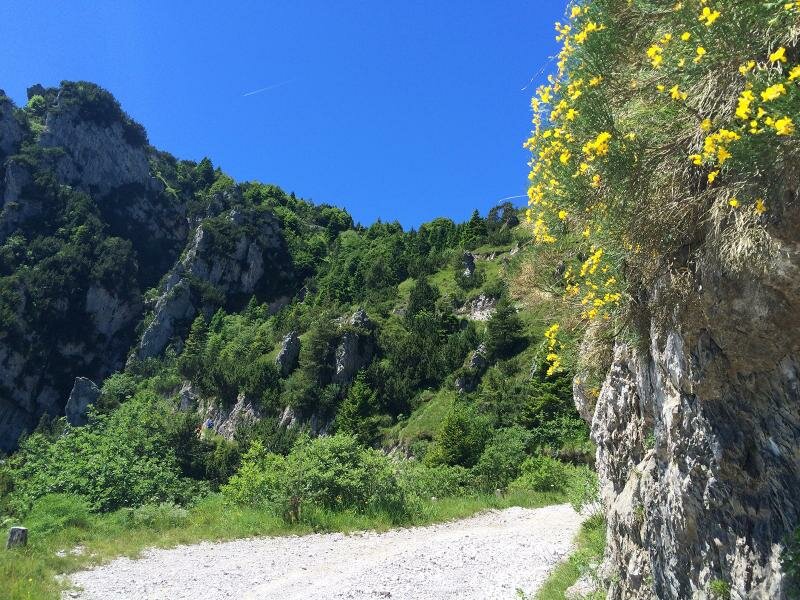
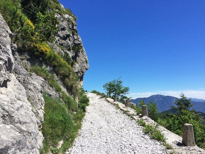
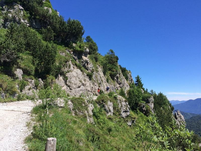
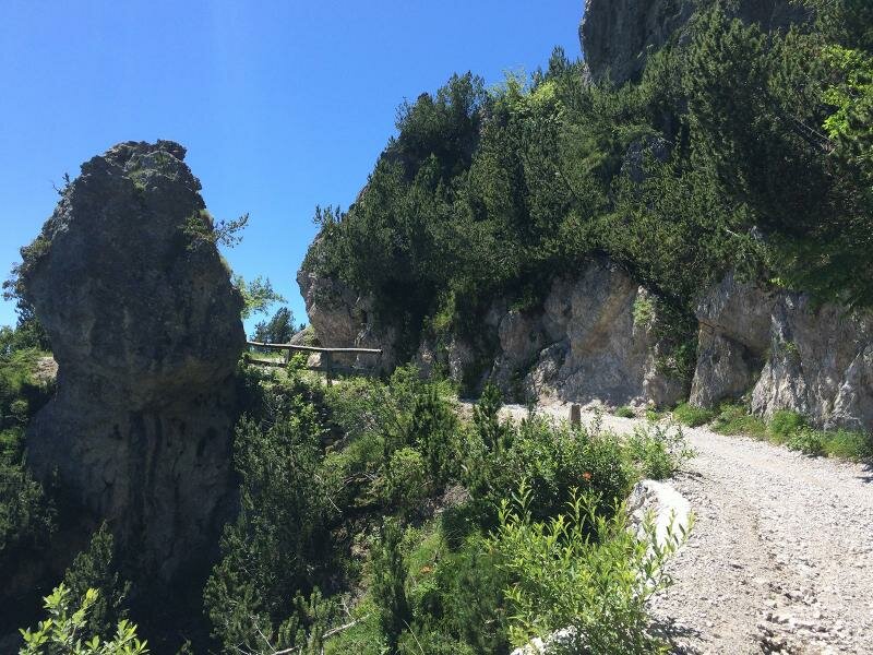
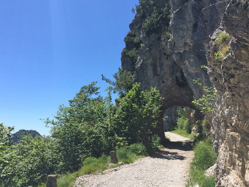
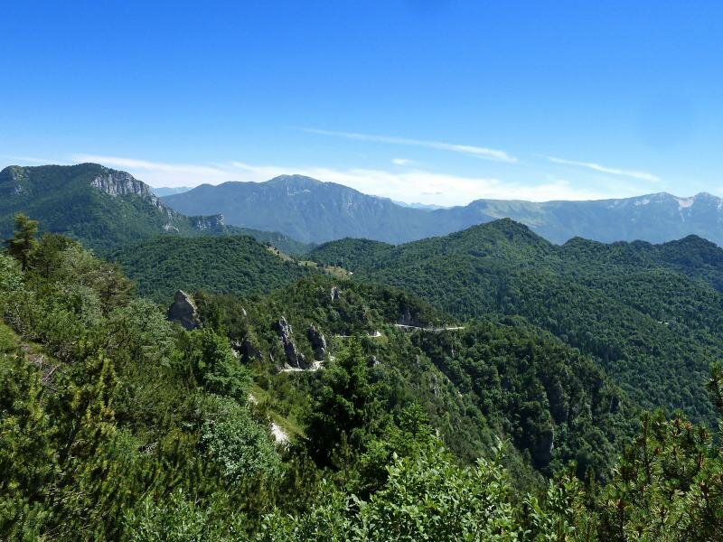
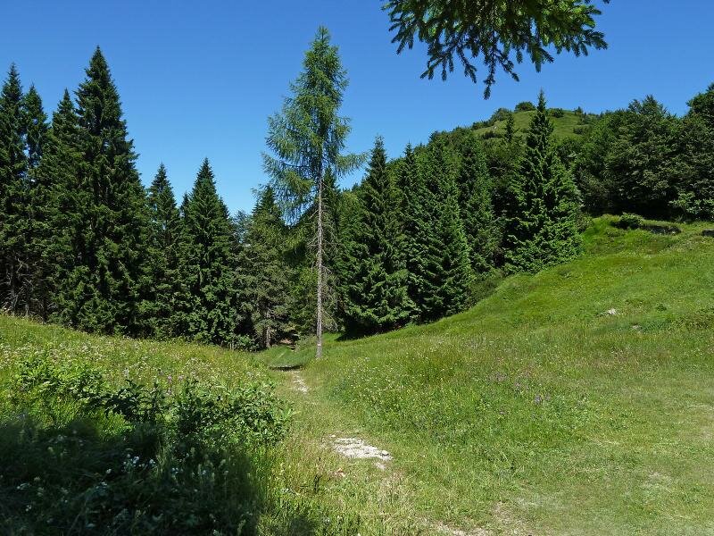
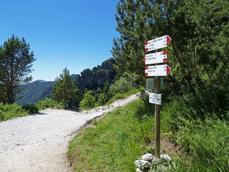
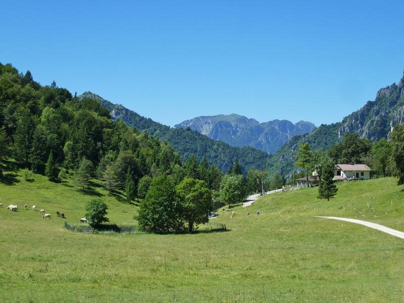
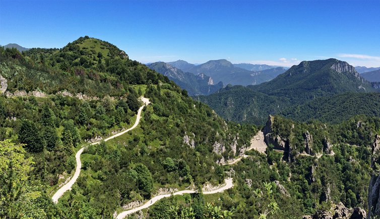
We drive from the Valle di Ledro to the car park on Passo di Tremalzo, where we park our car. We take path no. 224, an old unpaved section of the Strada to Tremalzo. We climb below the rock faces of Monte Tremalzo to a tunnel at 1,855 m a.s.l. Having crossed the tunnel at 1,855 m a.s.l. we continue hiking along the southern slope of the Corno della Marogna in the protected natural area Parco Alto Garda bresciano. The itinerary descends across rocky landscapes and forests. After some hairpin bends we reach the Passo Prà della Rosa, our final destination. The meadow clearing is ideal for a break.
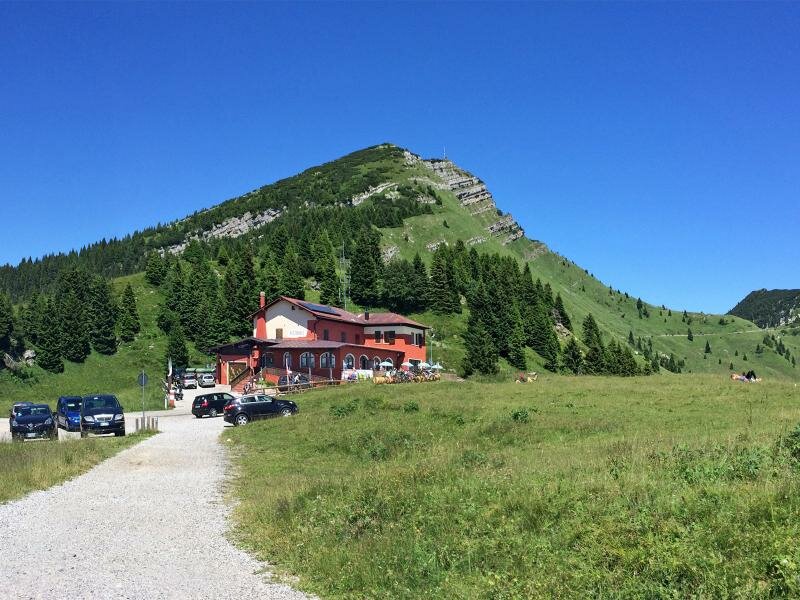
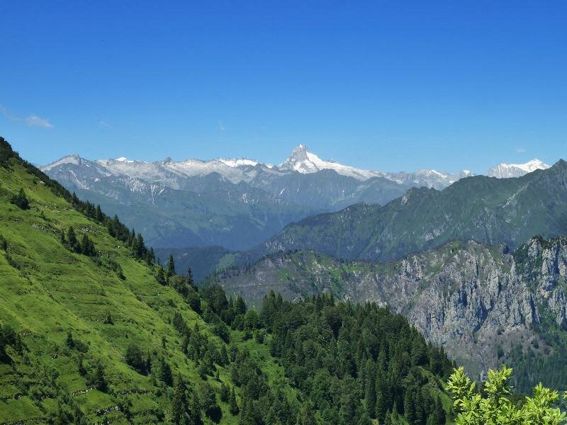
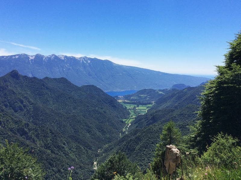
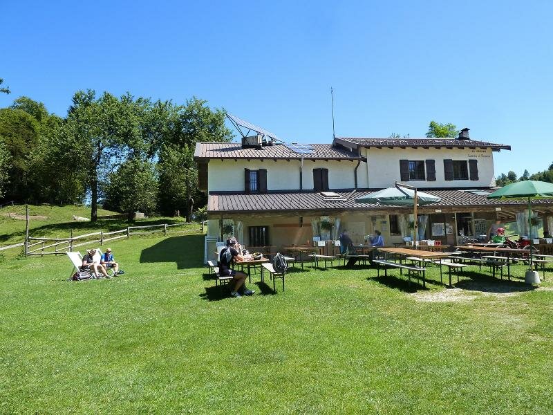
If you would like to extend your hike you can continue along path no. 457 and tackle some hairpin bends leading to passo di Nota at 1,200 m a.s.l. where the rifugio Alpini, a mountain hut and refreshment point lies. However, this approximately 3-km long itinerary has 250 metres of difference in altitude each way and is therefore suitable only for fit hikers on not too hot days. The entire route offers stunning views towards northwest to the Adamello group and towards southeast where Lake Garda extends.
Date of the hike: 19 July 2017
Last updated in: 2026
Author: AT
-
- Starting point:
- parking space at the Passo Tremalzo
-
- Overall time:
- 05:05 h
-
- Total route length:
- 12,9 km
-
- Altitude:
- from 1.429 m to 1.833 m
-
- Altitude difference (uphill | downhill):
- +844 m | -844 m
-
- Signposts:
- 224
-
- Destination:
- Passo Prà della Rosa
-
- Recommended time of year:
- Jan Feb Mar Apr May Jun Jul Aug Sep Oct Nov Dec
-
- Download GPX track:
- Hike from Passo di Tremalzo to Prà della Rosa
If you want to undertake this hike, we recommend checking the weather and trail conditions in advance and on site before starting this hike!