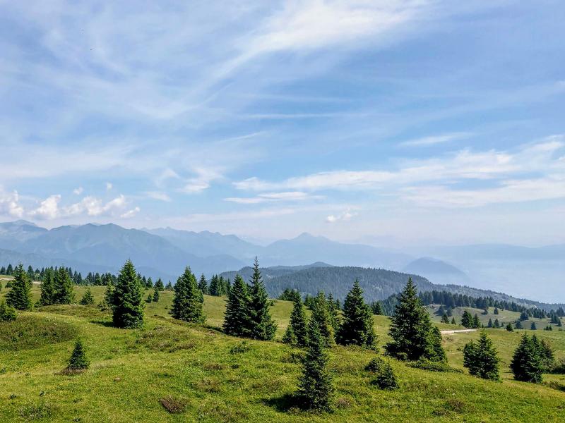
A classic easy route takes us along the western slope of Monte Peller to the borders of the Adamello-Brenta Nature Park
Image gallery: Hike to Malga Clesera and Lago delle Salare
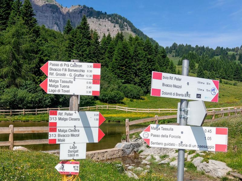
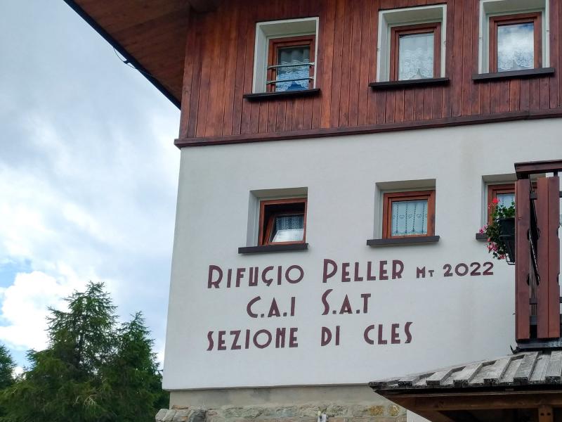
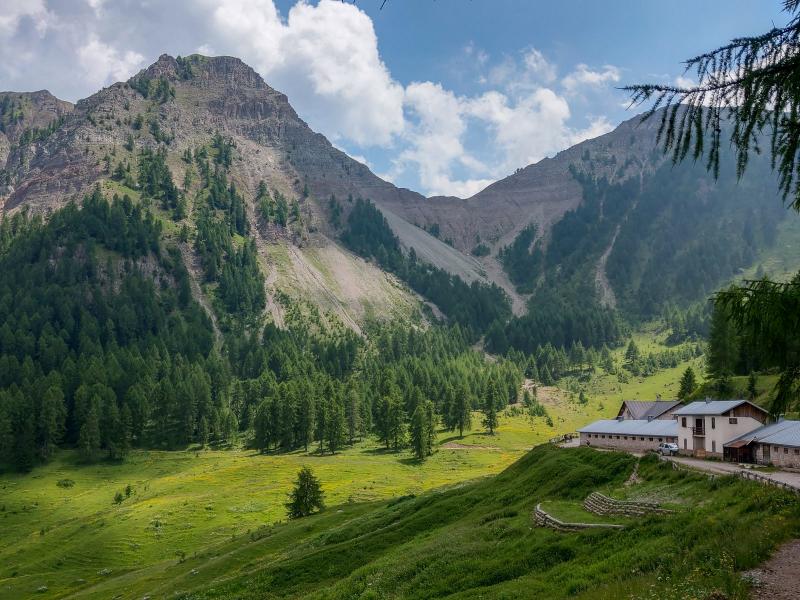
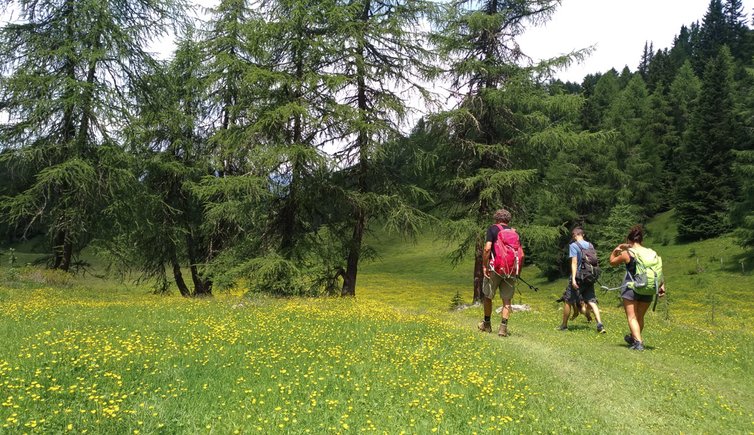
We park the car near Lago Dorigat (at 1,869 m a.s.l.) at the end of a long and sometimes uncomfortable road from Cles and climb along the unpaved path no. 313 on the right towards Malga Clesera. At the first crossroads we shortly get off the road to have a coffee break at the nearby Rifugio Peller.
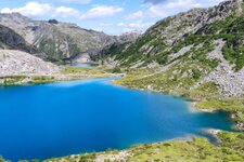
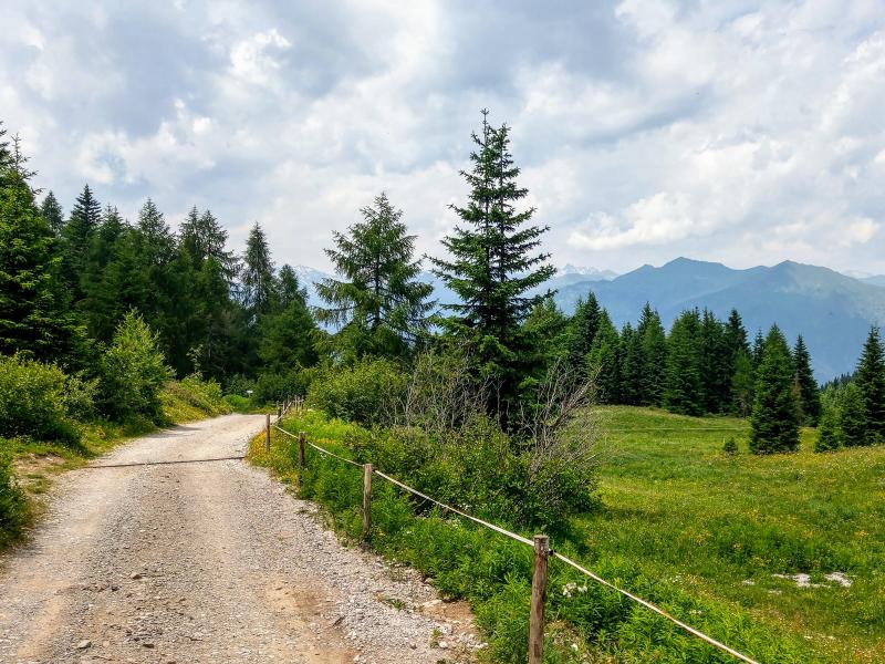
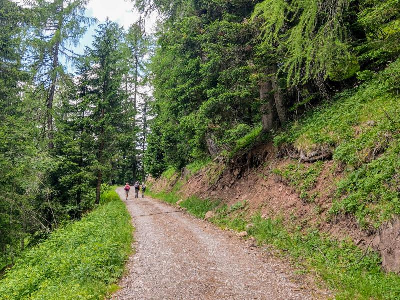
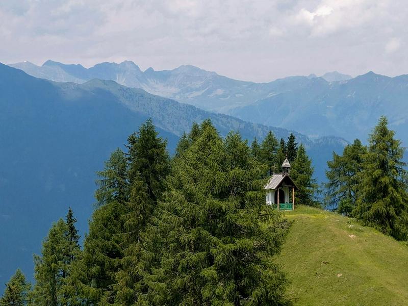
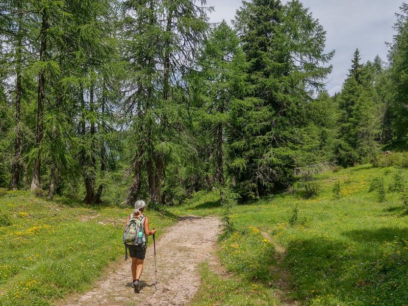
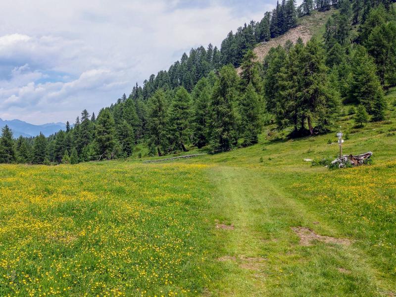
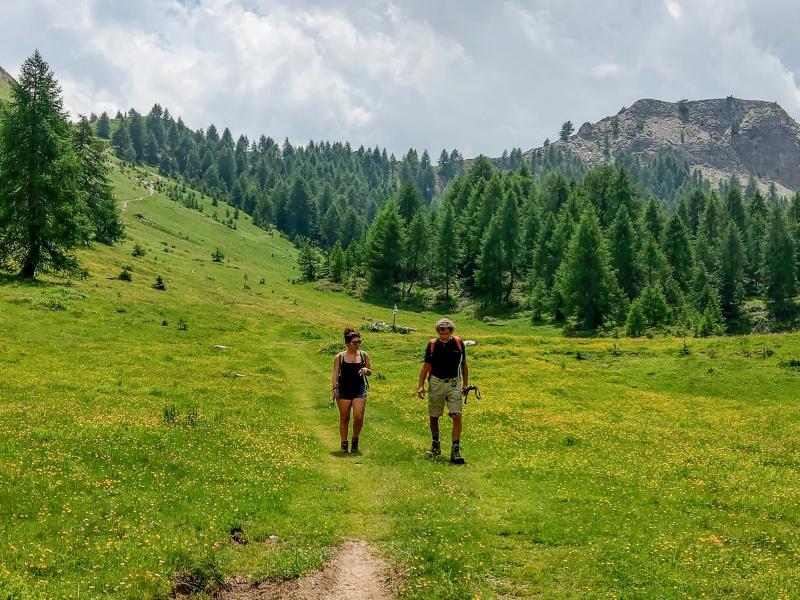
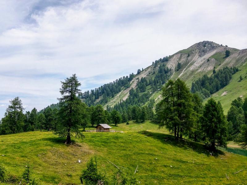
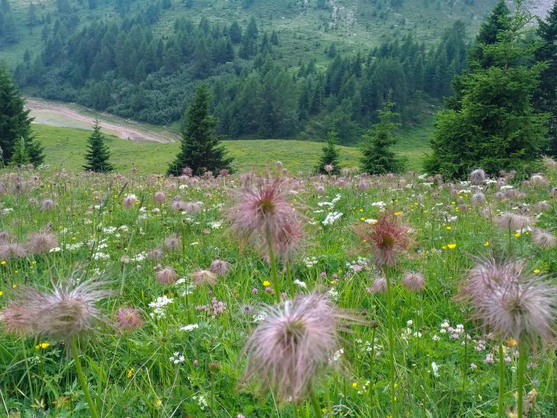
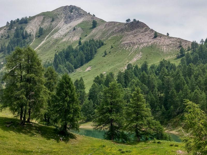
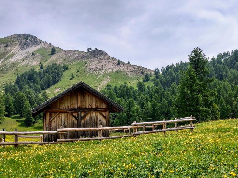
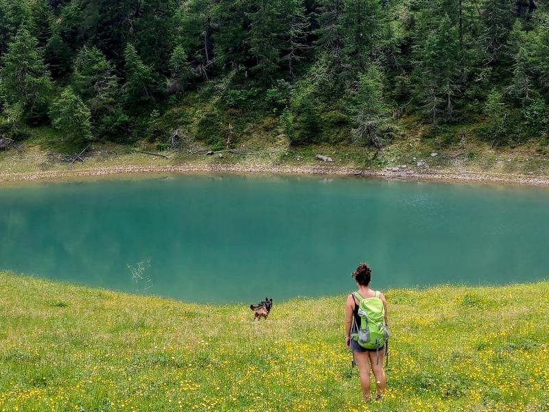
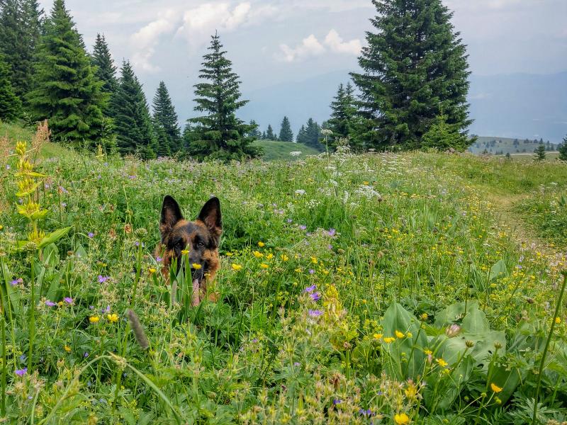
After about an hour walk on an almost flat and easy terrain we arrive at the small mountain chapel Madonna della Neve and continue towards malga Clesera. This managed mountain hut with an in-house cheese factory lies in a wonderful position on the western slope of Monte Peller. After the malga we walk through meadows and forests for 30 minutes to the small lake Salare, our destination. At its shore we enjoy a delicious picnic in the sun and admire the stunning natural landscape around us. On our way back we retrace our steps. Below you can find two valid alternatives:
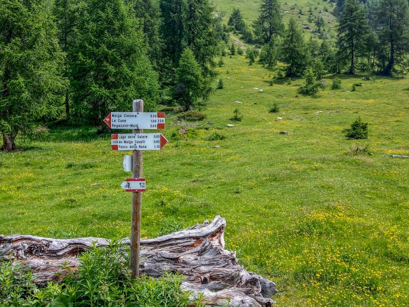
1) ascend to the nearby Passo della Forcola pass and descend to the Val Nana, a wonderful valley on the other slope of Monte Peller. Path no. 336 takes you to the Malga Tassulla and back to the car park at Lago Dorigat (same duration)
2) continue to the malga Val Cavai and cross the Passo della Nana (no. 308) to descend to Malga Tassulla (no. 336) and the car park (about 1 extra hour of walking).
Date of the hike: 6 July 2019
Last updated in: 2026
Author: Giacomo Roccabruna
-
- Starting point:
- parking space at the Lago Dorigat, a lake at the Rif. Peller hut at the end of the long gravel road which leads up from Cles / Bersaglio (signposts „Montagna di Cles / Rifugio Peller") or Tuenno / Mechet (for off-road vehicles only)
-
- Overall time:
- 03:20 h
-
- Total route length:
- 10,5 km
-
- Altitude:
- from 1.869 m to 2.019 m
-
- Altitude difference (uphill | downhill):
- +289 m | -289 m
-
- Route:
- parking space at the Lago Dorigat / Rif. Peller – Malga Clésera – Salare Lake
-
- Signposts:
- no. 313, 308
-
- Resting points:
- Malga Clesera mountain hut
-
- Recommended time of year:
- Jan Feb Mar Apr May Jun Jul Aug Sep Oct Nov Dec
-
- Download GPX track:
- Hike to Malga Clesera and Lago delle Salare
If you want to undertake this hike, we recommend checking the weather and trail conditions in advance and on site before starting this hike!