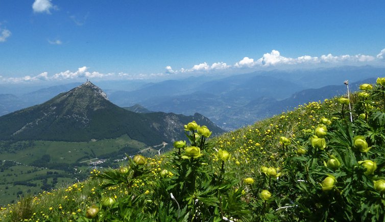
Monte Bondone, a small protected nature reserve above Trento, turns into a huge carpet with millions of blooming alpine flowers in early summer
Image gallery: Mountain tour to the peaks of Mt Bondone
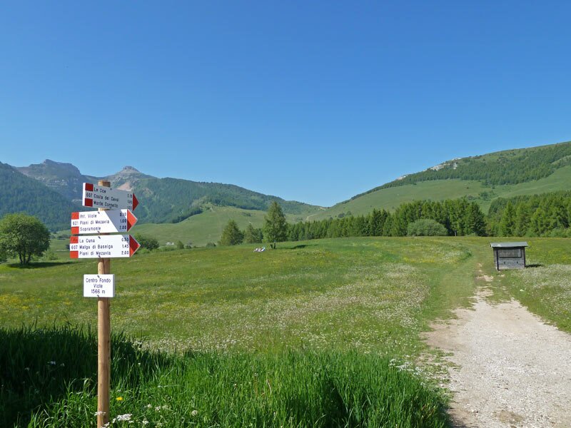
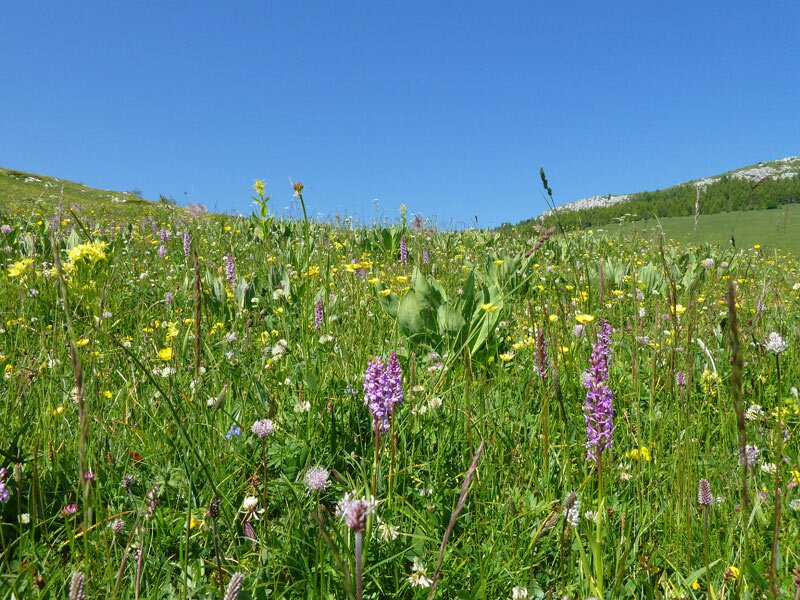
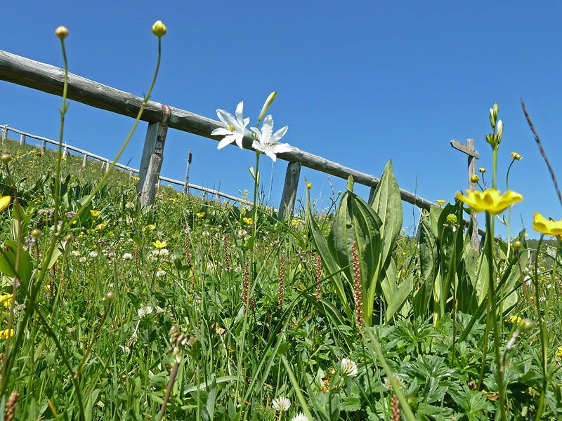
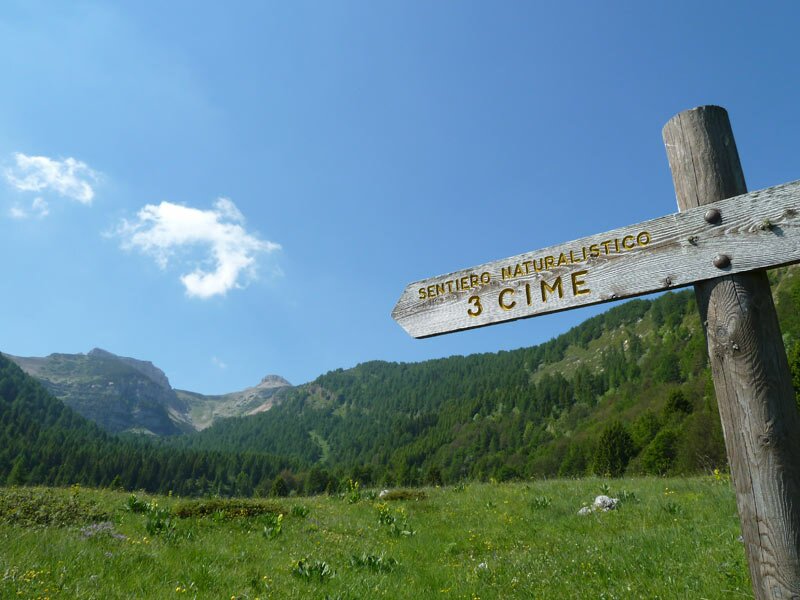
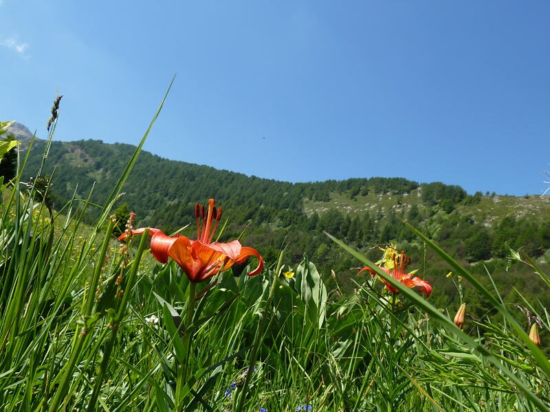
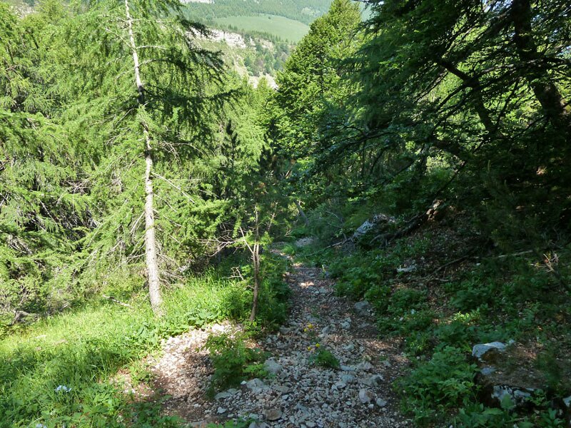
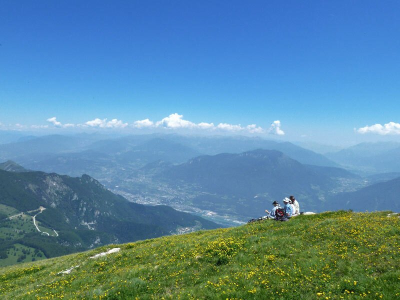
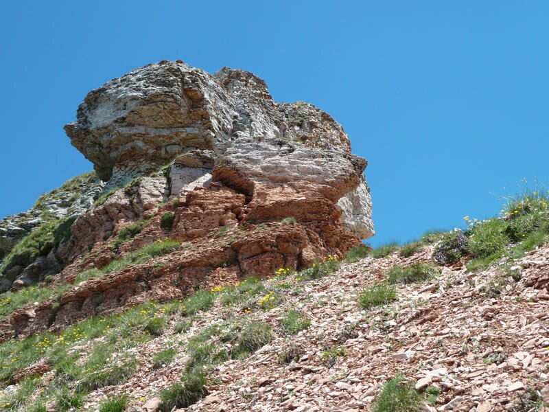
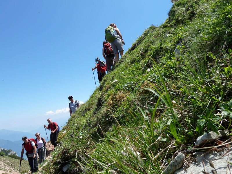
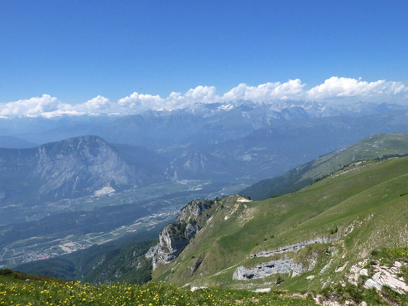
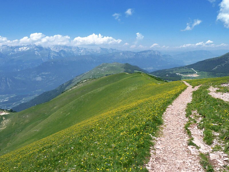
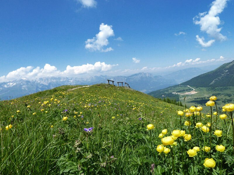

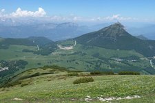
Our starting point is the Rifugio Viote at almost 1,600 m a.s.l. We walk past the astronomical observatory "Terrazza delle Stelle" and then pass by the Viote peat bog. Especially in June, the blooming meadows immerse this landscape into a magical atmosphere. Near the malga, we take a hardly visible path to the left, following the signpost "Sentiero naturalistico". After a short while, we reach the forest, and the path begins to climb the mountain. Our destination is the Cima Verde, at 2,100 m a.s.l. We cross a wood to reach the first peak of Monte Bondone. This summit is embedded in an extensive meadow but caution is highly recommended, as it suddenly ends with a vertical slope. Unfortunately, the view to the Dolomites is misty today, but luckily the blooming meadows more than make up for it.
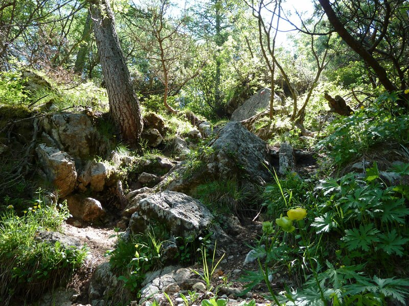
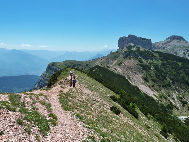
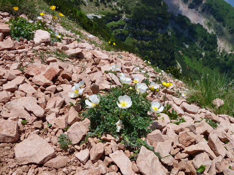
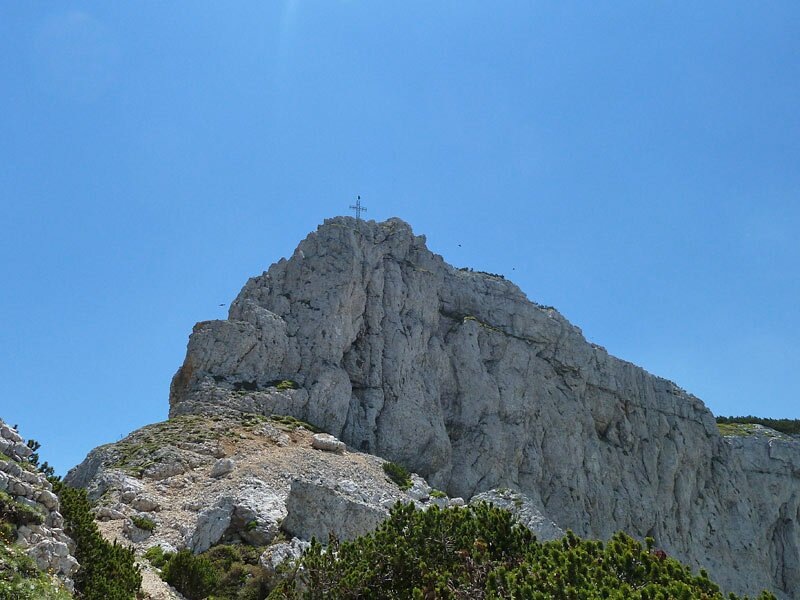
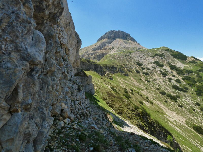
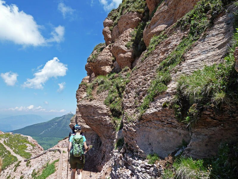
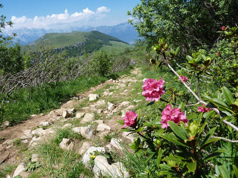
Our next stage runs along the ridge connecting the three peaks and is for sure the most interesting part of the itinerary. To our right, there is a steep scree and, to our left, a more than 100 metres deep gorge plunges over. The second peak, Dos d'Abramo appears before us. We walk around the peak on the right side, via Sella Dos d'Abramo, and approach Cornetto, the third and final peak of Monte Bondone. The descent begins to our right. We walk through the fabulous Ginever and Costa dei Cavai meadows to reach the forest, then return then to the Viote meadows along the same path. This hike will definitely hold a special place in our memory thanks to the stunning and immeasurable beauty of the natural landscape in this area.
Author: AT
-
- Starting point:
- Viote Mountain Hut (cross-country centre), big parking space and connection to the public bus from Trento available
-
- Overall time:
- 04:00 h
-
- Total route length:
- 8,6 km
-
- Altitude:
- from 1.559 m to 2.046 m
-
- Altitude difference (uphill | downhill):
- +593 m | -593 m
-
- Signposts:
- SAT 607, Sentiero naturalistico Tre Cime del Bondone, 636, 607
-
- Destination:
- Tre Cime del Bondone
-
- Recommended time of year:
- Jan Feb Mar Apr May Jun Jul Aug Sep Oct Nov Dec
-
- Download GPX track:
- Mountain tour to the peaks of Mt Bondone
If you want to undertake this hike, we recommend checking the weather and trail conditions in advance and on site before starting this hike!