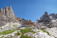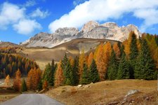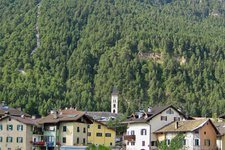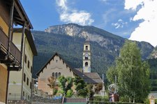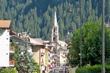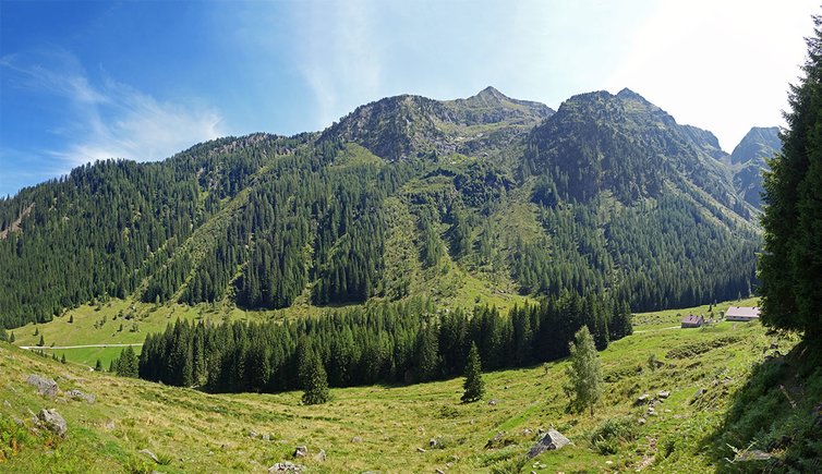
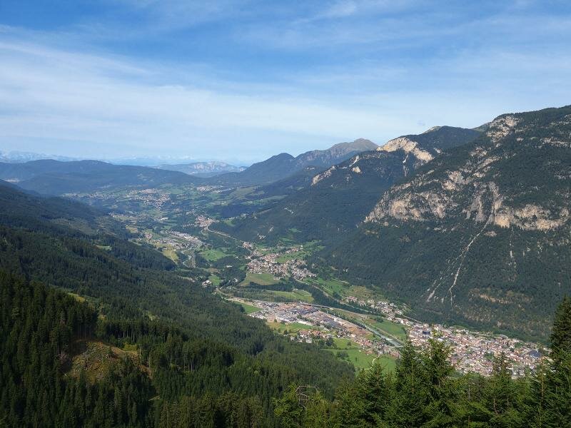
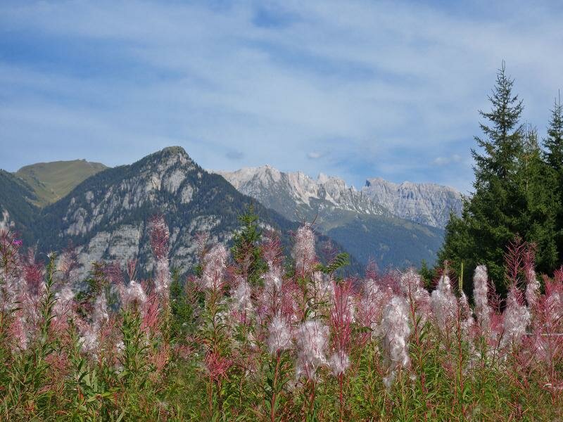
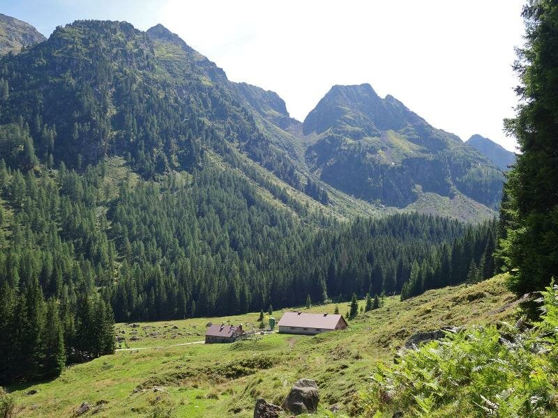
A pleasant walk in the forests of the Lagorai! The Val Sadole is situated above the village of Ziano di Fiemme with its malghe and the rifugio Cauriol. We climb through the Bambesta forest and descend the forest path along the Rio Sadole
Image gallery: Walking tour in the Val Sadole
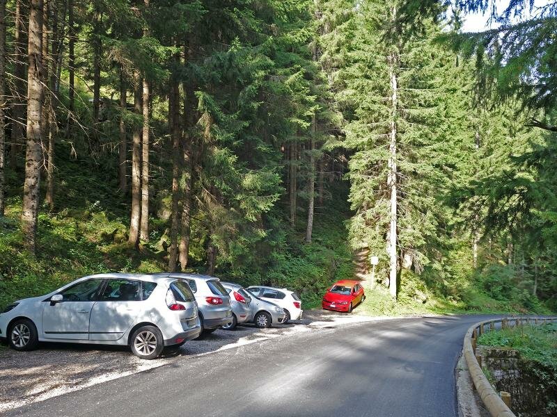
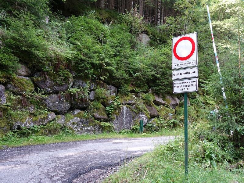
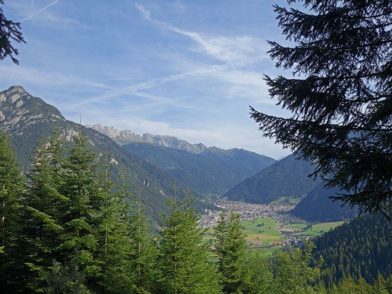
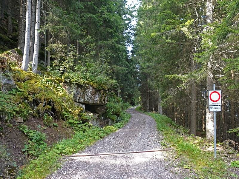
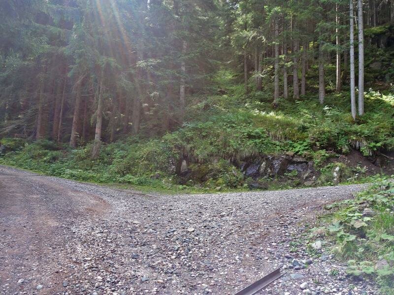
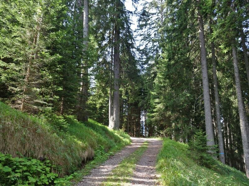
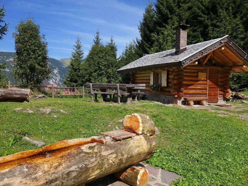
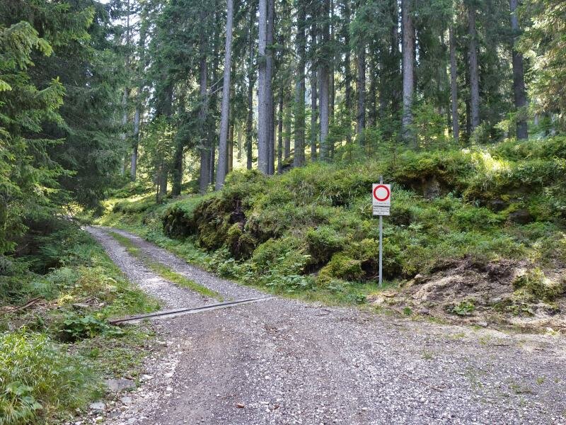
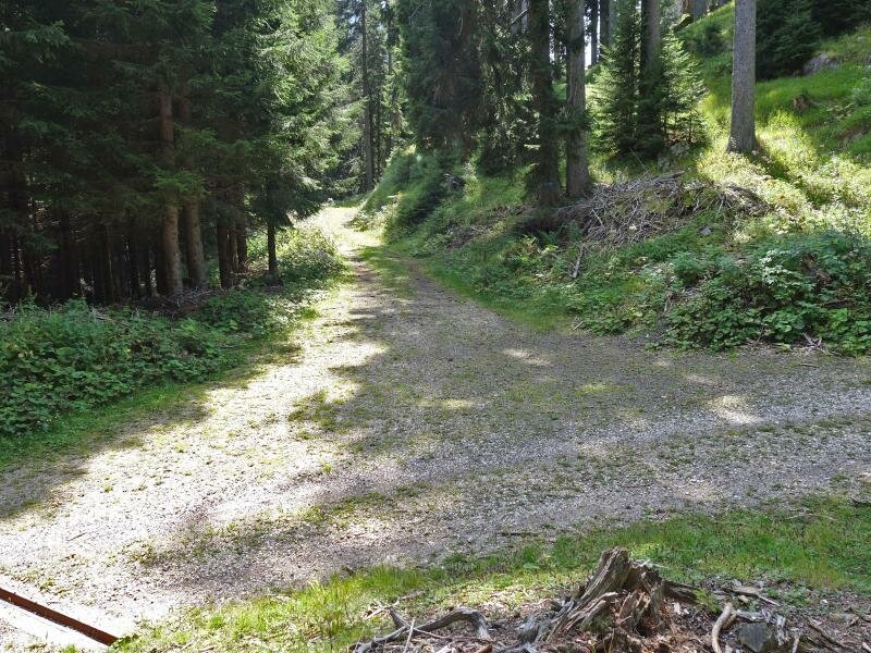
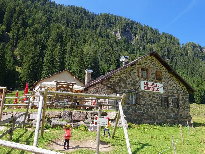
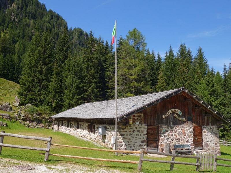
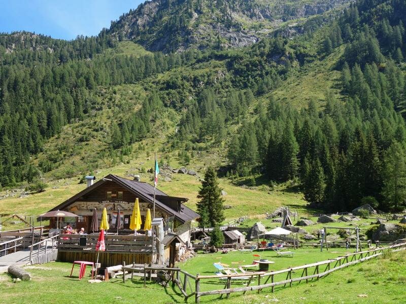
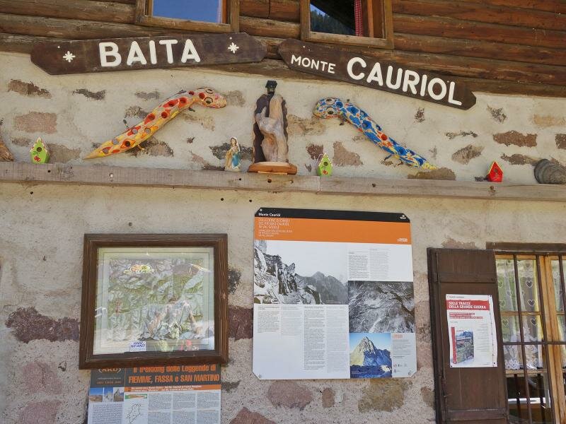
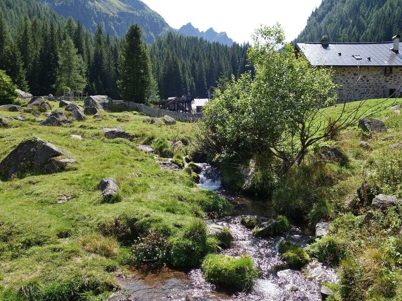
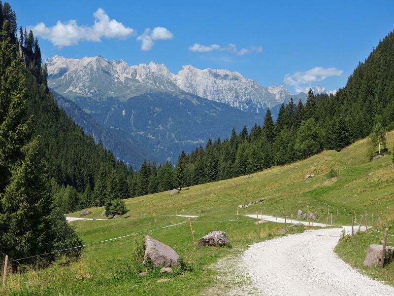
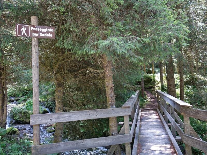
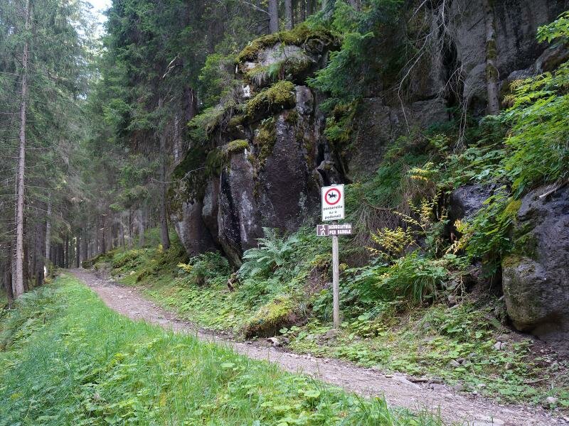
The access road to the Val Sadole begins in Ziano di Fiemme, in the village of Bosin. We drive past a car park on the left and park in a smaller one on the right side of the road, the starting point of our hike. We climb a forest path on the right. At the first crossroads, we take the forest road on the left and at the second junction we follow the "Cros del Giacinto" road on the right, leading to Campiol de Bambesta, a mountain hut open to the public and equipped with banks and tables, making it ideal for a break.
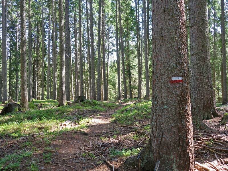
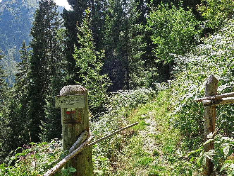
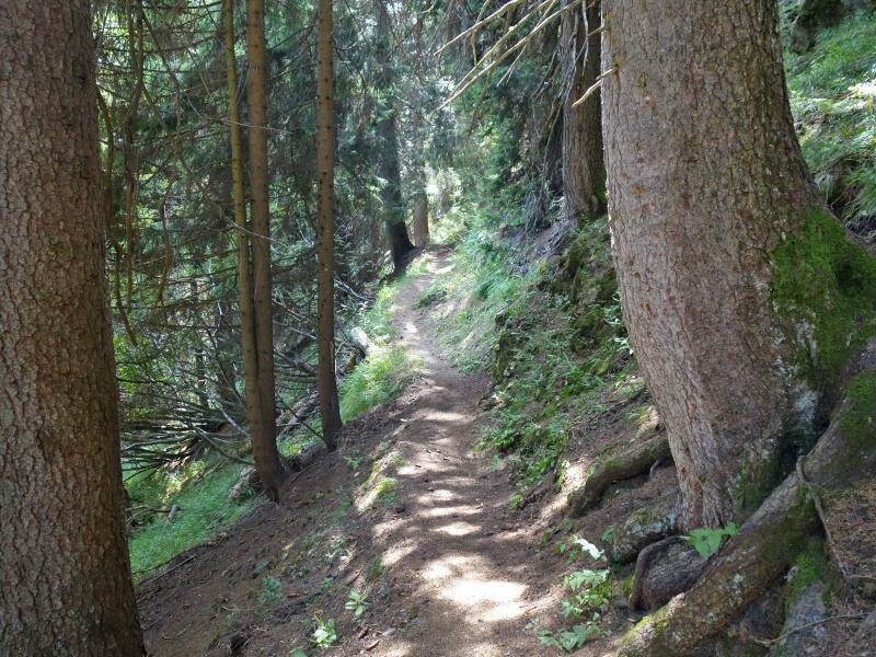
We continue on a forest path behind the baita, heading eastwards. At the next crossroads, we ascend the slope on the left and at the junction following a serpentine, we continue on the left. This path (white-red signpost) descends towards the Val Sadole past Malga Sadole and the nearby Rifugio Cauriol. After a well-deserved break, we descend along the forest road of the Val Sadole to return to our starting point.
Author: AT
-
- Starting point:
- Ziano di Fiemme, Via Sadole
-
- Overall time:
- 03:00 h
-
- Total route length:
- 9,1 km
-
- Altitude:
- from 1.321 m to 1.764 m
-
- Altitude difference (uphill | downhill):
- +572 m | -572 m
-
- Route:
- forest road "Cros del Giacinto" - "Campiol de Bambesta" hut - no. 370 - Malga Sadole hut - no. 320
-
- Signposts:
- Bosco de Bambesta forest - Malga Sadole/Rif. Cauriol hut
-
- Resting points:
- Rifugio Baita Monte Cauriol, Malga Sadole
-
- Recommended time of year:
- Jan Feb Mar Apr May Jun Jul Aug Sep Oct Nov Dec
-
- Download GPX track:
- Walking tour in the Val Sadole
If you want to undertake this hike, we recommend checking the weather and trail conditions in advance and on site before starting this hike!