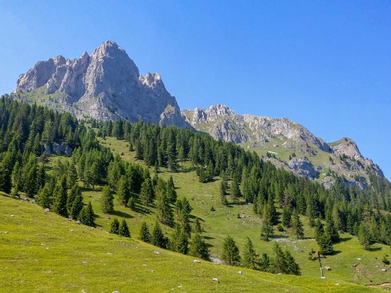
This classic route in the Val di Tóvel starts at one of the most beautiful Alpine lakes and leads through the north-eastern section of the Adamello-Brenta Nature Park
Image gallery: From Lake Tóvel to Malga Tuena
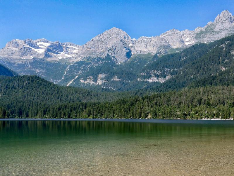
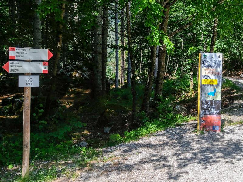
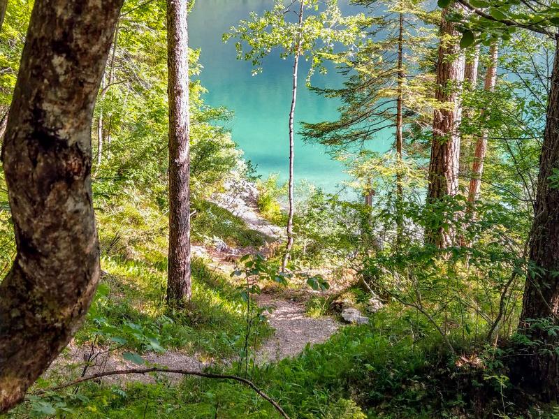

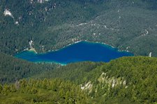
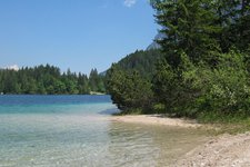
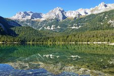
We begin our hike to Malga Tuena on a beautiful weekday in June from the car park of Lake Tóvel, which usually is sold out quickly at weekends (further information in the note "starting point"). Lake Tóvel is also known as the "lago rosso" (red lake), thanks to a unique natural phenomenon that occurred annually until 1964, when the algae Tovellia sanguinea coloured the lake water red during its bloom. This body of water is embedded in a stunning natural landscape below the northern Brenta Dolomites. We highly recommend undertaking a side trip to this lake.
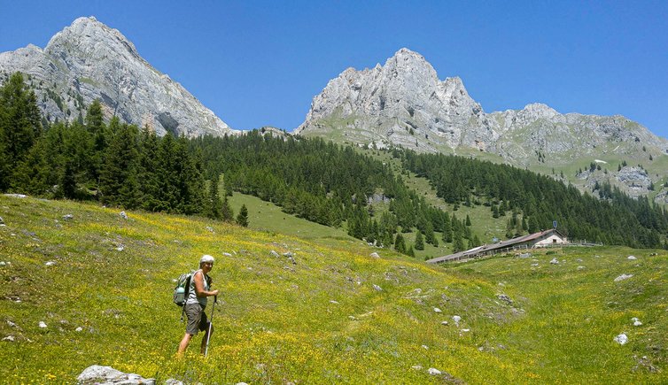
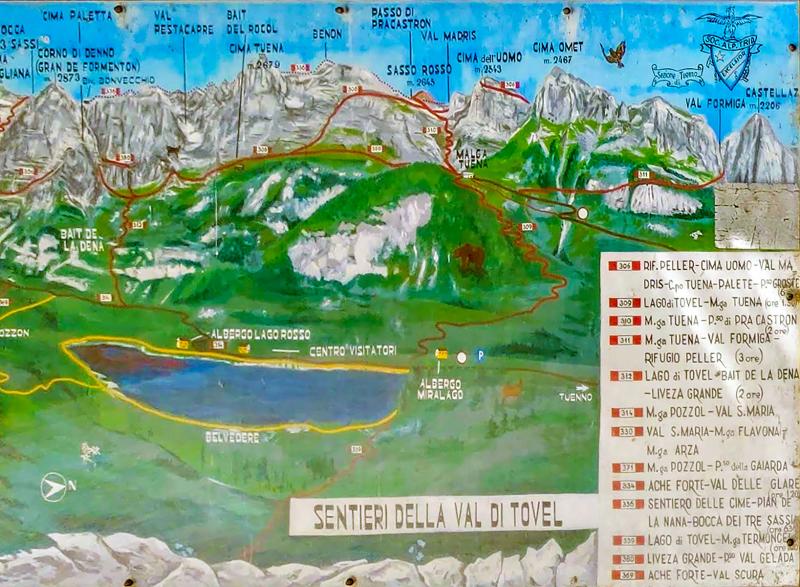
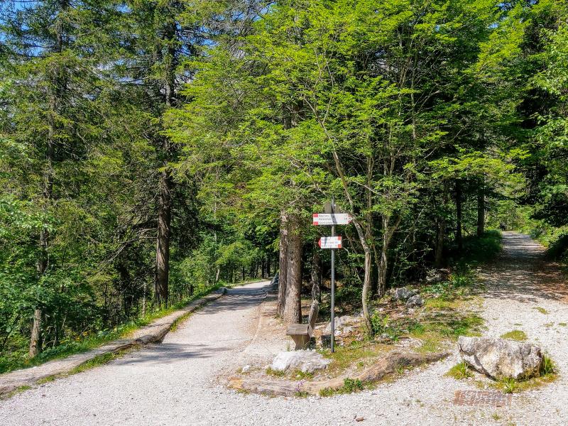
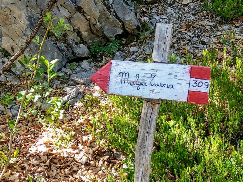
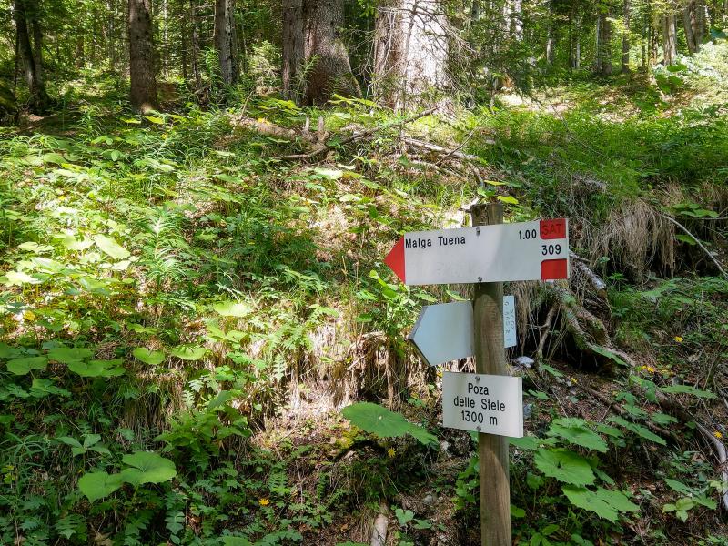
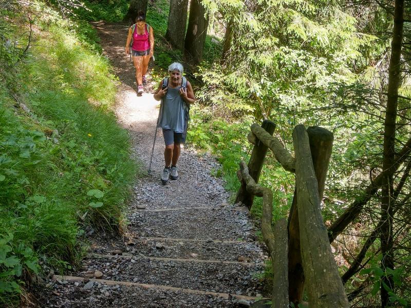
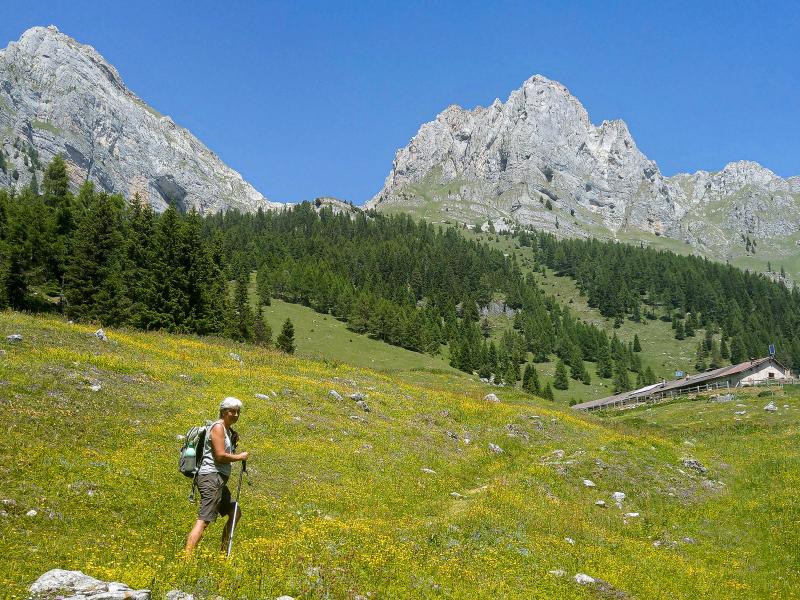
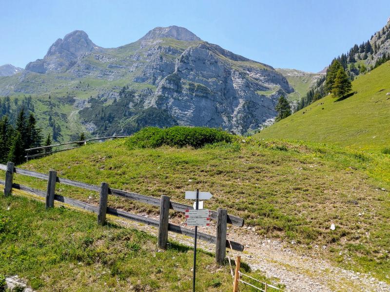
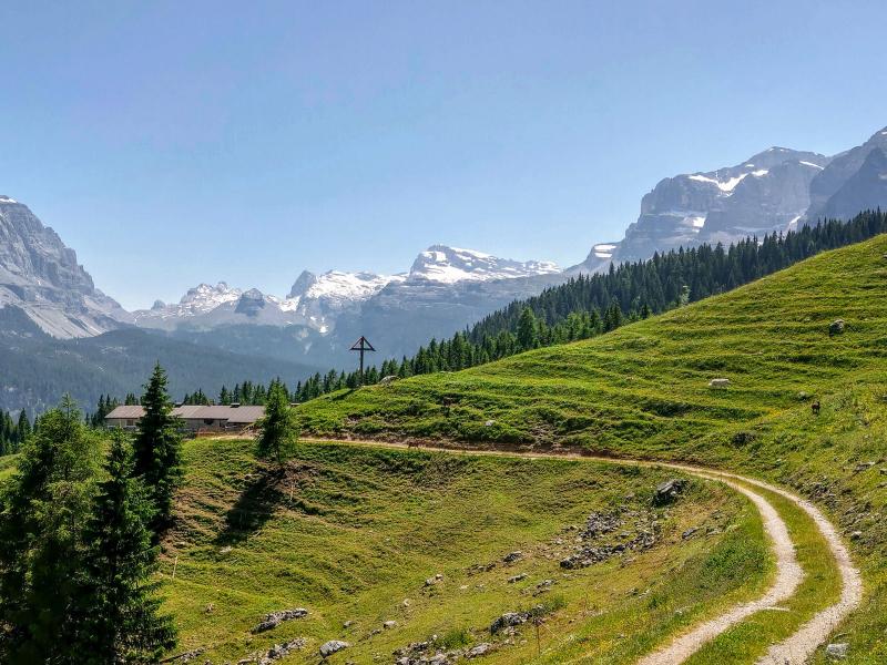
In the proximity of Chalet Tóvel, we take the white road on the right, where the path around the lake begins. At path no. 309, signposted "Malga Tuena", we turn right onto an unpaved path which leads uphill through the forest. Soon, the climb becomes steeper with significant gradients, including some sections with steps and several switchbacks, leading us steadily higher. After about an hour of walking time, the forest gives way to the meadows of Malga Tuena (or Tuenna).
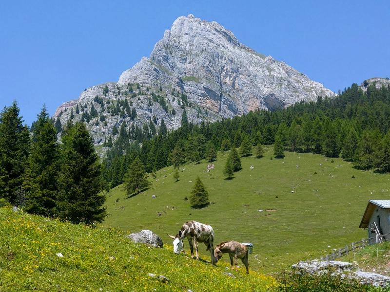
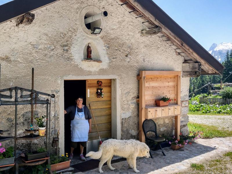
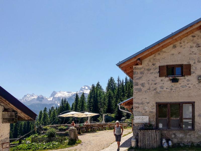
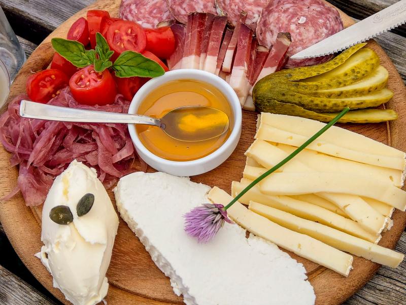
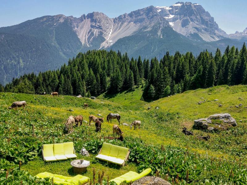
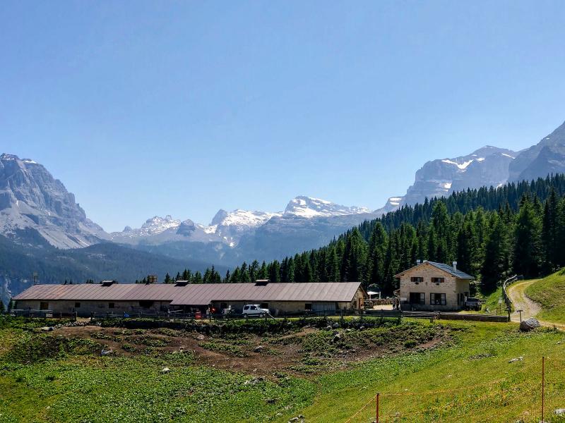
After a rest at the malga, which is also an agriturismo with a cheese factory and a beautiful panoramic terrace offering views of the Brenta Dolomites, we return to our starting point via the same route. It's a shame this beautiful hike is already over, but for sure this was not our last time at Lake Tovel.
Date of the hike: 26 June 2019
Last updated in: 2026
Author: Giacomo Roccabruna
Please note:
-
the provincial road no. 14 leading to Lake Tovel is currently closed due to the construction of a new rockfall tunnel. The works are expected to be concluded by spring 2026.
Access modalities:
- Before driving to Lake Tovel, visitors must purchase a daily ticket for one of the 8 available parking spaces (pre-booking is not possible, except for coaches) at the Lake Tovel ticket office in Tuenno at the piazzale ex Cofco (ex Russia) in Via Trento.
- A free shuttle bus takes visitors to the lake from remote car parks (round trip)
- Visitors with disabilities have free access, but must also register at the ticket office in Via Trento where they will be assigned one of the available parking spaces
- Reduced tickets after 3 pm
- Motorcyclists can purchase a 3-hour ticket instead of a daily ticket.
-
- Starting point:
- Parking space at Lake Tóvel
-
- Overall time:
- 03:15 h
-
- Total route length:
- 8,0 km
-
- Altitude:
- from 1.165 m to 1.735 m
-
- Altitude difference (uphill | downhill):
- +570 m | -570 m
-
- Route:
- Lake Tóvel – Poza delle Stele – Malga Tuena mountain hut
-
- Signposts:
- "Malga Tuena", no. 309
-
- Destination:
- Malga Tuena
-
- Resting points:
- Malga Tuena (currently closed)
-
- Recommended time of year:
- Jan Feb Mar Apr May Jun Jul Aug Sep Oct Nov Dec
-
- Download GPX track:
- From Lake Tóvel to Malga Tuena
If you want to undertake this hike, we recommend checking the weather and trail conditions in advance and on site before starting this hike!