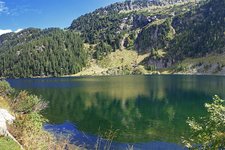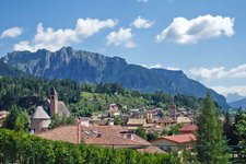
This short hike takes us to the clear lakes above Cavalese, near the Valle di Lagorai with views of the Dolomites
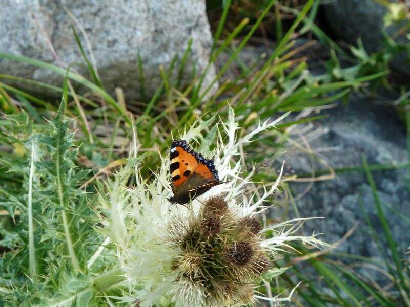
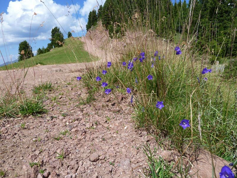
Image gallery: Hike from Mt Paion del Cermis to the Laghi di Bombasèl
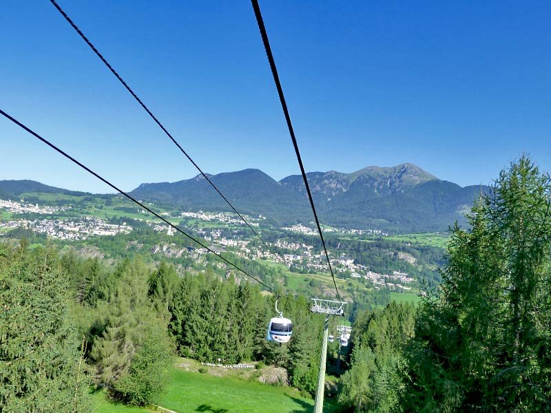
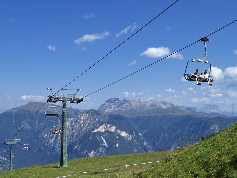
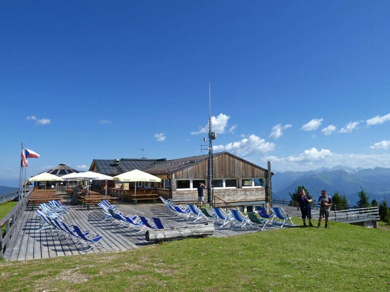
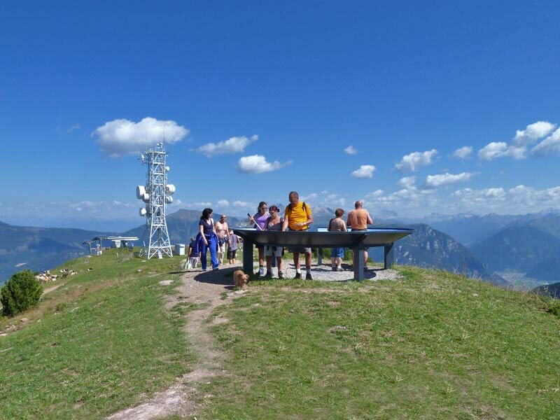
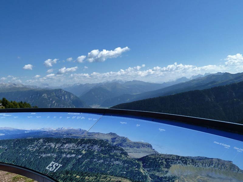
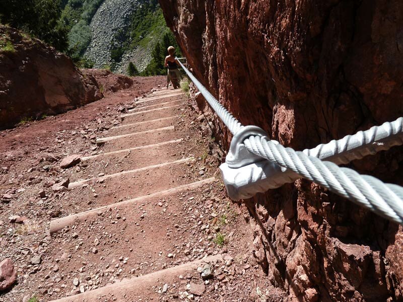
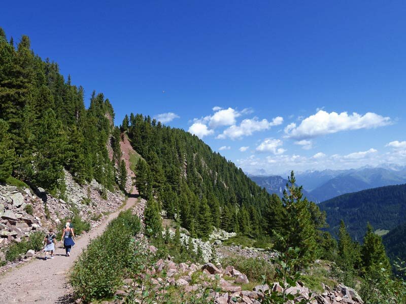
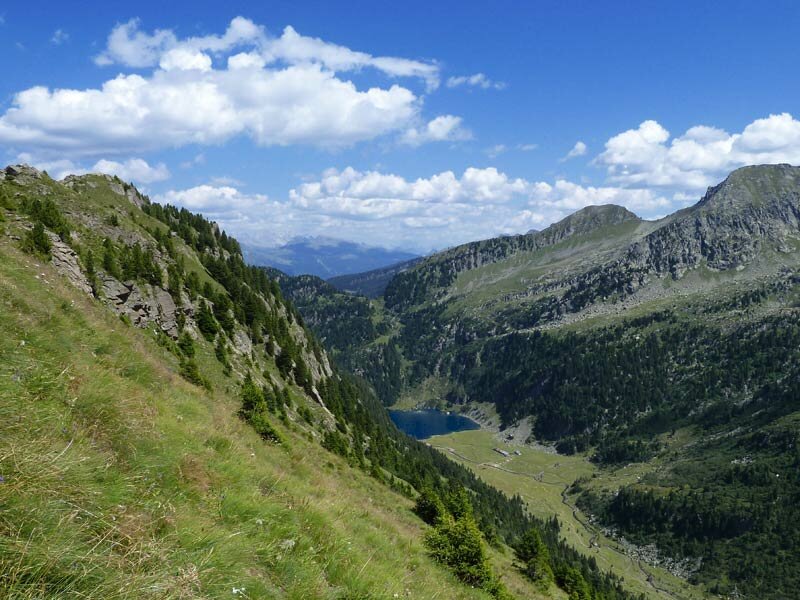
In Cavalese, we take the cable car to Doss dei Laresi and then another cable car and a chair lift to Paion del Cermis at 2,200 m a.s.l., the starting point of our hike. We follow trail SAT 353 (also signposted L03) past the "Panoramio Lagorai 360" viewpoint and continue towards the Forcella del Bombasèl, a mountain pass. We descend numerous stairs and proceed along the path to the lakes, which we reach after a 40-minute walk.
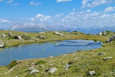
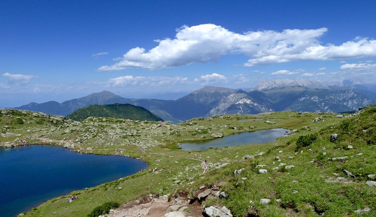
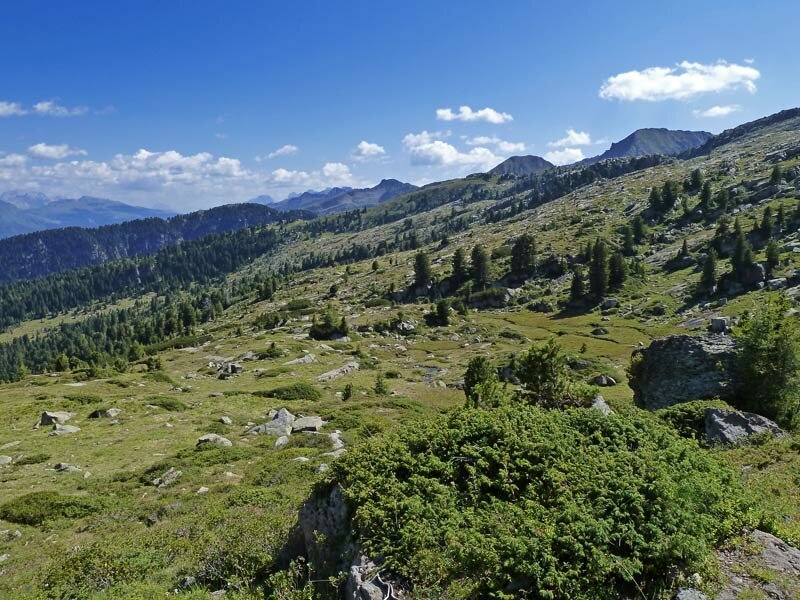
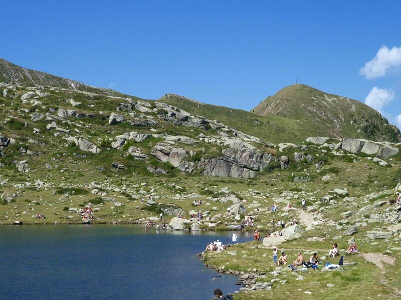
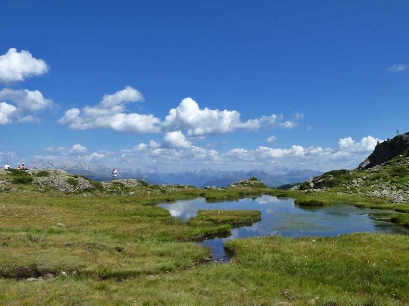
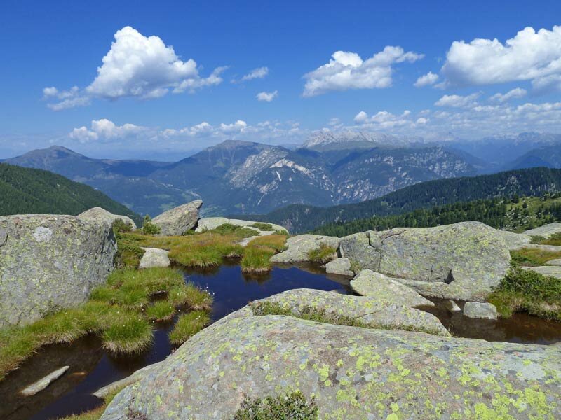
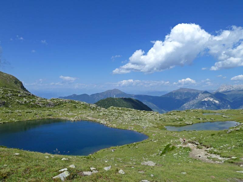
In the proximity of the meadows of Bombasèl, dominated by the peaks of the Lagorai group, lie a large and several smaller lakes, ponds and swamps. This place is an ideal spot for a relaxing picnic in nature. More ambitious hikers can continue towards Cima Lagorai or descend to Lago di Lagorai. Both hikes can be completed in some hours. Today, however, we prefer enjoying nature before returning to the mountain station of the cable car along the same path. We take the cable car back to the Val di Fiemme.
Date of the hike: 20 August 2011
Last updated in: 2026
Author: AT
-
- Starting point:
- Paion del Cermis (from Cavalese by the Alpe Cermis cable car)
-
- Overall time:
- 01:45 h
-
- Total route length:
- 5,0 km
-
- Altitude:
- from 2.158 m to 2.286 m
-
- Altitude difference (uphill | downhill):
- +201 m | -201 m
-
- Signposts:
- SAT 353, L 03 "Laghi di Bombasel"
-
- Destination:
- Bombasèl lakes
-
- Resting points:
- Lo Chalet
-
- Recommended time of year:
- Jan Feb Mar Apr May Jun Jul Aug Sep Oct Nov Dec
-
- Download GPX track:
- Hike from Mt Paion del Cermis to the Laghi di Bombasèl
If you want to undertake this hike, we recommend checking the weather and trail conditions in advance and on site before starting this hike!