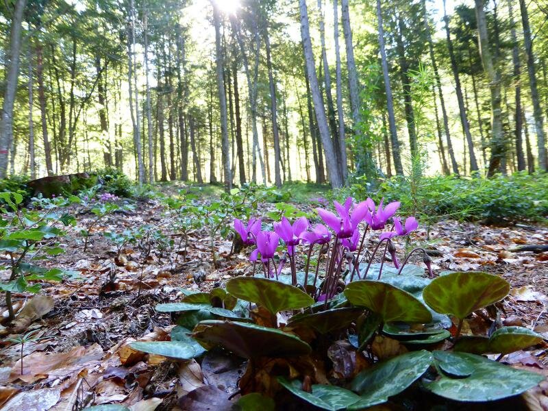
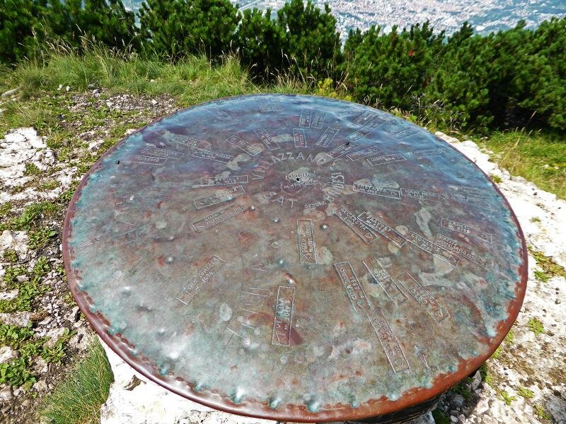
This moderately high mountain and well-known panoramic viewpoint is covered with wonderful forests and meadows
Image gallery: Hike from the Rifugio Maranza to the Cima La Marzola
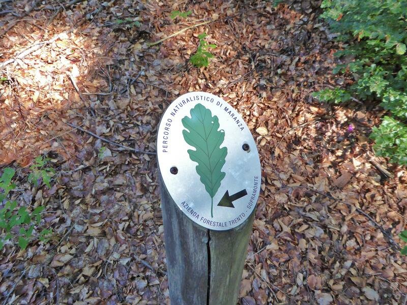
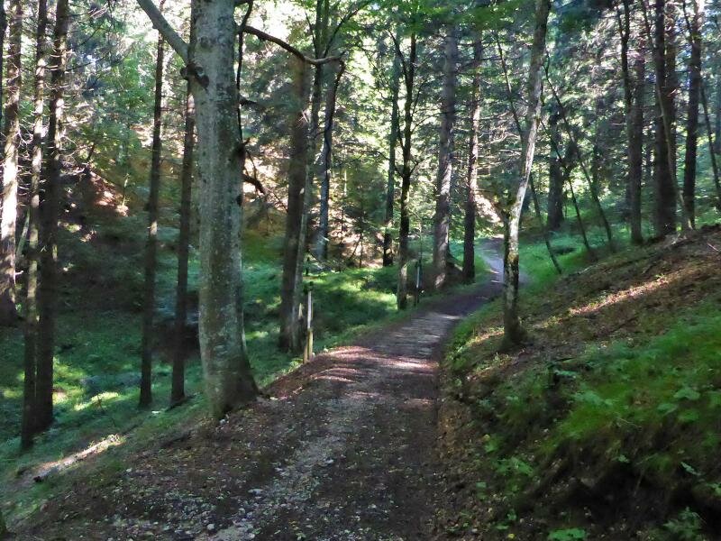
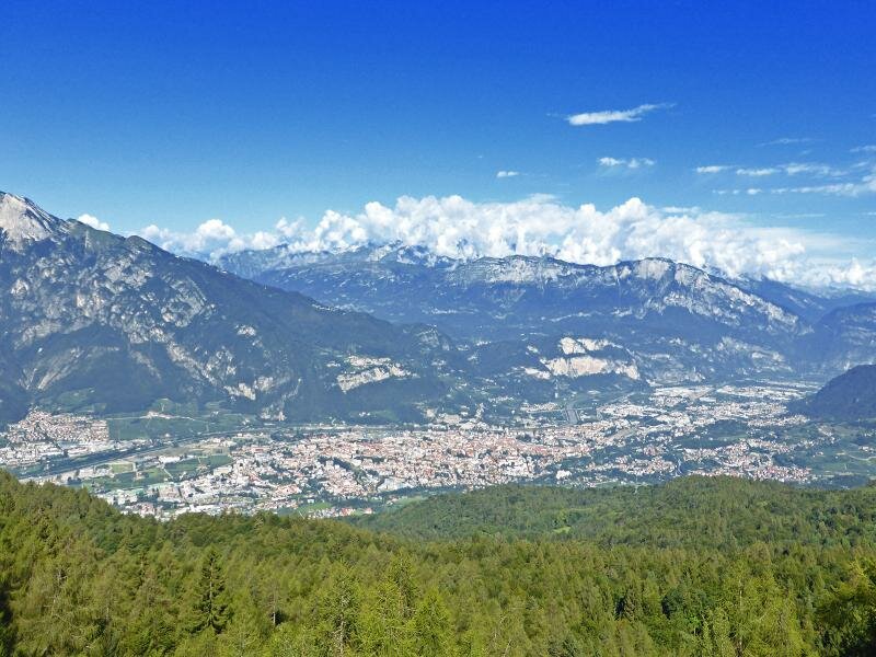
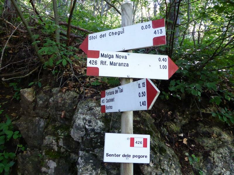
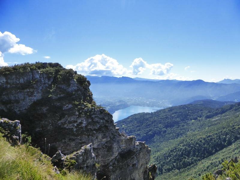
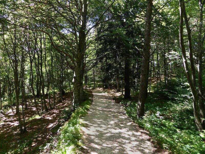
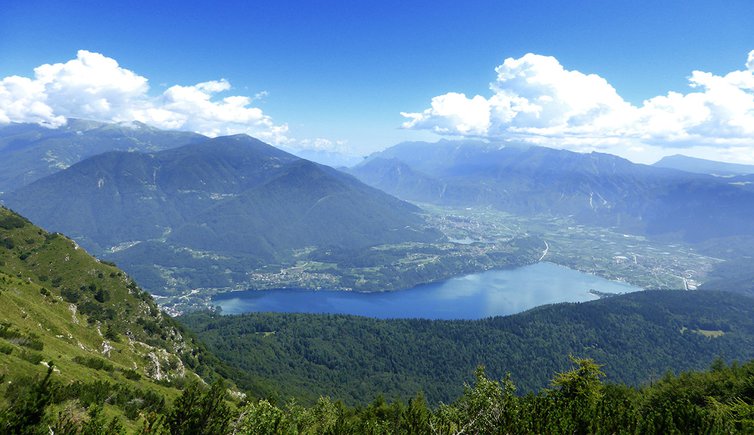
We drive from Trento to the Rifugio Maranza car park (1,090 m a.s.l.) past Povo and Cimirlo, along a narrow mountain road. We start our hike on path no. 426, a wide itinerary leading to Malga Nova (1,210 m a.s.l.), which then merges into a steep path to the Croce di Chegul (1,362 m a.s.l.). Clearings in the forest delight us with a view of the city of Trento and the Valle dell'Adige and the peaks of the Brenta Dolomites in the background.
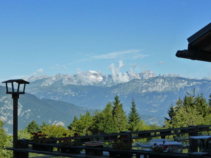
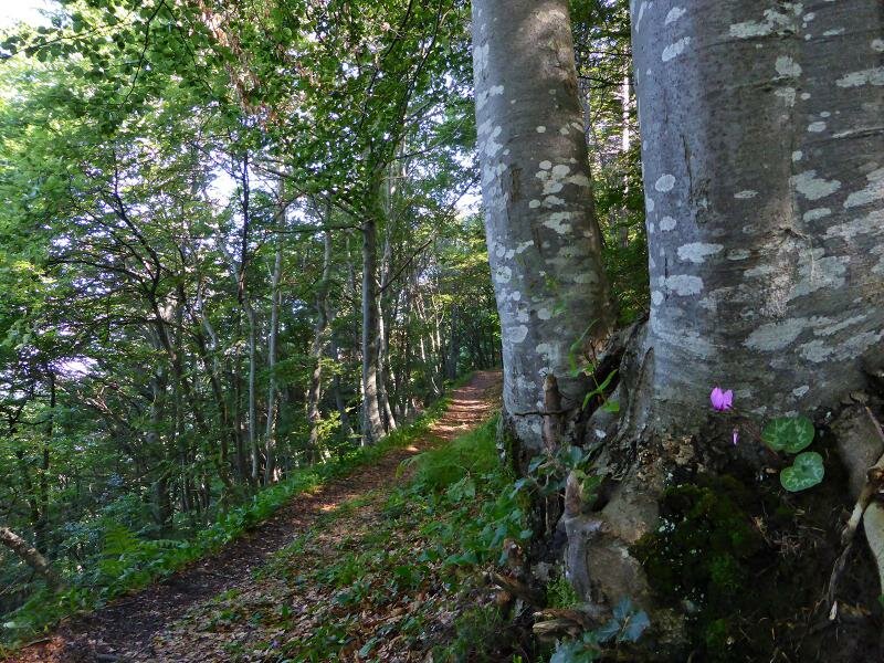
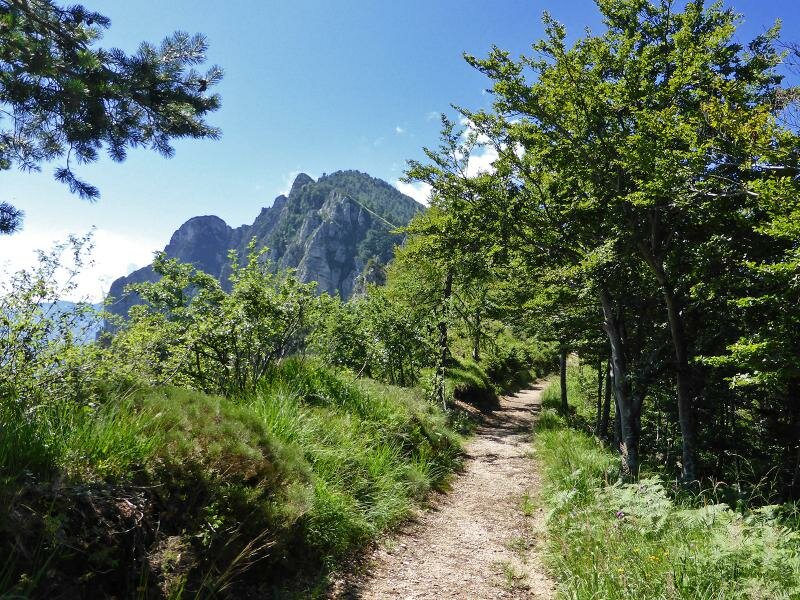
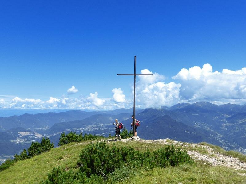
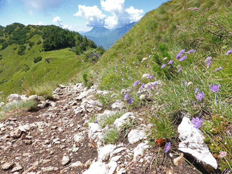
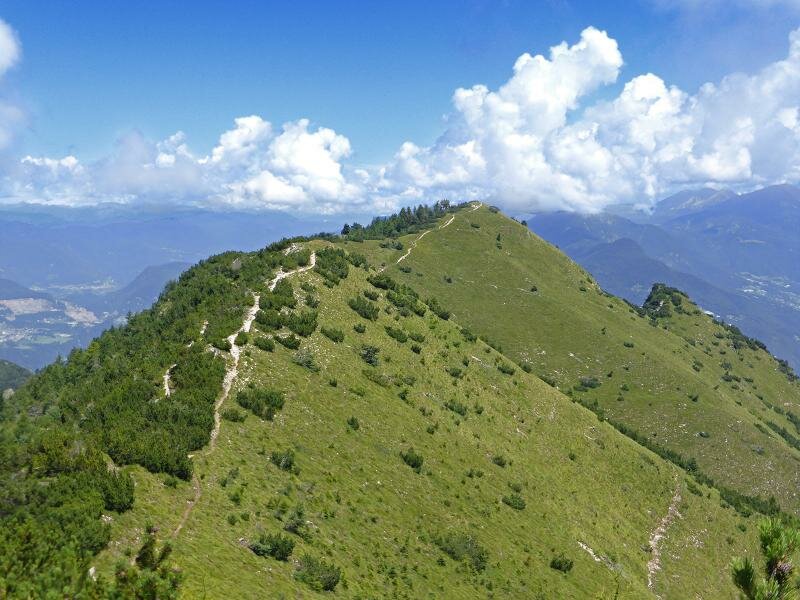
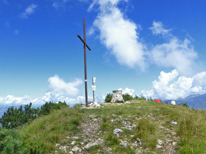
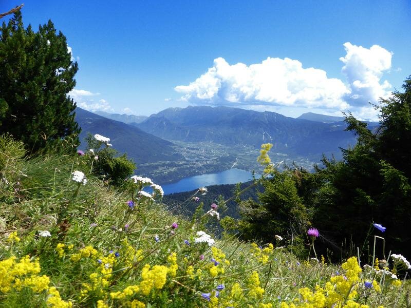
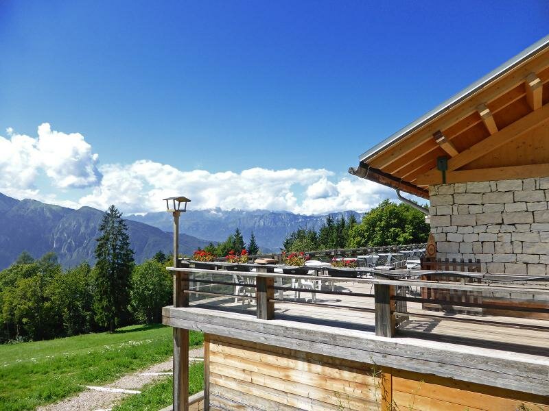
We continue to climb along path no. 411 across dense broadleaved forests until the landscape becomes rocky. On the ridge, the watershed between the Adige and Brenta rivers, we head towards the main peak of La Marzola with its summit cross, enjoying a stunning panoramic view of Lake Caldonazzo. We proceed southwards across high alpine meadows until we reach Cima Marzola Sud, the southern peak. From here, we descend to Bivacco Bailon along path no. 412. After the hut the itinerary descends in a series of switchbacks to rifugio Maranza, our starting point.
Date of the hike: 4 August 2014
Last updated in: 2026
Author: AT
-
- Starting point:
- Trento, Rifugio Maranza parking space (1,070 m asl)
-
- Overall time:
- 03:50 h
-
- Total route length:
- 10,0 km
-
- Altitude:
- from 1.092 m to 1.702 m
-
- Altitude difference (uphill | downhill):
- +652 m | -652 m
-
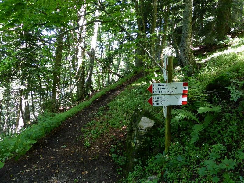
- Route:
- Rif. Maranza - Stoi de Chegul - Doss dei Corvi - Cima Marzola Nord - Sella Marzola - Cima Marzola Sud - Bivacco Marzola - Rif. Marzola di Vigolo Vattaro - Rif. Maranza
-
- Signposts:
- 426, 411, 412
-
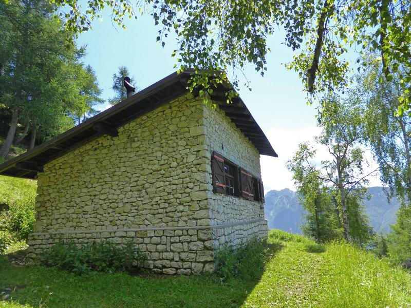
- Resting points:
- Rif. Maranza
-
- Recommended time of year:
- Jan Feb Mar Apr May Jun Jul Aug Sep Oct Nov Dec
-
- Download GPX track:
- Hike from the Rifugio Maranza to the Cima La Marzola
If you want to undertake this hike, we recommend checking the weather and trail conditions in advance and on site before starting this hike!