Discover history on a trail through the forests and malghe of Folgaria
Image gallery: Hike to Forte Dosso delle Somme and Passo Coe
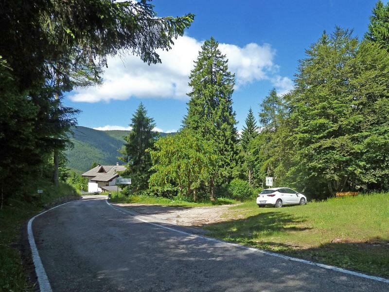
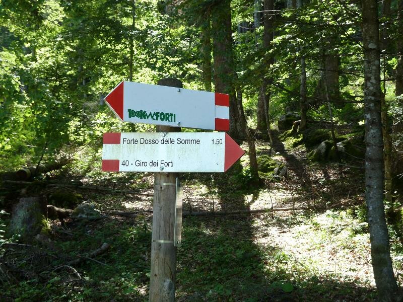
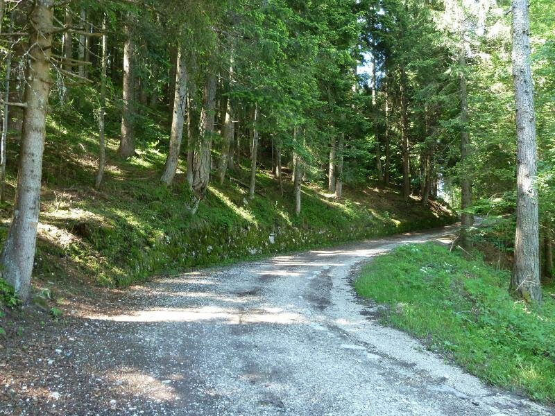
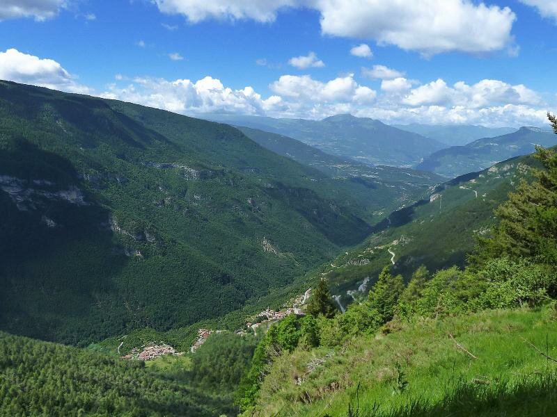
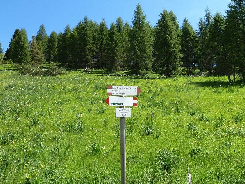
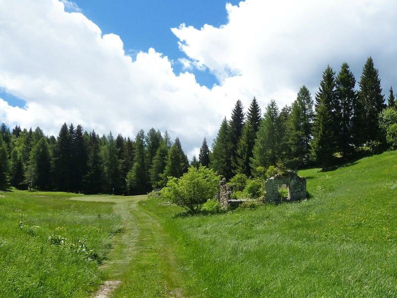
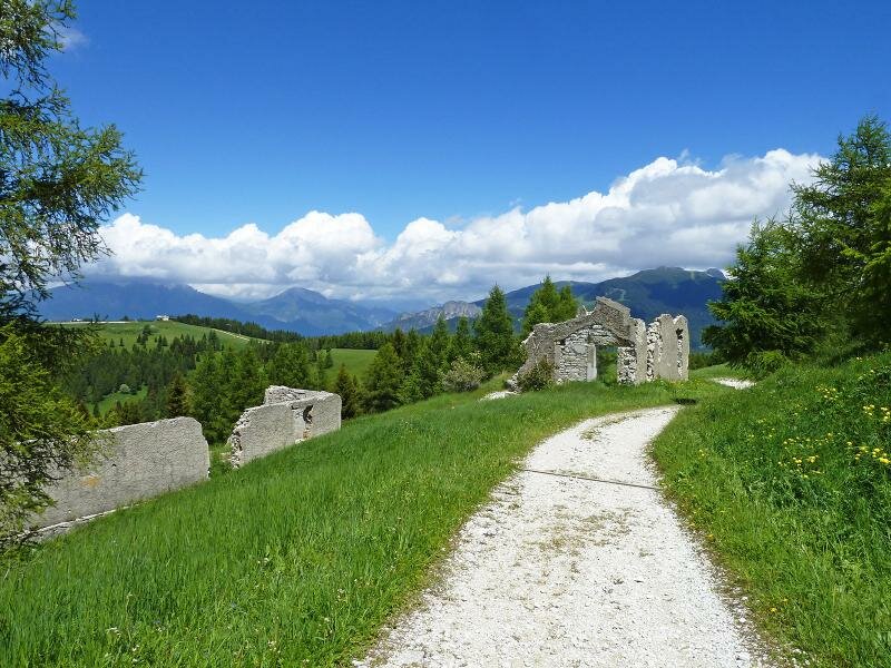
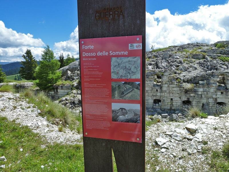
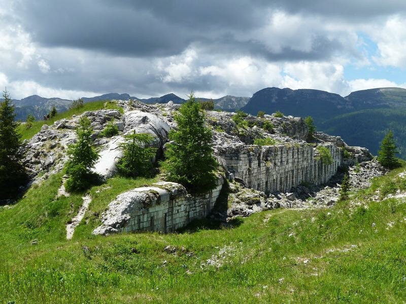
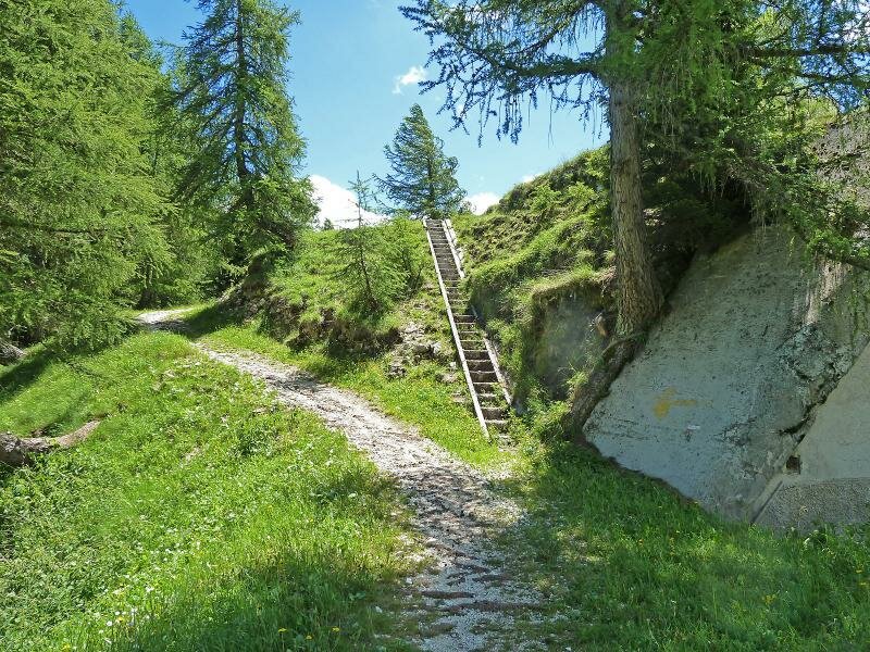
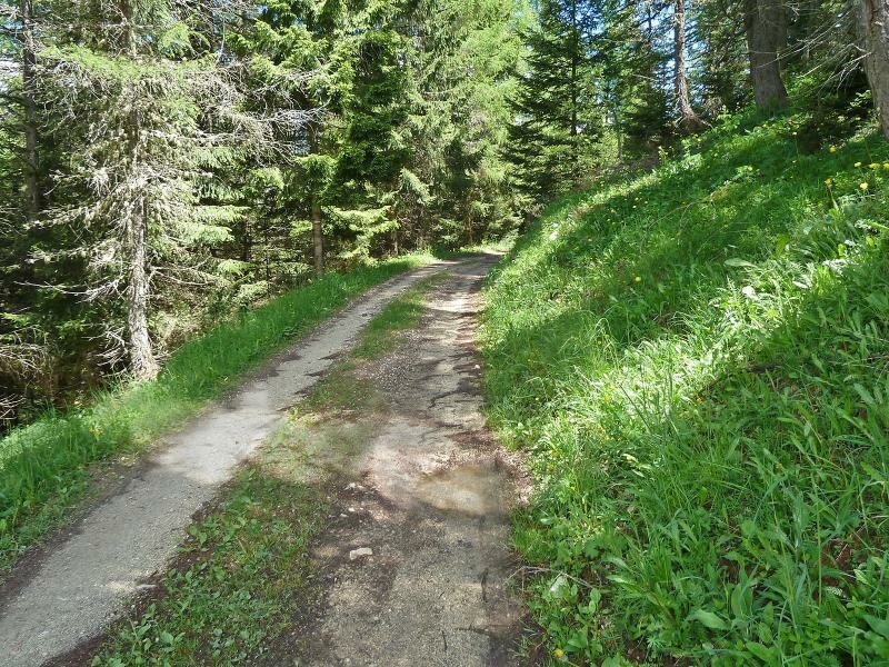
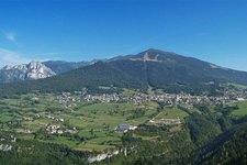
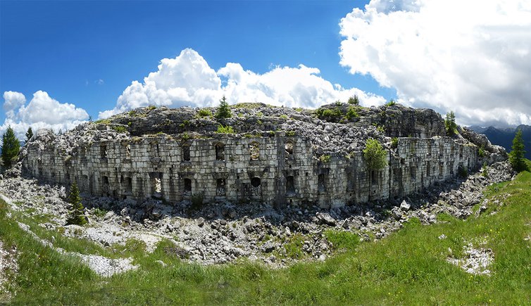
Roccolo is a small locality near the village of Serrada, on the Altopiano di Folgaria. The forest road of the "Giro dei Forti" (path no. 40) towards Forte Dosso delle Somme starts at a small car park. We walk slightly uphill through the forest alongside the Val Terragnolo. After a 45-minute walk, we reach the remains of the Caserme di Piatastai, where several hairpin bends lead up to Forte Dosso delle Somme at 1,670 m a.s.l. Built by the Austro-Hungarian army, it was initially named "Werk Serrada" and was the most important and modern fortress of the entire high plateau. The strategic position of this building overlooking the surrounding valleys was chosen definitely on purpose during the Great War.
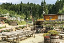
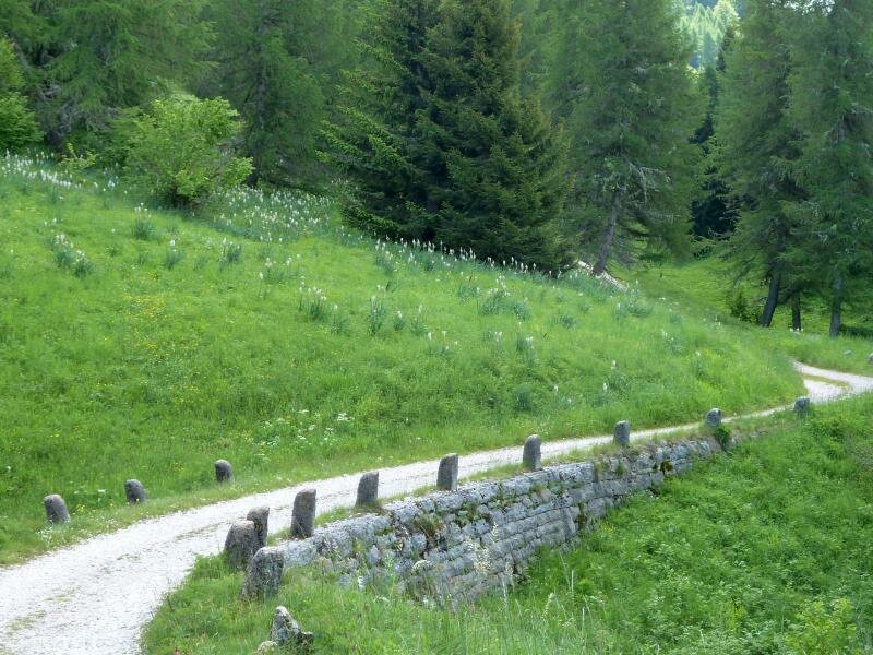
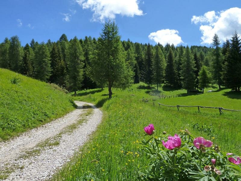
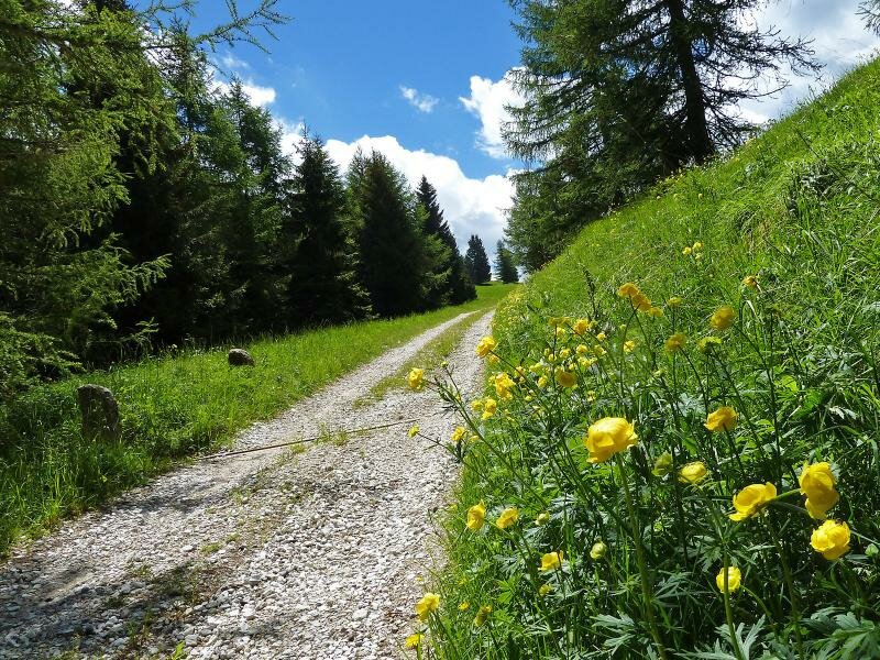
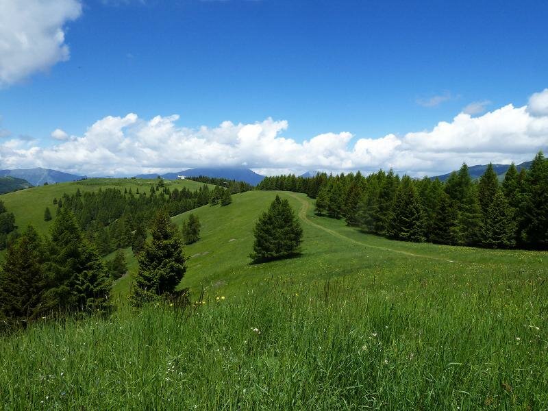
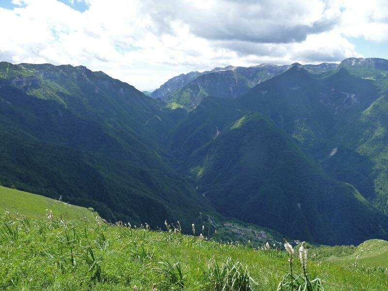
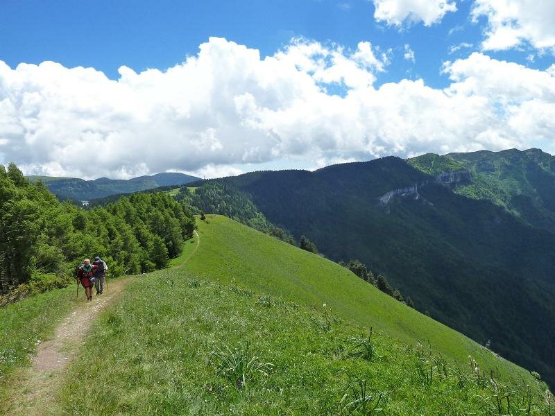
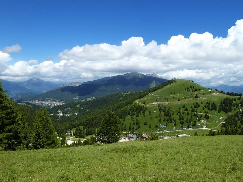
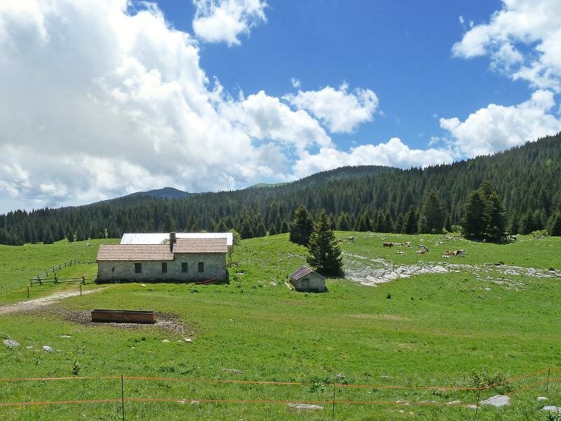
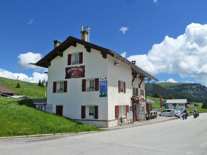
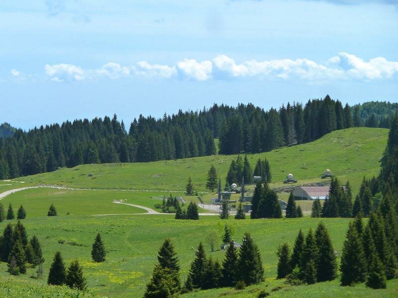
We continue slightly downhill towards Passo Coe, crossing the meadows of Cargadore. Near Malga Coe, the path meets the Strada Provinciale di Francolini. From the pass it is only a few hundred metre walk along the Strada Provinciale to the Osteria Coe, a restaurant where we stop for our lunch break. Two places of commemoration are only a stone's throw from the restaurant: Malga Zonta, tragically known as the site where partisans and civilians were killed by Nazis at the end of the World War 2, and the former Base Tuono, a NATO missile base in use during the Cold War. In certain periods of the year, it is possible to visit the base's museum. Nature, the stunning landscape, and the historically important facts from the previous century contribute to the uniqueness of this hike. We return along the same path.
Date of the hike: 17 June 2026
Last updated in: 2026
Author: AT
-
- Starting point:
- Folgaria, Roccolo near Serrada
-
- Overall time:
- 04:50 h
-
- Total route length:
- 16,7 km
-
- Altitude:
- from 1.287 m to 1.655 m
-
- Altitude difference (uphill | downhill):
- +484 m | -484 m
-
- Signposts:
- Giro dei Forti (40), 136, Passo Coe
-
- Destination:
- Passo Coe
-
- Resting points:
- Osteria Coe, La Stua
-
- Recommended time of year:
- Jan Feb Mar Apr May Jun Jul Aug Sep Oct Nov Dec
-
- Download GPX track:
- Hike to Forte Dosso delle Somme and Passo Coe
If you want to undertake this hike, we recommend checking the weather and trail conditions in advance and on site before starting this hike!