Cima Vezzena, also known as Piz di Levico, is a 1,908-m high, easily accessible mountain which delights everyone with amazing panoramic views of the Valsugana
Image gallery: Mountain tour to Mt Piz de Levico
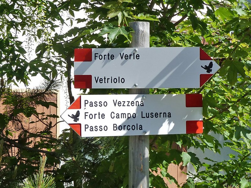
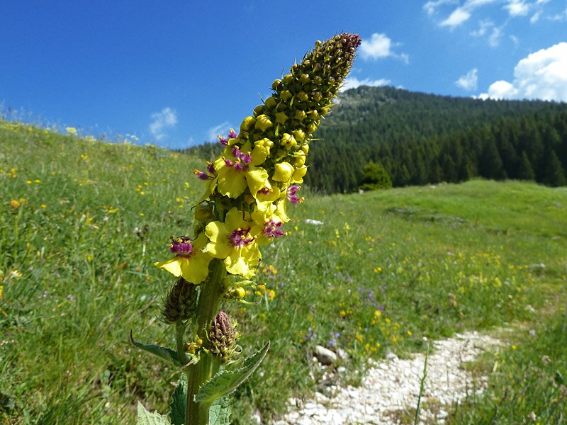
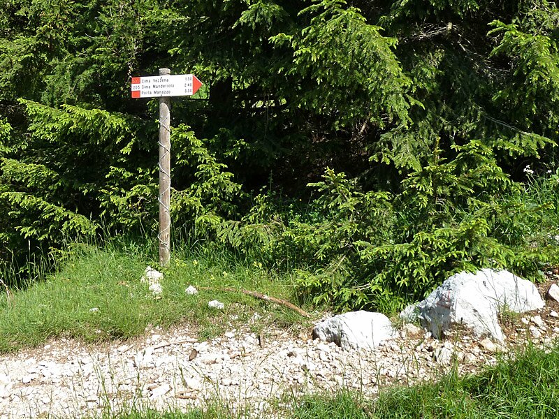
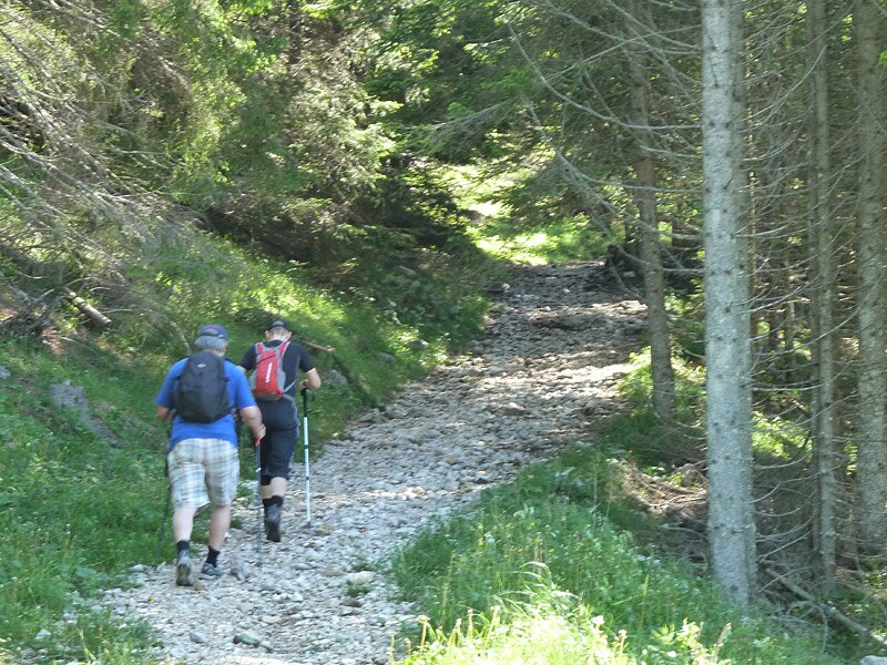
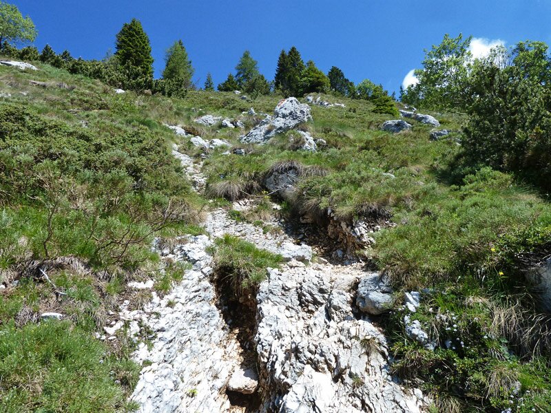
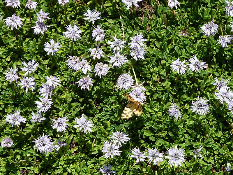
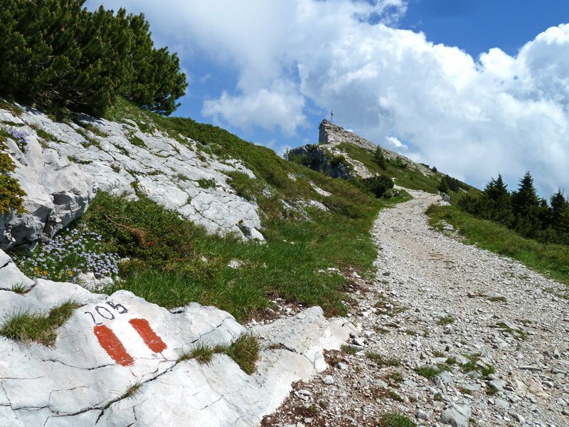
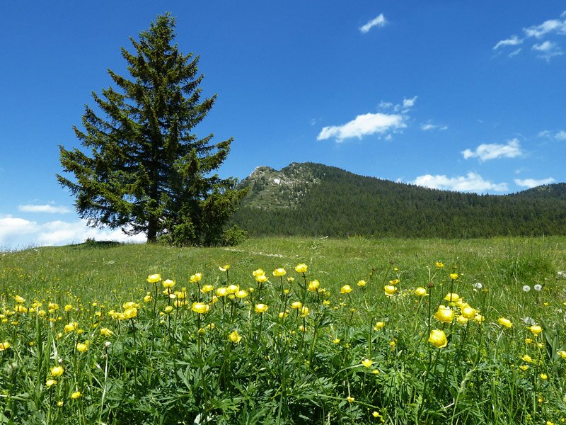
Our starting point is the Passo Vezzena (1,402 m a.s.l.) along the road from Lavarone and Lusern to Asiago. At the car park we follow the signposts to "Forte Verle" and "Cima Vezzena". After less than 1 km we leave the asphalt path and follow the parallel path across the meadows which turn into a stunning colourful carpet of blooming alpine herbs in summer. The path leads past the former Austro-Hungarian Busa Verle fortress. We continue hiking across the meadows until we reach the forest surrounding Cima Vezzena, where the steepest section of the ascent begins. In the shade of the forest, we walk slowly uphill from an initial altitude of 1,600 m a.s.l. to the forest limit. At about 1,850 m a.s.l. the path merges into an Austro-Hungarian military road leading uphill towards the peak.
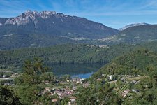
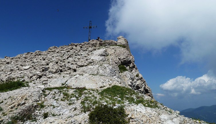
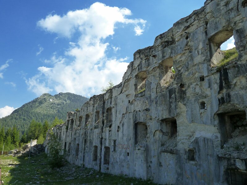
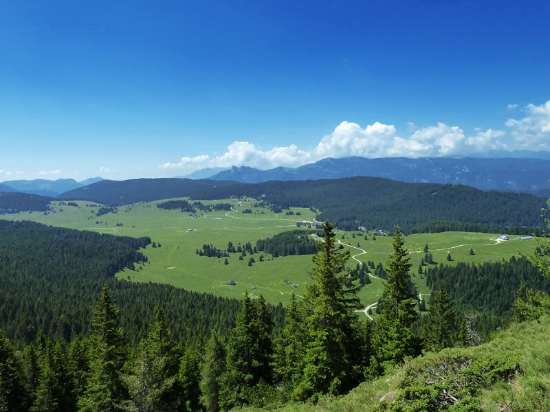
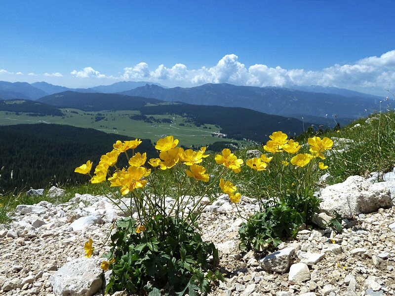
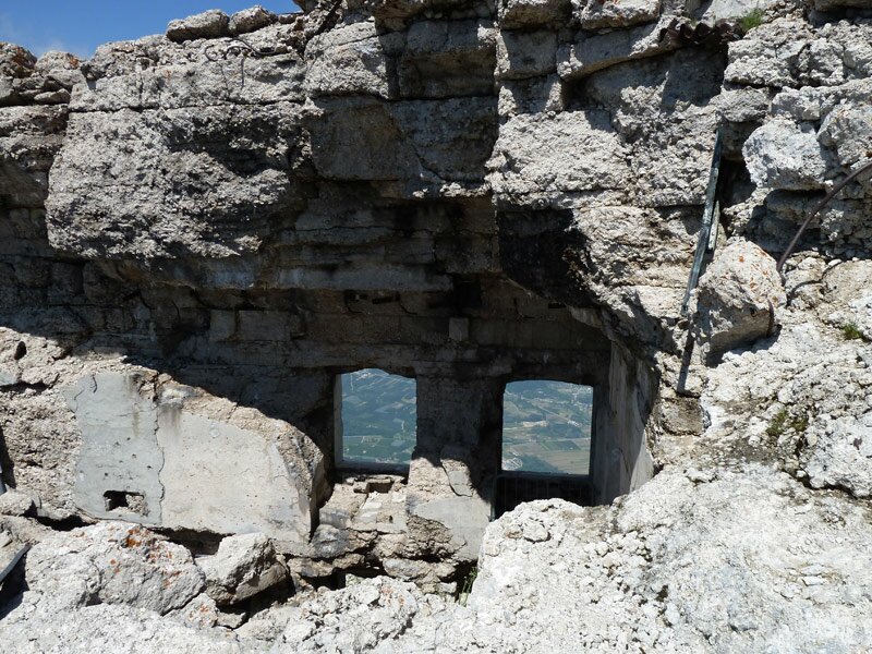
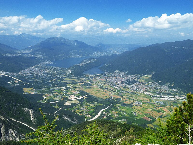
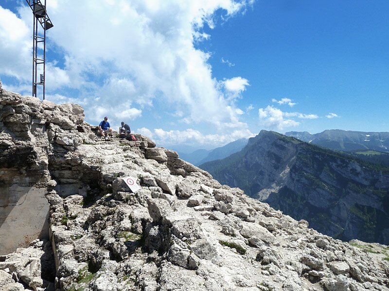
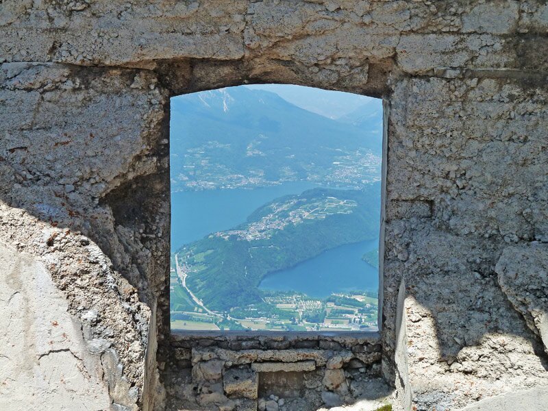
We continue uphill to the cross of Cima Vezzena and realise that we are actually walking on the concrete remains of the former Austro-Hungarian fortress of Cima Vezzena. The colour of the concrete that surrounds the old fortress, which had been completely destroyed during the Great War, is almost identical to that of the natural rocks. The panoramic view is spectacular even on cloudy days: it extends from the Brenta Dolomites to the Lagorai mountain group, from the peaks of the Vigolana and Marzola (with the lakes of Caldonazzo and Levico) to the Manderiolo and Ortigara, from Monte Verena and Pasubio to Monte Baldo
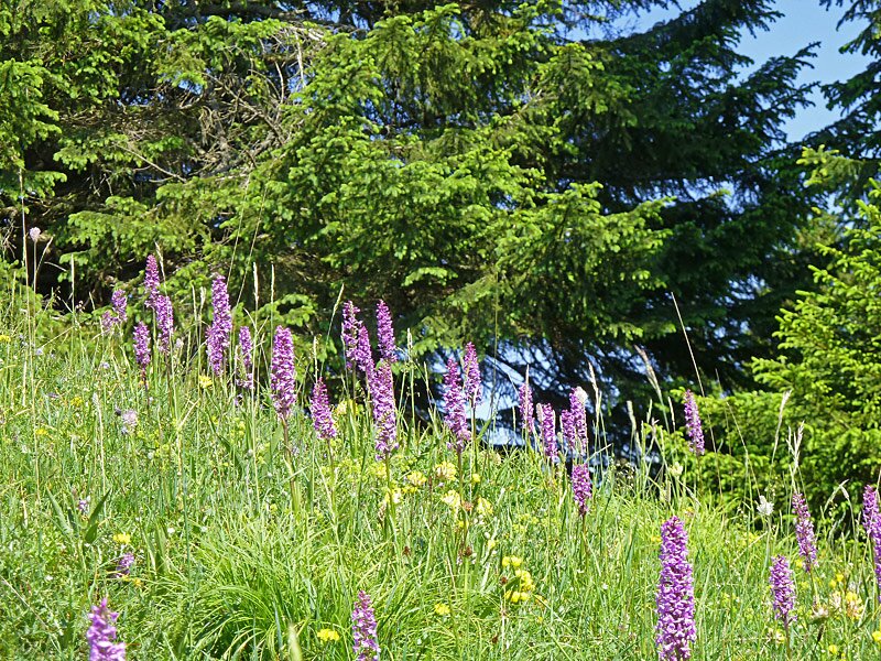
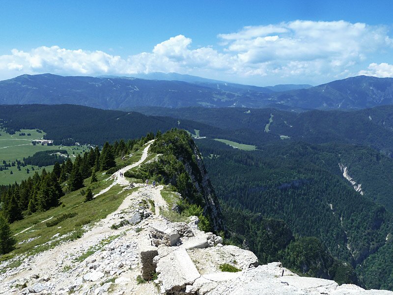
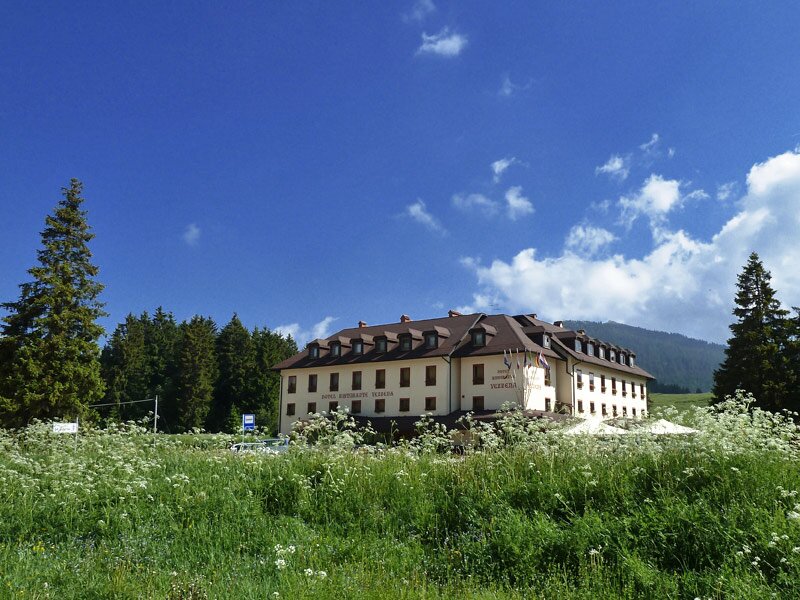
We descend along the old military road which is about 1 km longer but easier than the ascent. We reach the blooming alpine meadows of Vezzena and end our hike at the restaurant on the mountain pass.
Date of the hike: 21 June 2013
Last updated in: 2026
Author: AT
-
- Starting point:
- Passo di Vezzena (1,402 m asl)
-
- Overall time:
- 03:25 h
-
- Total route length:
- 9,8 km
-
- Altitude:
- from 1.414 m to 1.867 m
-
- Altitude difference (uphill | downhill):
- +512 m | -512 m
-
- Route:
- Passo Vezzena - Busa Verle Fortress - Verle Fortress - Mt Cima Vezzena (Piz di Levico)
-
- Signposts:
- SAT 205
-
- Resting points:
- Malga Cima Verle, Baita al Verle
-
- Download GPX track:
- Mountain tour to Mt Piz de Levico
If you want to undertake this hike, we recommend checking the weather and trail conditions in advance and on site before starting this hike!