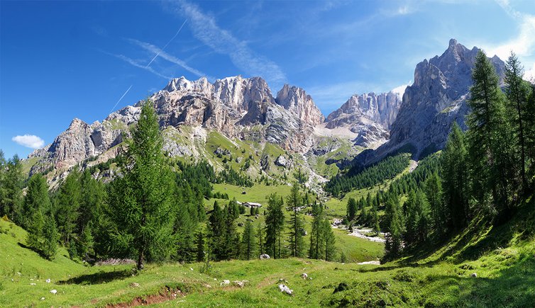
This circular hike at the foot of the Marmolada leads through the Valle Contrin to Passo San Nicolò along the panoramic route “Lino Pederiva” to the alpine meadows of Ciampac
Image gallery: Circular walk from Contrin to Ciampac
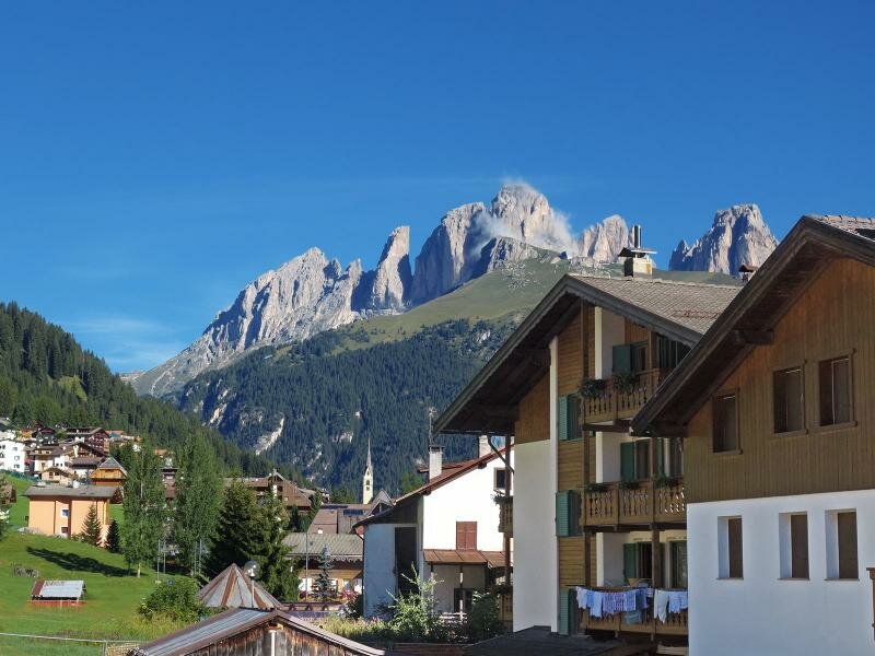
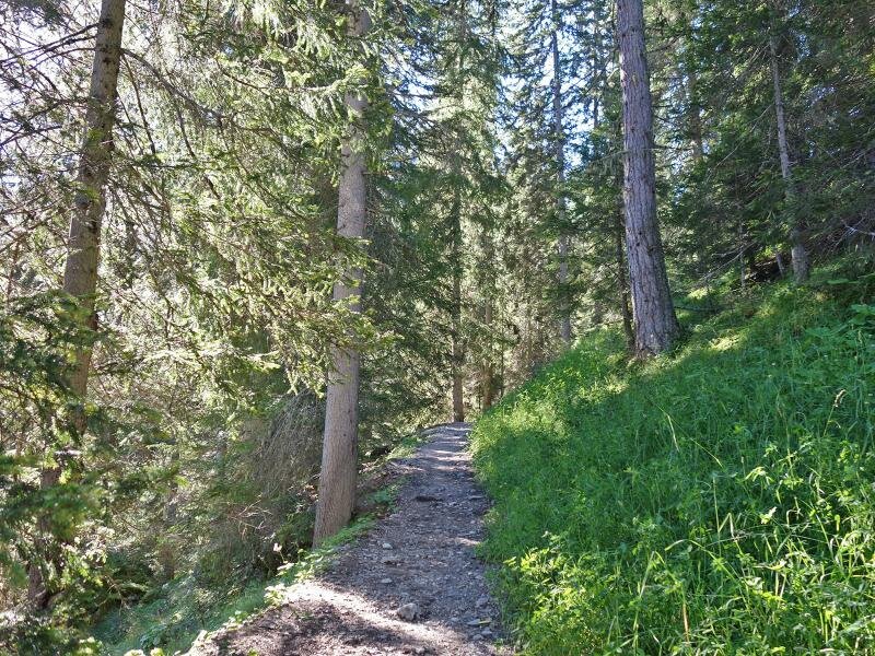
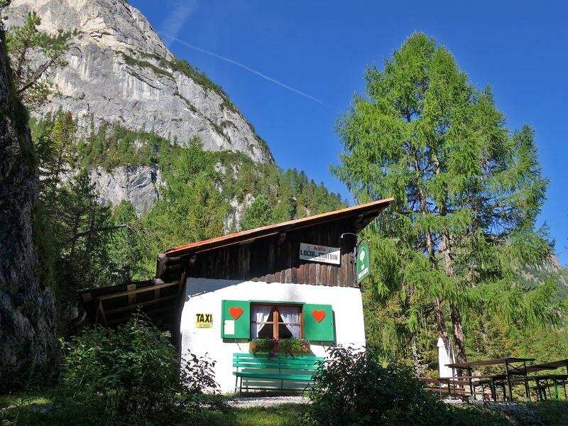
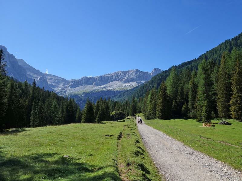
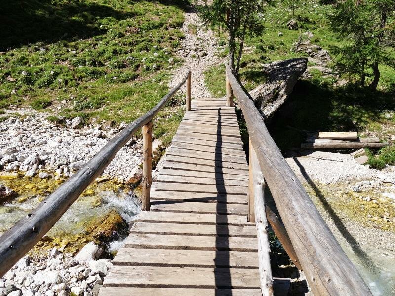
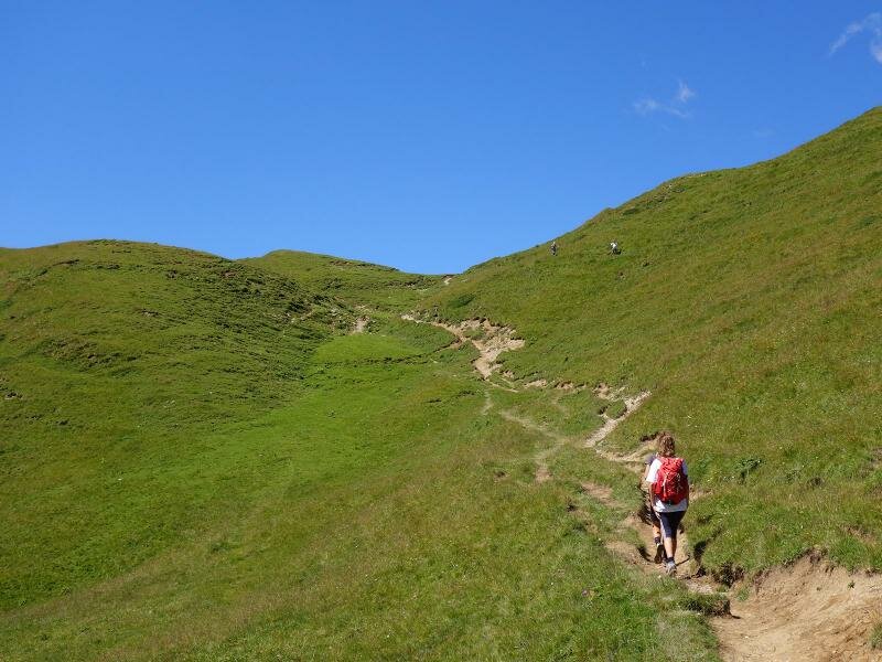

From the car park at the valley station of the Ciampac cable car in Alba di Canazei, we take path no. 602 towards "Contrin". The path initially winds through the forest and immediately after the hut baita "Locia de Contrin" we proceed through the Val Contrin, passing the baita Cianci hut, to the well-known Malga Contrin (2,020 m a.s.l., a 90 minutes walk from the starting point).
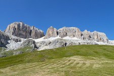
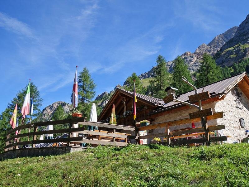
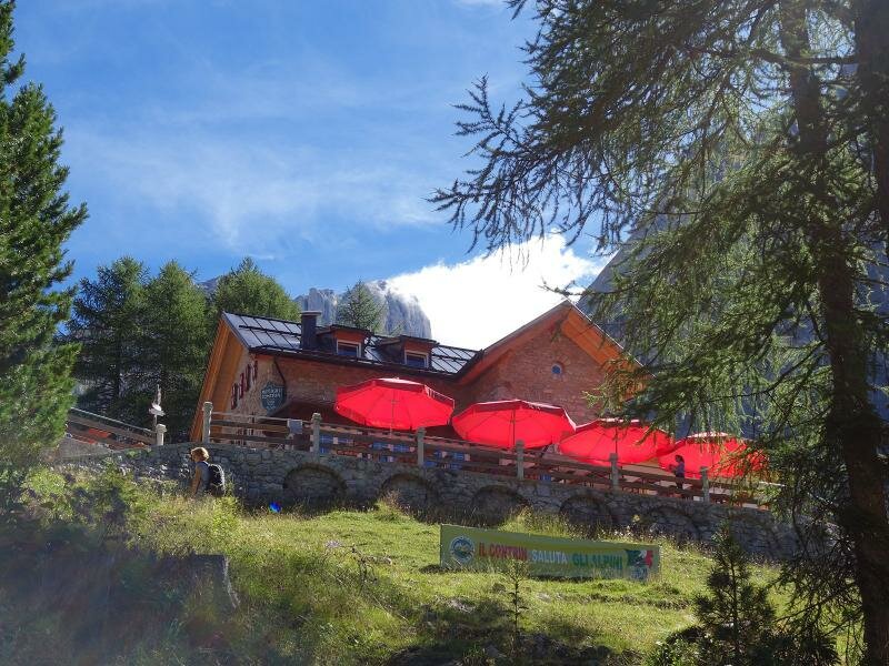
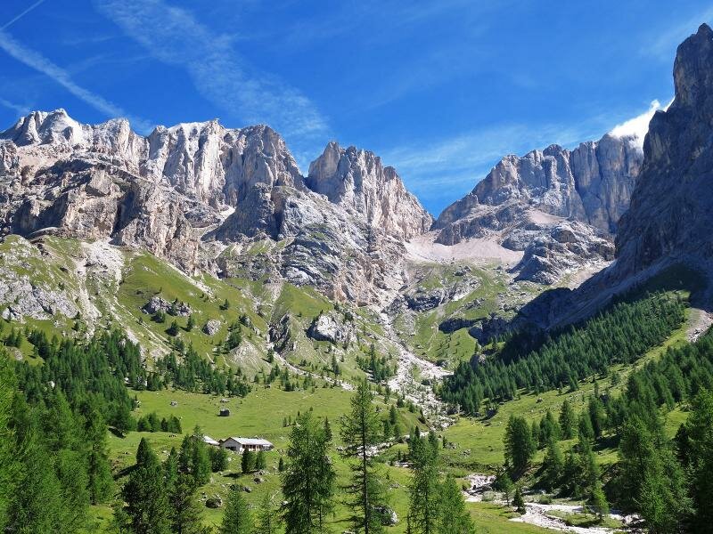
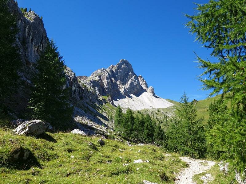
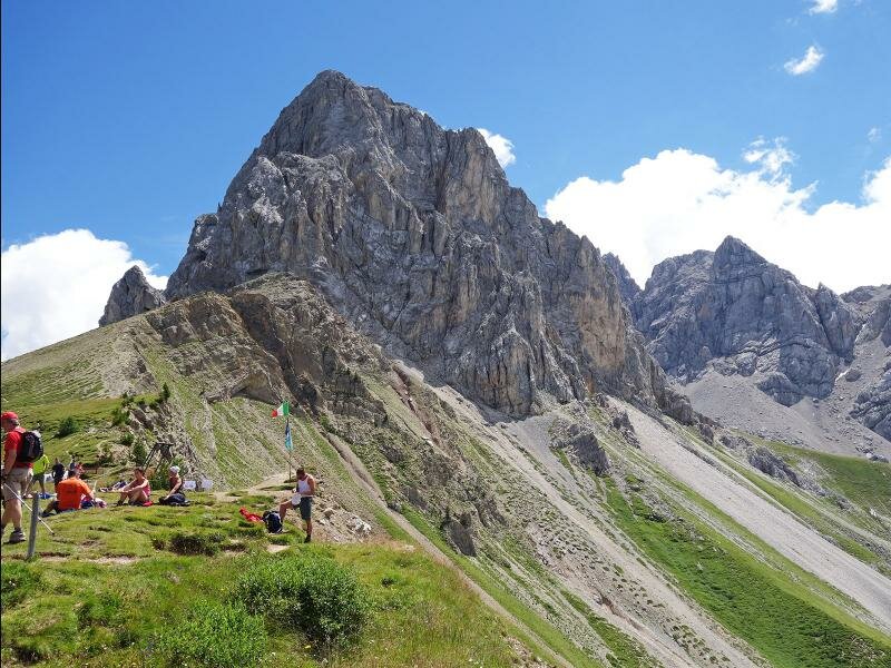
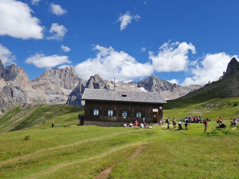
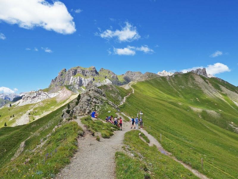
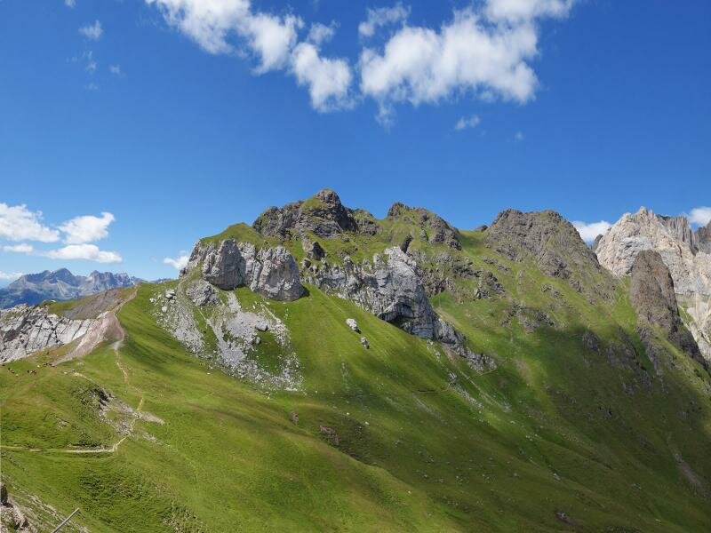
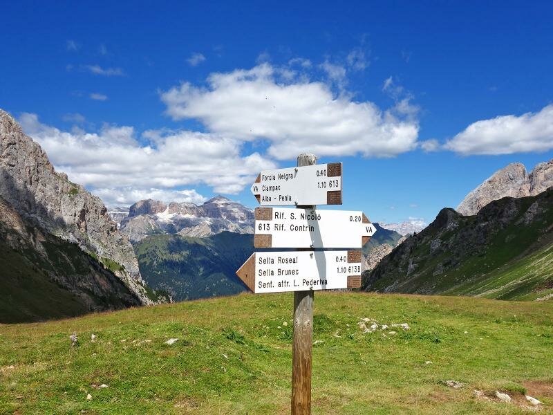
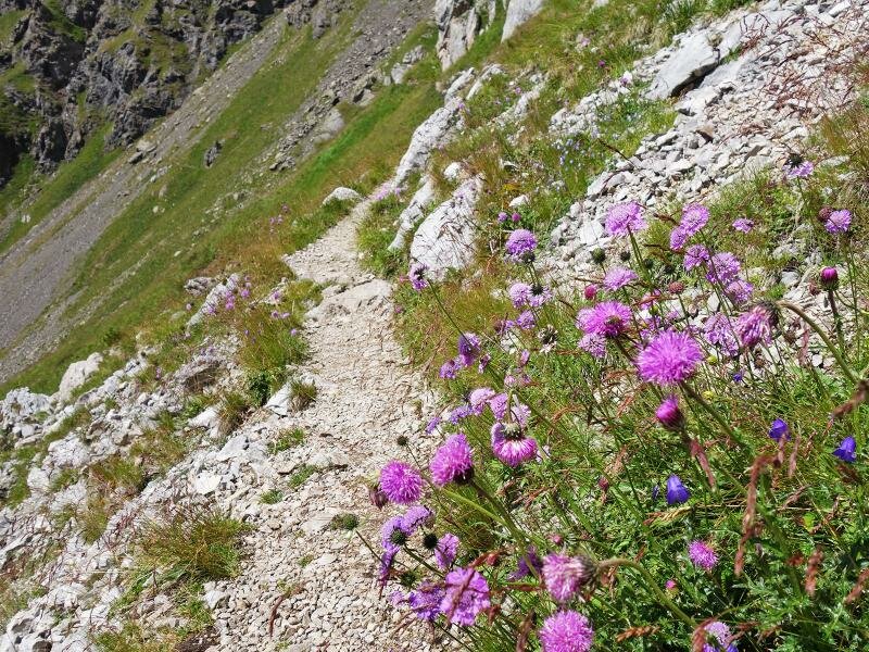
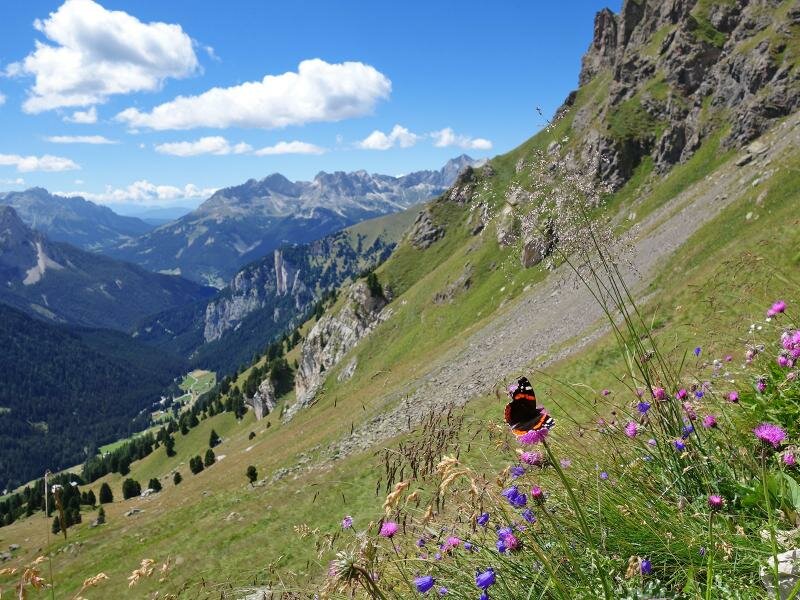
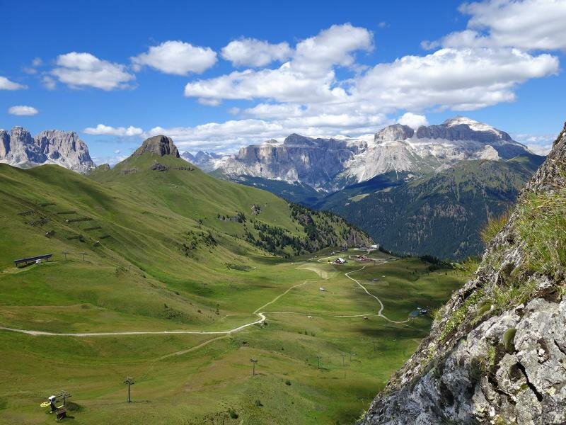
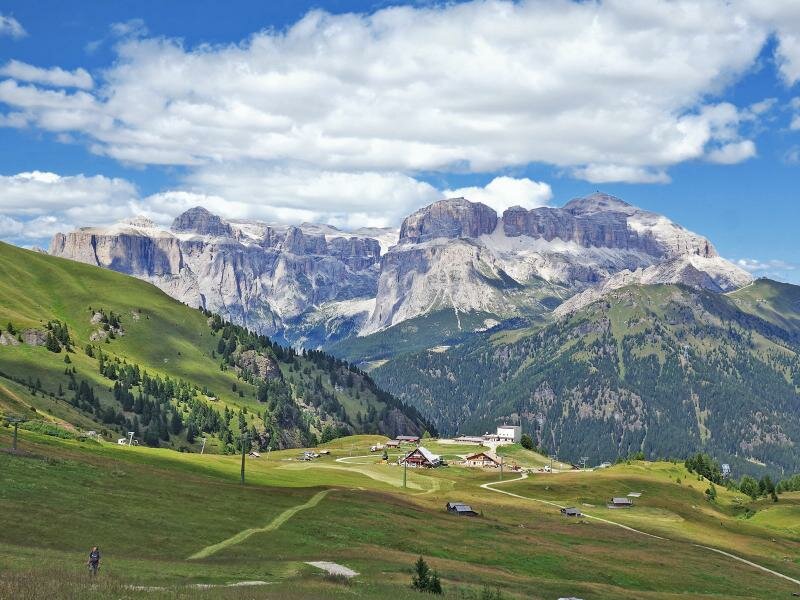
We continue on the steep slope on path no. 608 towards Passo San Nicolò. As we gain height, we have an impressive view of the surrounding Dolomites, to the Sassolungo and especially of the Marmolada summits, including Piccolo Vernel, Gran Vernel, Penia and the punte Ombretta. We can even spot Col Ombert (with its pyramid shape) in the area below Rifugio Passo San Nicolò (2,348 m a.s.l.). After a well-deserved lunch break, we enjoy the panoramic view of the Val San Nicolò, stretching to the Catinaccio and the Latemar on one side and on the Val Contrin with theSella and the Gruppo della Marmolada on the other side.
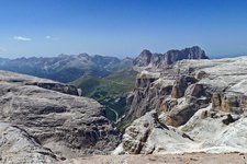
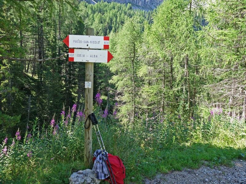
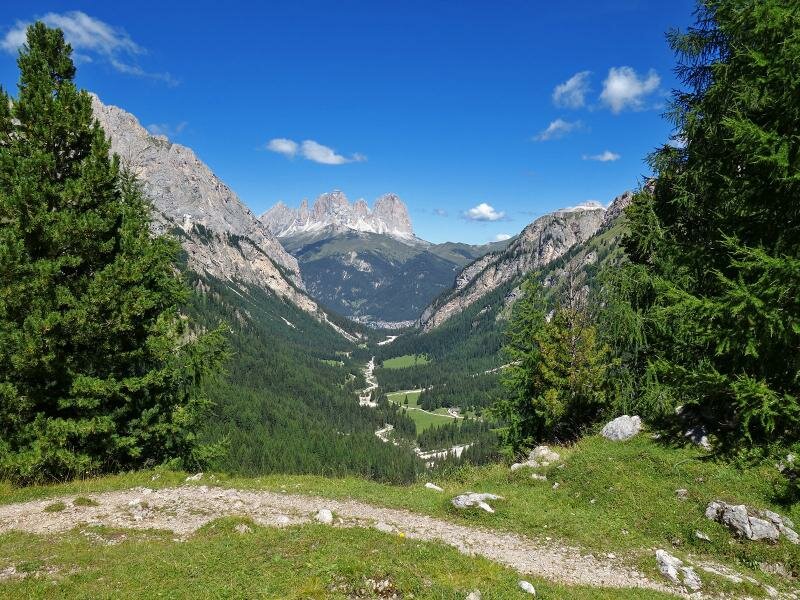
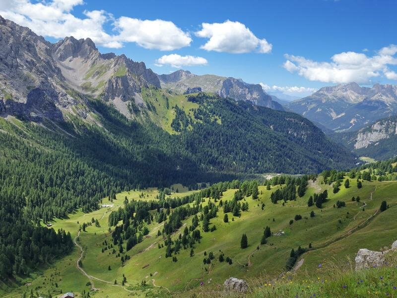
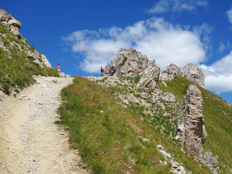
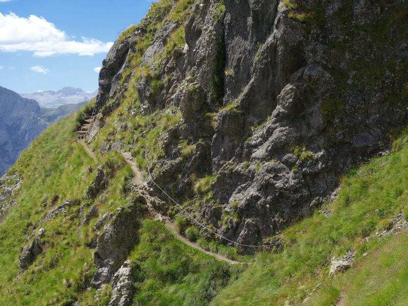
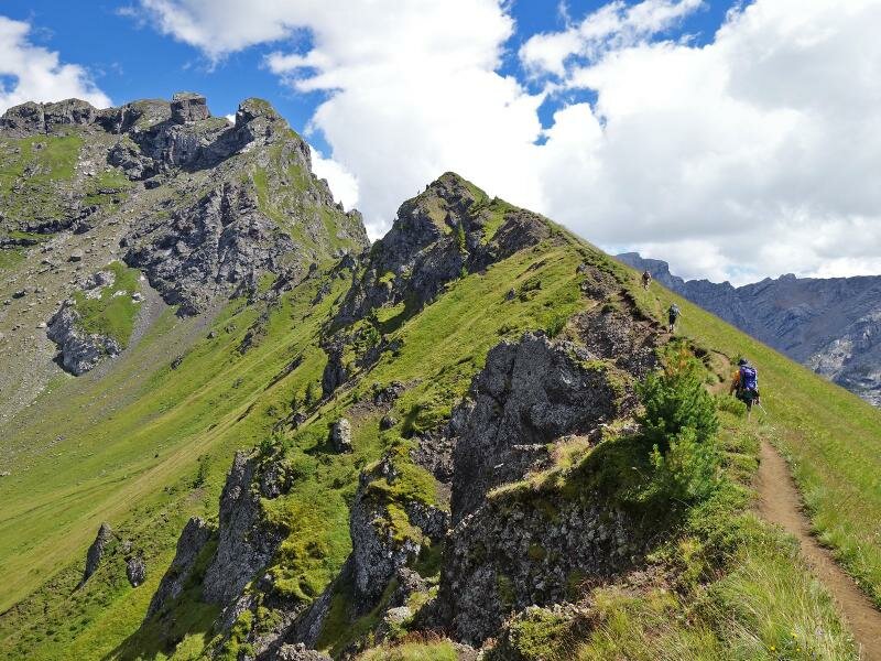
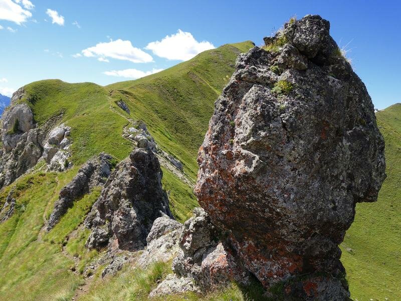
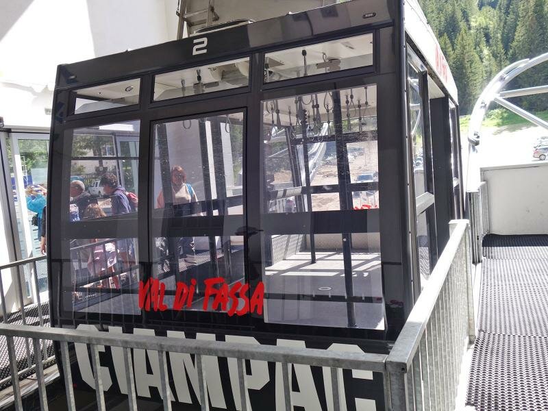
The next section of the path is more challenging but offers impressive views. The "Sentiero attrezzato Lino Pederiva" (path no. 613) is a panoramic trail above the Val San Nicolò, leading to the Rocce del Varos, then southwards to the rock faces Sass Bianch, Sass de Roces and Roseal. Before reaching Sella di Brunech, we descend through the Valle di Ciampac. Before the descent, we have to pass a final, narrow and slippery section of the Lino Pederiva trail along the ridge. From Ciampac, we return to Alba by cable car.
Author: AT
-
- Starting point:
- Alba di Canazei
-
- Overall time:
- 05:00 h
-
- Total route length:
- 12,8 km
-
- Altitude:
- from 1.491 m to 2.464 m
-
- Altitude difference (uphill | downhill):
- +1023 m | -369 m
-
- Route:
- Alba di Canazei - Rifugio Contrin - Rifugio Passo di San Nicolò - Sas Bianch de Roseal - Rifugio Tobià del Giagher
-
- Signposts:
- 602, 608, 613, 613B
-
- Destination:
- Ciampac cable car mountain station
-
- Resting points:
- Rifugio Contrin mountain hut, Rifugio Passo di San Nicolò mountain hut, Rifugio Tobià del Giagher mountain hut
-
- Recommended time of year:
- Jan Feb Mar Apr May Jun Jul Aug Sep Oct Nov Dec
-
- Download GPX track:
- Circular walk from Contrin to Ciampac
If you want to undertake this hike, we recommend checking the weather and trail conditions in advance and on site before starting this hike!