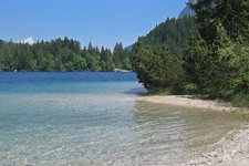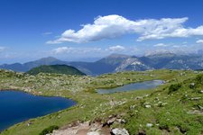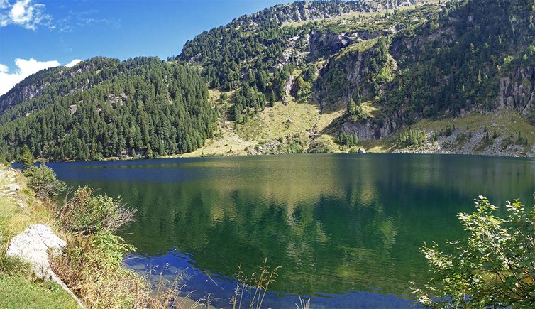
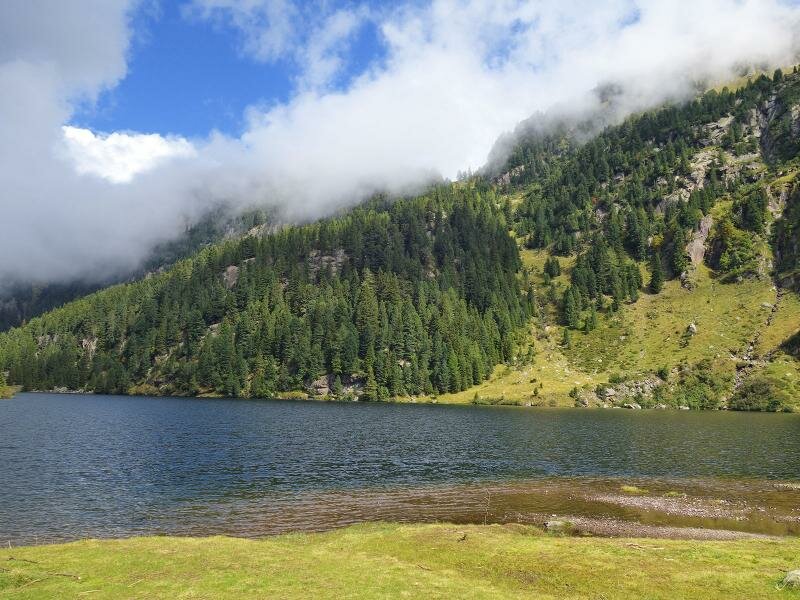
Lago Lagorai is the largest lake of the catena del Lagorai. We describe one of the easiest routes to this stunning place
Image gallery: Hike to Lago Lagorai
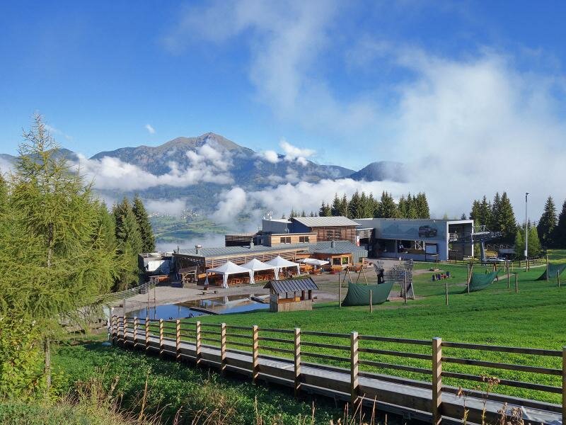
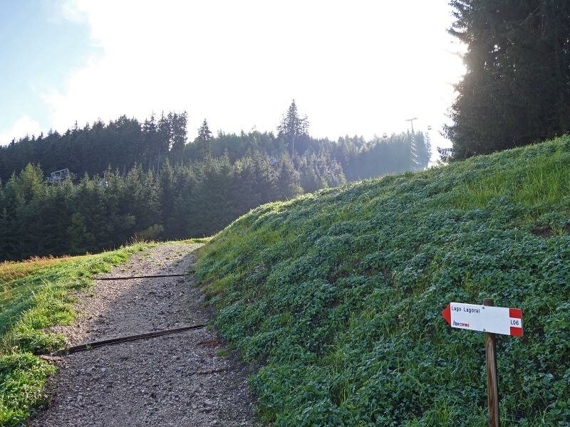
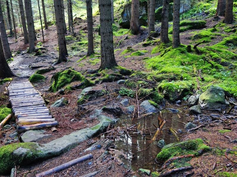
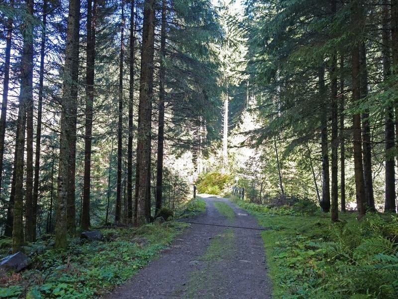
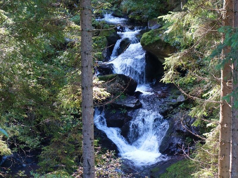
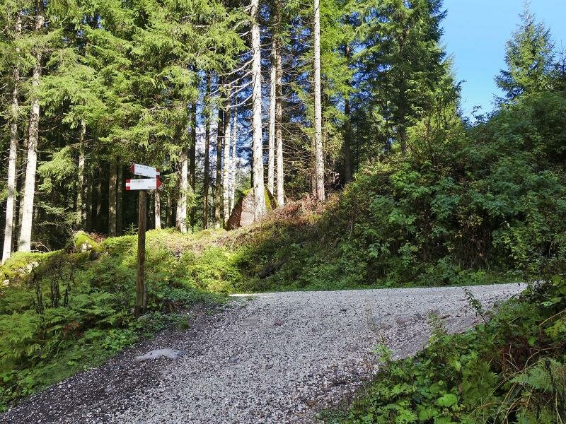
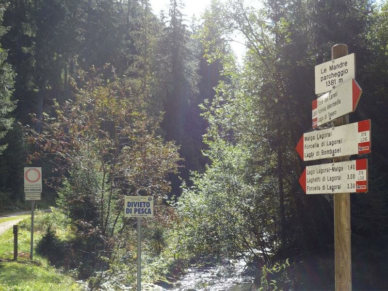
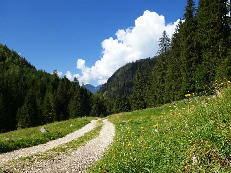
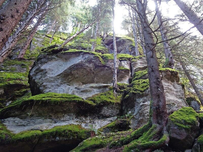
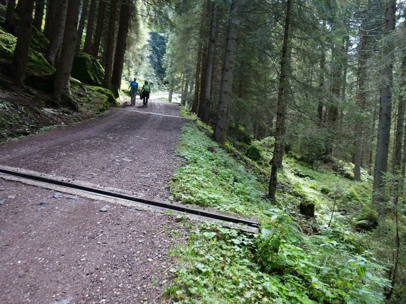
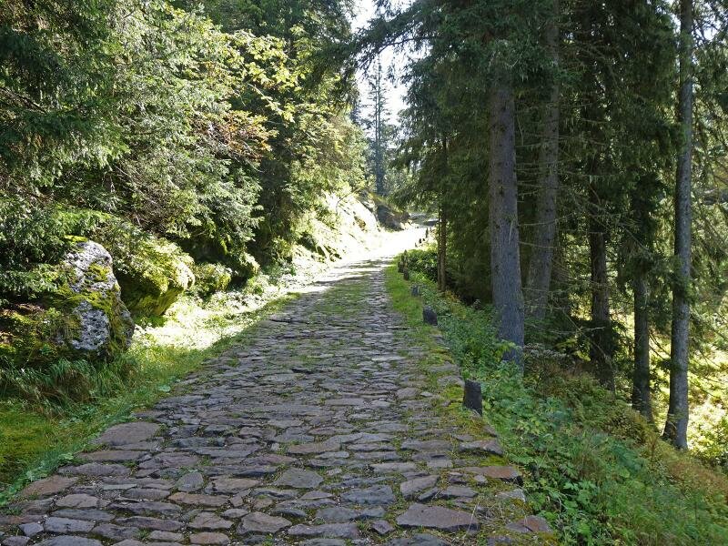
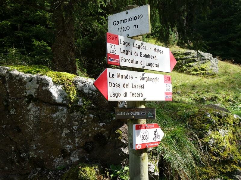
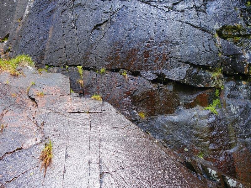
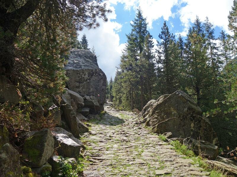
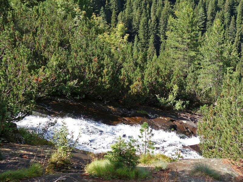
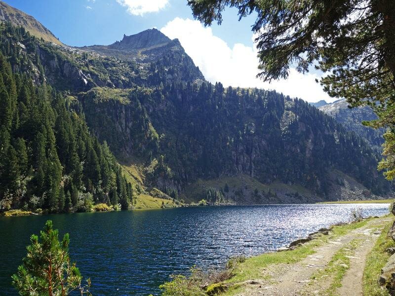
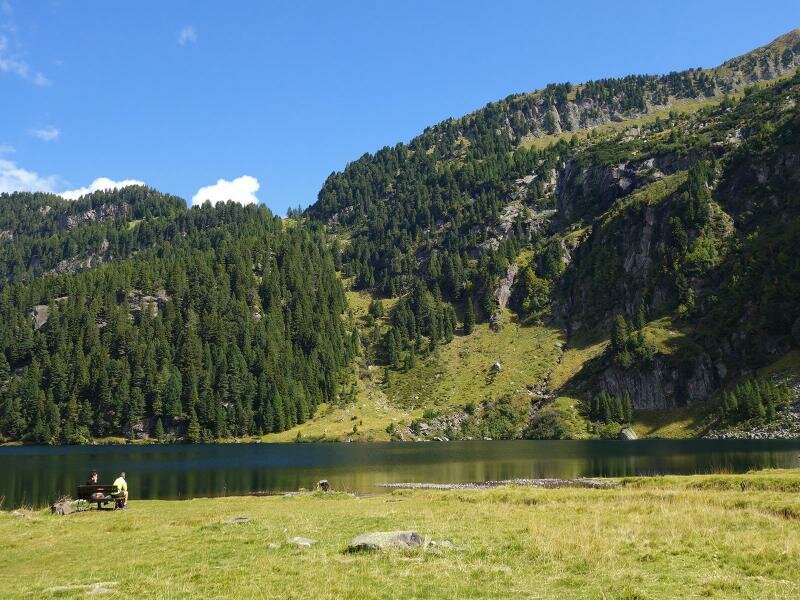
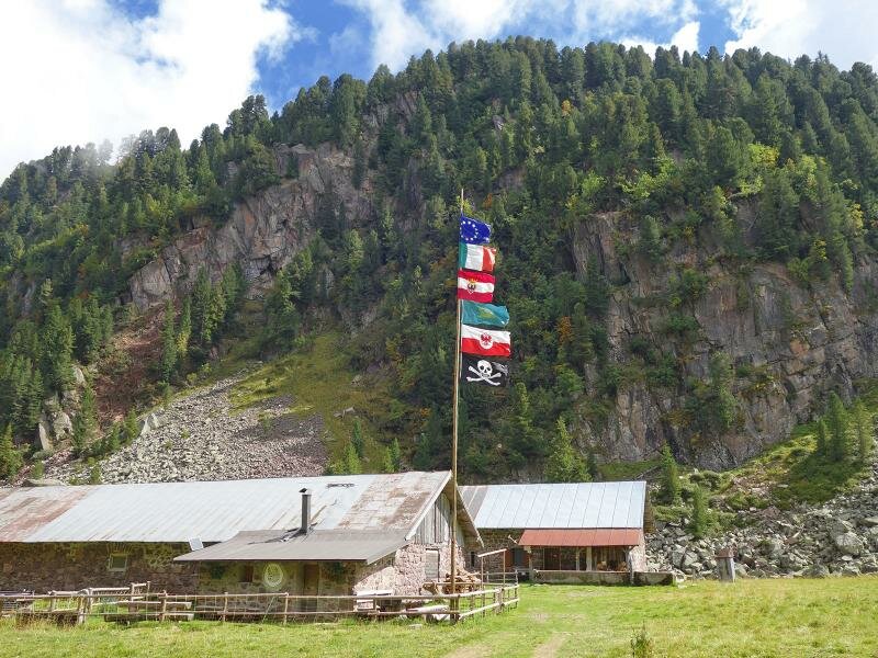
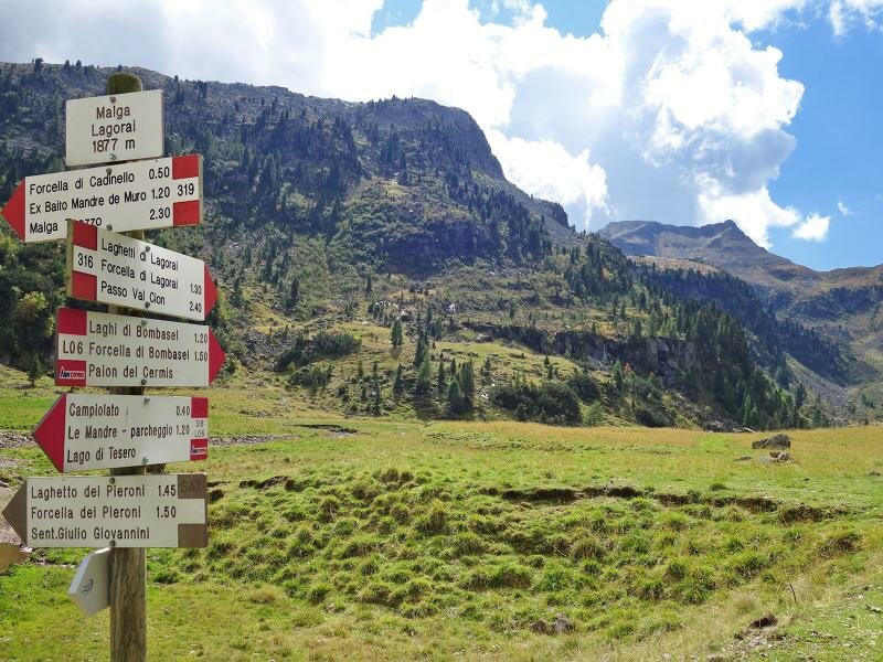
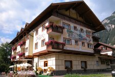
The Doss dei Laresi is easily reachable by cable car from Cavalese or from the end of the Val di Fiemme, or by car. Our starting point is the mountain hut at 1,250 a.s.l. Path no. L06 enters a dense wood and after an initial climb, descends to Val Lagorai where it meets path no. 316, a forest road running through the valley.
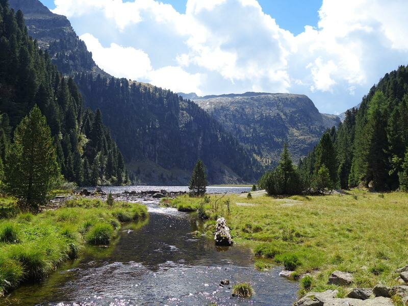
The ascent is gentle at first but becomes steeper as we proceed. The porphyry paving on the final kilometre of the road is typical of old military roads, but can be uncomfortable to walk on, especially if your legs are tired. All our efforts are rewarded by the high plateau where the lake is situated. We continue along the road flanking the lake on the Western side, allowing us to admire it from different angles. Arrived at a meadow, we stop for our picnic on a bench.
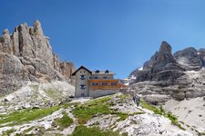
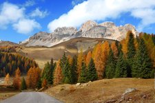
The typical wild and untouched landscape of the Gruppo del Lagorai is very suggestive. We return to the valley on the same path. Alternatively, you can climb to the laghi di Bombasel and the mountain station of the Cermis chairlift.
Please note: Path no. L06 connecting the Doss dei Laresi intermediate station to the Val Lagorai road is currently closed.
To reach Lago Lagorai, you can take the cable car to the Paion del Germis mountain station and continue towards the Bombasèl Lakes and the nearby Forcella del Macaco. From there, you descend to the Val Lagorai and the eponymous lake (05.50 hours of total walking time, 16.8 km, +950 m ascent and -950 m descent).
Author: AT
-
- Notice:
- The route is not passable
-
- Starting point:
- Doss dei Laresi (intermediate station of the Alpe Cermis Cable Car)
-
- Overall time:
- 05:00 h
-
- Total route length:
- 13,5 km
-
- Altitude:
- from 1.238 m to 1.872 m
-
- Altitude difference (uphill | downhill):
- +959 m | -959 m
-
- Route:
- Doss dei Laresi - junction Val Lagorai - Le Mandre - Lake Lagorai
-
- Signposts:
- L06 (currently not accessible), 316
-
- Destination:
- Lake Lagorai
-
- Recommended time of year:
- Jan Feb Mar Apr May Jun Jul Aug Sep Oct Nov Dec
-
- Download GPX track:
- Hike to Lago Lagorai
If you want to undertake this hike, we recommend checking the weather and trail conditions in advance and on site before starting this hike!