This wonderful walking tour leads us from Carbonare di Folgaria across the woods to the military signal station on Monte Rust and to the beautiful Lago di Lavarone
Image gallery: Hike to the Monte Rust and Lake Lavarone
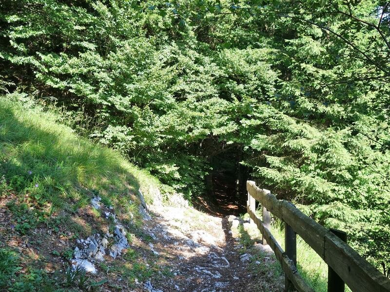
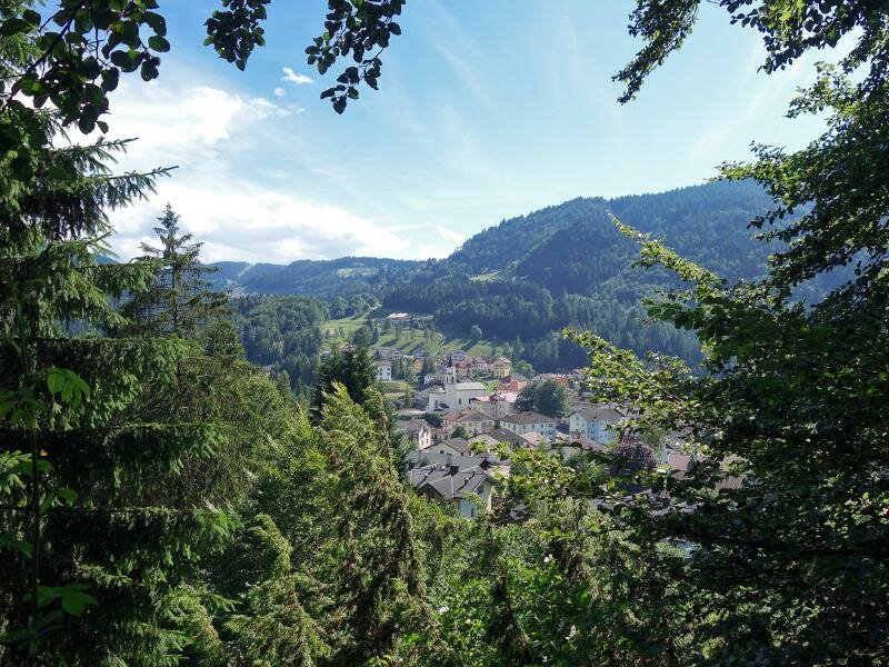
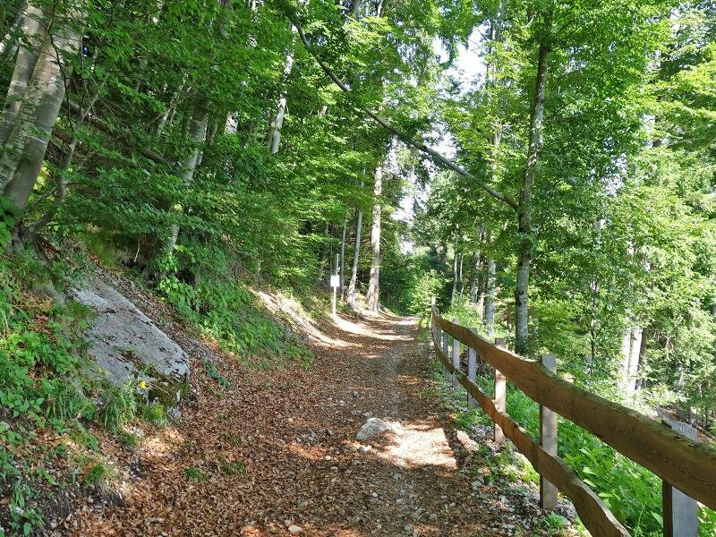
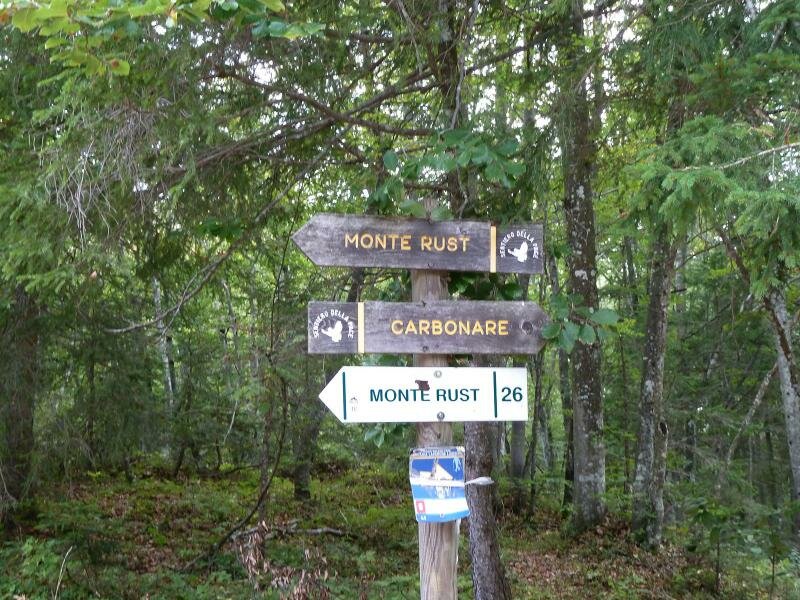
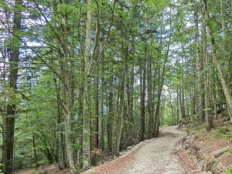
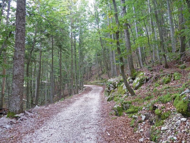
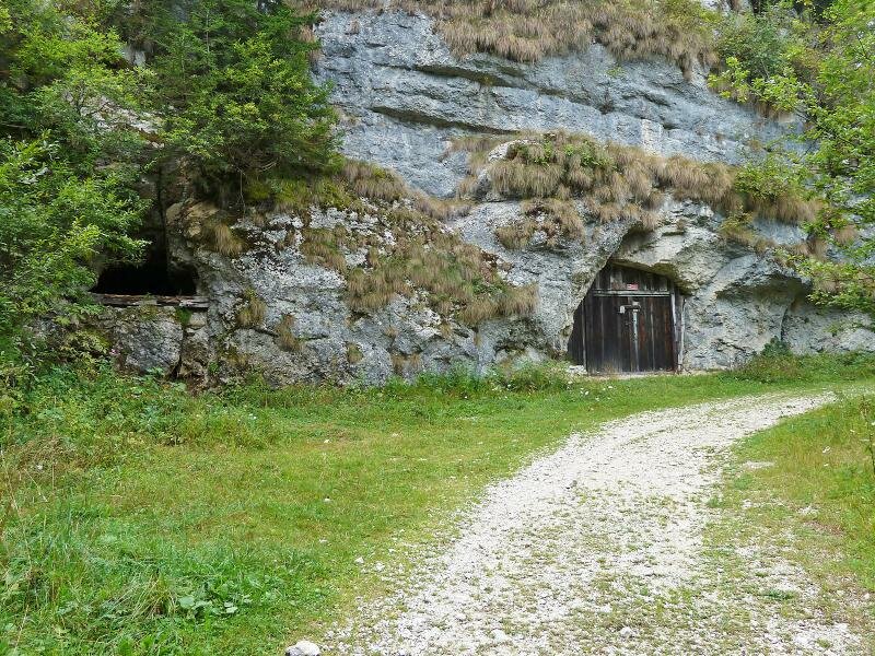
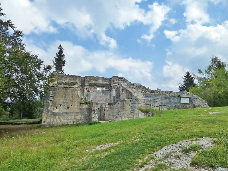
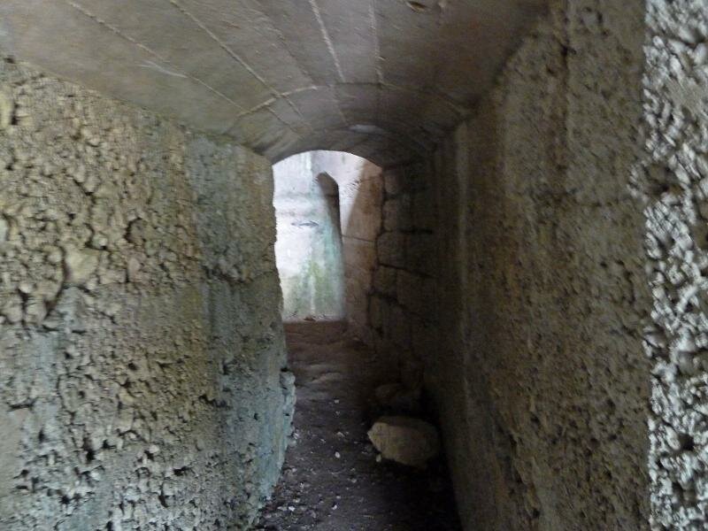
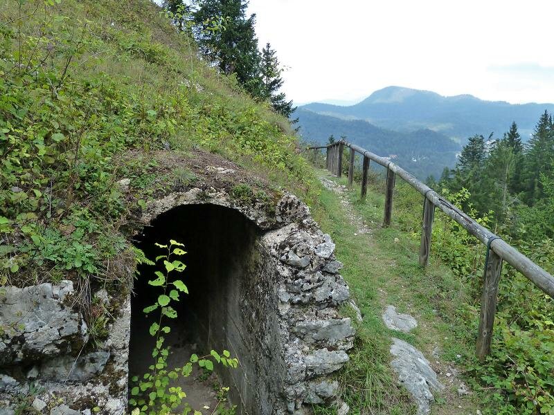
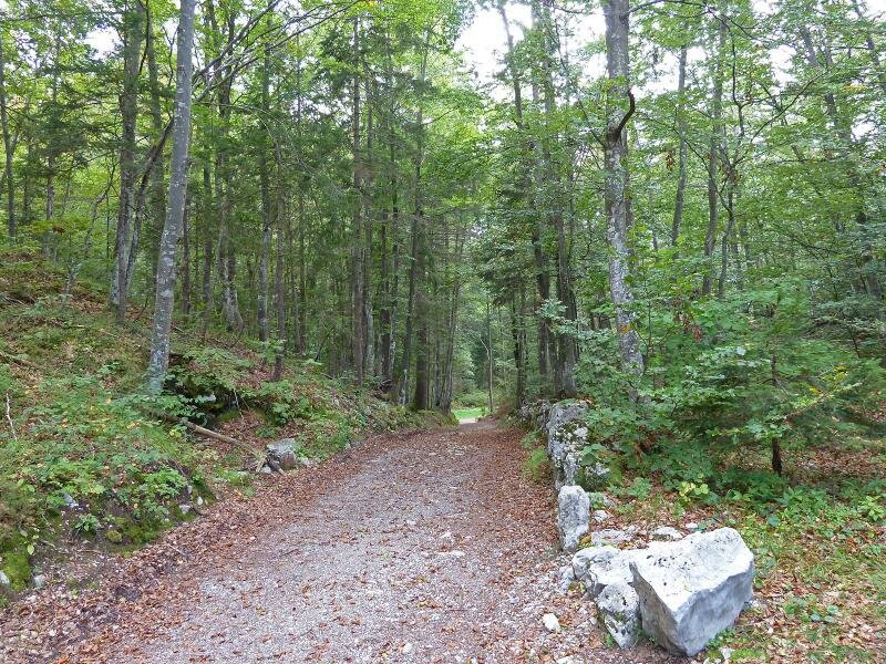
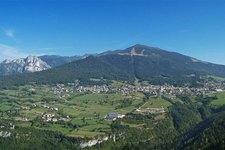
Our hike starts in Carbonare di Folgaria and more precisely in Via al Parco, where we take a forest path to Lavarone and Monte Rust. After a slight, 1.5 km long ascent through a beech forest, we follow the former military road leading uphill to the top of Monte Rust. Here, we find the remains of the "Optische Signalstation Monte Rust", the observatory of the Austro-Hungarian army. Its central position allowed the communication between the fortresses of Vezzena, Luserna, Belvedere, Cherle, Somo Alto and Dosso delle Somme.
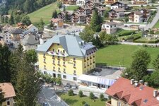
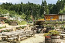
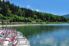
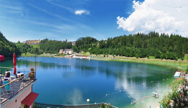
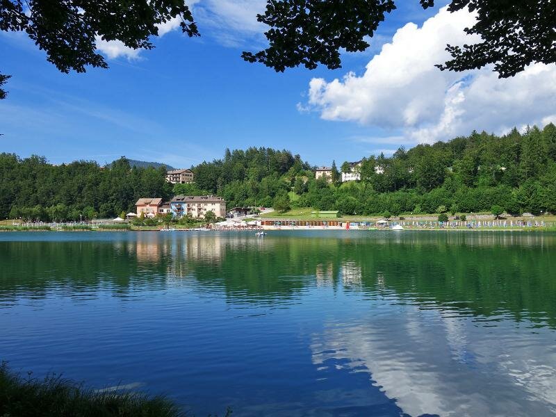
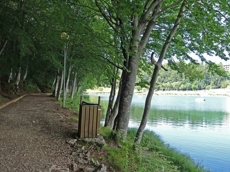
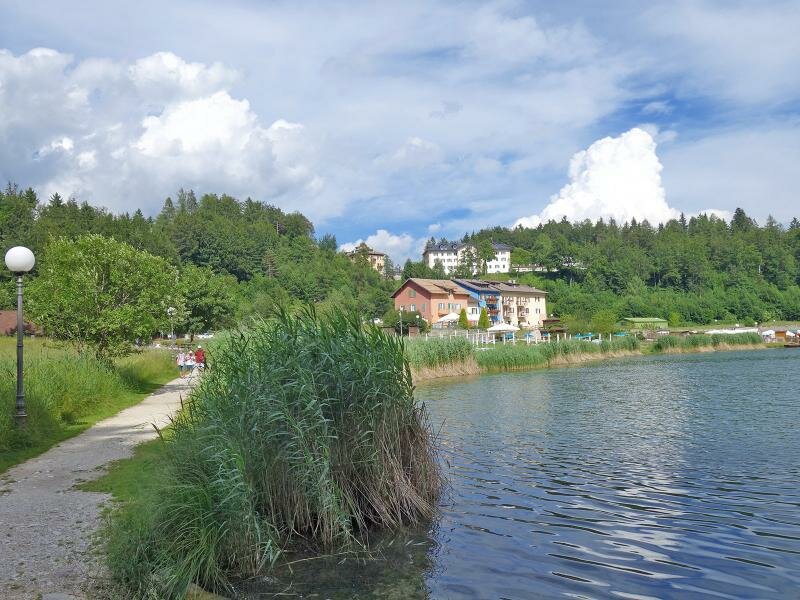
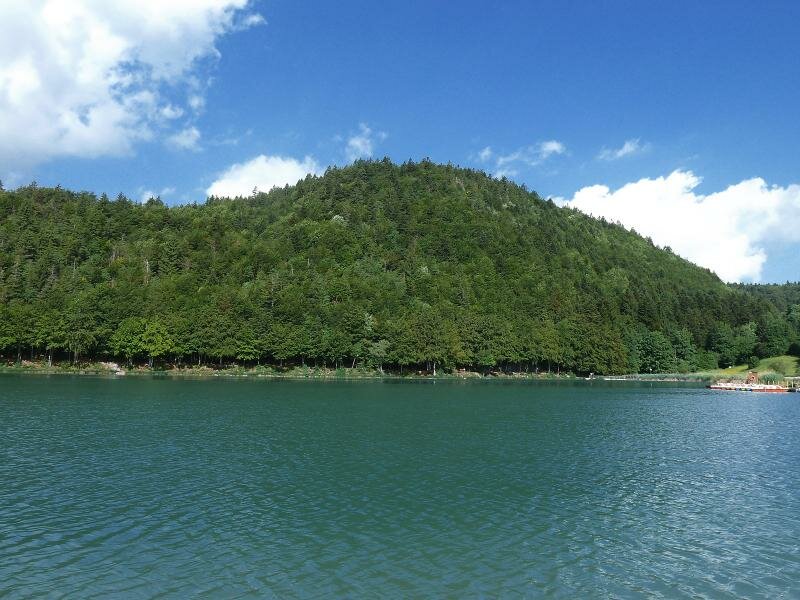
Lago di Lavarone at the foot of Monte Rust is accessible in less than 30 minutes by descending from the military observatory. The small bathing lake is an ideal destination for a relaxing day in nature. The beaches along the shores are ideal for sun baths and feature restaurants, bars and boat and pedalo rentals. Alternatives to the ascent on Monte Rust are the path crossing the village of Chiesa di Lavarone and the itinerary leading across the village of Pra di Sopra.
Date of the hike: 6 July 2016
Last updated in: 2026
Author: AT
-
- Starting point:
- Carbonare (Folgaria)
-
- Overall time:
- 02:50 h
-
- Total route length:
- 8,7 km
-
- Altitude:
- from 1.101 m to 1.265 m
-
- Altitude difference (uphill | downhill):
- +318 m | -318 m
-
- Destination:
- Monte Rust, Lago di Lavarone
-
- Resting points:
- Bazzario Lakeside, Ristorante Hotel al Lago
-
- Recommended time of year:
- Jan Feb Mar Apr May Jun Jul Aug Sep Oct Nov Dec
-
- Download GPX track:
- Hike to the Monte Rust and Lake Lavarone
If you want to undertake this hike, we recommend checking the weather and trail conditions in advance and on site before starting this hike!