The Val di Genova in the Adamello-Brenta Nature Park is surrounded by the Adamello and Presanella glaciers and features spectacular waterfalls
Image gallery: Hike to the Nardis Waterfalls in the Genova valley
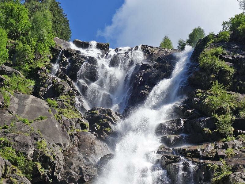
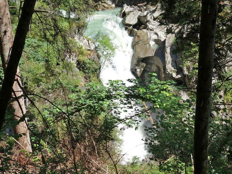
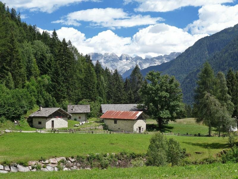
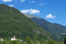
The Val di Genova, an unspoilt valley in the Adamello-Brenta Nature Park is surrounded by the Adamello and Presanella glaciers with their spectacular waterfalls.
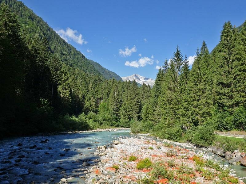
The Val di Genova is situated near a branch of the Sarca stream. The inlet where the Adamello and Presanella glacial streams flow into the Sarca stream, is also called Sarca di Genova.
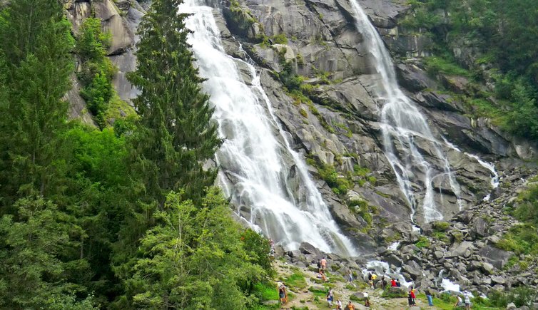
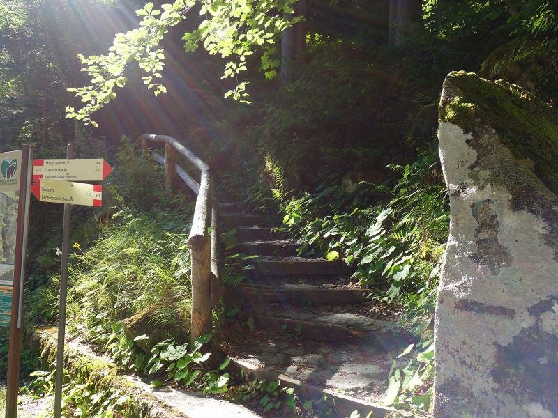
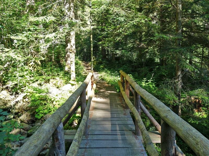
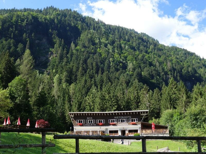
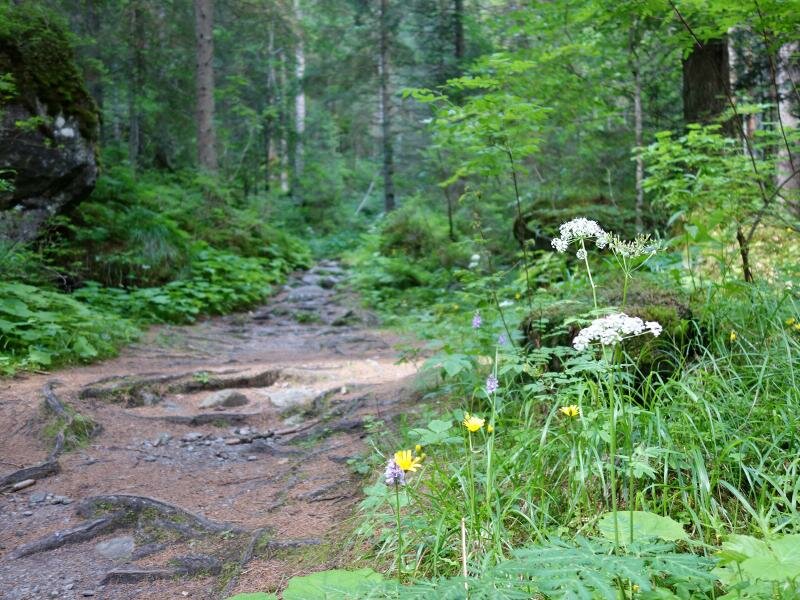
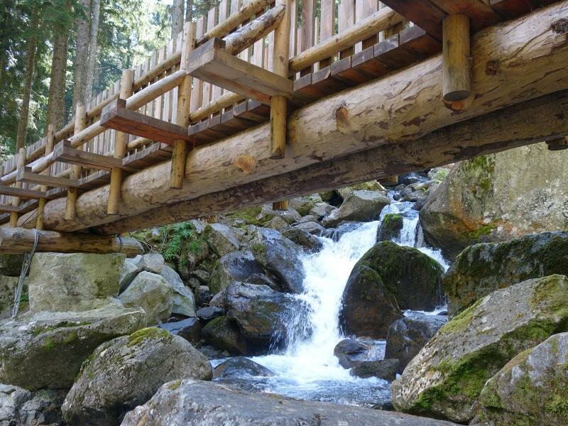
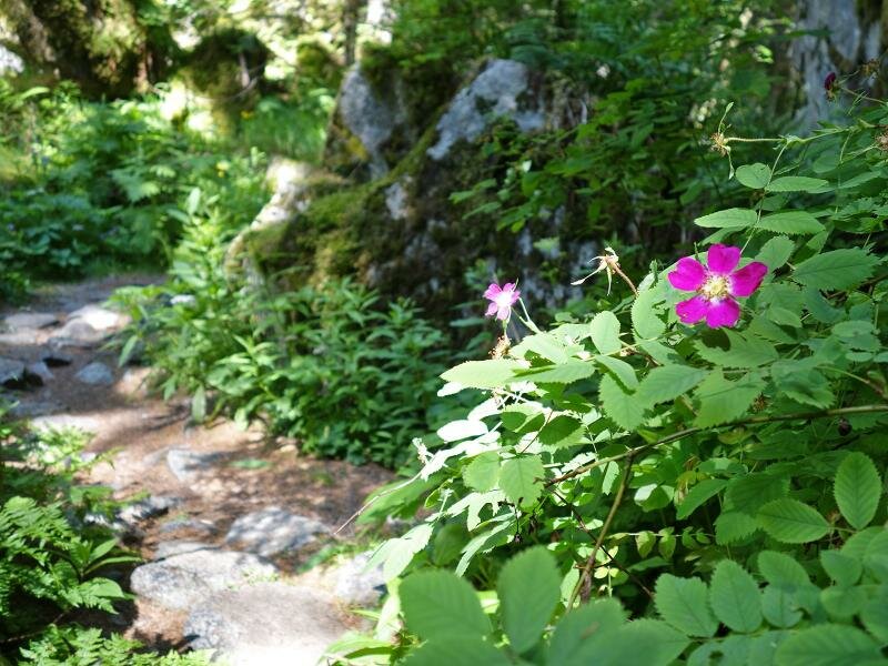
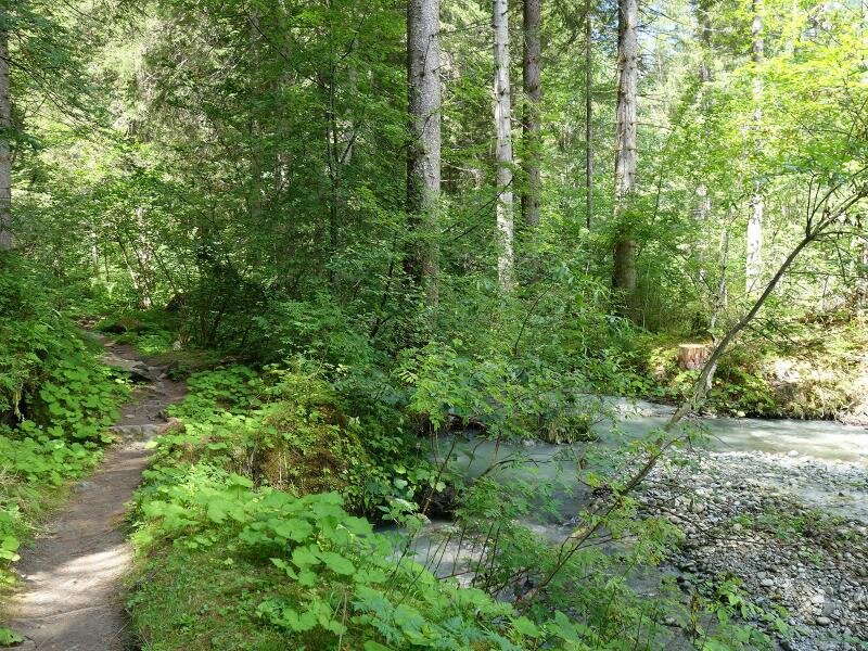
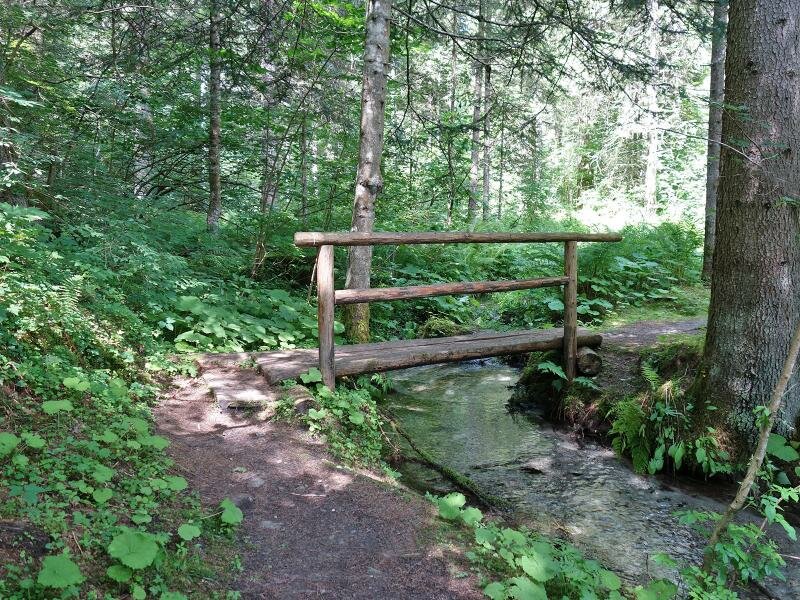
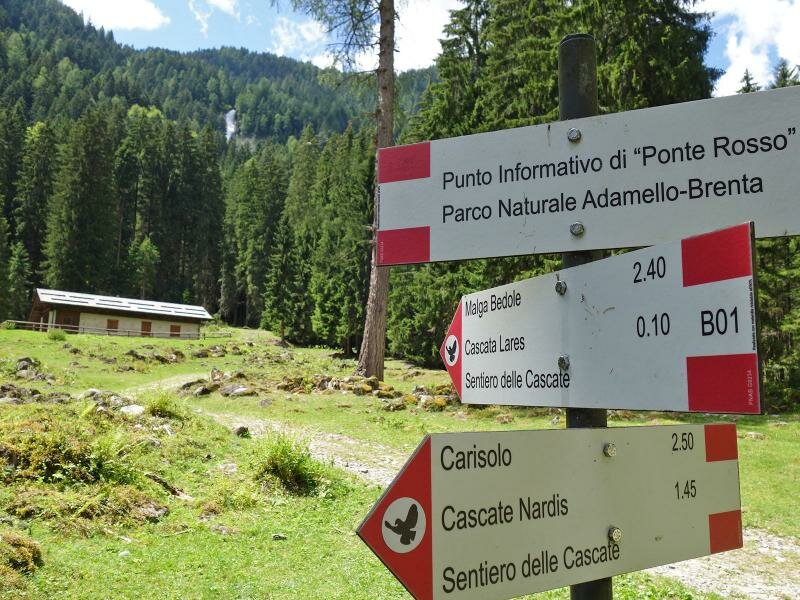
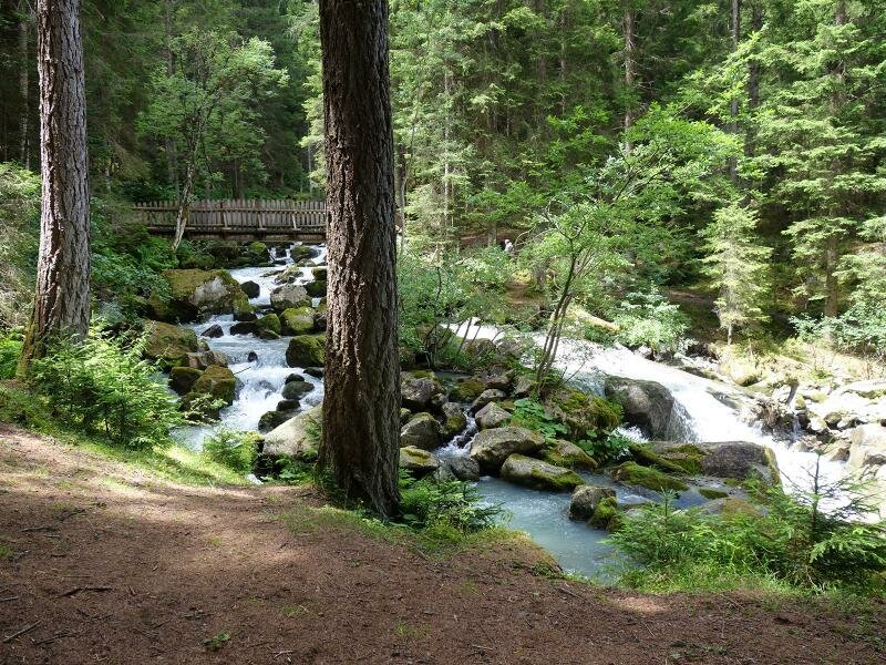
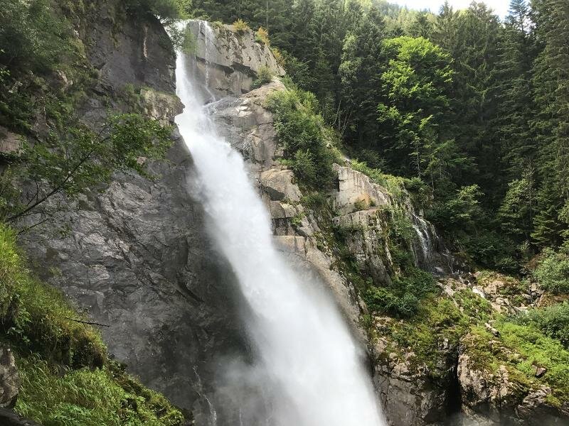
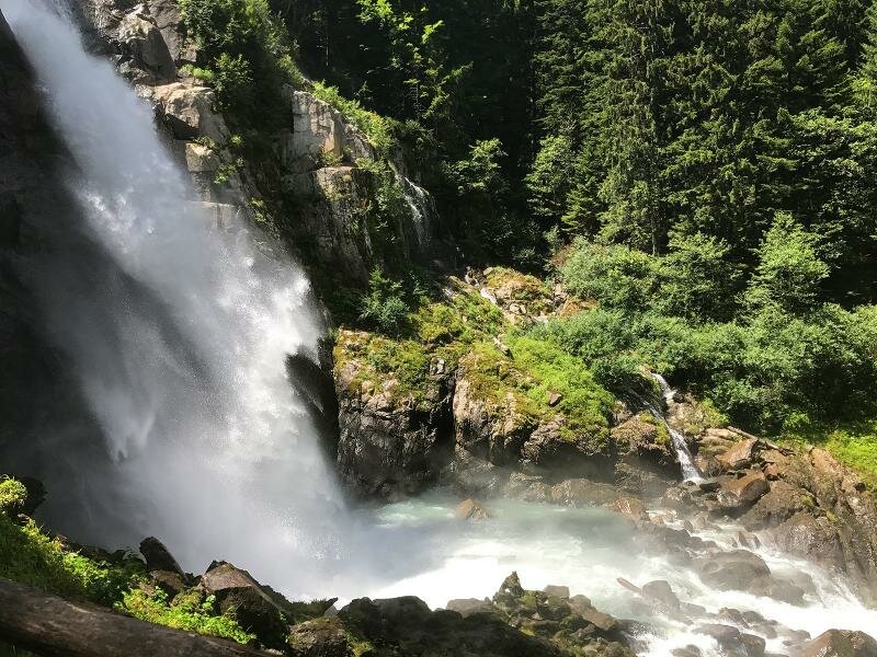
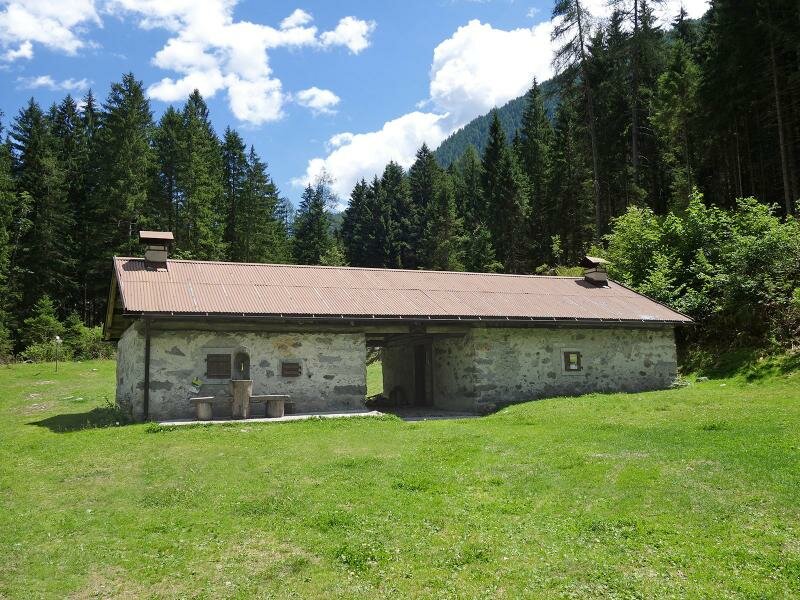
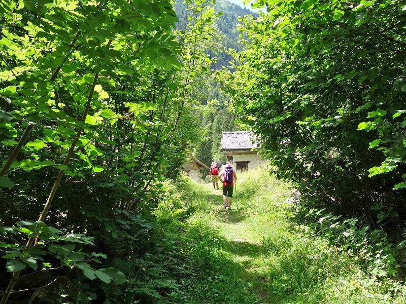
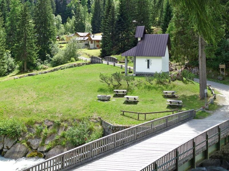
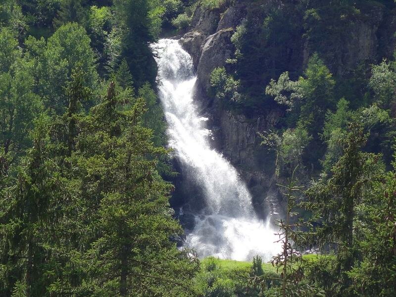
Our hike starts at the Ponte Verde car park, at the entrance of the valley, which is accessible by car via the road of the Val di Genova from Caderzone. We cross the bridge over the Sarca di Genova and take path B07 (Sentiero delle Cascate) towards the Cascate Nardis. The path runs across the forest, following the course of the stream. After only 10 minutes, we arrive at the impressive cascate di Nardis which you shouldn't miss. Along the path we also pass the cascate del Casöl and Lares. We end our tour at the Cascata Folgorida near the hamlet of La Todesca.
Those who would like to continue walking can extend this hike by 6 km to Malga Bedole. During the high season, visitors can take the shuttle service run by the Nature Park to return to Ponte Verde, the starting point.
Date of the hike: 13 July 2017
Last updated in: 2026
Author: AT
Parking: the tickets are limited and must be booked online in advance.
Shuttle-Bus:
Val Genova Express:
- Shuttle bus service available every day from June 21, 2025 to August 31, 2025; and during the following weekends: June 14-15, 2025; September 6-7, 2025 and September 13-14, 2025
- reservation required (online / tourist offices)
Shuttle bus Cascate Nardis (Pinzolo - Ponte Verde):
- Shuttle bus service available daily from June 14, 2025 to September 14, 2025
- reservation recommended (before 8 am of the day of your journey, online or in tourist offices)
-
- Starting point:
- Ponte Verde parking space in the lower Val di Genova
-
- Overall time:
- 02:40 h
-
- Total route length:
- 7,4 km
-
- Altitude:
- from 926 m to 1.277 m
-
- Altitude difference (uphill | downhill):
- +503 m | -163 m
-
- Signposts:
- B01, Sentiero delle Cascate
-
- Destination:
- Val di Genova, La Todesca (hamlet)
-
- Resting points:
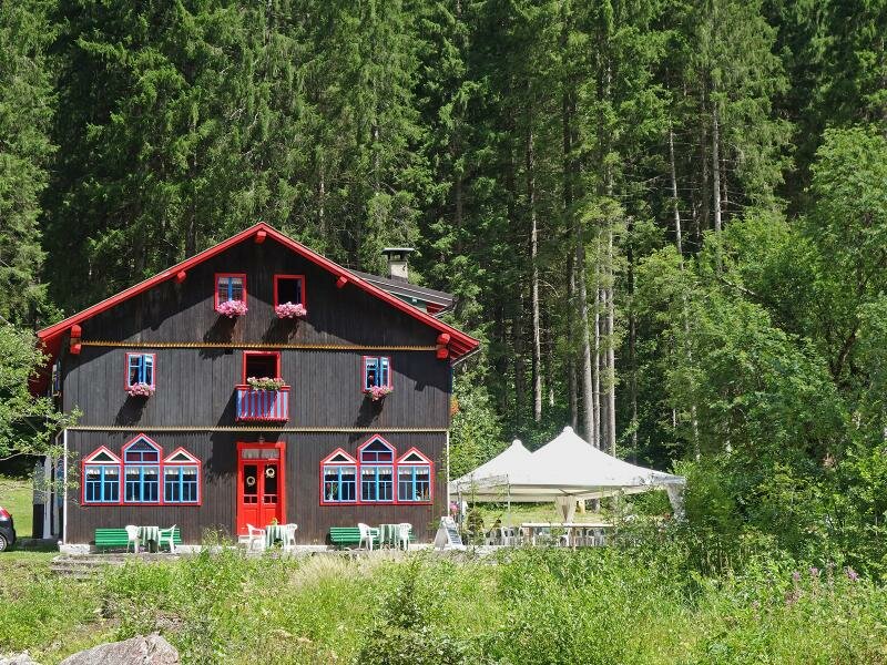
- Restaurant Cascata Nardis, Rifugio Fontanabona
-
- Recommended time of year:
- Jan Feb Mar Apr May Jun Jul Aug Sep Oct Nov Dec
-
- Download GPX track:
- Hike to the Nardis Waterfalls in the Genova valley
If you want to undertake this hike, we recommend checking the weather and trail conditions in advance and on site before starting this hike!