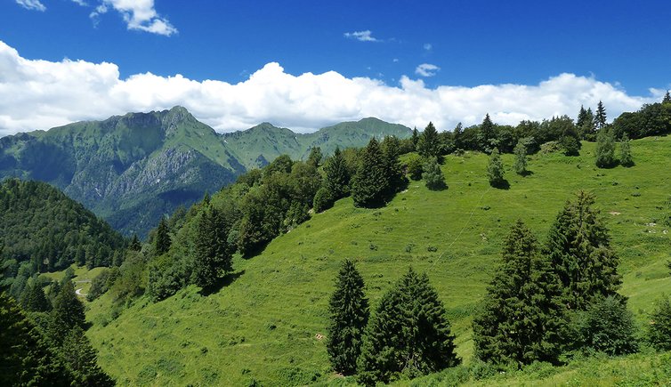
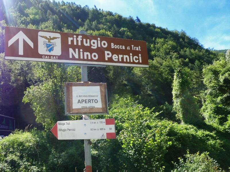
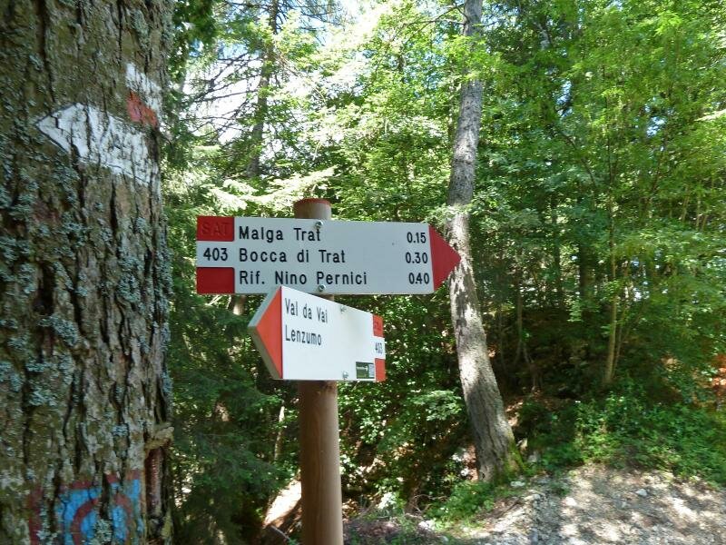
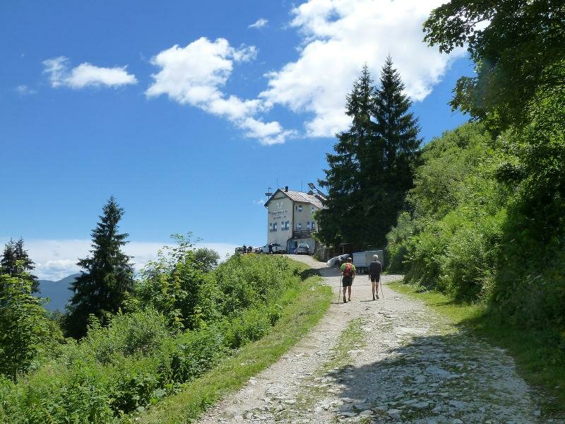
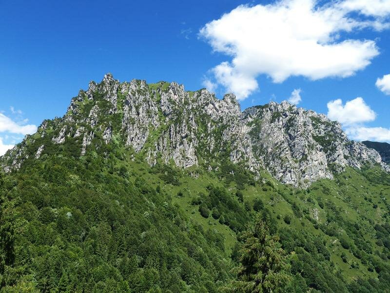
The Rifugio Nino Pernici is located at 1,600 m a.s.l. in the mountains surrounding Bocca di Trat, a pass between the Ledro and Tenno valleys
Image gallery: Hike from Ledro to the Rifugio N. Pernici
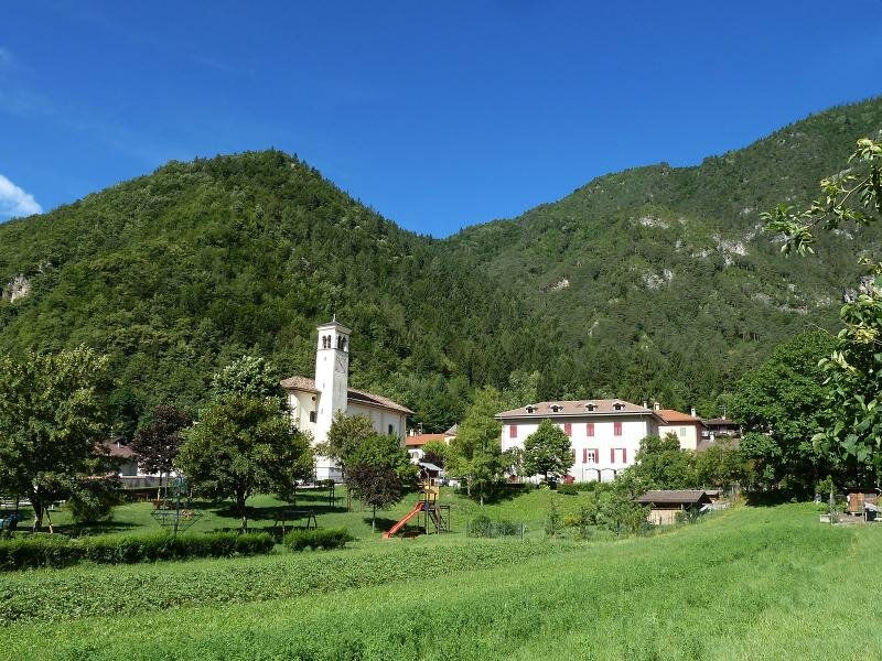
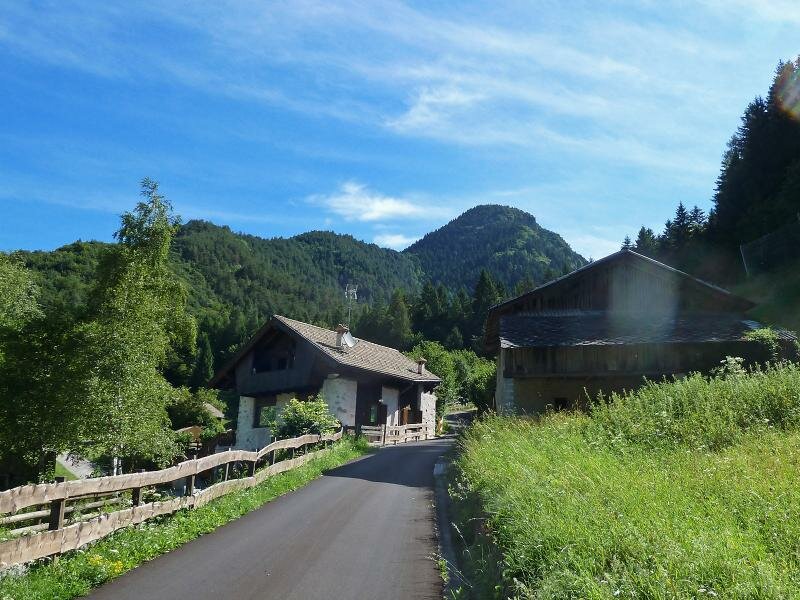
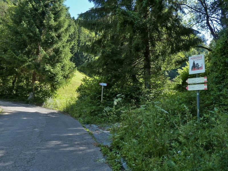
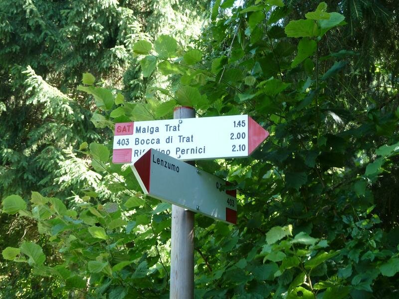
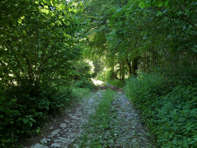
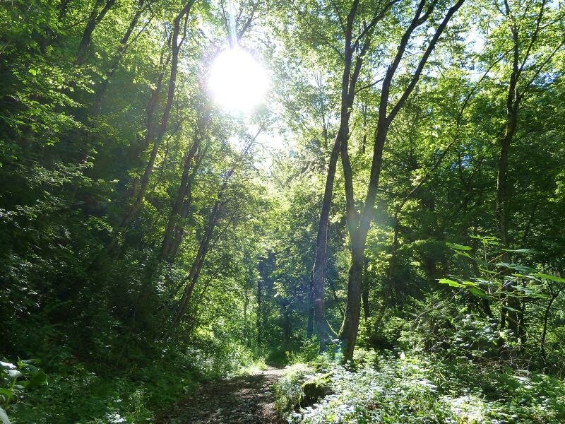
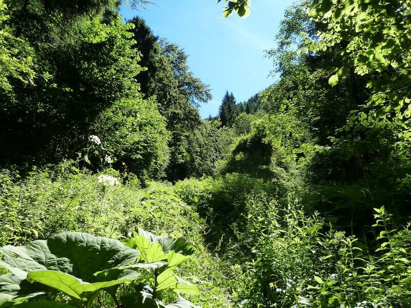
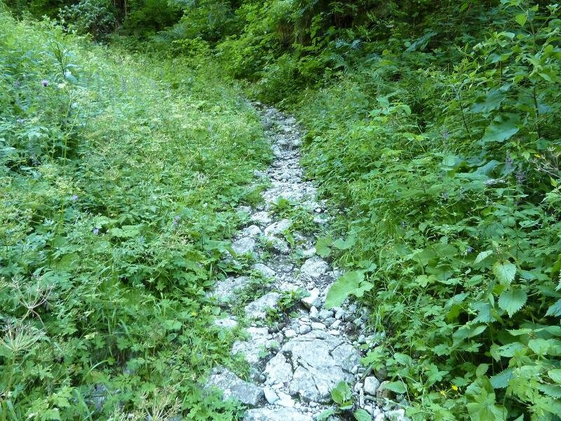
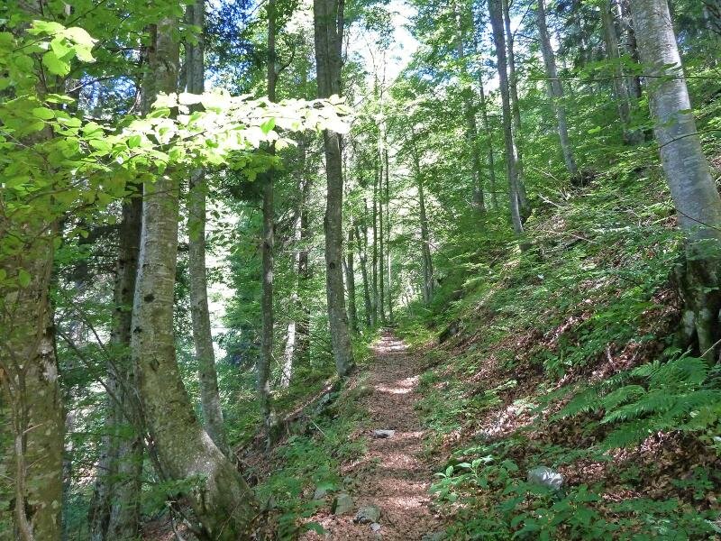
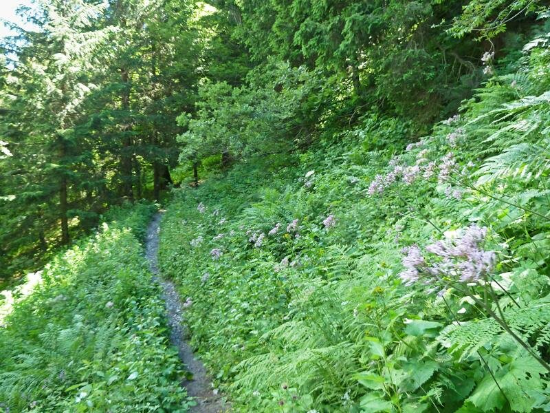
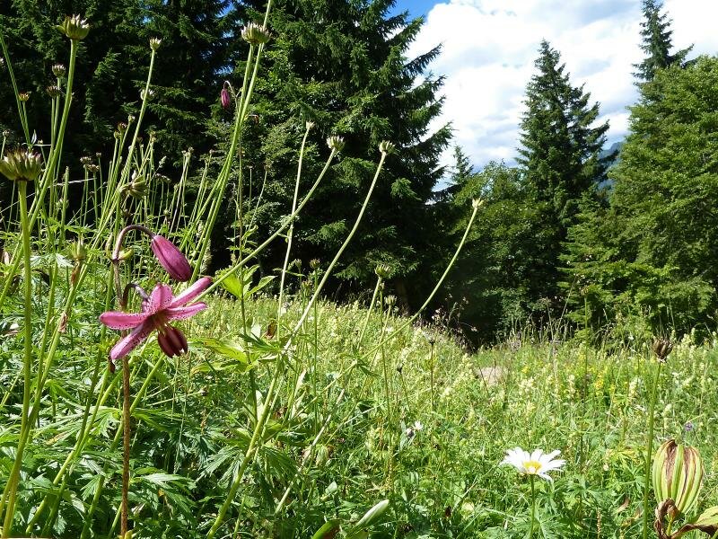
We start our hike in Lenzumo, a village in the Val Concei in the municipality of Ledro. From the village, we take path no. 403 towards "Bocca di Trat". The first kilometre follows an asphalt road. After a bend, a forest path leading through the Val da Vai, branches off to the right. This path is poorly maintained but still visible among herbs and nettles.
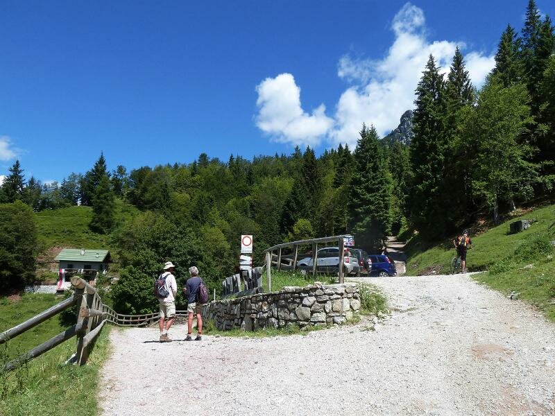
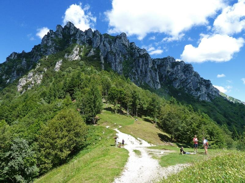
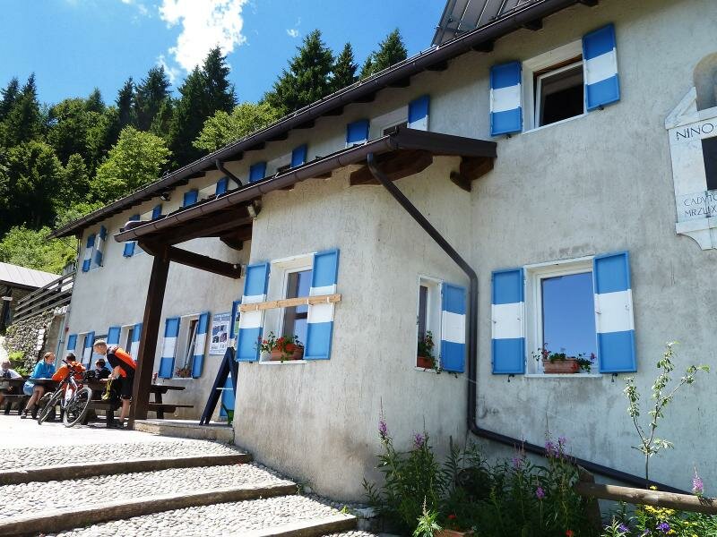
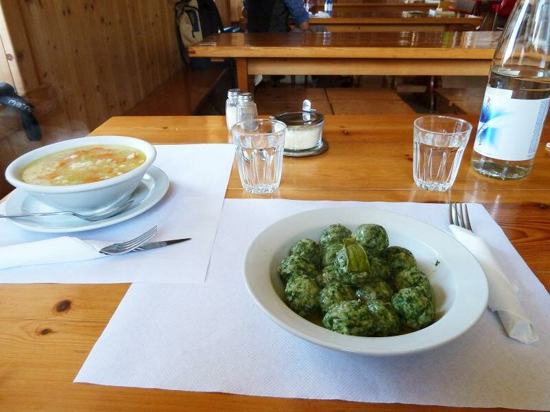
After crossing the valley, we take the forest road to Malga Trat at approximately 1,500 m a.s.l. This mountain pass below the Crinale Pichea, is only a few minutes from the Rifugio Pernici, which offers a stunning view to the Dolomites and Monte Baldo. We recommend trying the typical local delicacies of the Valle di Ledro.
We return on the same path. Alternatively, we can take the broad, mainly asphalted path descending from Malga Trat to Lenzumo. This road is low trafficked, but we will likely encounter many cyclists.
Author: AT
-
- Starting point:
- Concei (Ledro), hamlet of Lenzumo
-
- Overall time:
- 04:35 h
-
- Total route length:
- 14,0 km
-
- Altitude:
- from 782 m to 1.579 m
-
- Altitude difference (uphill | downhill):
- +854 m | -854 m
-
- Signposts:
- 403
-
- Destination:
- Rif. Bocca di Trat Nino Pernici mountain hut
-
- Resting points:
- Rifugio Bocca di Trat Nino Pernici
-
- Recommended time of year:
- Jan Feb Mar Apr May Jun Jul Aug Sep Oct Nov Dec
-
- Download GPX track:
- Hike from Ledro to the Rifugio N. Pernici
If you want to undertake this hike, we recommend you to check the weather and trail conditions in advance and on site before setting out.