With an altitude of almost 1,100 m a.s.l., Monte Calisio ist the highest peak of the Argentario northeast of Trento, an ideal hiking area in the forest with views of the mountain peaks
Image gallery: Hike from Lake Santa Colomba to Mt Calisio
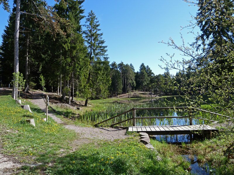
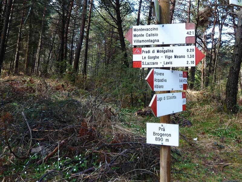
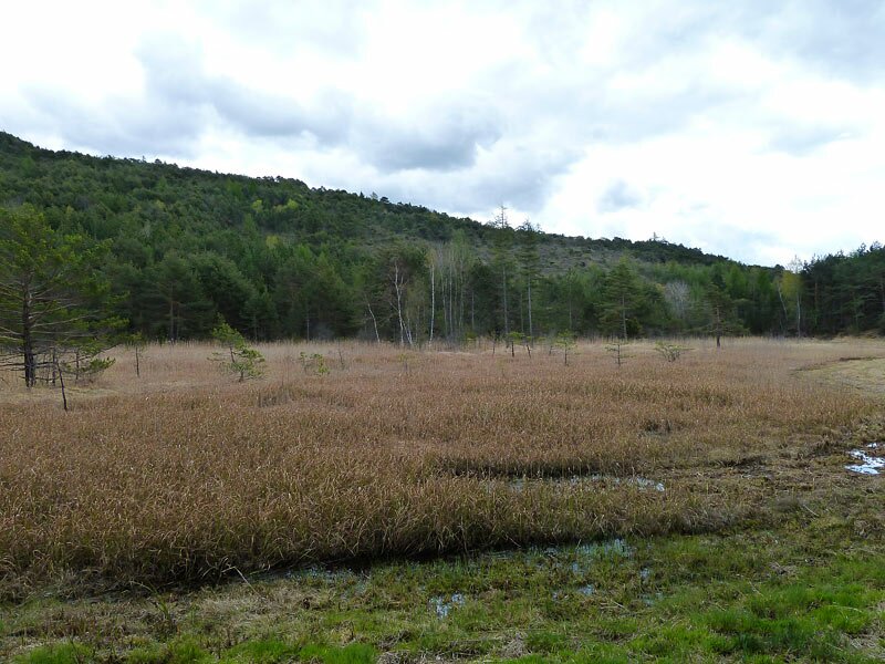
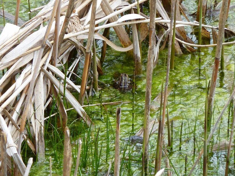
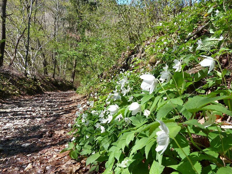
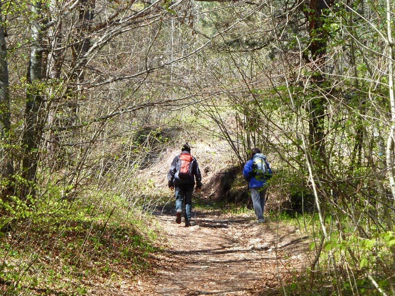
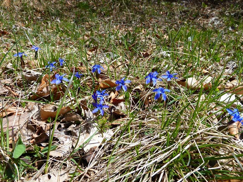
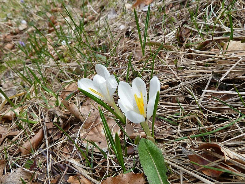
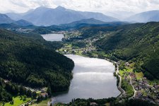
Lago di Santa Colomba is situated at an altitude of 850 m a.s.l. in the heart of the forests between Albiano, Baselga di Piné and Trento. It is accessible by car from Lavis and Albiano (southern part of the Val di Cembra) or from Civezzano and Fornace. You can leave your car at the car park of the restaurant near the lake. From this small and romantic lake we take path no. 421 which takes us to the Le Grave biotope, where we find some rushes, an ideal habitat for amphibians and birds.
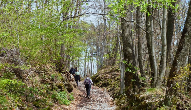
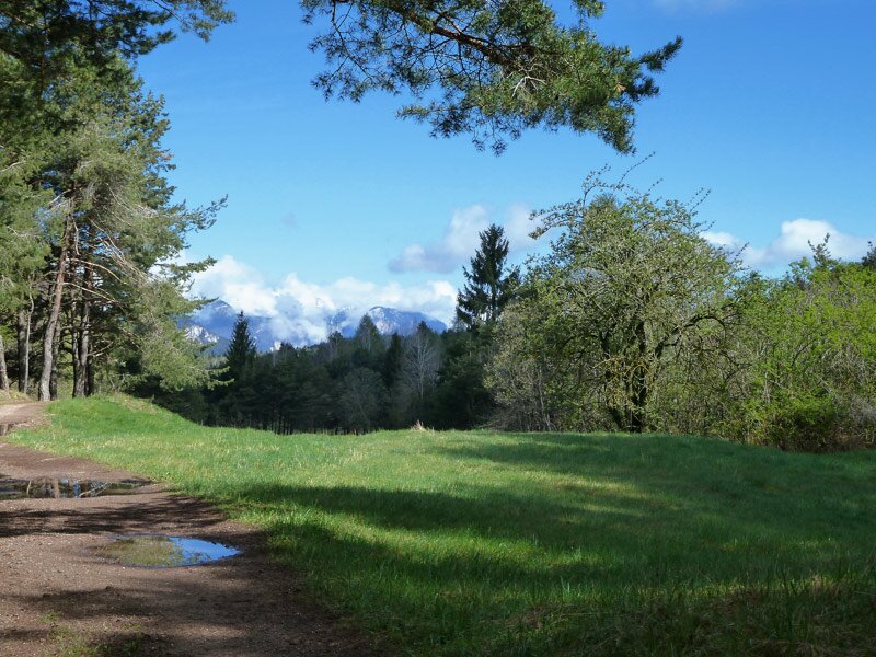
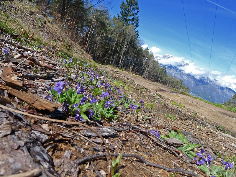
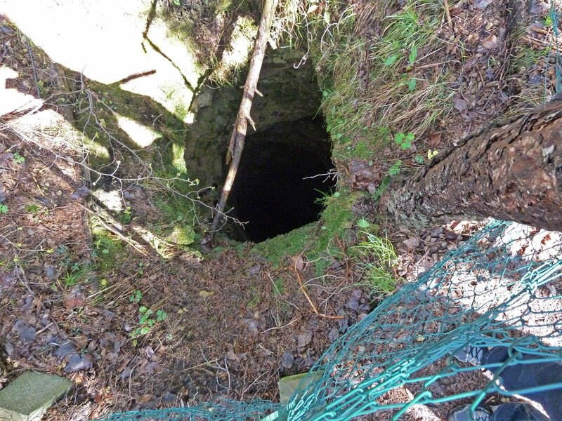
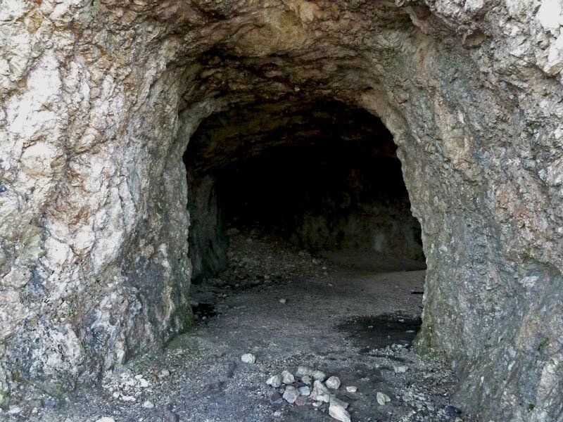
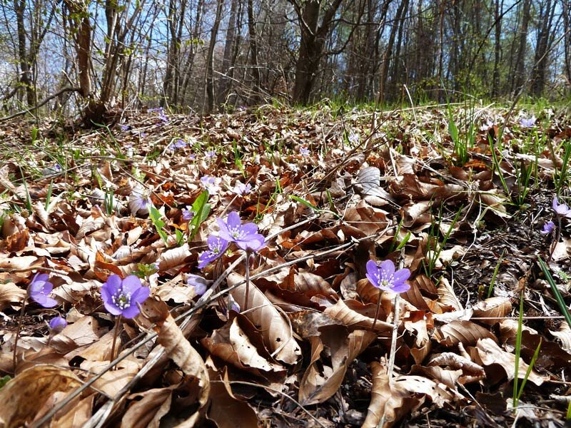
We walk through the forest to sunny meadows where our path broadens and runs along the slopes of the Argentario, an extensive silver extraction site of the Middle Ages. Please note: do not leave the marked path as the forest is full of grooves and holes and the terrain is unstable, please mind your steps.
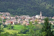
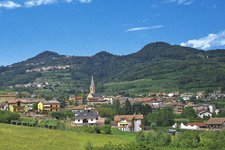
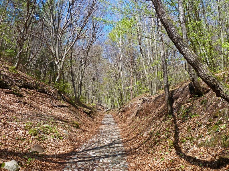
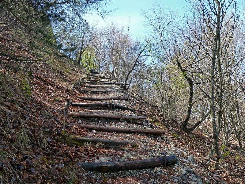
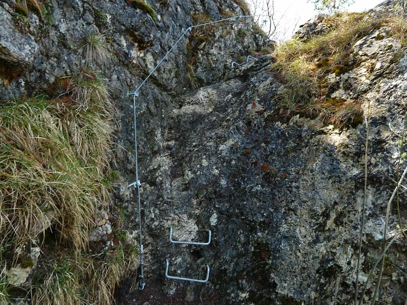
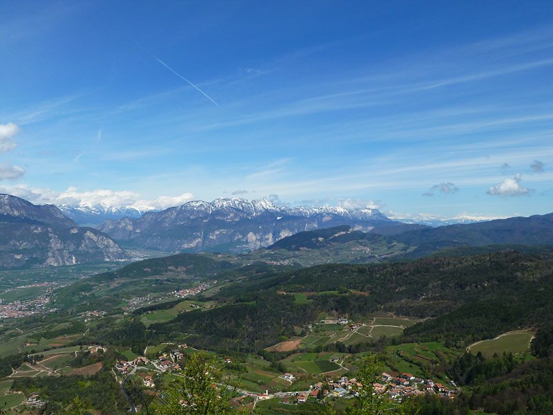
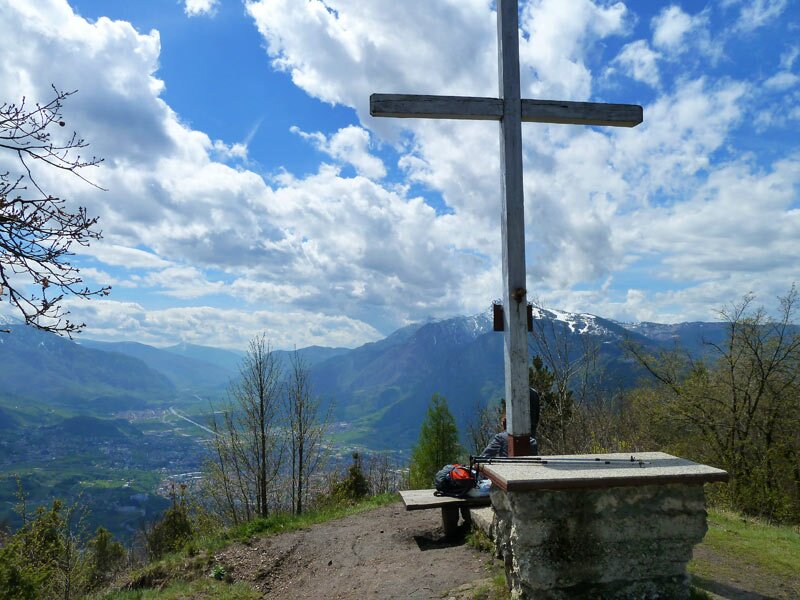
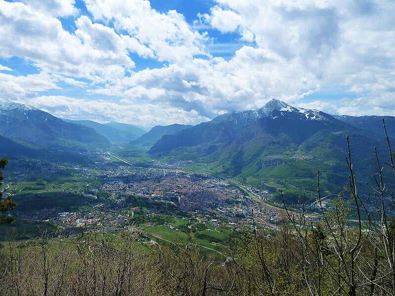
The path no. 421 to Monte Calisio continues uphill, leads past the wall remains of the Austro-Hungarian stronghold 'Casara' where it narrows progressively (signpost no. 430) and continues to ascend until the top. At the final destination we enjoy a stunning view of the city of Trento and the still snow-covered peaks of the mountains of Trentino and South Tyrol (Alto Adige).
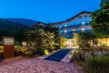
Ristorante albergo Lago Santa Colomba (at the starting point): definitely closed
Date of the hike: 25 April 2012
Last updated in: 2026
Author: AT
-
- Starting point:
- Lake Santa Colomba (Albiano)
-
- Overall time:
- 04:10 h
-
- Total route length:
- 14,0 km
-
- Altitude:
- from 840 m to 1.076 m
-
- Altitude difference (uphill | downhill):
- +425 m | -425 m
-
- Signposts:
- no. 421 (Monte Calisio), 430 - alternative for descent: no. 403 until the junction with no. 421
-
- Destination:
- Monte Calisio
-
- Resting points:
- Ristorante albergo Lago Santa Colomba (at the starting point) - currently closed
-
- Recommended time of year:
- Jan Feb Mar Apr May Jun Jul Aug Sep Oct Nov Dec
-
- Download GPX track:
- Hike from Lake Santa Colomba to Mt Calisio
If you want to undertake this hike, we recommend you to check the weather and trail conditions in advance and on site before setting out.