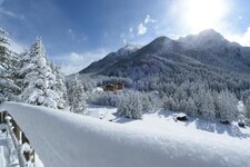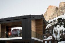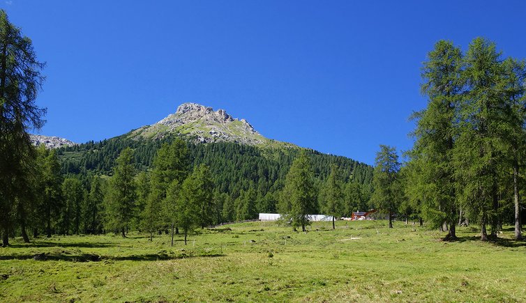
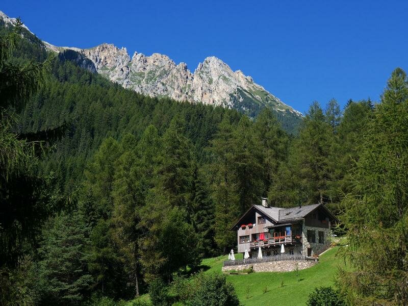
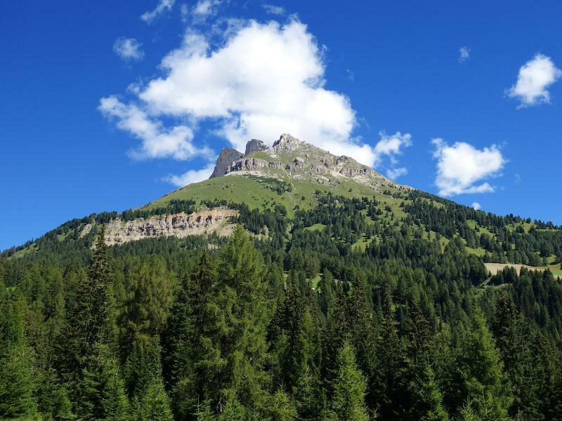
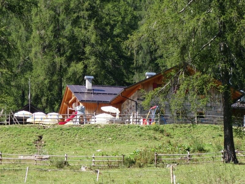
Malga Secine is situated directly below the Passo di Costalunga between the Latemar and Catinaccio massifs. This 7 km long forest path connects the malga to the Val di Fassa
Image gallery: Hike from Moena to Malga Secine
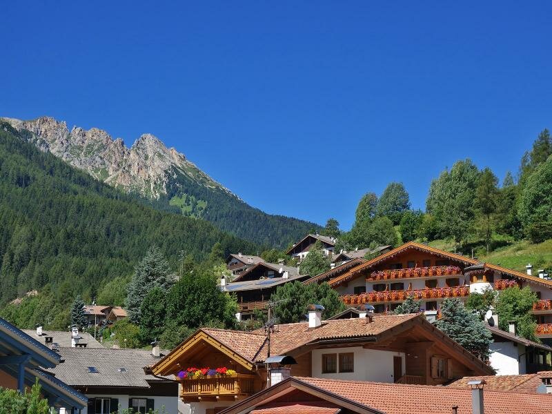
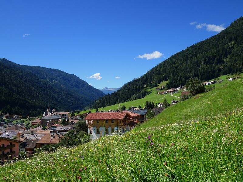
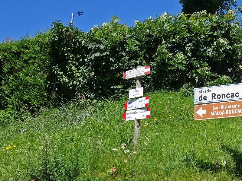
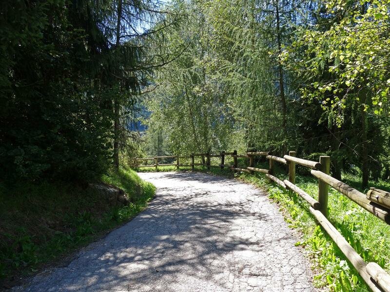
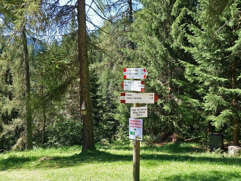
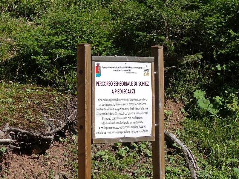
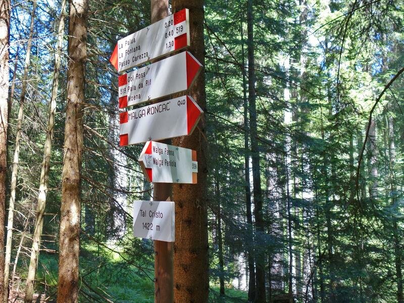
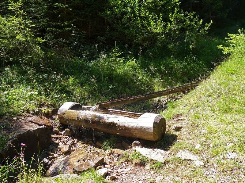
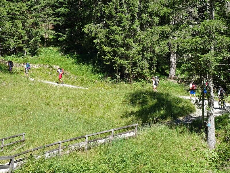
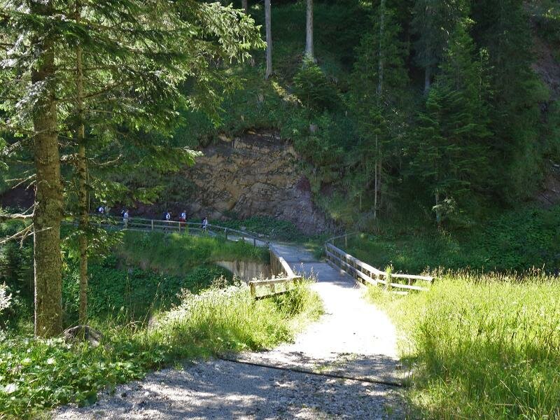
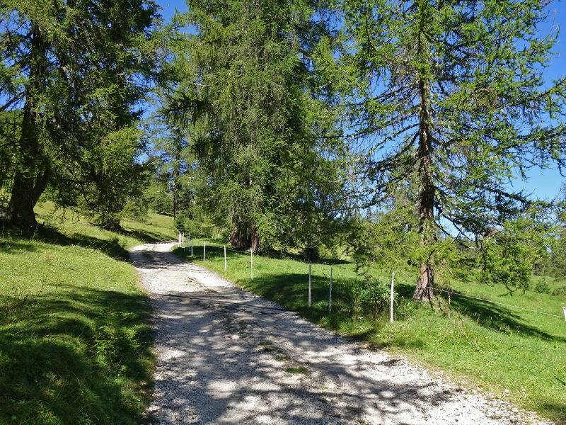
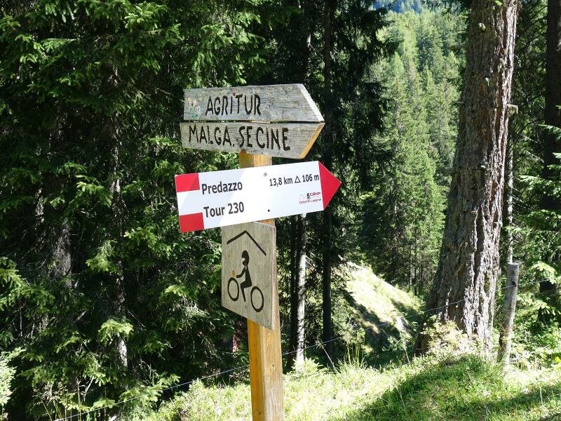
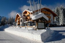
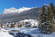
The indications for the itinerary to Malga Secine are easy to explain: you only need to follow signpost no. 519. We start from the village of Moena where the path begins. The first section winds across meadows and slopes to Malga Roncac. This malga is only a 30 minute walk from the village centre and the only refreshment area along the route before we reach our destination, Malga Secine.
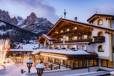
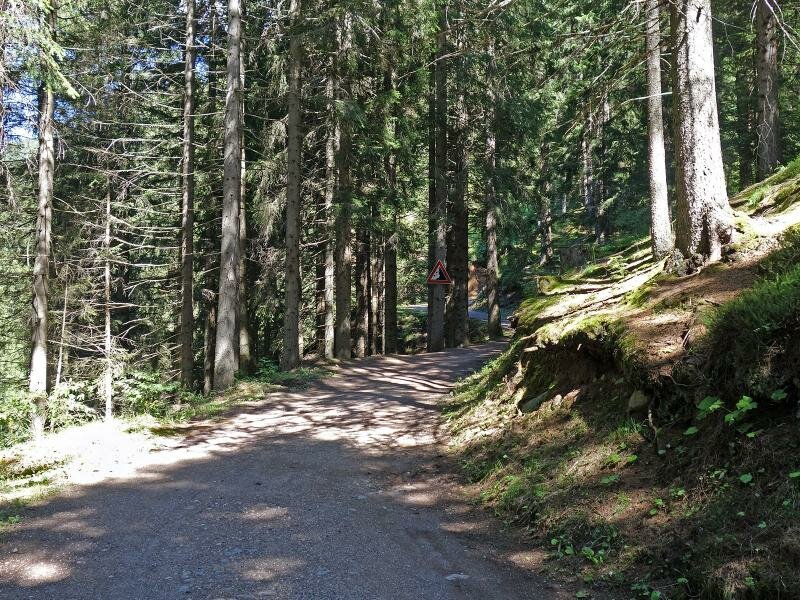
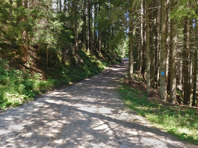
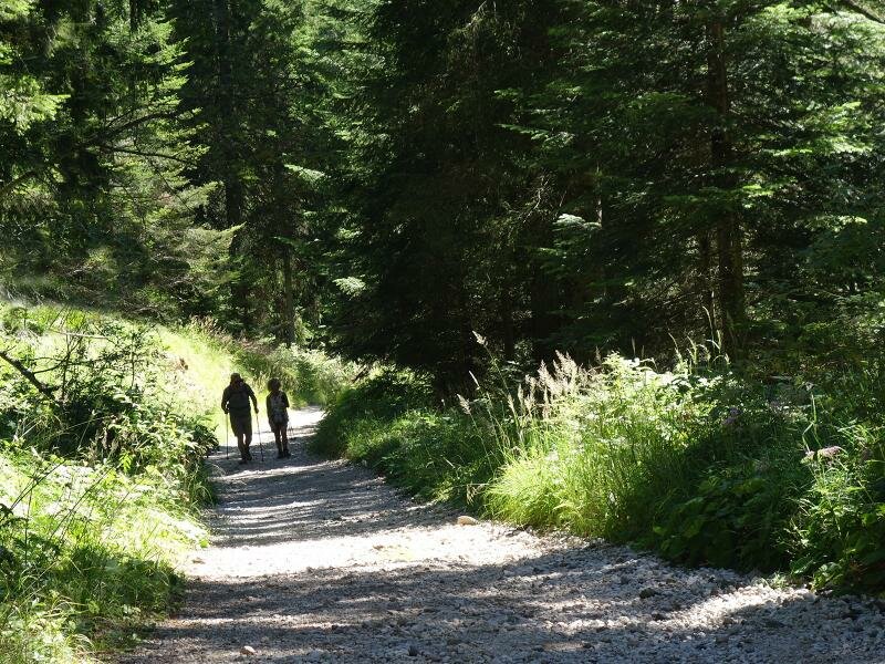
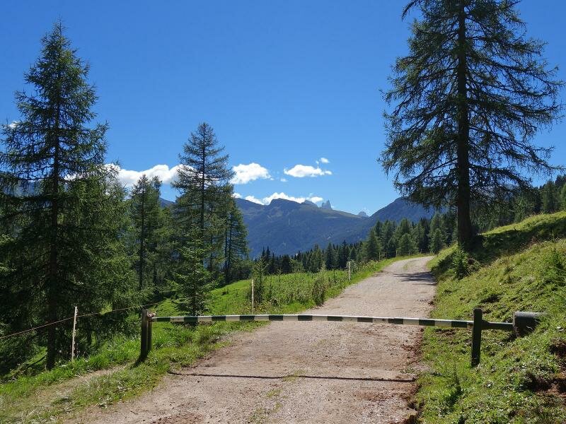
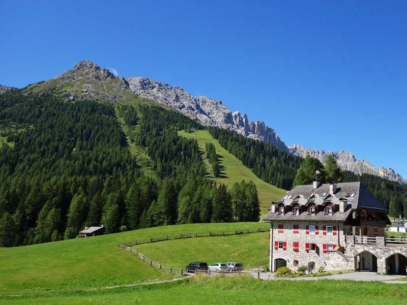
The forest road no. 519 winds across the forest to the meadows of Passo Costalunga (Karerpass). This beautiful itinerary leads constantly uphill and offers marvellous views of the surrounding peaks. Shortly before Passo di Costalunga we spot the signpost to "Malga Secine" on the left, a well-known refreshment area at the foot of the Latemar at 1,760 m a.s.l. If you prefer not to walk too much, you can start on Passo Costalunga from where it is only a 500 metre walk to Malga Secine.
Author: AT
-
- Starting point:
- Moena
-
- Overall time:
- 04:40 h
-
- Total route length:
- 14,2 km
-
- Altitude:
- from 1.184 m to 1.769 m
-
- Altitude difference (uphill | downhill):
- +586 m | -586 m
-
- Signposts:
- 519, Malga Secine
-
- Destination:
- Agritur Malga Secine
-
- Resting points:
- Malga Secine
-
- Recommended time of year:
- Jan Feb Mar Apr May Jun Jul Aug Sep Oct Nov Dec
-
- Download GPX track:
- Hike from Moena to Malga Secine
If you want to undertake this hike, we recommend you to check the weather and trail conditions in advance and on site before setting out.