The extensive hike through mountains and valleys in the Stelvio National Park leads us to the reservoir of Pian Palù
Image gallery: Hike from Peio to Lake Pian Palù
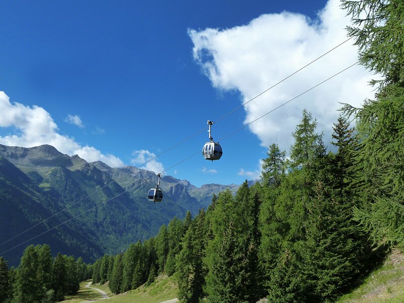
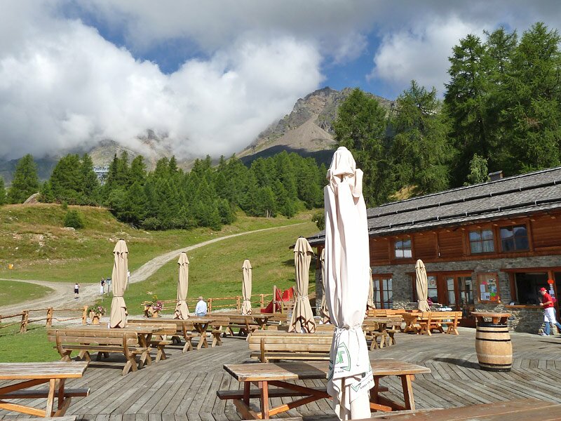
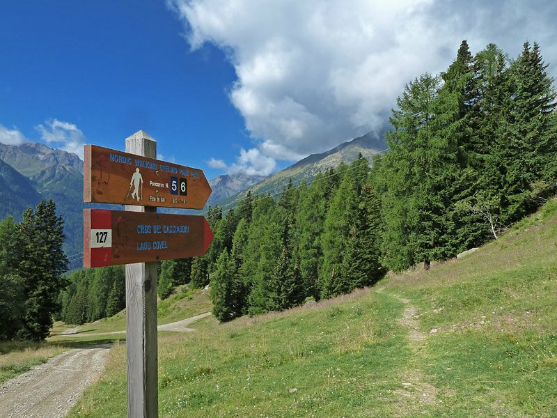
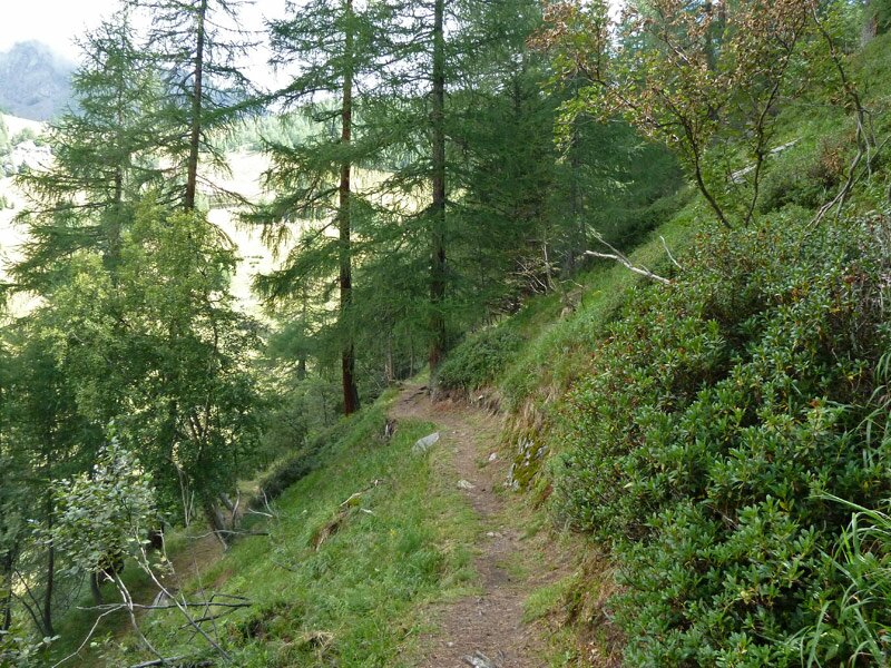
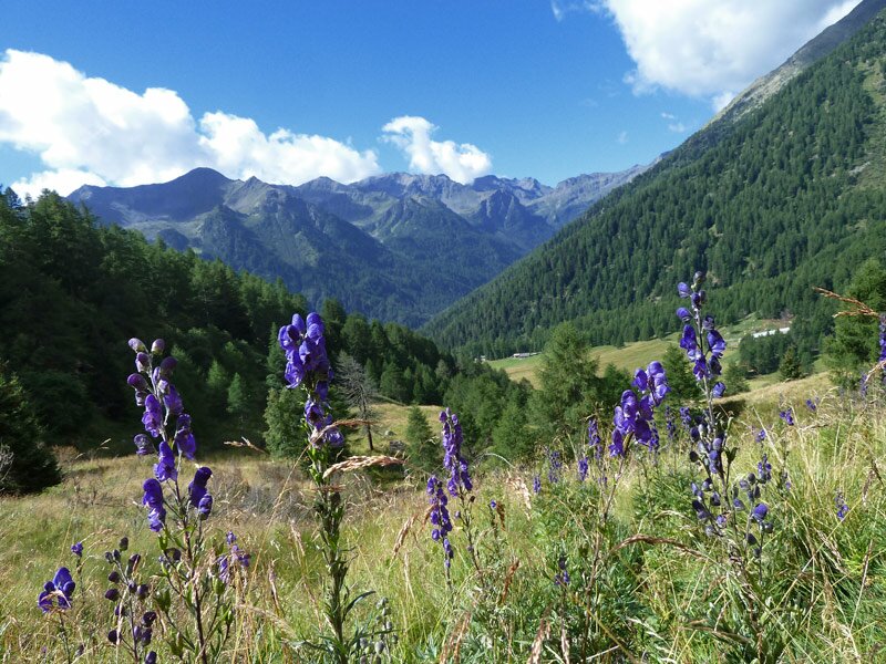
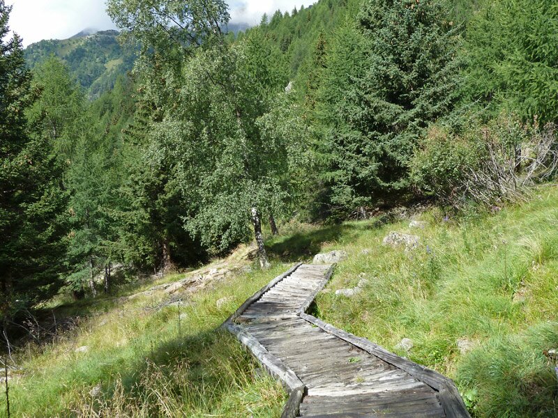
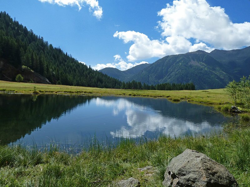
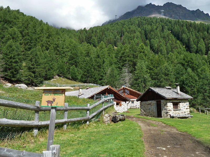
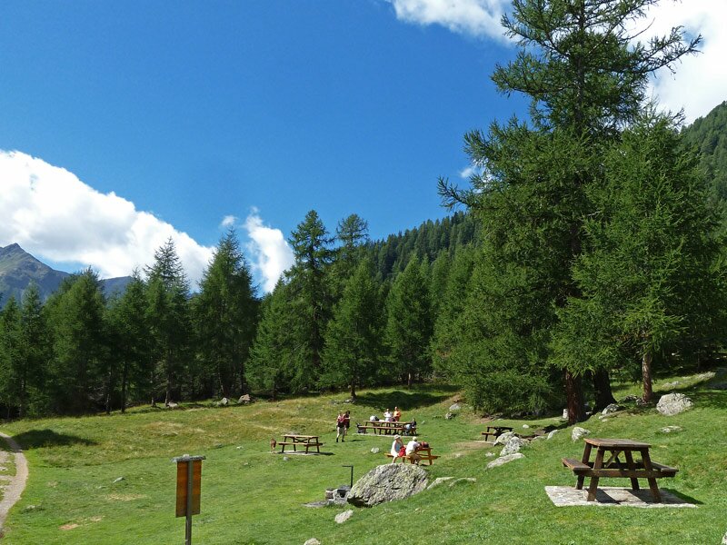
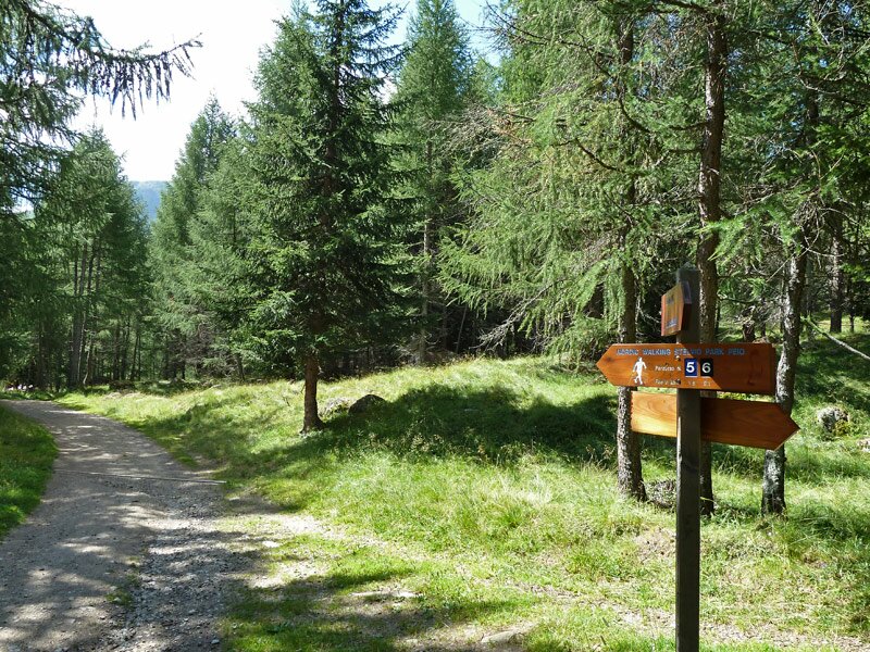
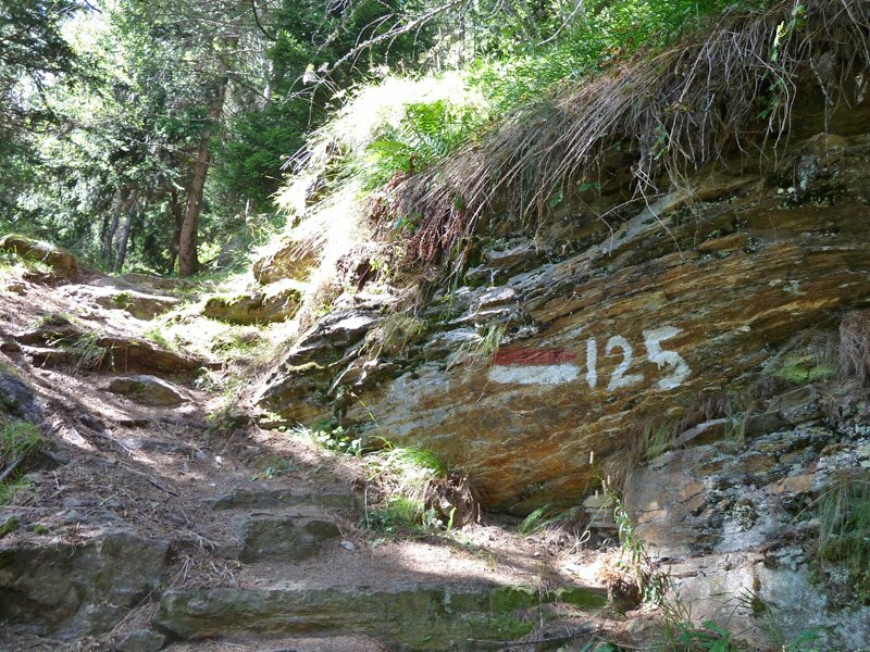

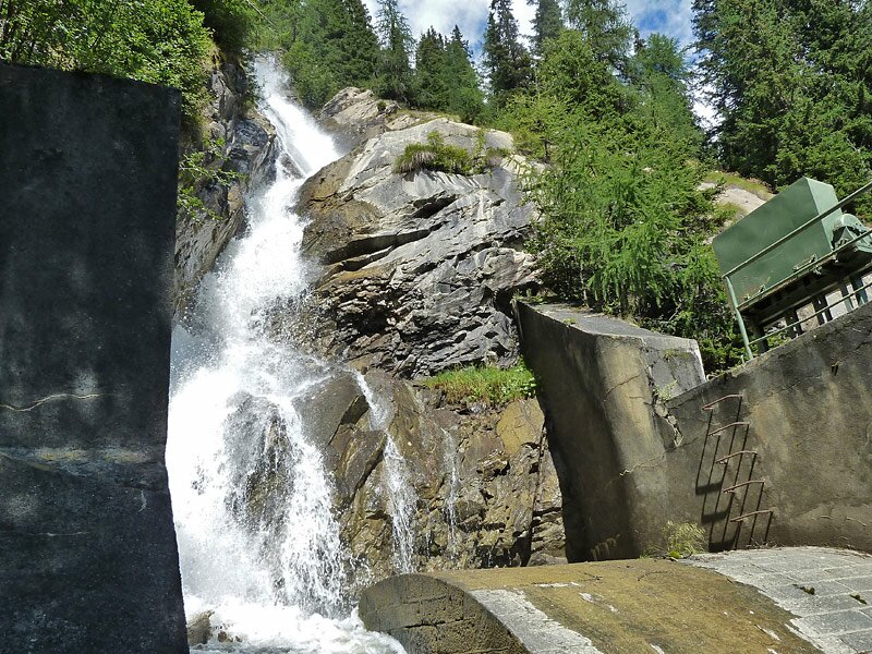
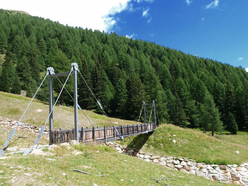
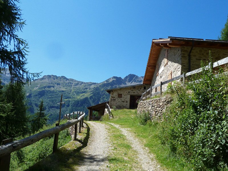
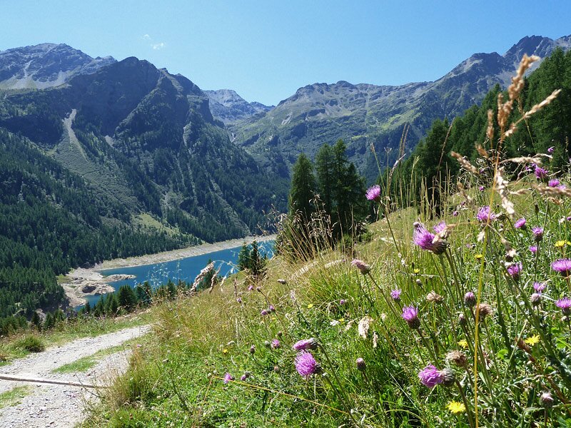

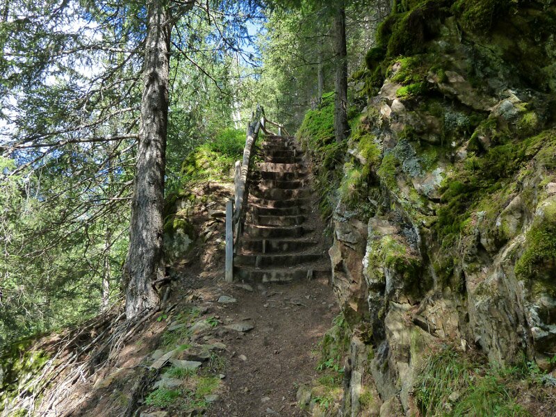
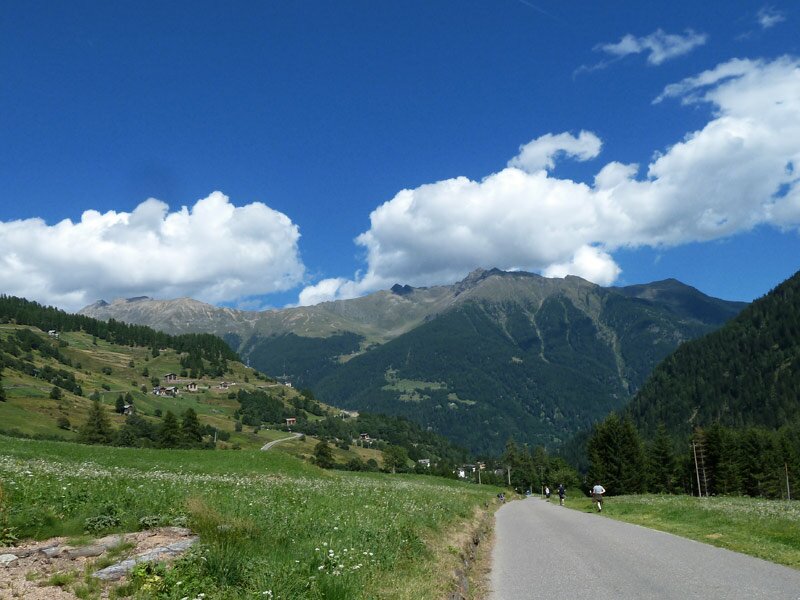
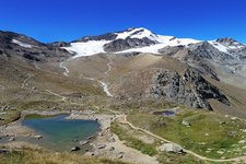
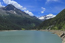
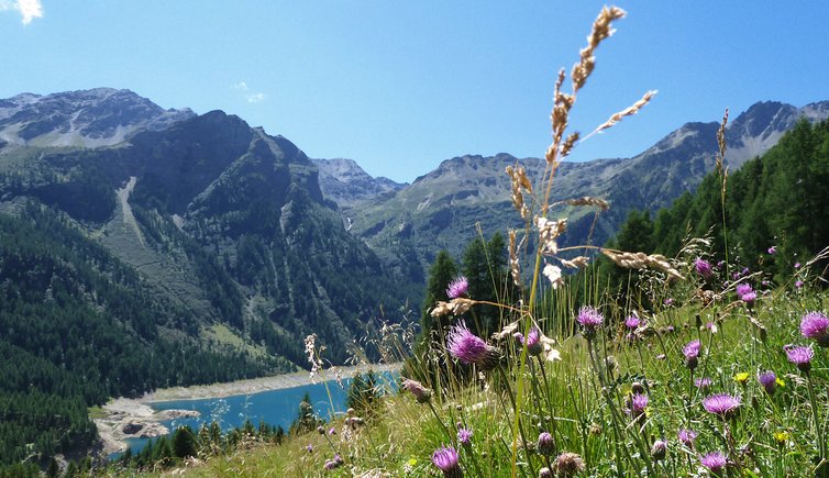
We take the cable car from Peio Fonti to the rifugio Lo Scoiattolo. Today is a beautiful summer day and only the highest peaks are still covered by morning clouds. We follow path no. 127 to Lago Covel. This pond, near the eponymous Malga Covel is situated amidst a meadow. We pass the picnic area and proceed to the crossroads with path no. 125, part of the 'Sentiero Italia" national hiking route. After the Cascata Cadini, a waterfall, we continue on the forest path no. 124 towards the Valle degli Orsi and Malga Giumela. From here we can already spot the light blue waters of Lago di Pian Palù, which we will reach soon.
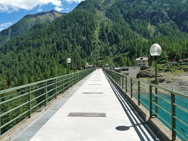
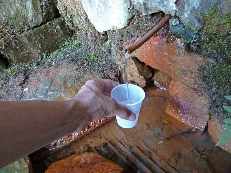
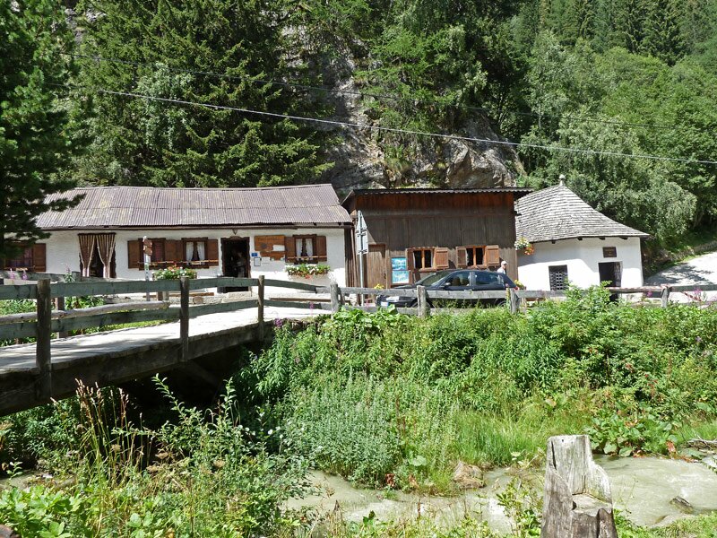
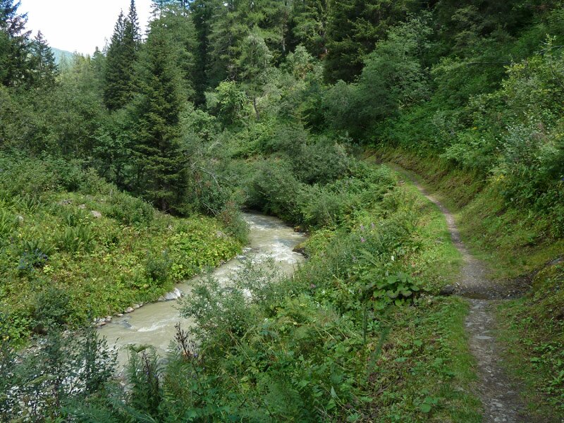
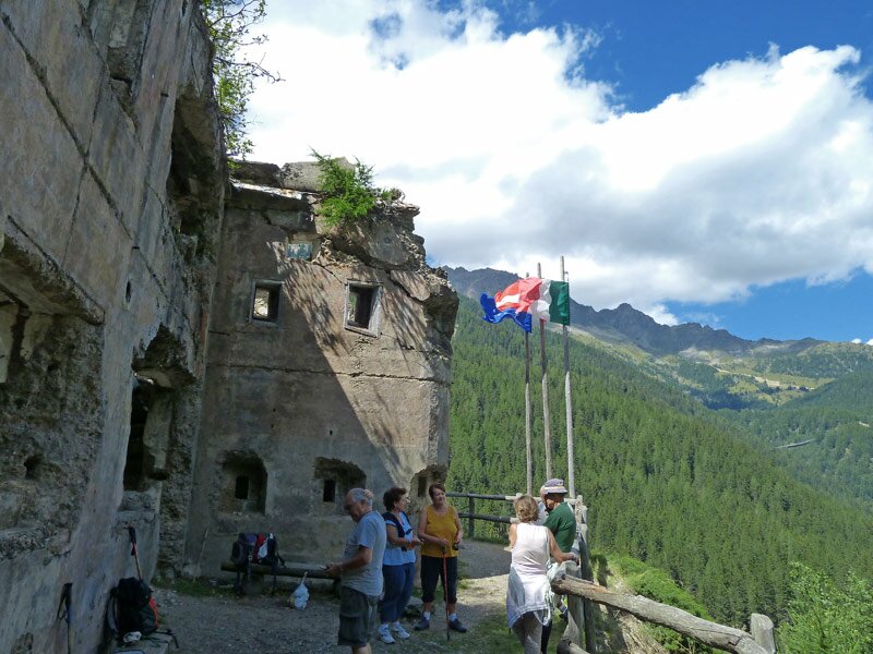
Once at this artificial lake (on path 124B), we cross the dam and walk towards Fontanino. In the vicinity of this village, known for its mineral water spring, we also find the "fontanino di Celentino", a drinking fountain where we can try mineral water directly from the spring. We continue along path no. 110 which mainly follows the stream, towards Peio Fonti. Before arriving at our final destination, we walk past Werk Barbaditor, an Austro-Hungarian fortress dating back to the Great War. The final kilometre to the village winds along an asphalt road. We have now arrived at the final destination of our hike through the forests of the Stelvio National Park.
Author: AT
-
- Starting point:
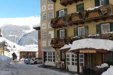
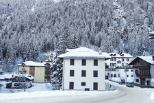
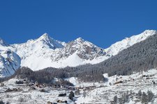
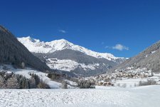
- Peio Fonti, intermediate station of the Pejo 3000 Cable Car
-
- Overall time:
- 05:10 h
-
- Total route length:
- 15,1 km
-
- Altitude:
- from 1.386 m to 1.992 m
-
- Altitude difference (uphill | downhill):
- +310 m | -886 m
-
- Route:
- Rif. Scoiattolo - Lago di Pian Palù - Peio Fonti
-
- Signposts:
- 127, 125, 124, 124B, 110
-
- Destination:
- Peio Fonti
-
- Recommended time of year:
- Jan Feb Mar Apr May Jun Jul Aug Sep Oct Nov Dec
-
- Download GPX track:
- Hike from Peio to Lake Pian Palù
If you want to undertake this hike, we recommend you to check the weather and trail conditions in advance and on site before setting out.