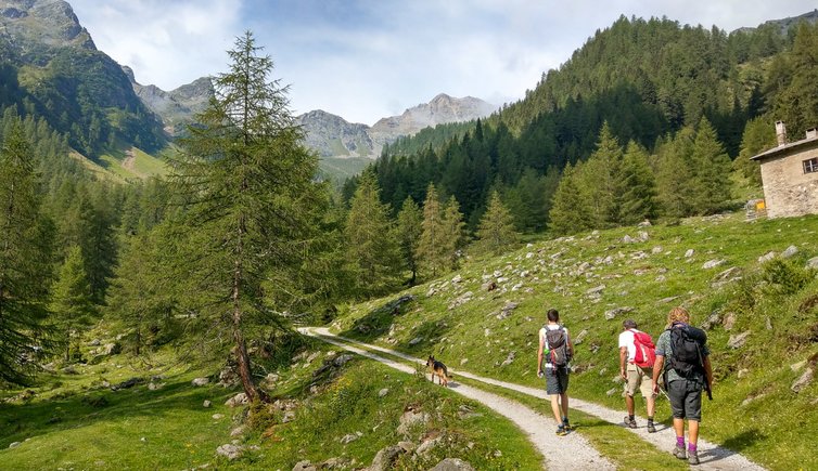
This easy ascent to Malga Stablàz/Maléda Alta is suitable for families wanting to spend a day outdoors in the lush woods and pastures of the Alta Val di Rabbi
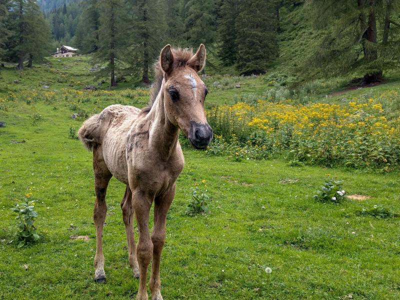
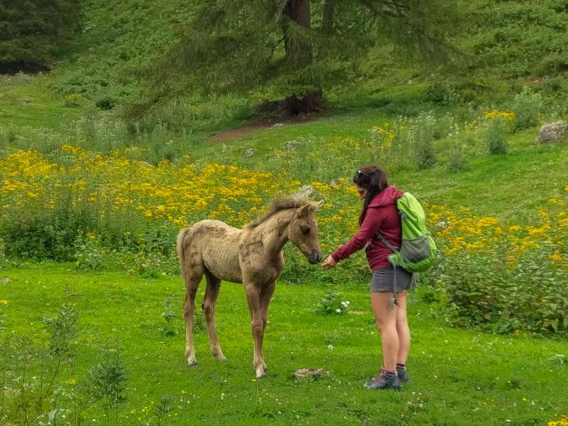
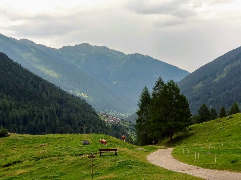
Image gallery: Hike from the Val Maléda to the Val di Rabbi

Our hike to Malga Stablàz (or Malga Maléda Alta), an untouched side valley of the Alta Val di Rabbi, begins at the Al Fontanin-Còler car park. In summer, traffic is limited here to protect the environment and ensure quietness in this part of the Parco Nazionale dello Stelvio: between 9.45 am and 5 pm the car park is reachable only by the Stelviobus Rabbi shuttle service from the paid car park Plazze dei Forni nearby the park's visitor centre in the village of Rabbi Fonti.
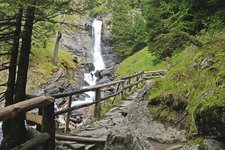
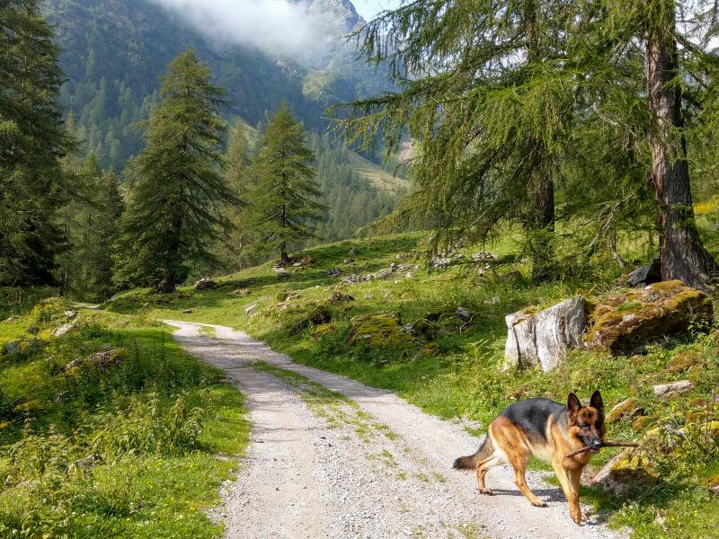
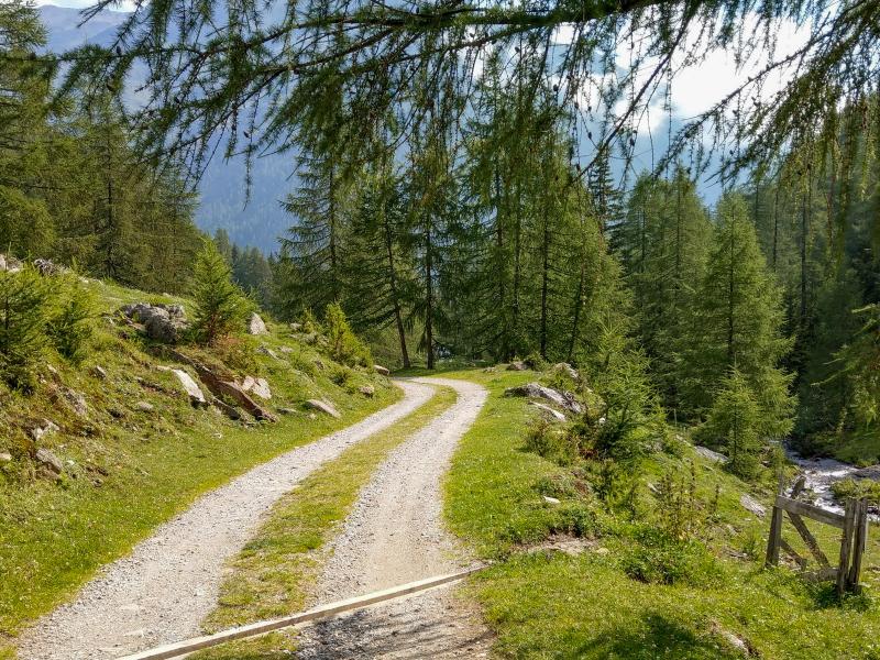
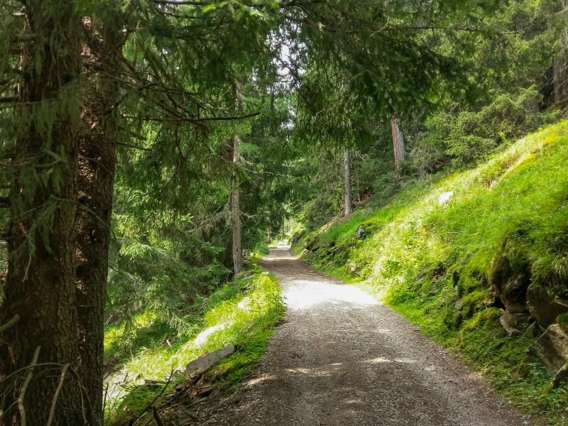
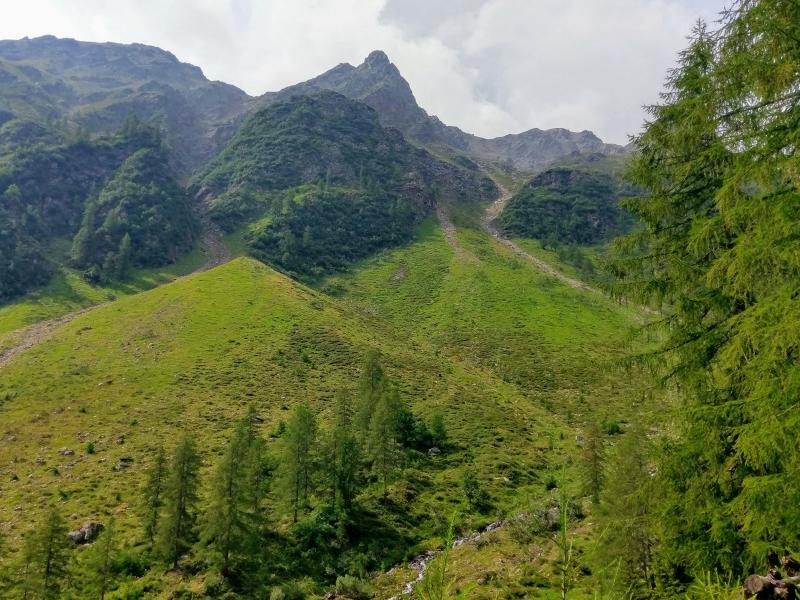
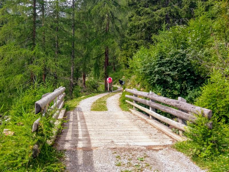
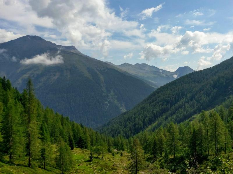
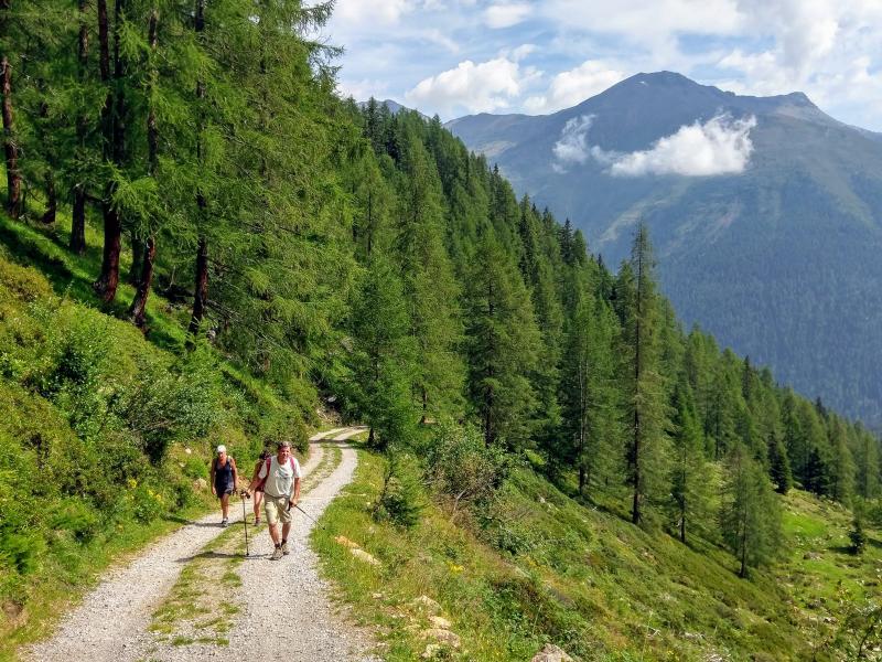
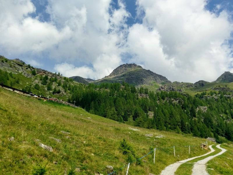
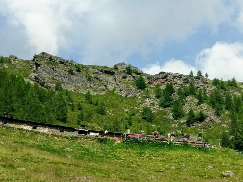
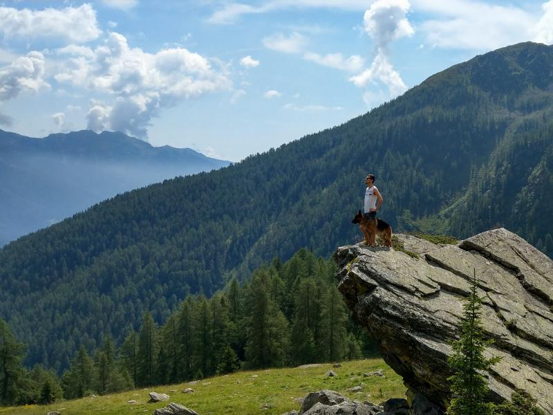
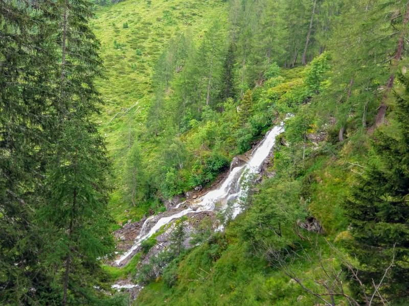
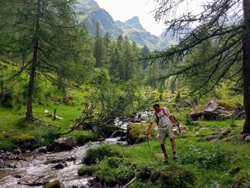
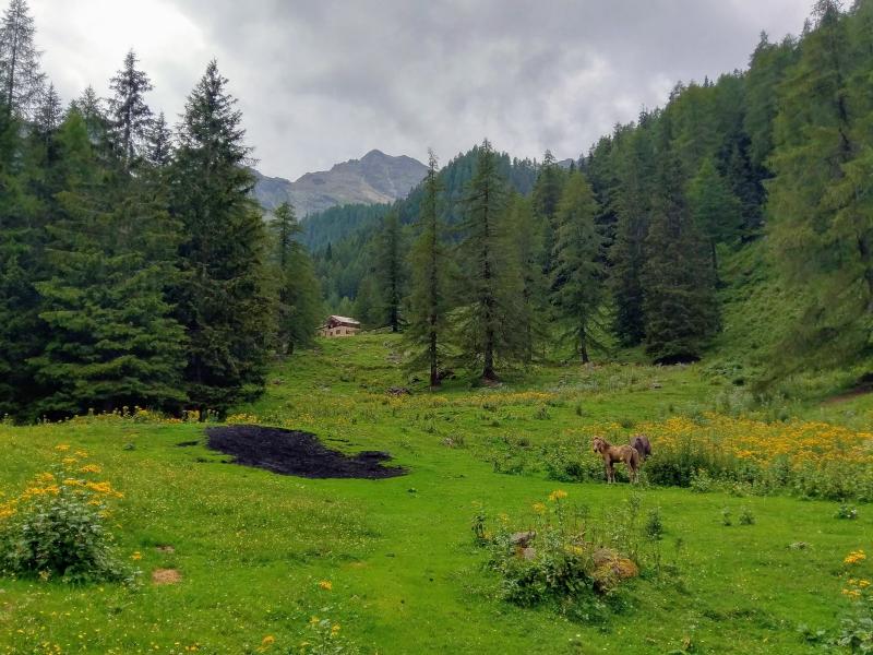
We follow the signposts for "Val Maléda" and "Malga Maléda" towards Rifugio Al Fontanin, where we enter the forests and meadows of the valley, initially on a path and then on a forest road. Halfway, we arrive at Malga Stablàz (or Maléda) Bassa, where we take a shortcut to admire the stunning waterfalls of the Ragaiolo stream. After a few hours' walk on a slightly steep terrain, we reach an altitude of 2,060 m a.s.l. and our destination for today: Malga Maléda/Stablàz Alta, a well-known refreshment area with possibility of overnight stays, as well as a beautiful panoramic spot from where you can enjoy an impressive view of the peaks overlooking the valley.
After a pleasant break at the malga, we return to the Al Fontanin-Còler car park along the same path. If weather conditions are favourable, you can take a comfortable, 3 km long deviation from Rifugio Fontanin to Malga Stablasolo (or Stablazzòl), an ideal panoramic viewpoint for admiring the well-known Cascate del Saènt waterfalls.
Please note: one of the most important hiking routes in this area, the "Via delle Malghe della Val di Sole", an over 100 km long hiking path, passes by Malga Maléda and Malga Stablasolo.
Shuttle service - summer 2024: July 6, 2024 – August 25, 2024
- Important: in July and August the car park Fontanelle - Coler is closed from 9.45 am to 5 pm. Visitors can leave their car in Plazze dei Forni and use the shuttle service to reach the Al Fontanin-Còler car park.
Author: Giacomo Roccabruna
-
- Starting point:
- Al Fontanin-Ramoni al Còler parking space in the back Val di Rabbi valley
-
- Overall time:
- 03:30 h
-
- Total route length:
- 8,2 km
-
- Altitude:
- from 1.402 m to 2.060 m
-
- Altitude difference (uphill | downhill):
- +658 m | -658 m
-
- Route:
- Al Fontanin hut – Malga Stablàz/Maléda Bassa – Malga Stablàz/Maléda Alta
-
- Resting points:
- Malga Maléda/Stablàz Alta
-
- Recommended time of year:
- Jan Feb Mar Apr May Jun Jul Aug Sep Oct Nov Dec
-
- Download GPX track:
- Hike from the Val Maléda to the Val di Rabbi
If you want to undertake this hike, we recommend you to check the weather and trail conditions in advance and on site before setting out.