Our journey of discovery leads us to the upper Valle dei Mòcheni on the slopes of the Lagorai Group
Image gallery: Hike to Mt Slimber and to the Sette Selle hut
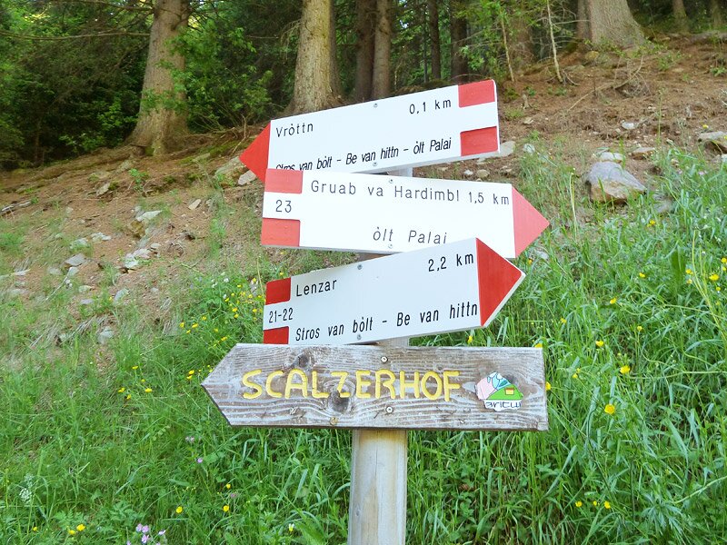
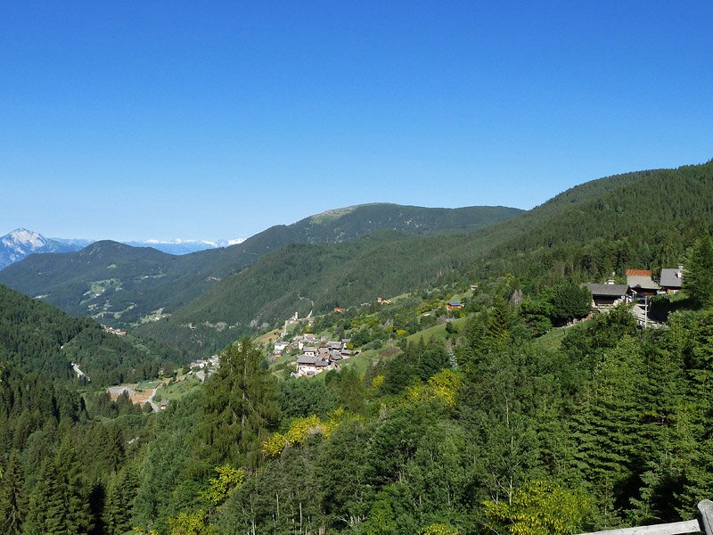
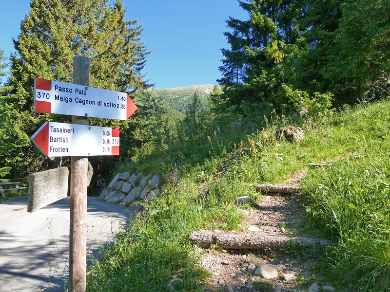
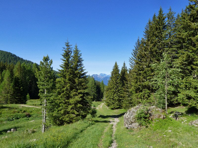
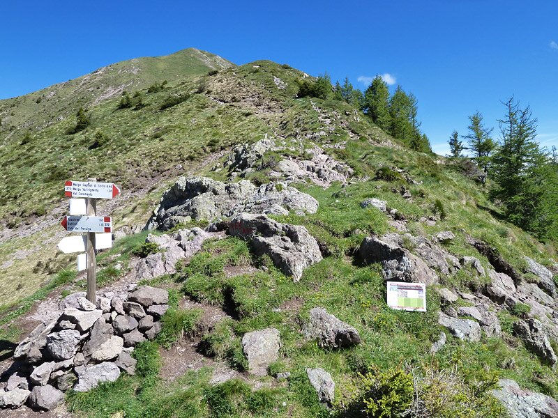
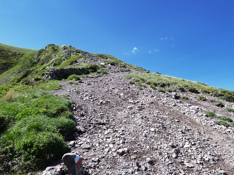
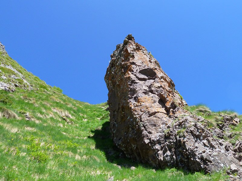
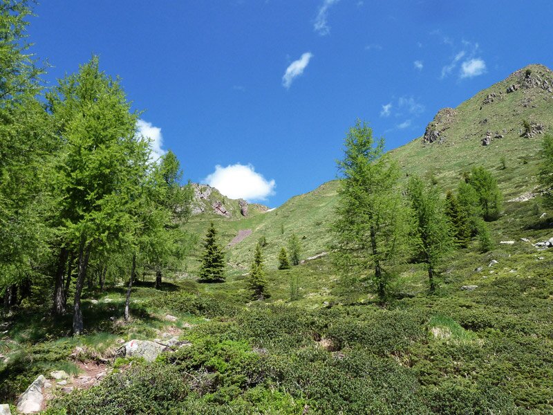
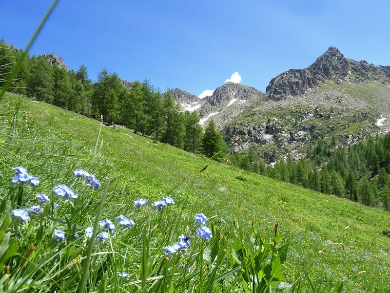
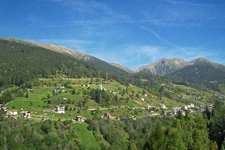
The Valle dei Mòcheni is a side valley of the Valsugana, branching off north of Pergine. It follows the course of the Fèrsina stream and at the head of the valley lies Palù del Fersina, known as "Palai im Bersntol" in Mòcheno, an old Germanic dialect of ancient origin, spoken only in this valley. From the village we follow the signposts to "Frotten", where our starting point, a paid car park, is located. Like various other alpine routes, our itinerary starts exactly from here. Once parked the car, we follow the signposts to maso Scalzerhof and then towards Auzertol and Passo Palù (path no. 370). We climb higher and higher through the forest until we reach the forest limit.
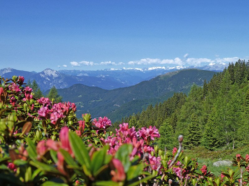
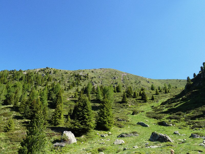
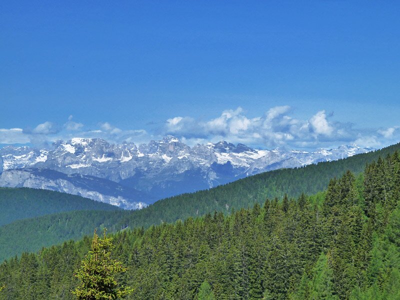
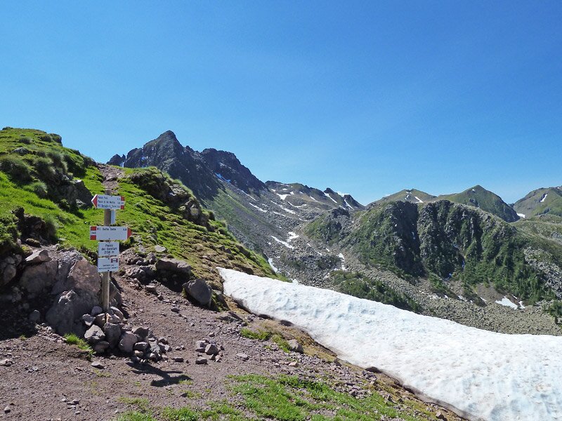
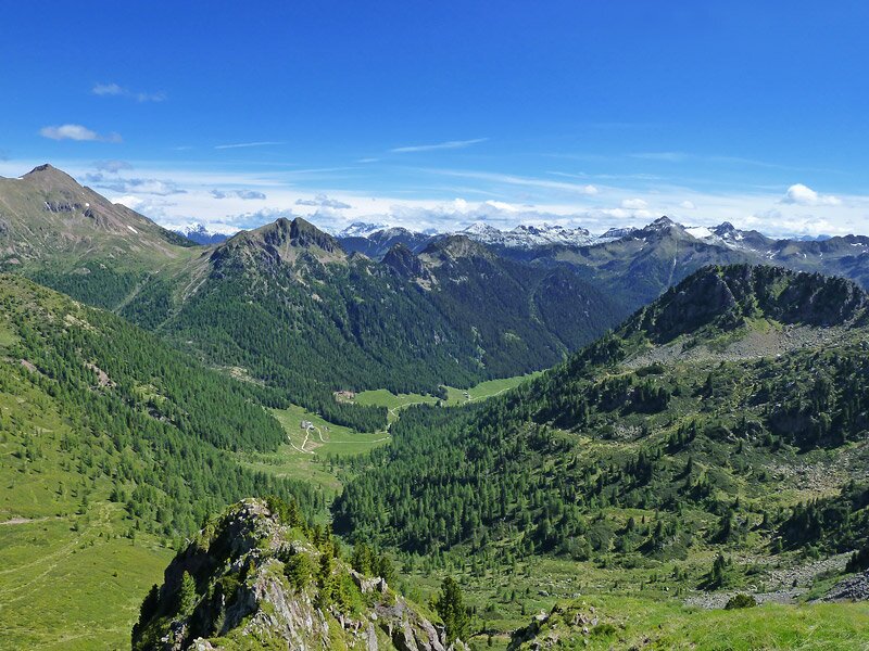
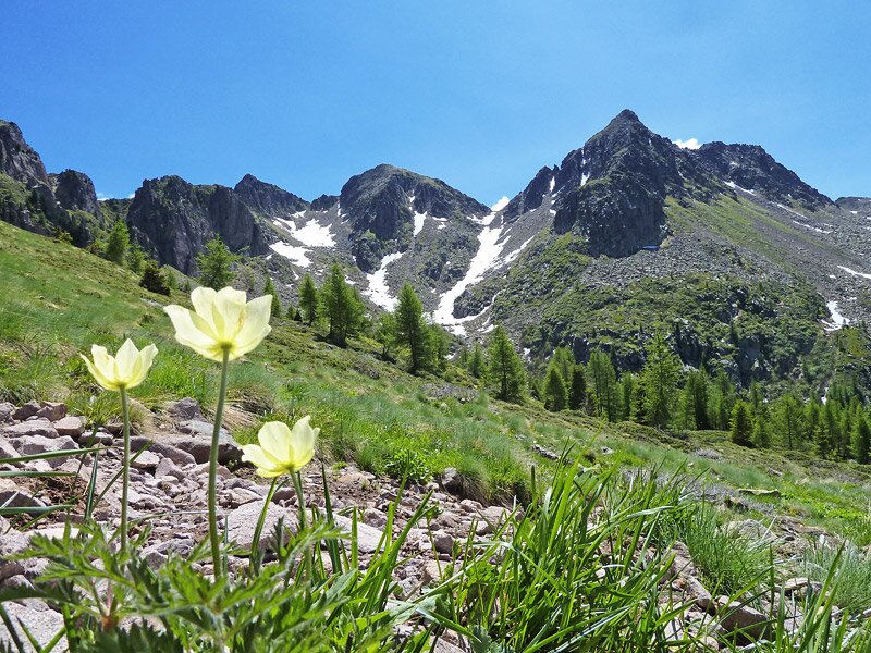
Here, we proceed on this path among blossoming rhododendrons until Passo Palù (2,070 m a.s.l.), where we follow the path on the right, ascending to Passo dei Garofani and from there to Monte Slimber (2,200 m a.s.l.). This mountain offers a stunning panoramic view, stretching from the Brenta Dolomites to Monte Baldo, the nearby Rujoch and Cima d'Ezze, and as far as the distant Dolomite peaks of the Latemar and the Marmolada group.
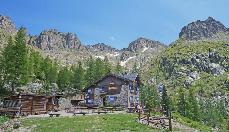
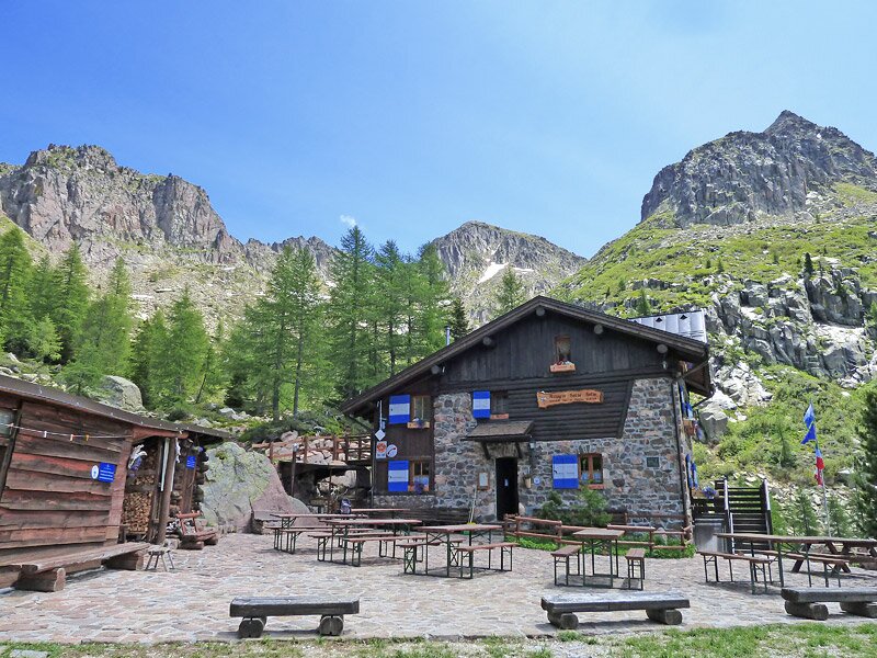
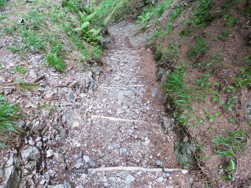
We return to Passo dei Garofani, from where we descend along the path towards rifugio Sette Selle. After a 30 minute walk we reach the welcoming mountain hut, surrounded by peaks, where we take a break. The final downhill section leads us to Croce del Laner (Valle Intertol), then through forests and the Valle di Erdemolo, taking us back to the car park.
Author: AT
-
- Starting point:
- Palù del Fersina, parking space in Vrotten (1,520 m asl)
-
- Overall time:
- 03:15 h
-
- Total route length:
- 7,2 km
-
- Altitude:
- from 1.503 m to 2.159 m
-
- Altitude difference (uphill | downhill):
- +681 m | -681 m
-
- Route:
- Vrotten - Bait de l'Ors - Auzertol - Passo Palu - Passo dei Garofani - Mt Slimber - Sette Selle mountain hut - Vrotten
-
- Signposts:
- SAT 370, 343
-
- Destination:
- Monte Slimber, Rifugio Sette Selle mountain hut
-
- Resting points:
- Rifugio Sette Selle
-
- Recommended time of year:
- Jan Feb Mar Apr May Jun Jul Aug Sep Oct Nov Dec
-
- Download GPX track:
- Hike to Mt Slimber and to the Sette Selle hut
If you want to undertake this hike, we recommend you to check the weather and trail conditions in advance and on site before setting out.