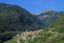
Val Daone, with its lakes, branches off to the west along the upper course of the Chiese river and extends in the mountain world of the Adamello Group. The Val di Fumo, an alpine moorland, forms the end of the Val Daone
Image gallery: Hike to the Val di Fumo mountain hut
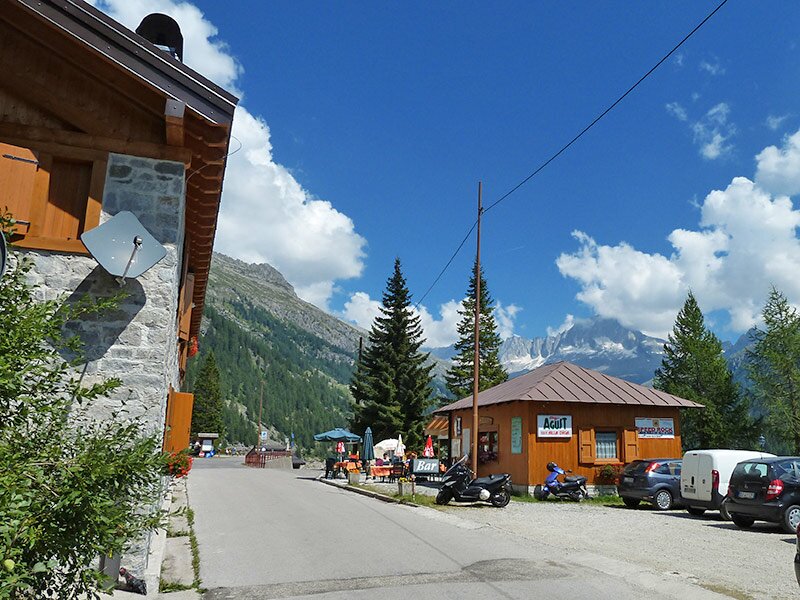
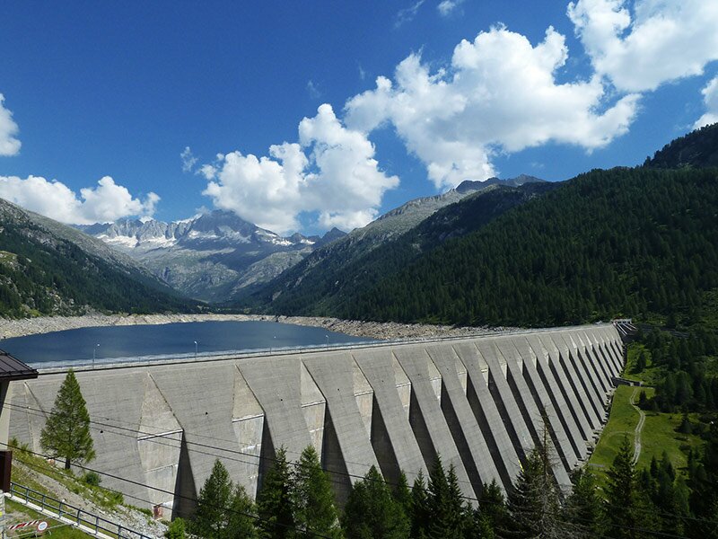


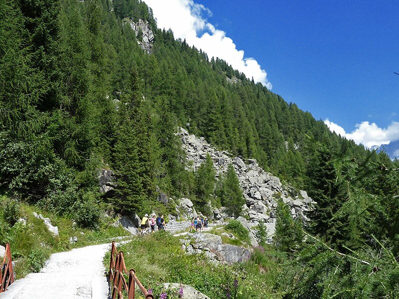
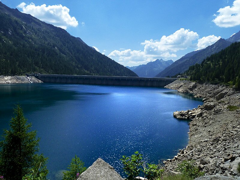
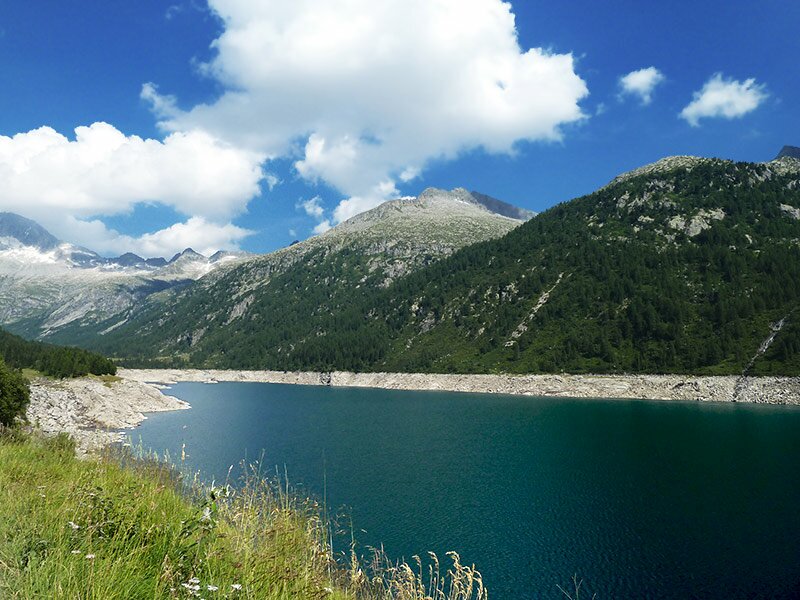
We drive to Daone where a narrow road leads uphill past Lago di Malga Boazzo and the restaurant Da Pierino to the car park of the Bar alla Diga at 1,790 m a.s.l. In front of us stands the imposing dam of the Lago di Malga Bissina, which we pass along its western side before continuing to Malga Breguzzo. Once arrived at the malga, we follow signpost no. 240 towards the rifugio Val di Fumo.
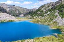
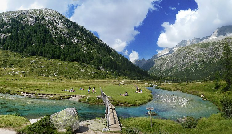
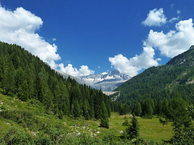
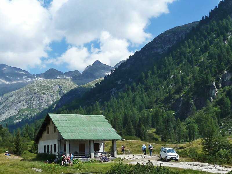
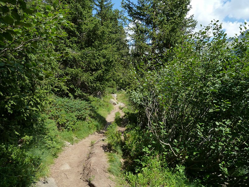
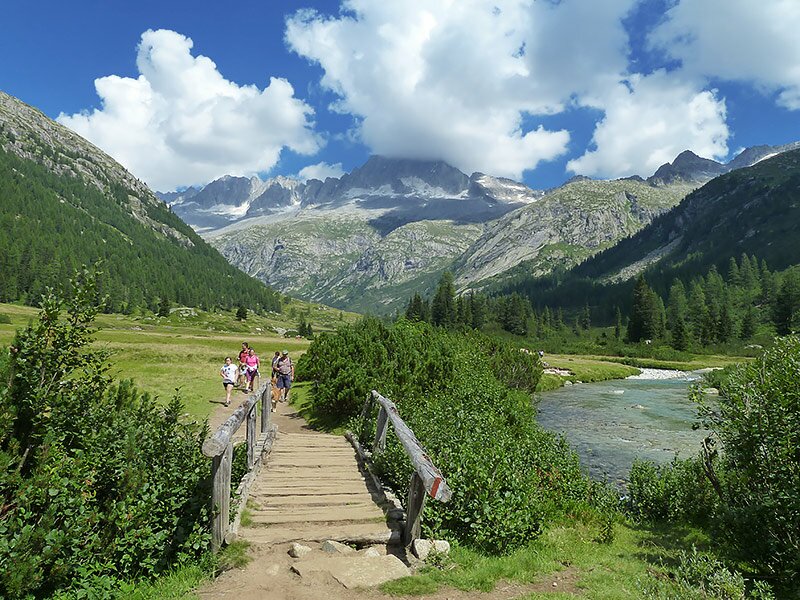
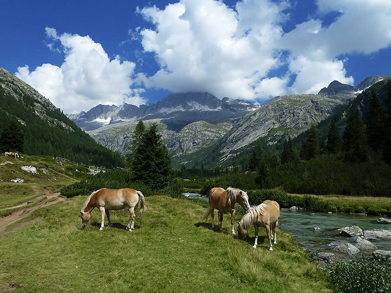
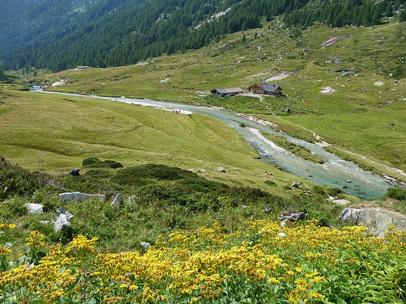
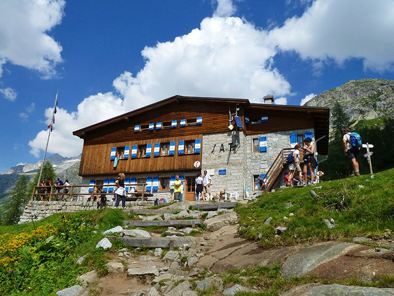
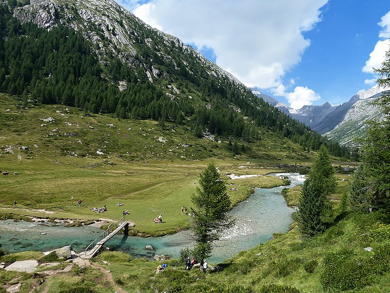
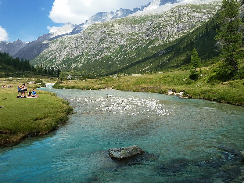
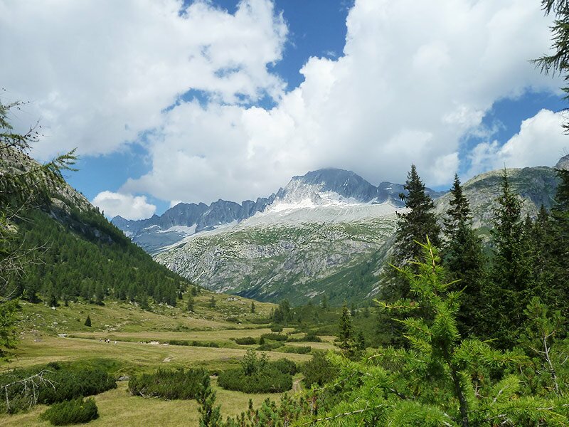
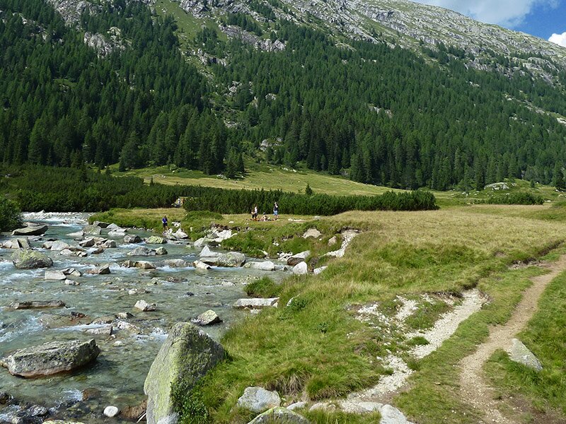
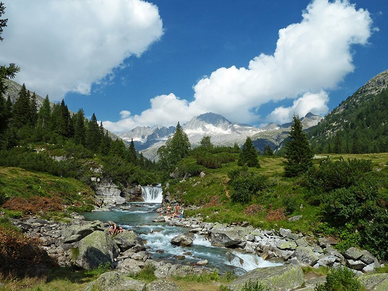
You can walk along either the left or right side of the valley. The amazing, untouched high-alpine moorlands spread through the Val di Fumo. We only have to cover 200 metres of elevation gain, which means we can fully enjoy the landscape. Below, the Chiese river shines in shades of turquoise and the snow-capped peaks of the Adamello Group are recognisable in the background, including Carè Alto, Corno di Vigo and Crozzon di Lares. We reach Malga Val di Fumo and the eponymous mountain hut right above it with surprising ease. After a pleasant break, we return by the same path.
Author: AT
-
- Starting point:
- parking space at the upper artificial lake (Lago di Malga Bissina)
-
- Overall time:
- 03:40 h
-
- Total route length:
- 12,3 km
-
- Altitude:
- from 1.784 m to 1.920 m
-
- Altitude difference (uphill | downhill):
- +170 m | -170 m
-
- Signposts:
- 240, Rifugio Val di Fumo
-
- Destination:
- Rifugio Val di Fumo
-
- Resting points:
- Rifugio Val di Fumo
-
- Recommended time of year:
- Jan Feb Mar Apr May Jun Jul Aug Sep Oct Nov Dec
-
- Download GPX track:
- Hike to the Val di Fumo mountain hut
If you want to undertake this hike, we recommend checking the weather and trail conditions in advance and on site before starting this hike!