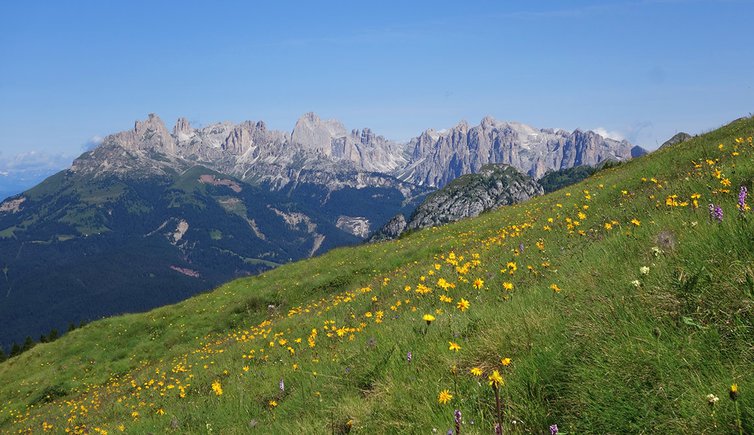
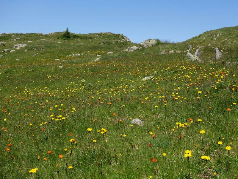
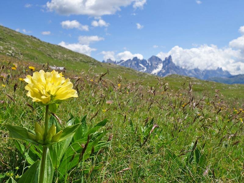
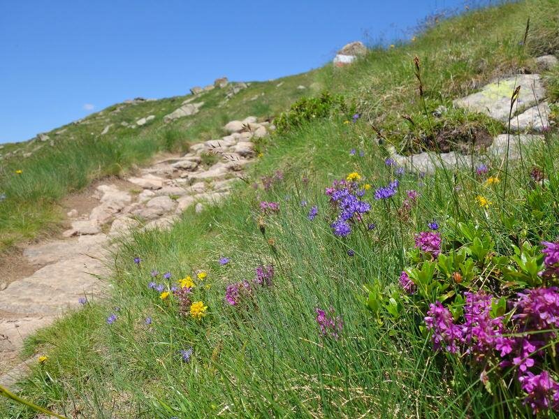
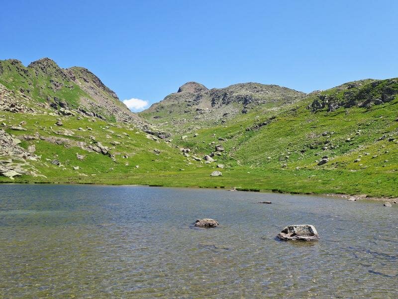
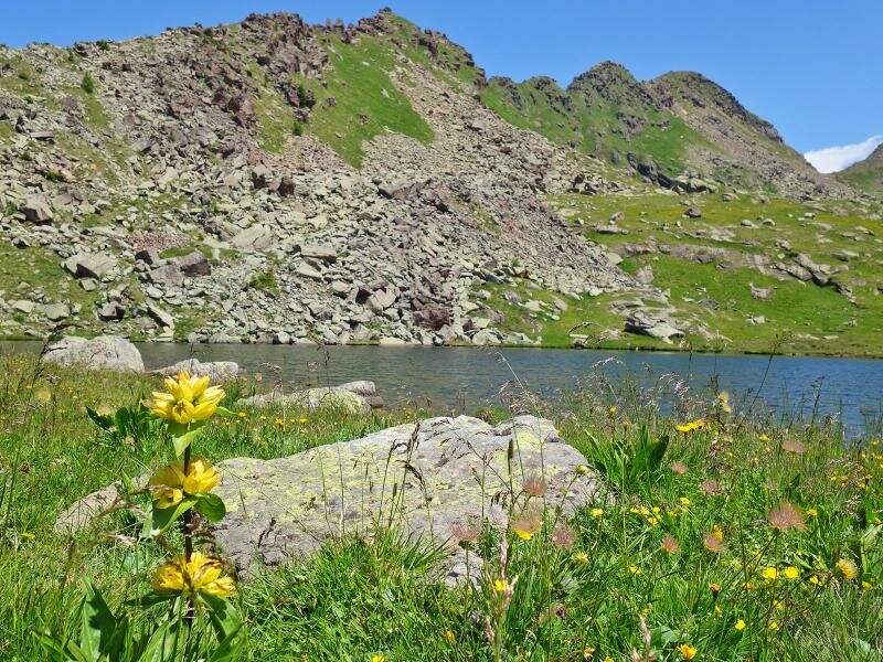
We walk across blooming alpine pastures to the final destination of our hike: the alpine lake Lago di Lusia
Image gallery: Hike across the Lusia Alp
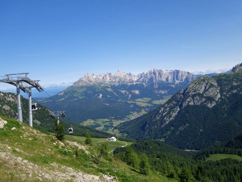
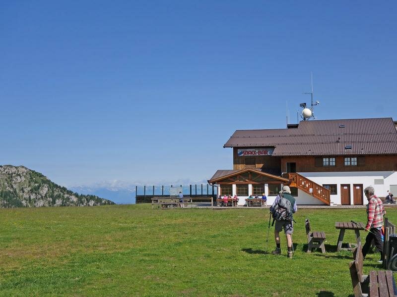
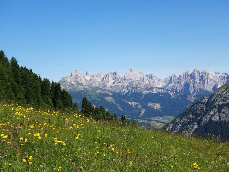
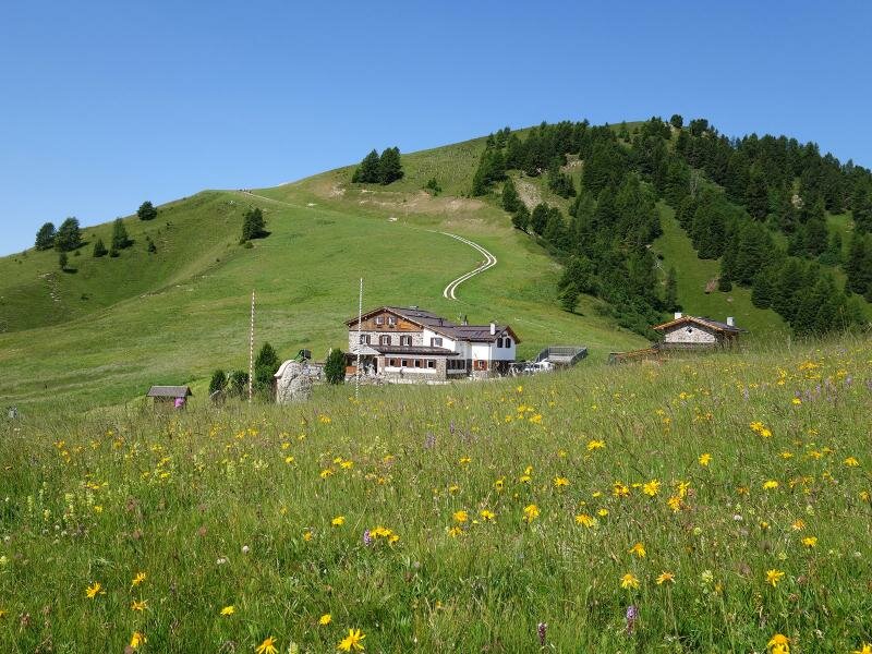
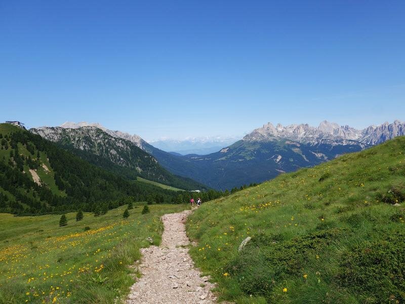

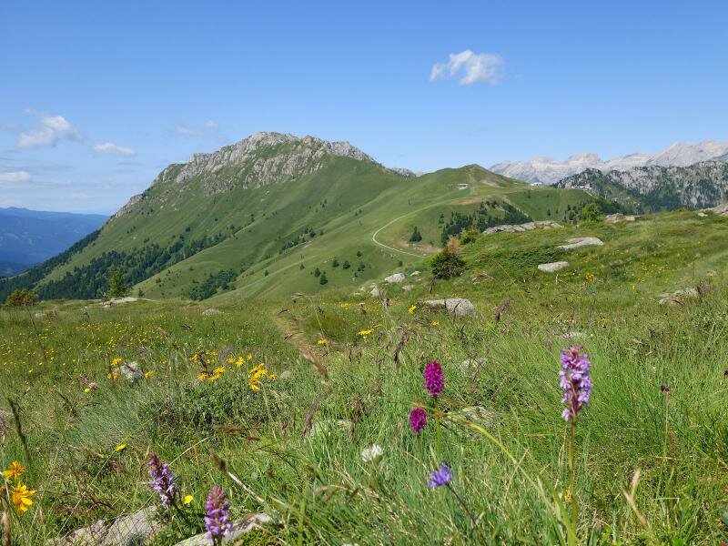
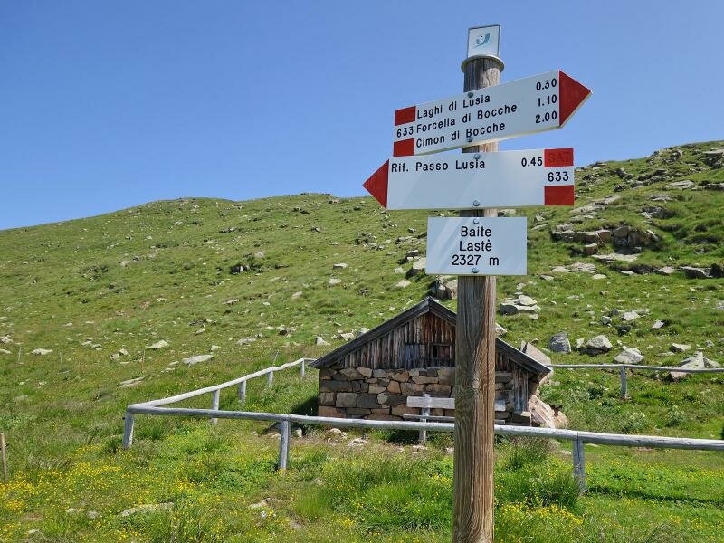
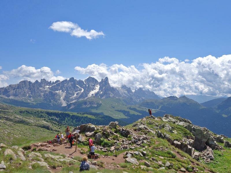
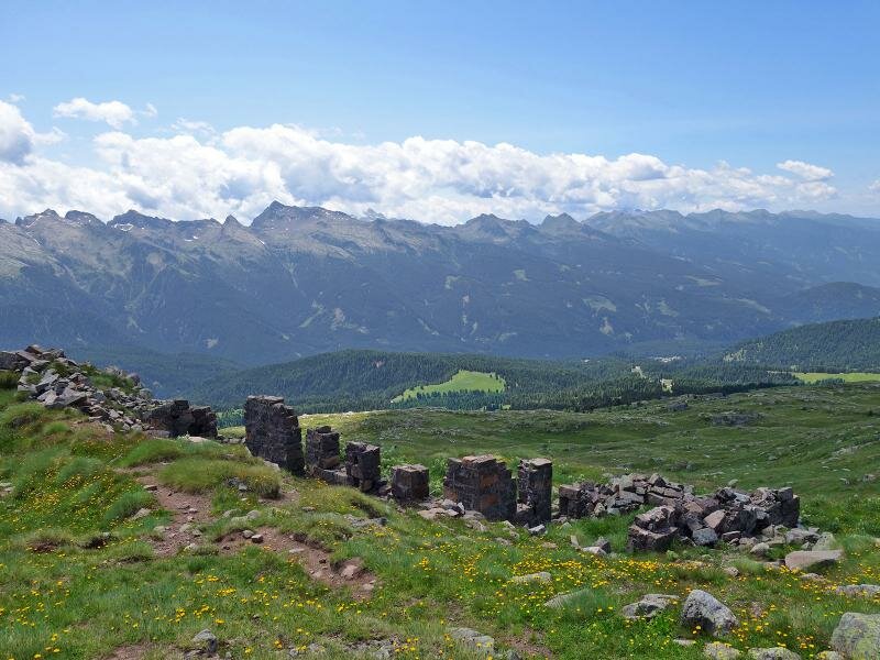
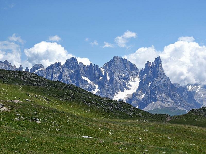
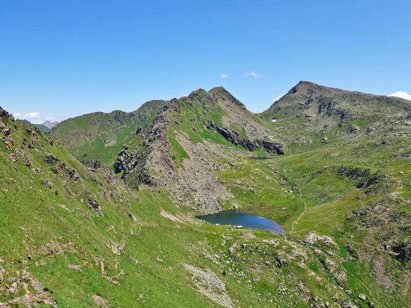
We take the "Le Cune" cable car from the Valle di San Pellegrino near Moena to the mountain station, where we begin our hike. From the panoramic viewpoint, which delights us with a fantastic view of the Dolomites, we descend the steep path no. 614 to Passo Lusia, with the eponymous mountain hut. We continue on path no. 633 and ascending to the Lastè hut and then to the "Trincea" at 2,425 m a.s.l. where we can admire the remains of trenches built and used during World War I. From here, we walk downhill to Lago di Lusia.
Once there, you can take the Via Ferrata Gronton (signpost no. 634) at the eponymous shelter at 2,545 m a.s.l., from where you can see the nearest lakes. You should allow an extra 90 minutes for this optional route. To return, we follow paths no. 633 and 614 and from Lago di Lusia we take the same path back down. The view on the Catinaccio, the Lagorai, the Pala group and the Marmolada massif is amazing!
Author: AT
-
- Starting point:
- Le Cune (mountain station of the Lusia Cable Car)
-
- Overall time:
- 03:40 h
-
- Total route length:
- 9,1 km
-
- Altitude:
- from 2.051 m to 2.411 m
-
- Altitude difference (uphill | downhill):
- +558 m | -558 m
-
- Signposts:
- 614, 633
-
- Destination:
- Lake Lago di Lusia
-
- Resting points:
- Rifugio Passo di Lusia
-
- Recommended time of year:
- Jan Feb Mar Apr May Jun Jul Aug Sep Oct Nov Dec
-
- Download GPX track:
- Hike across the Lusia Alp
If you want to undertake this hike, we recommend you to check the weather and trail conditions in advance and on site before setting out.