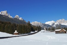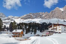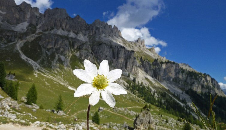
Our hike at over 2,000 metres leads from Ciampedie to rifugio Paolina, between Vigo di Fassa and Passo di Costalunga
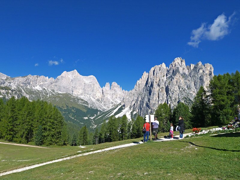
Image gallery: Hike below the Catinaccio summits
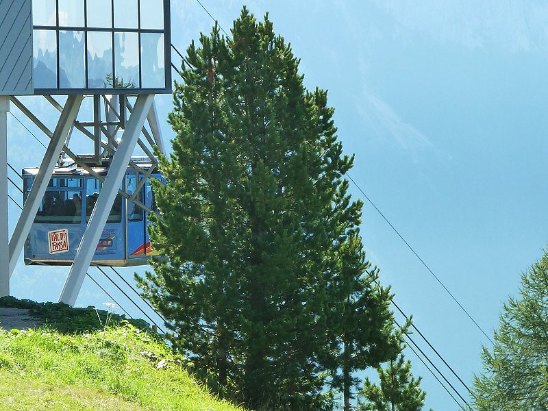
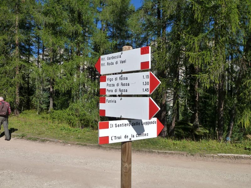
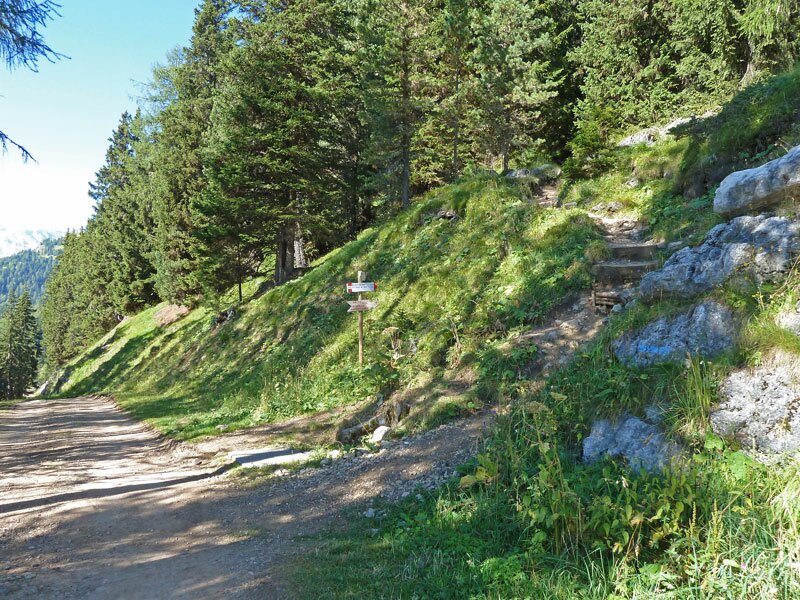
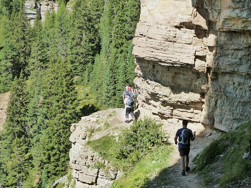
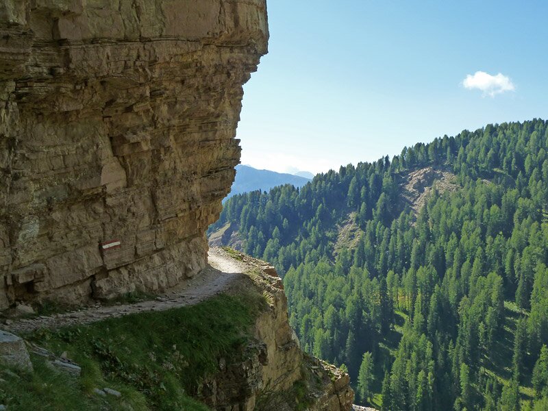
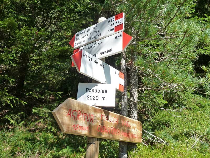
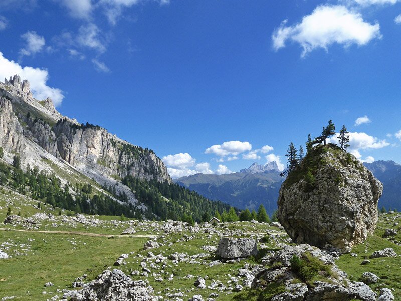
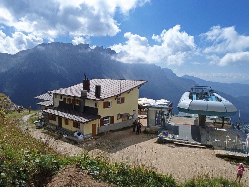
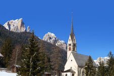
We take the Catinaccio cable car from Vigo di Fassa to the meadows of this small high plateau at 2,000 m a.s.l., above the entrance to the Val di Vajolet. Path no. 545 heads south, passing Rifugio Negritella. After crossing a forest, the path skirts some rocky walls before reaching the meadows above Malga Vael. However, we don't follow the signposts to the Malga but to the higher-located rifugio di Vael.
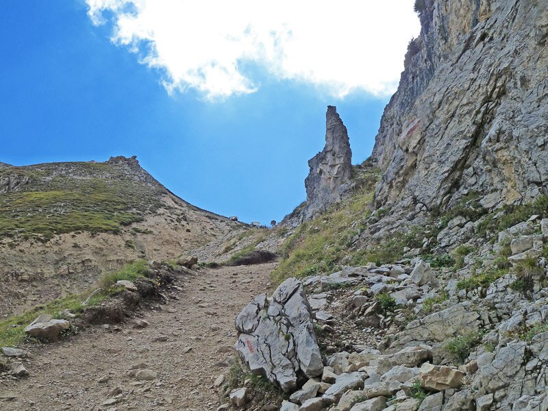
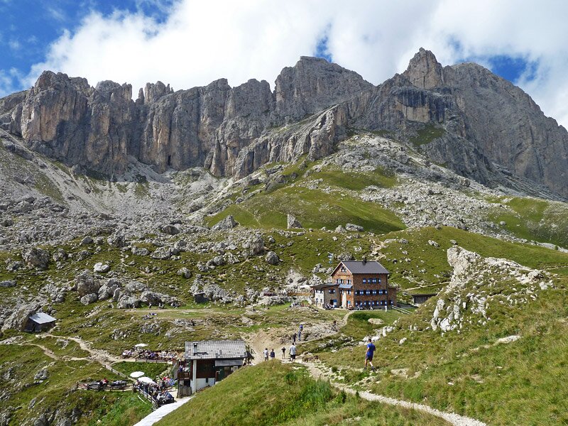
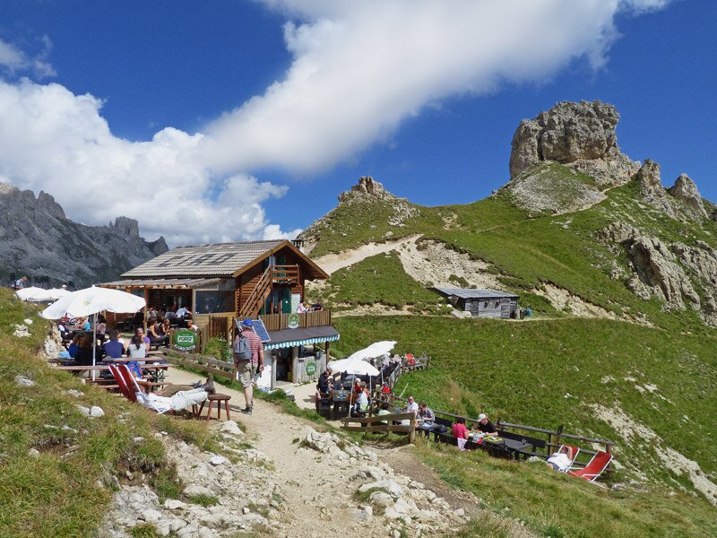
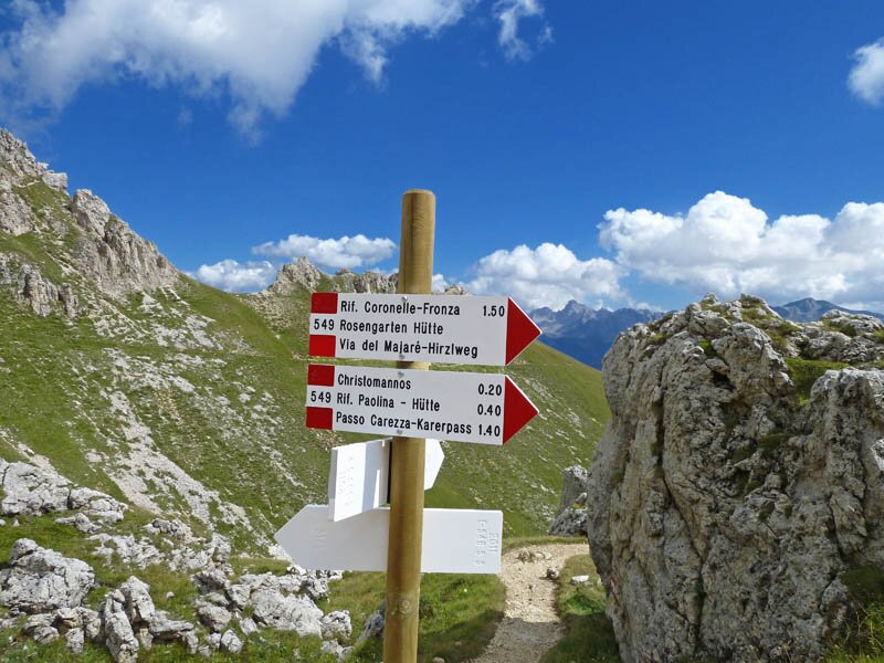
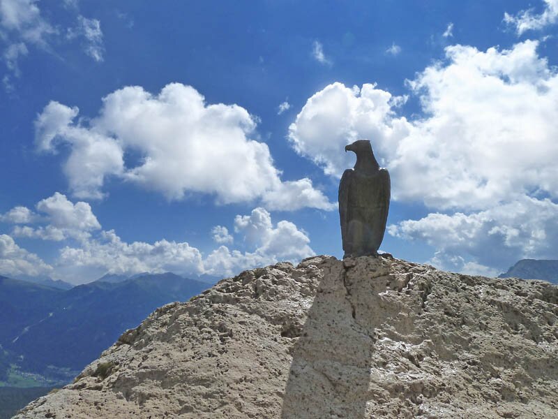
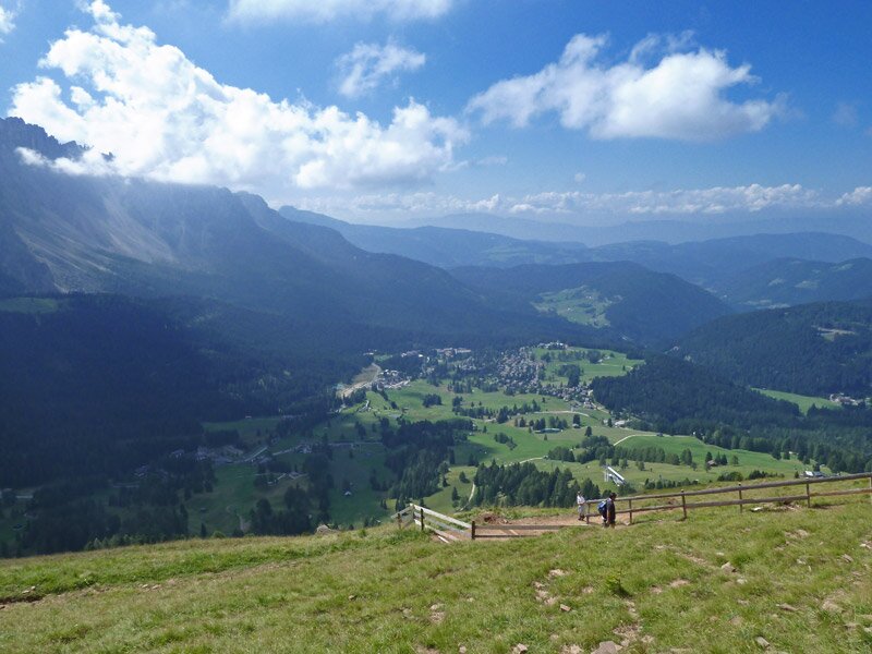
The final section of this itinerary to the mountain hut is the only steep climb of the entire hike, making us sweat. The mountain hut and the nearby Baita Marino Pederiva are situated at 2,280 m a.s.l., the highest point of our tour, right below Cima Roda di Vael (2,806 m a.s.l.). After a short break, we continue on SAT path 549 towards rifugio Paolina. Below us lies Passo di Costalunga. Here, a gigantic bronze eagle watches over the Catinaccio: this statue was realised in memory of Theodor Christomannos, one of the pioneers of Alpine tourism in the Dolomites. We are almost at rifugio Paolina (path no. 539) which is above Nova Levante and Carezza, on the Southtyrolean side of the Catinaccio. You can return to the starting point either by taking the same path or by using the Paolina cable car to Carezza and then catching a bus from there to Vigo di Fassa.
Author: AT
-
- Starting point:
- Catinaccio Cable Car mountain station (Vigo di Fassa)
-
- Overall time:
- 02:10 h
-
- Total route length:
- 5,7 km
-
- Altitude:
- from 1.965 m to 2.290 m
-
- Altitude difference (uphill | downhill):
- +356 m | -184 m
-
- Signposts:
- SAT 545, 549, 539
-
- Destination:
- Paolina chair lift mountain station
-
- Resting points:
- Ristorante Bellavista, Rifugio Ciampedie, Rifugio Baita Checco, Rifugio Negritella, Rifugio Roda di Vael, Rifugio Pederiva, Rifugio Paolina
-
- Recommended time of year:
- Jan Feb Mar Apr May Jun Jul Aug Sep Oct Nov Dec
-
- Download GPX track:
- Hike below the Catinaccio summits
If you want to undertake this hike, we recommend you to check the weather and trail conditions in advance and on site before setting out.