On the border between South Tyrol and Trentino, more precisely between the Val d’Ultimo and the Valle di Bresimo, this hike to the Laghi Trenta offers wonderful views
Image gallery: Hike from the Valle di Bresimo to Lake Trenta
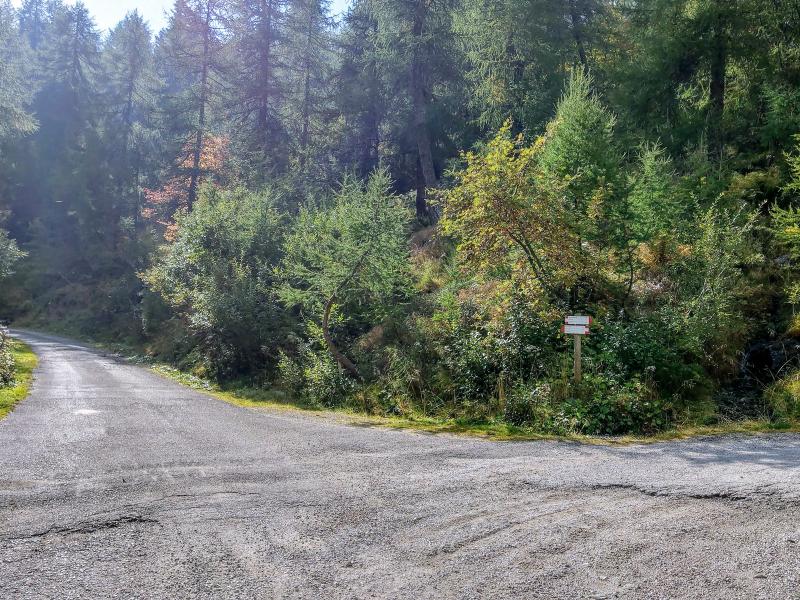
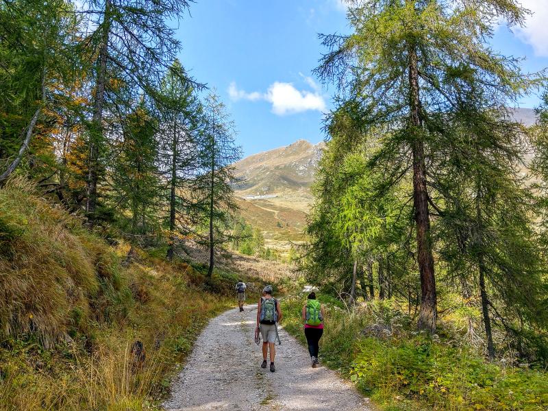
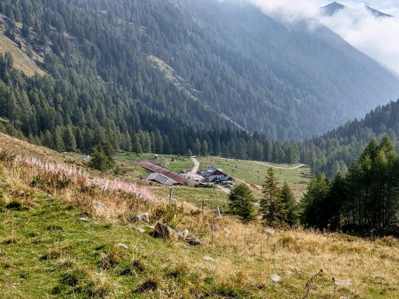
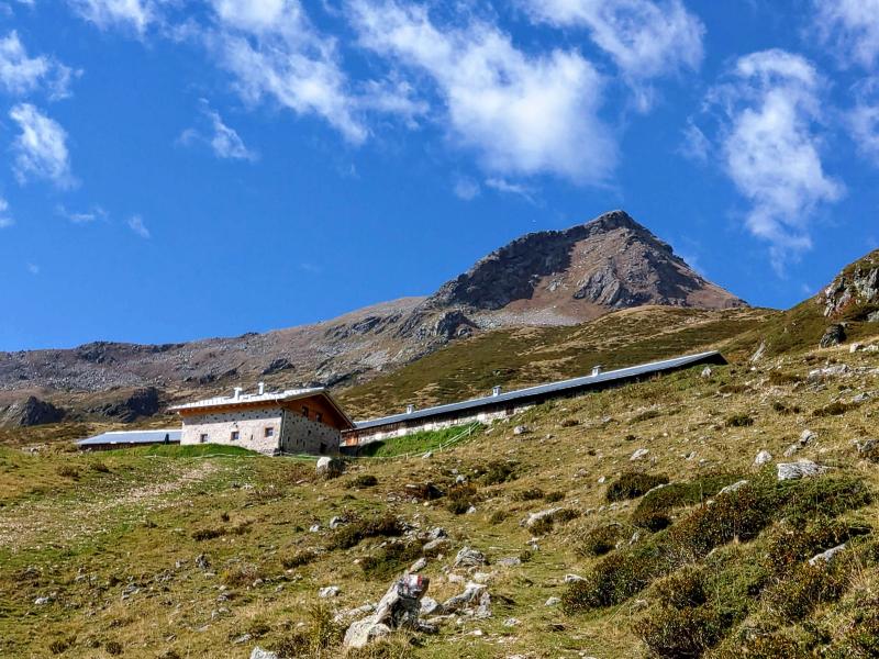
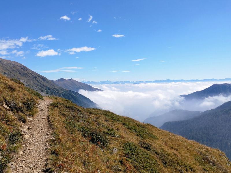
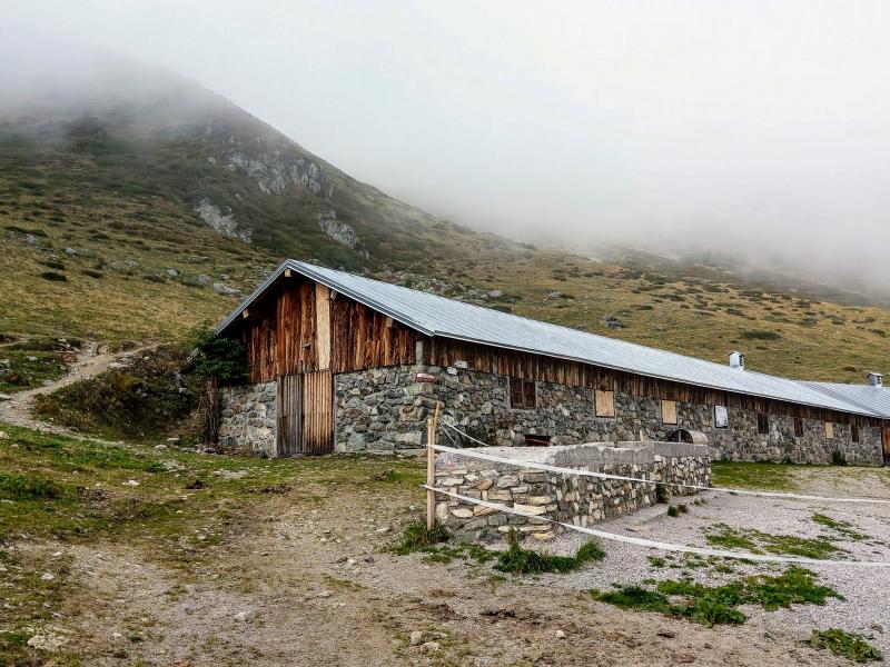
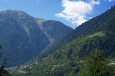
Our summer hike in the Maddalene Group starts at the car park of Malga Bordolona di Sotto at 1,806 m a.s.l., 8 km from the village of Bresimo, the only restaurant along this itinerary. We warm up properly by walking along the slope towards Malga Bordolona Alta (or Malga Bordolona di Sopra) on the comfortable forest path instead of choosing the more direct path no. 136, which we take only at the third serpentine.
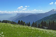
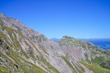
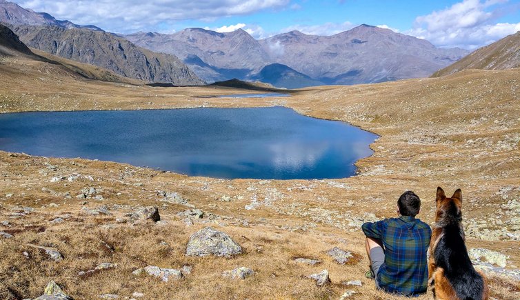
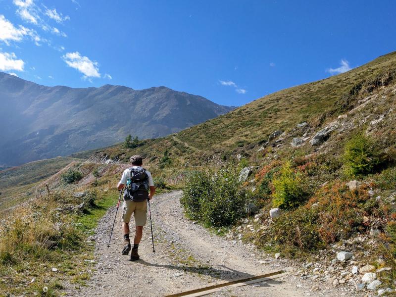
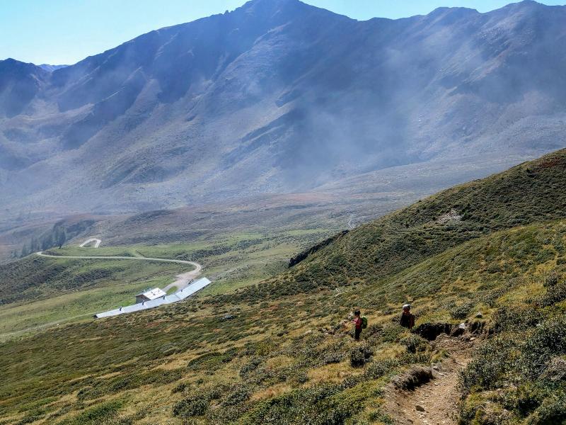
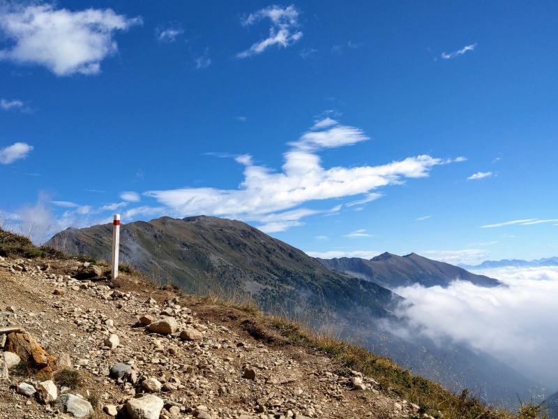
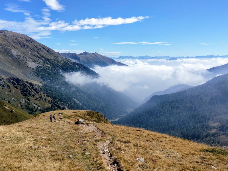
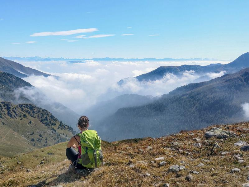
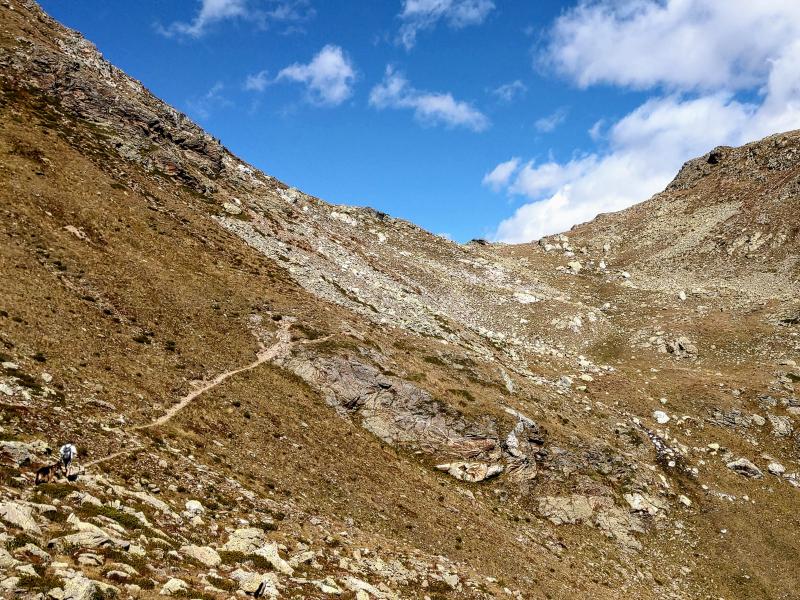
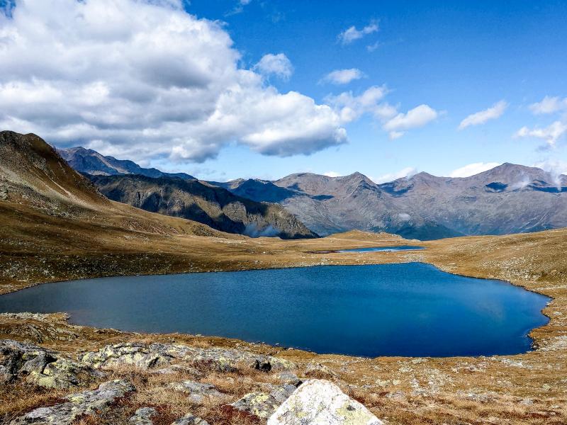
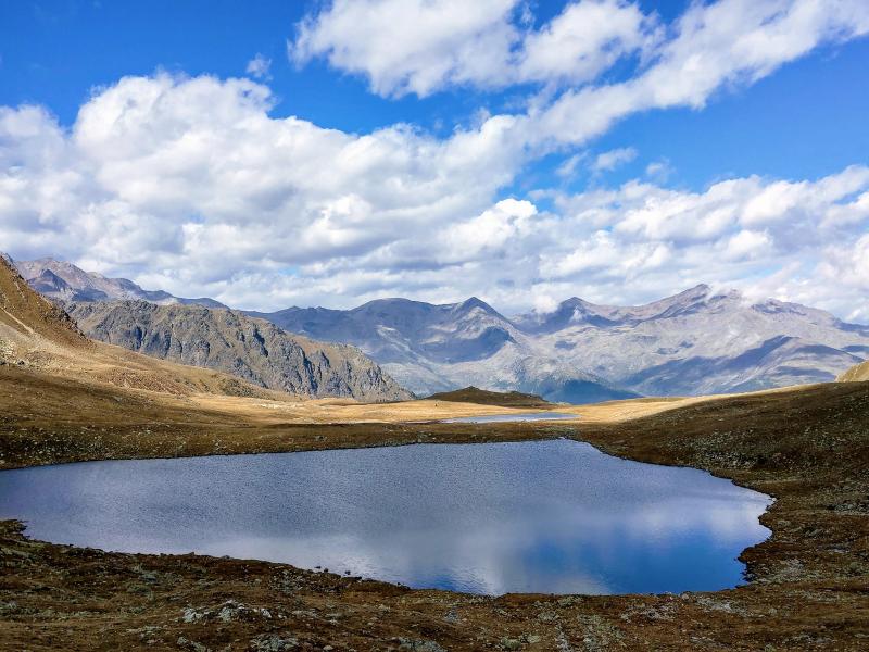
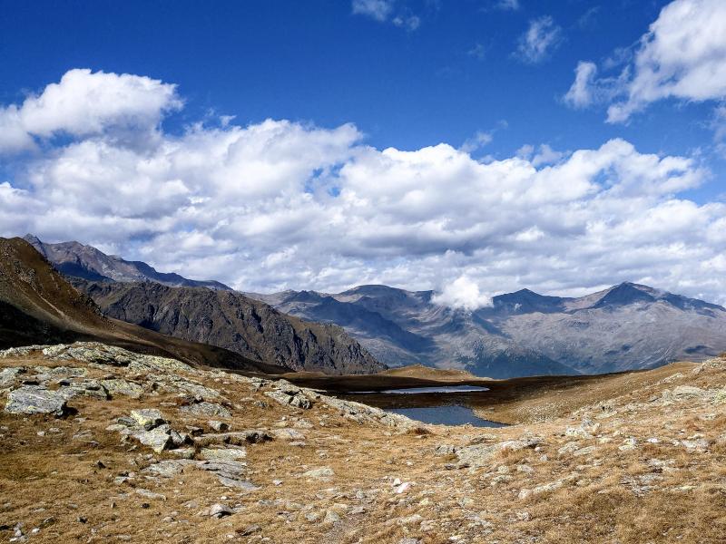
At Malga Bordolona Alta (2,084 m a.s.l.), a junction where numerous routes to the Valle di Bresimo, Val di Rabbi and the South Tyrolean Val d'Ultimo begin, we continue north to Passo Alplahner, climbing the sunny, grassy slopes of the Valle del Vento. The view of the Valle di Bresimo and the distant Dolomites is still foggy but nonetheless rewards our efforts. After an hour's walk, we conquer the 2,424 m high pass. Now we are in the Province of Bolzano. Before us, the piana tre Laghi Trenta, with Lago Trenta (2,387 m a.s.l.) being the largest one and well-known for offering a fantastic view of the left side of the Val d'Ultimo. We take a break to enjoy the peacefulness and calmness, as well as the colours of this natural gems, from the vivid blue of the lake to the ochre of the high alpine meadows in late September. We return on the same path.
If you want to complete an interesting circular route, you need to add an hour of walking without difficult climbs, you can continue beyond the Laghi di Trenta, go around the majestic Cima Trenta (Welscher Berg, 2,636 m a.s.l.) and descend to the Valle di Bresimo via the Passo di Val Clapa (Klapfbergjoch, 2,296 m) and the two malghe Scalét.
Author: Giacomo Roccabruna
-
- Starting point:
- Malga Bordolona di Sotto, Bresimo
-
- Overall time:
- 03:40 h
-
- Total route length:
- 9,0 km
-
- Altitude:
- from 1.806 m to 2.425 m
-
- Altitude difference:
- +650 m | -650 m
-
- Signposts:
- forest path to the Malga Bordolona di Sopra, no. 136
-
- Destination:
- Lake Trenta
-
- Resting points:
- Malga Bordolona di Sotto
-
- Recommended time of year:
- Jan Feb Mar Apr May Jun Jul Aug Sep Oct Nov Dec
-
- Download GPX track:
- Hike from the Valle di Bresimo to Lake Trenta
If you want to do this hike, we suggest you to check the weather and trail conditions in advance and on site before setting out.