A long and quite demanding hike takes us from the hamlet of Santel up to the peak of the Paganella, a gorgeous panoramic mountain in the heart of Trentino
Image gallery: Hike from Santel to the Paganella Peak
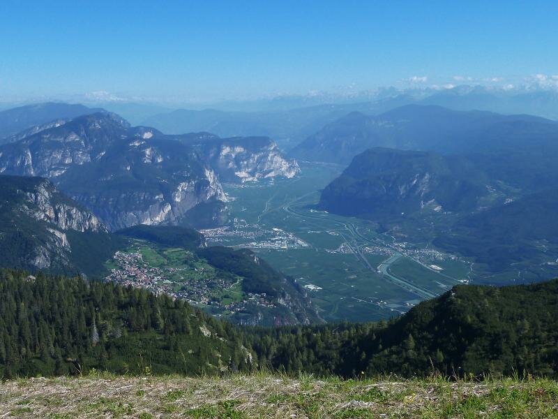
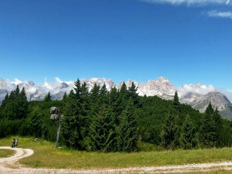
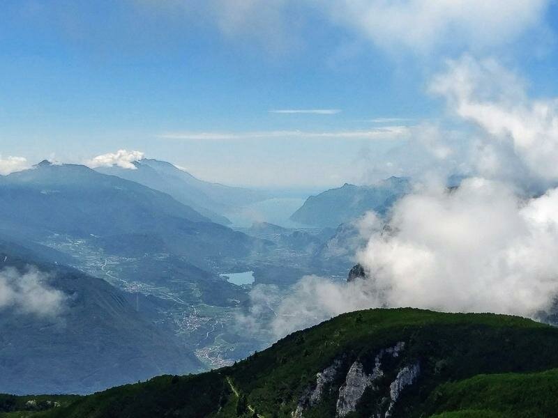
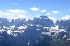
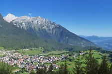
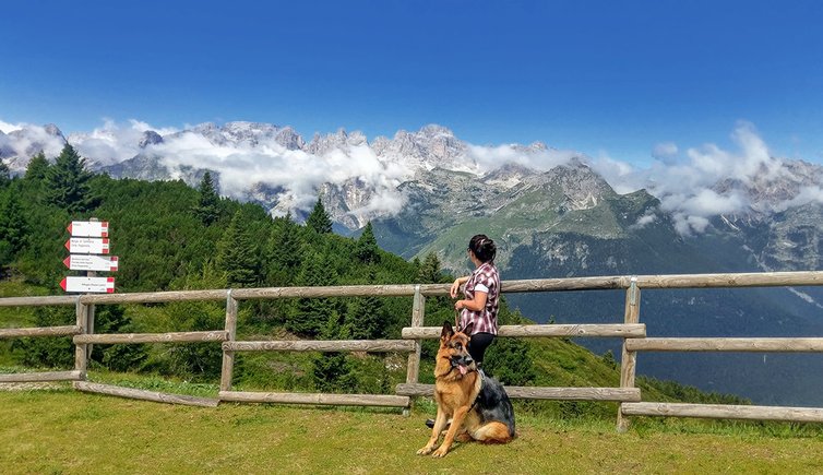
The Altopiano della Paganella boasts an extensive network of itineraries, among the most comprehensive in the Alps. Cima Paganella delights visitors with a truly remarkable. Indeed, the vast 360° view includes all the north-eastern mountain massifs and allows a stunning view of the entire Brenta Dolomites Group and Lake Garda.
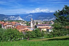
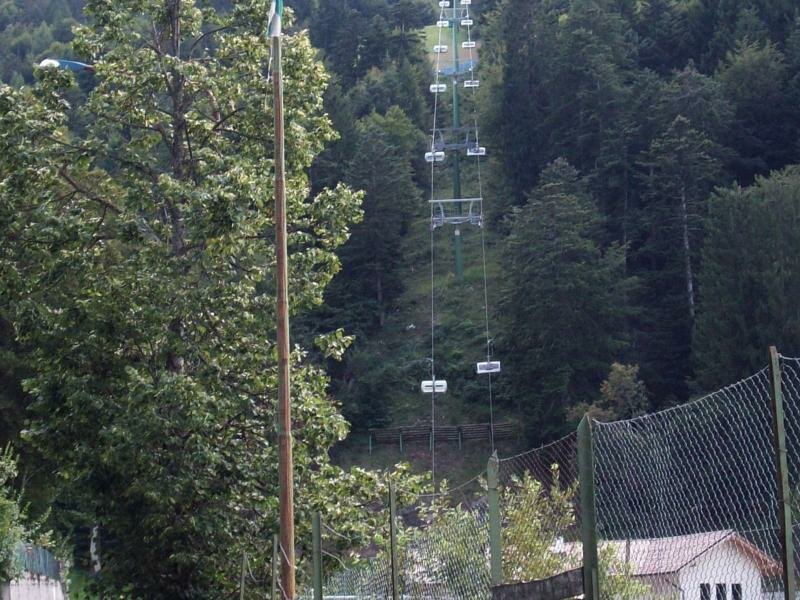
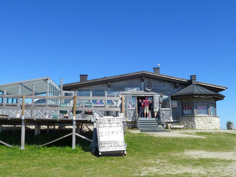
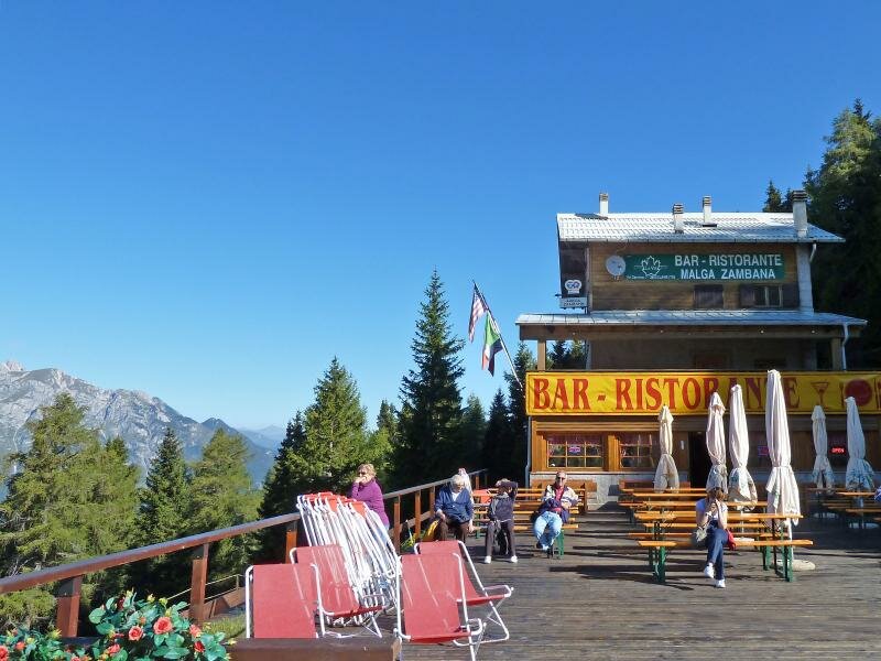
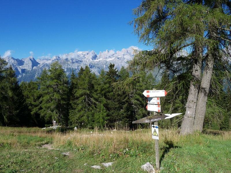
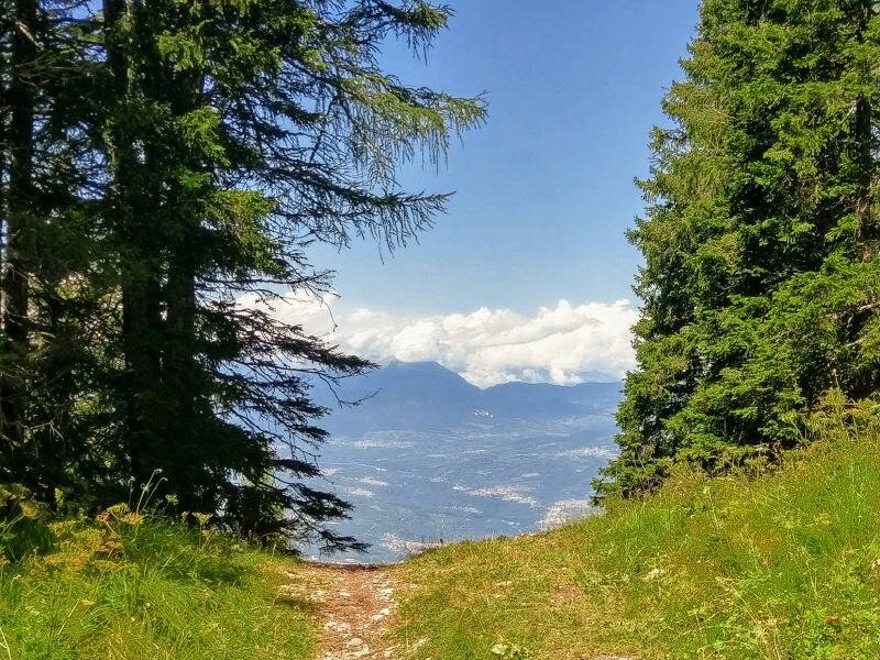
From the car park of Santel, a village in the municipality of Fai della Paganella, we take path no. 602. The path runs amidst a dense fir wood, then climbs to Dosso della Rocca, where we take the trail branching off to the left. The latter winds across a flatter area with pastures before passing Malga di Fai and entering the wood. At this point we take the steep path on the right towards Rifugio Dosso Larici on the right, which continues among mountain pines. It then branches off left, merges with a ski slope, and soon reaches the cima Paganella. Just 10 minutes from the peak is rifugio La Roda, where we take a rest after a three-hour ascent.
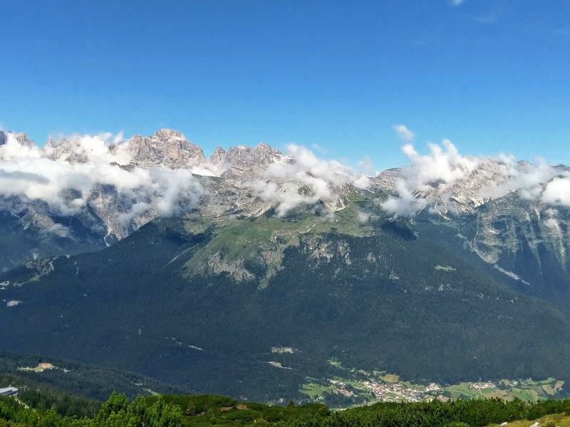
The descent proceeds along the western slope, offering views of the impressive Brenta Dolomites. We follow the long path with signposts first for Malga Zambana first and then for Parcheggio Santel (the car park).
Author: Giacomo Roccabruna
-
- Starting point:
- parking space at Passo Santel (Fai della Pagnaella)
-
- Overall time:
- 05:30 h
-
- Total route length:
- 13,2 km
-
- Altitude:
- from 1.043 m to 2.115 m
-
- Altitude difference (uphill | downhill):
- +1072 m | -1072 m
-
- Route:
- Santel - Dosso Larici - Roda mountain hut (Paganella Peak) - Zambana mountain hut - Santel
-
- Destination:
- Paganella Peak
-
- Resting points:
- Roda mountain hut
-
- Recommended time of year:
- Jan Feb Mar Apr May Jun Jul Aug Sep Oct Nov Dec
-
- Download GPX track:
- Hike from Santel to the Paganella Peak
If you want to undertake this hike, we recommend checking the weather and trail conditions in advance and on site before starting this hike!