A beautiful one-day hike on the Sentiero Friedrich-August path along the Val Duron, past the impressive Sassolungo Group
Image gallery: Hike through the Duron valley to the Fassa Ridge
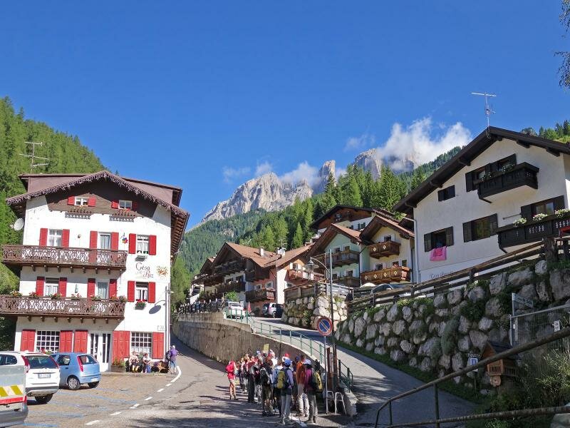
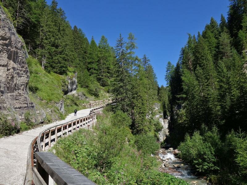
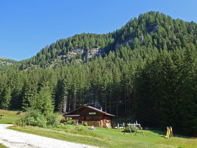
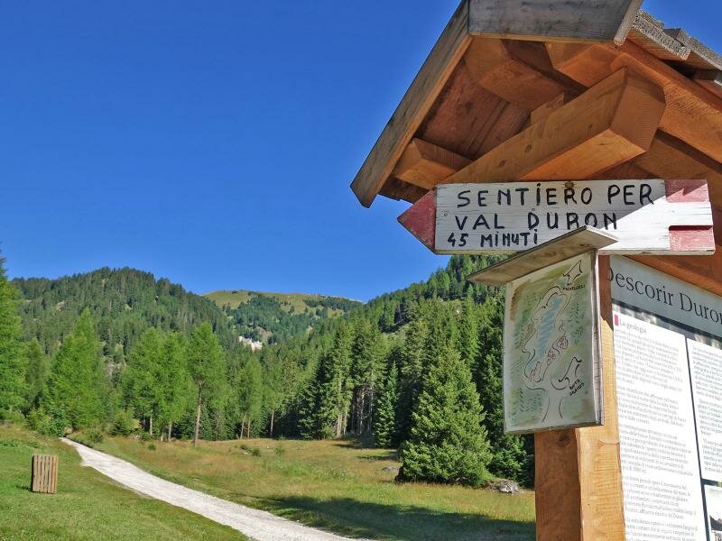
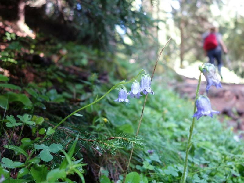
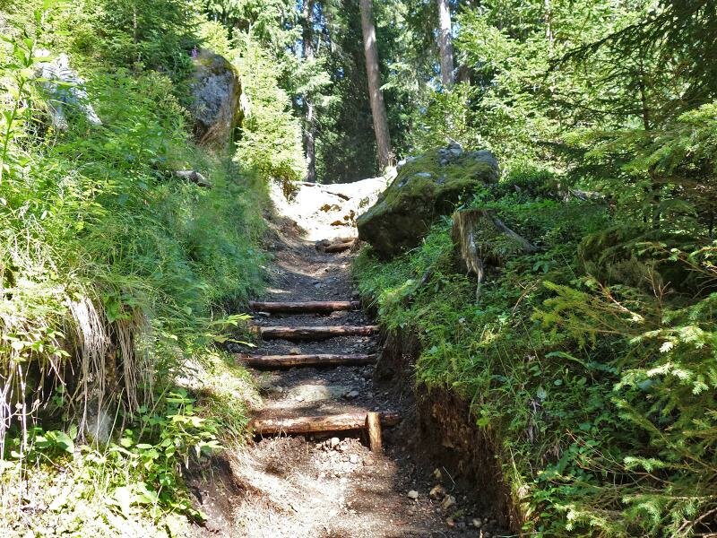
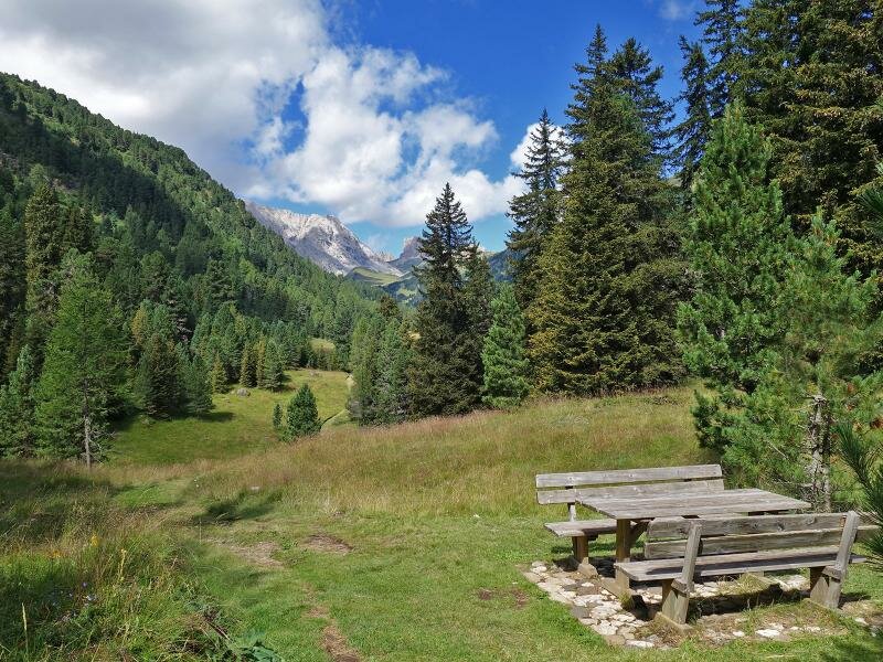
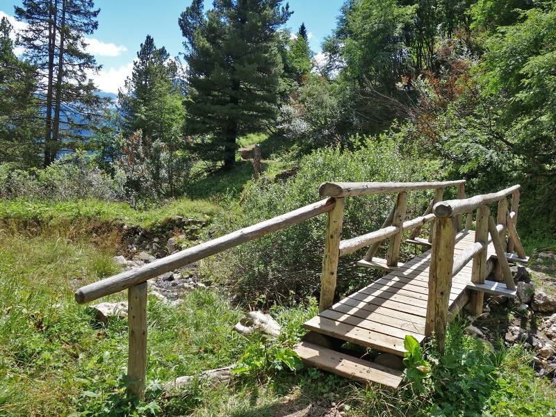
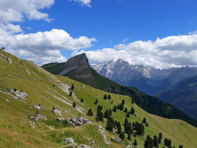
We begin our hike at the car park of the Col Rodella Cable Car and walk through Campitello di Fassa, following the signpost "Passo Duron". The path flanks the stream in the Val Duron, where the asphalt road becomes an unpaved track leading to Baita Fraines. At the crossroads, we follow the path through the woods to the Micheluzzi Mountain Hut at 1,860 metres a.s.l.
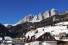
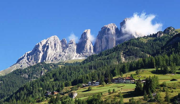
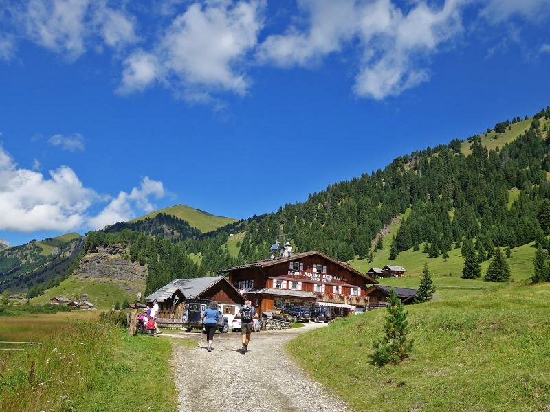
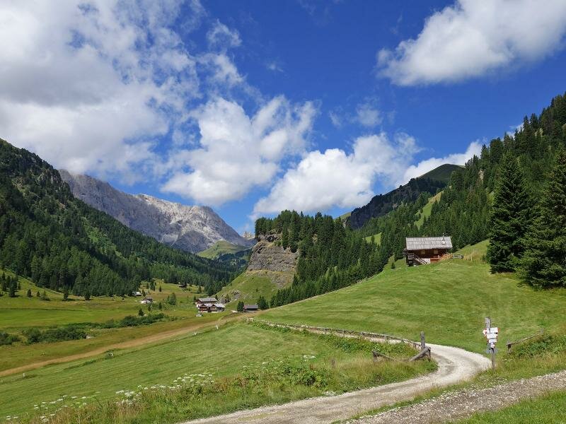
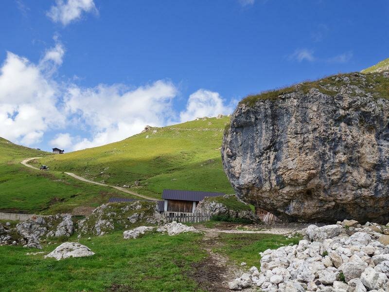
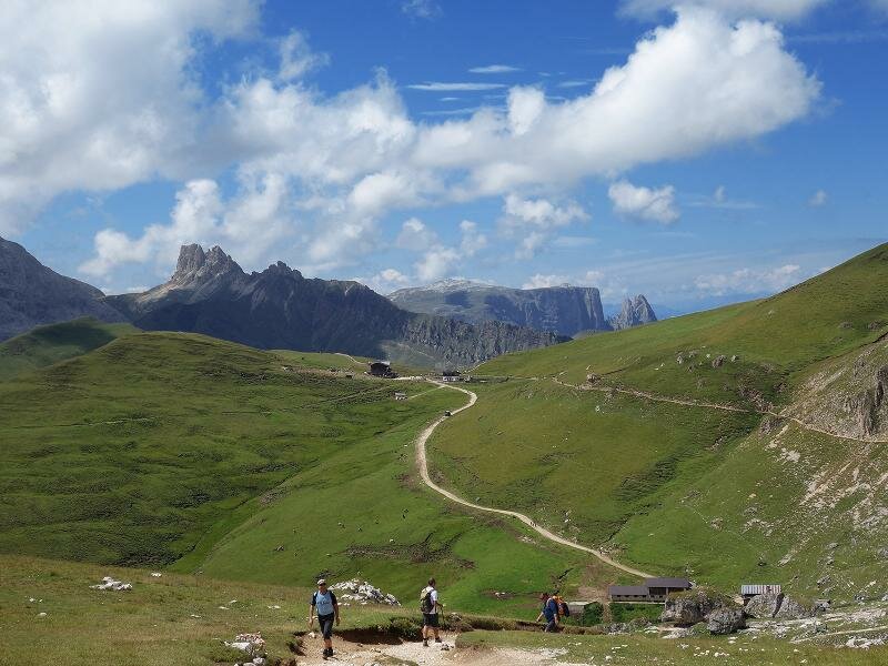
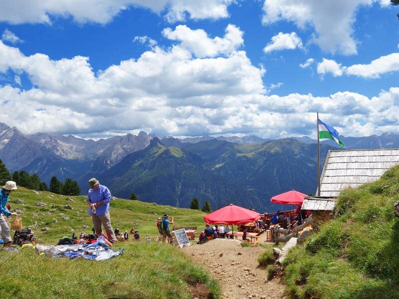
The Rifugio Duron is located in a valley of the Alpe Duron, amidst green meadows offering views of the Denti di Terrarossa and Molignon peaks. A partially steep climb to the Rifugio Sasso Piatto begins right here. To the right, path no. 533 leads uphill through the wood, then across meadows and past Malga Sasso Piatto. The Rifugio Sasso Piatto (Utia de Sas Plat) is situated on the Giogo di Fassa at almost 2,300 metres a.s.l. From here, we enjoy a stunning view of the Alpe di Siusi.
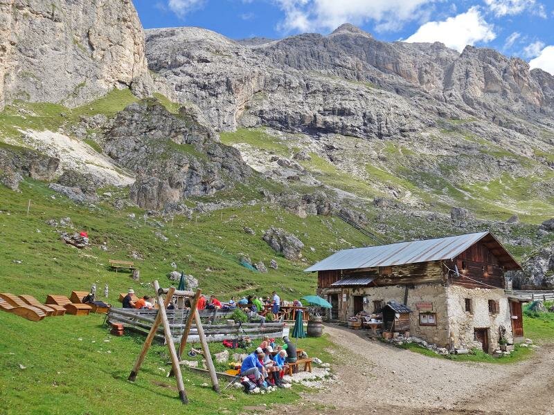
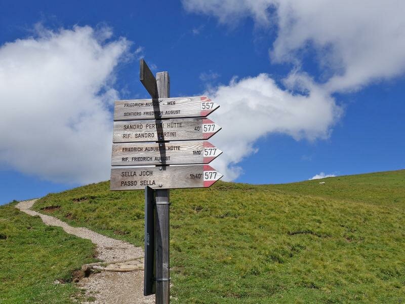
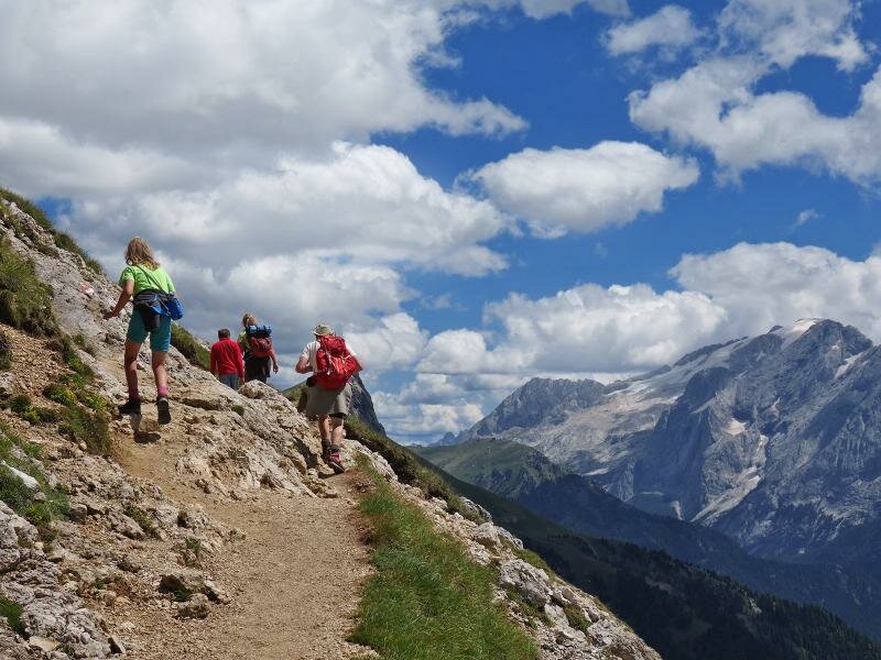
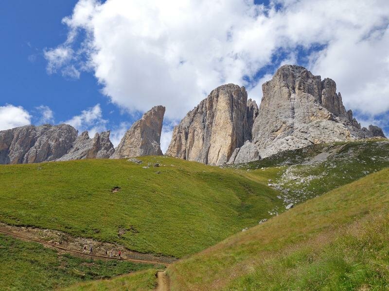
After a well-deserved break, we continue along the Friedrich-August path towards the Passo Sella. This path winds along the foot of the Sasso Piatto and Dente (Zahnkofel) mountains, past the Rifugio Sandro-Pertini and the Rifugio Friedrich August.
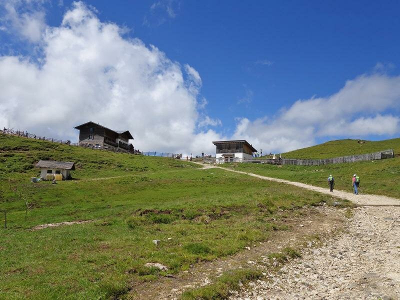
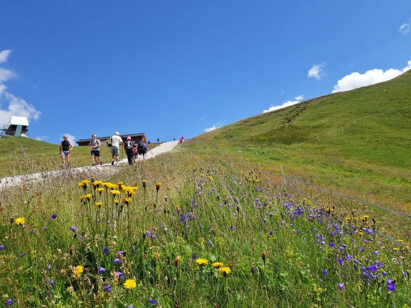
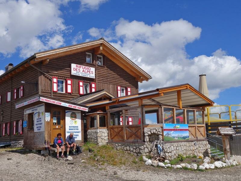
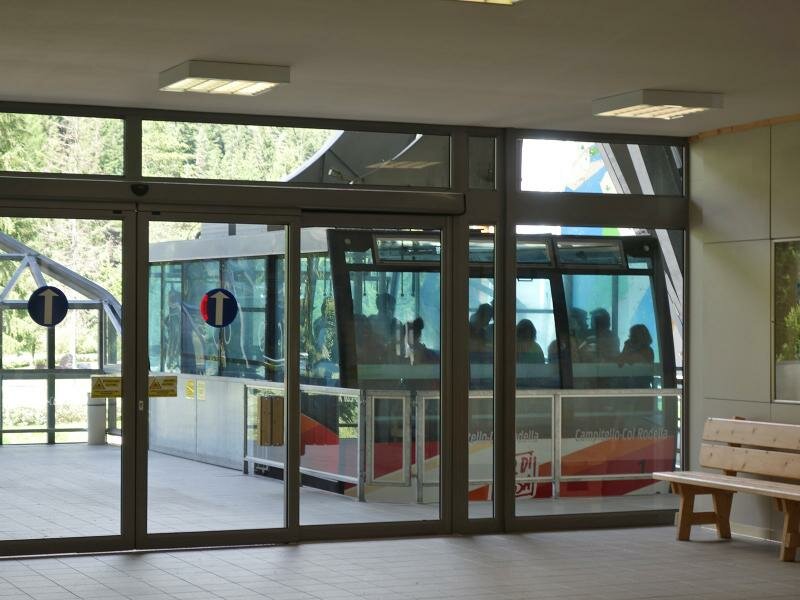
We ascend the short but very steep section up Mt. Col Rodella to the Rifugio Des Alpes, concluding our hike with a fantastic panoramic view of the Dolomites. Finally, we take the Col Rodella Cable Car for a quick descent, reaching the valley station in Campitello in just a few minutes.
Author: AT
Experienced: July 2015
Last update: 2025
-
- Starting point:
- Campitello di Fassa, Col Rodella valley station
-
- Overall time:
- 04:40 h
-
- Total route length:
- 12,8 km
-
- Altitude:
- from 1.322 m to 2.381 m
-
- Altitude difference (uphill | downhill):
- +1059 m | -217 m
-
- Route:
- Val Duron, Rifugio Micheluzzi, Malga Sasso Piatto, Rifugio Sasso Piatto (Giogo di Fassa), Sentiero Federico Augusto, Rifugio Sandro Pertini, Rifugio Federico Augusto, Rifugio Des Alpes, Col Rodella
-
- Signposts:
- "Val Duron", 533, "Sentiero Federico Augusto"
-
- Destination:
- Col Rodella
-
- Resting points:
- Rifugio Micheluzzi, Malga Sasso Piatto, Rifugio Sasso Piatto, Rifugio Sandro Pertini, Rifugio Federico Augusto, Rifugio Des Alpes
-
- Recommended time of year:
- Jan Feb Mar Apr May Jun Jul Aug Sep Oct Nov Dec
-
- Download GPX track:
- Hike through the Duron valley to the Fassa Ridge
-
- More information:
- The descent covers a much smaller vertical distance because the cable car was used. Please check in advance if and when the Col Rodella Cable Car is operating. The overall time shown above refers to the walking time only, not including breaks.
If you want to undertake this hike, we recommend you to check the weather and trail conditions in advance and on site before setting out.