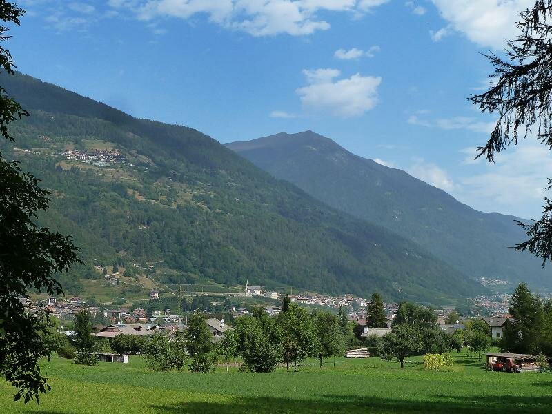
The Val Meledrio separates the Brenta Dolomites from the Presanella Group: along the slope from Dimaro to Passo Campo Carlo Magno, you can discover various installations of the Ecomuseo Val Meledrio and a stream with waterfalls, and stop at the Agritur Malga Mondifrà near the pass
Image gallery: Hike through the Val Meledrio to Malga Mondifrà
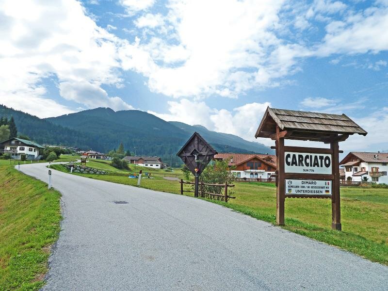

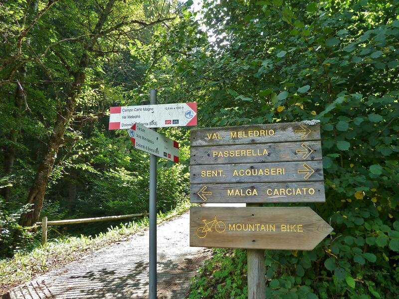
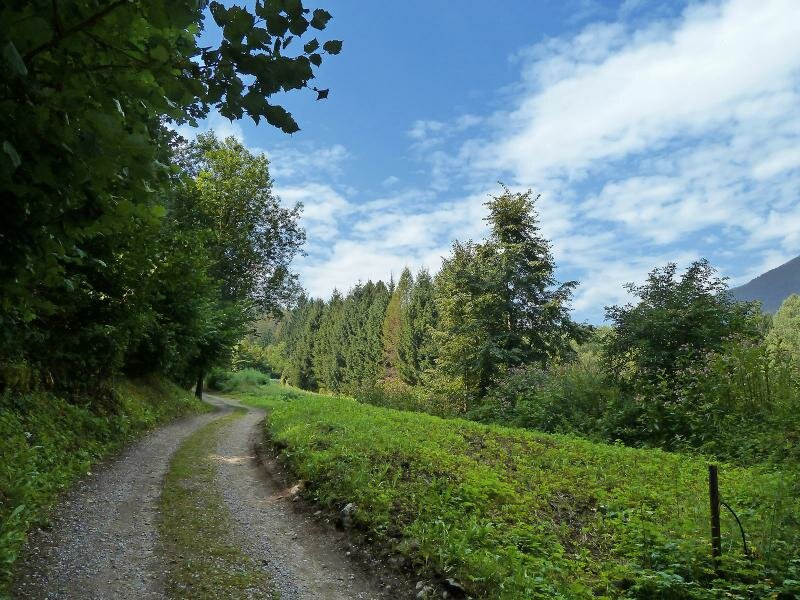
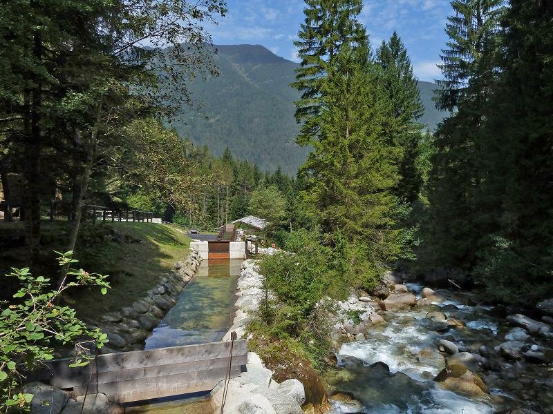
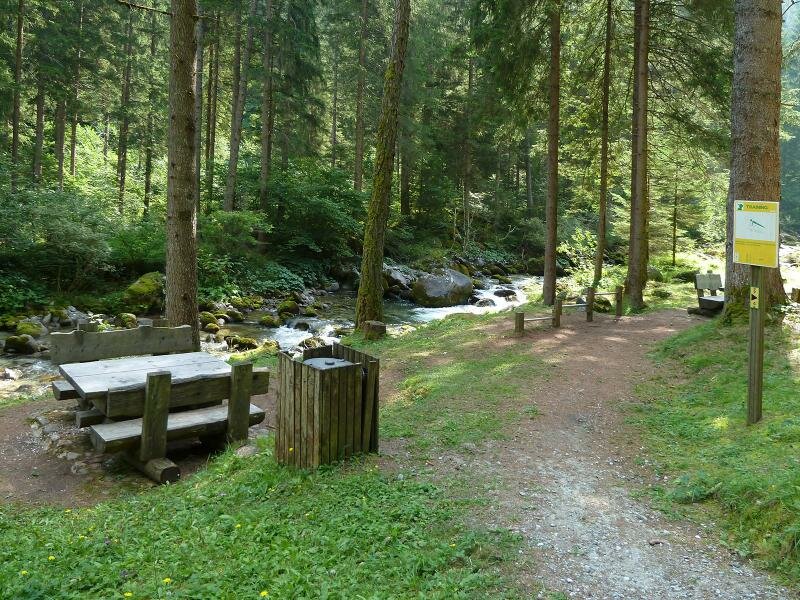
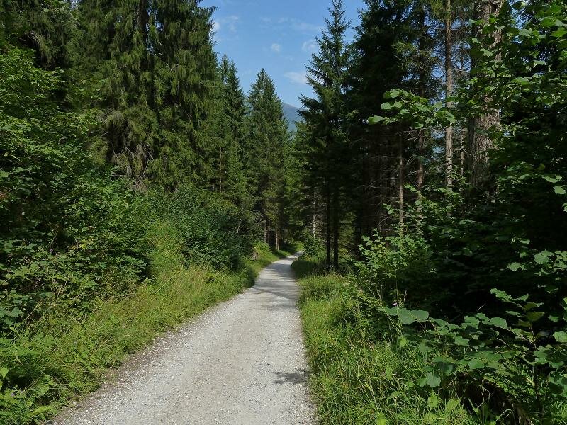
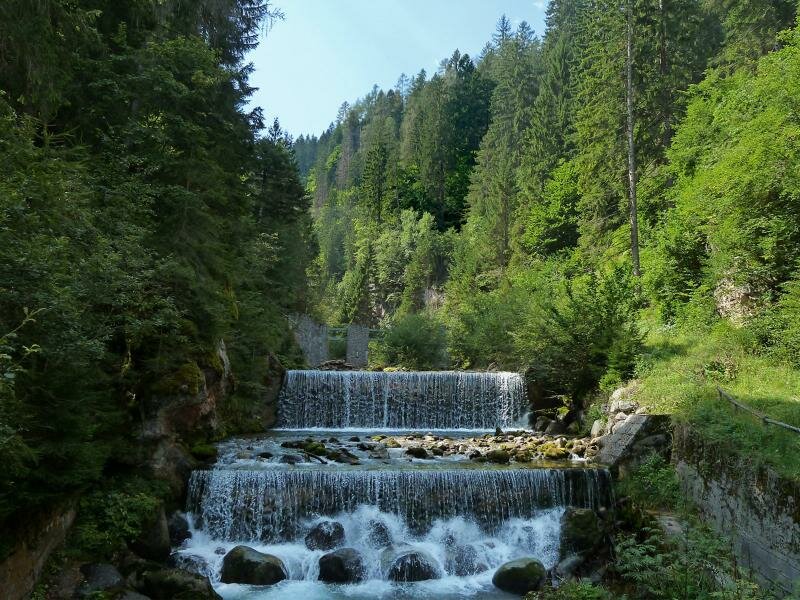
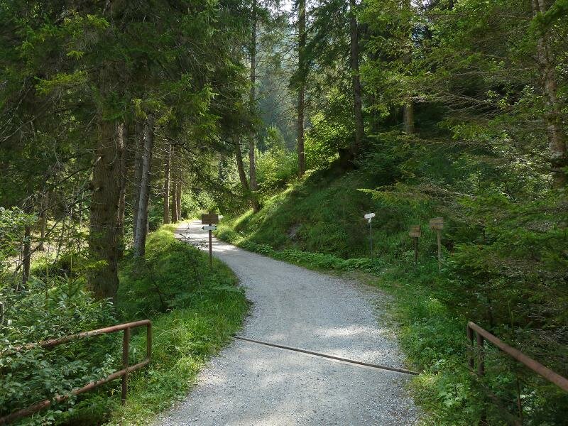
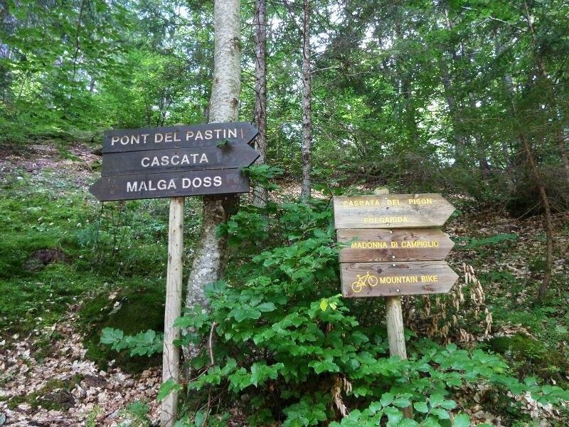
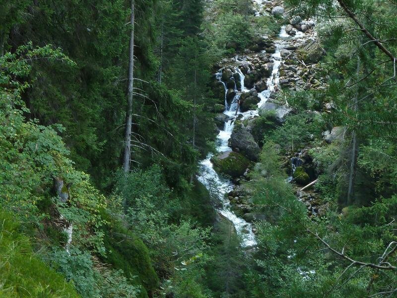
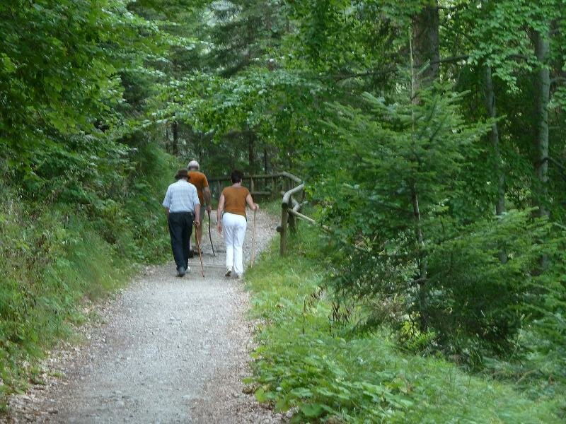
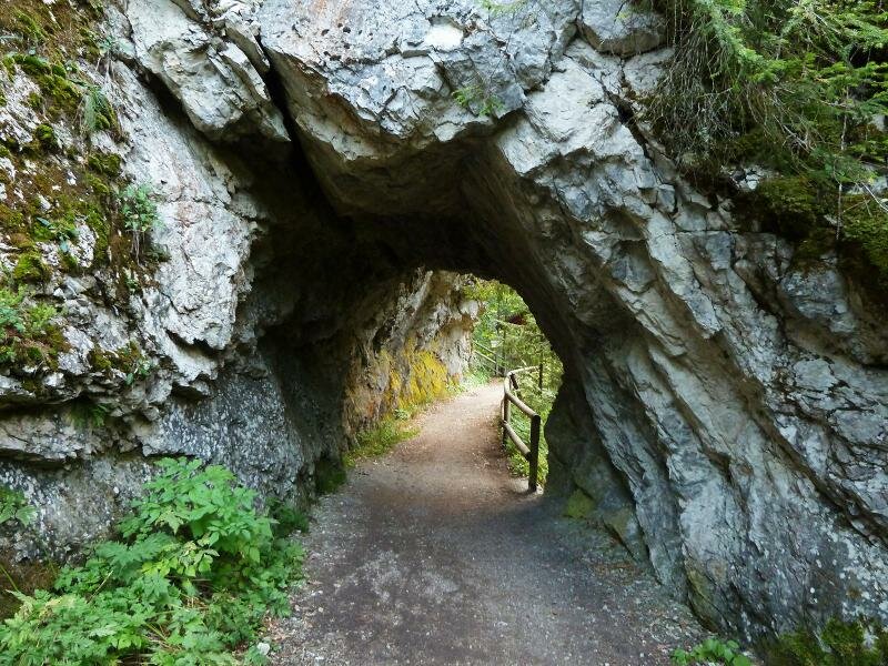
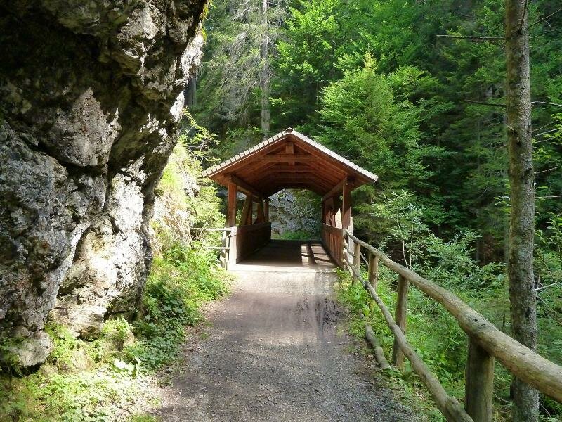
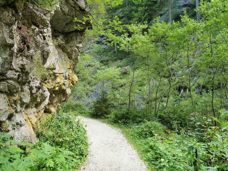
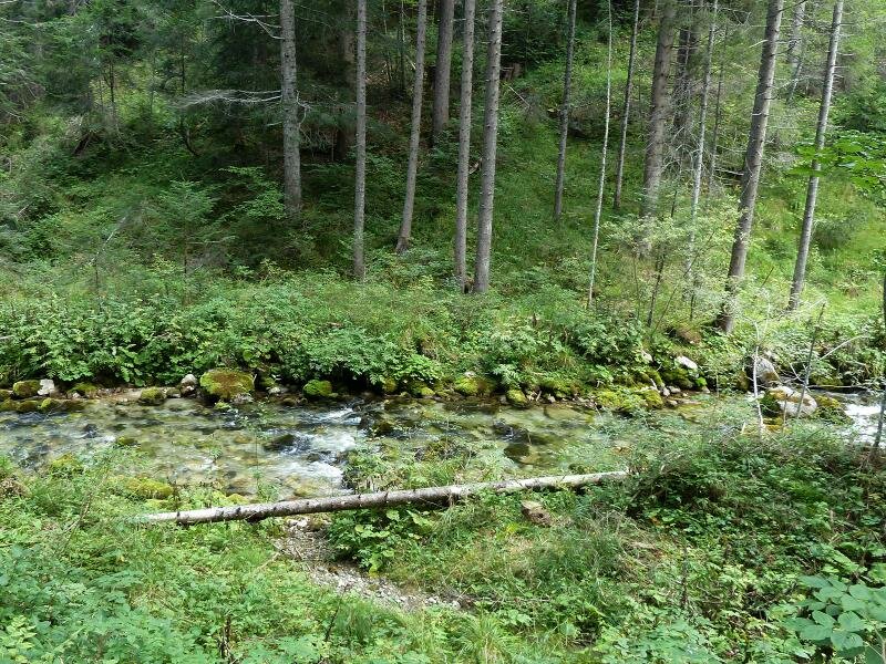
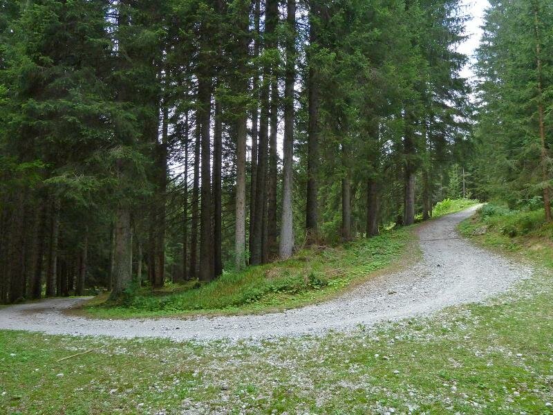
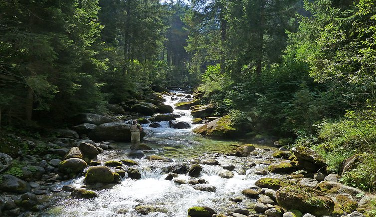
Our hike through the Val Meledrio starts in Dimaro. From there, we walk towards the church and then on to the hamlet of Carciato (800 m a.s.l.). We follow Via Acquaseri until we reach the forest path, leading us to the riverbed of the Meledrio stream and onwards to the Maglio picnic area in the shade of the trees. We are still in the lower part of the valley and can choose whether to continue on the forest path on the eastern side or the path on the opposite side of the valley. After about 1 km, the two paths converge. After a switchback, we arrive in Folgarida, where you can visit the small Pison waterfalls in the forest.
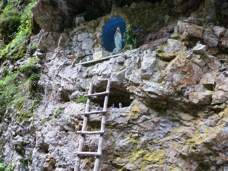
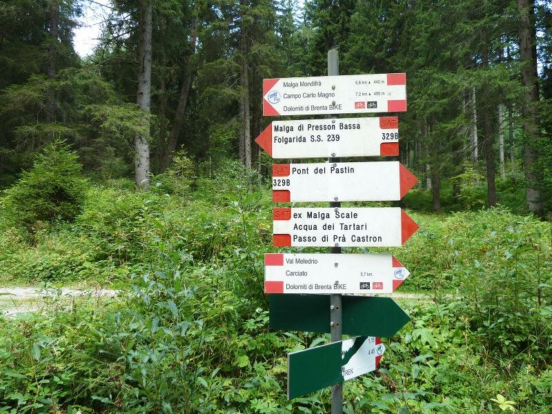
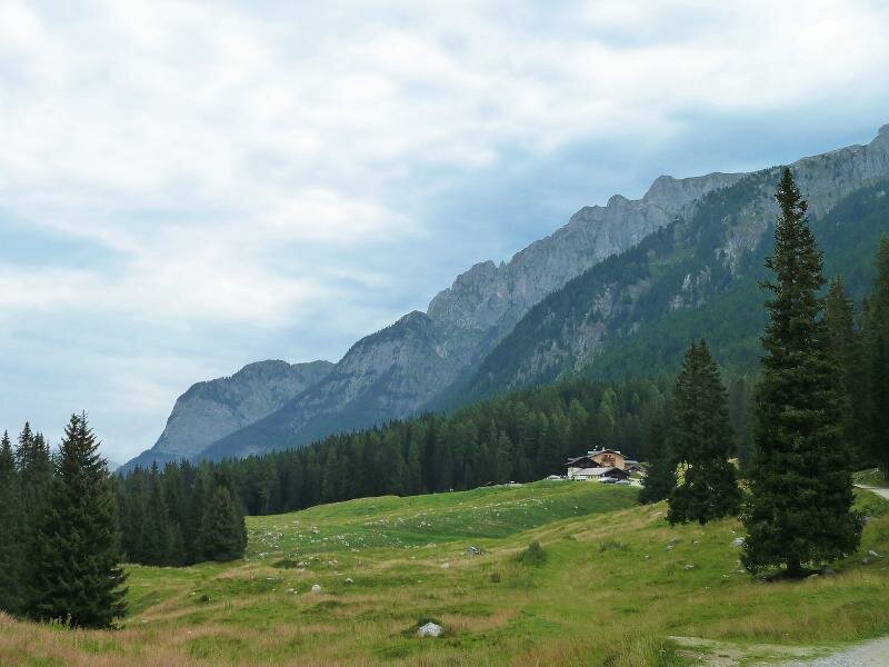
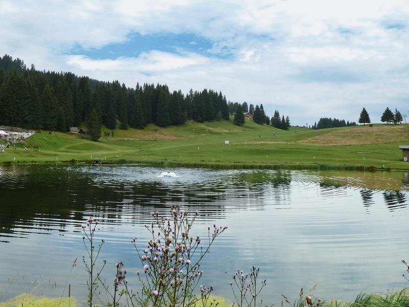
At 1,600 m a.s.l., just before Campo Carlo Magno, we reach the meadows of Malga Mondifrà (an agriturismo and restaurant). From here, it is only 1 km more to the golf course and the summit of the pass. If you wish to avoid the return journey, you can take a bus to the Val di Sole from here. Along the way, you can discover various installations of the local museum “Ecomuseo Val Meledrio”, including a Venetian sawmill (Segheria Veneziana), the smithies, a lime kiln and remains of the Santa Brigida Hospice.
Please note: the connecting path to Folgarida can be found approximately halfway. It is possible to reach Passo Campo Carlo Magno and Dimaro from Folgarida. This path runs a short distance from the road to Passo Campo Carlo Magno, so you might hear the traffic noise on busy days. The forest path is part of the Dolomiti di Brenta Bike mountain bike trail and is therefore also used by many mountain bikers. We recommend you not to occupy the entire width of the forest path, to allow cyclists to pass easily.
Author: AT
-
- Starting point:
- Dimaro
-
- Overall time:
- 04:45 h
-
- Total route length:
- 14,2 km
-
- Altitude:
- from 768 m to 1.676 m
-
- Altitude difference (uphill | downhill):
- +933 m | -32 m
-
- Route:
- Dimaro - Carciato - Cascata Pison (waterfall) - Malga Mondifrà alpine hut - Passo Campo Carlo Magno
-
- Destination:
- Passo Campo Carlo Magno (bus stop)
-
- Resting points:
- Malga Mondifrà (in the final part of the hike)
-
- Recommended time of year:
- Jan Feb Mar Apr May Jun Jul Aug Sep Oct Nov Dec
-
- Download GPX track:
- Hike through the Val Meledrio to Malga Mondifrà
If you want to undertake this hike, we recommend you to check the weather and trail conditions in advance and on site before setting out.