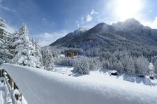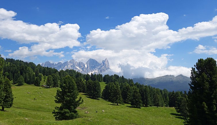
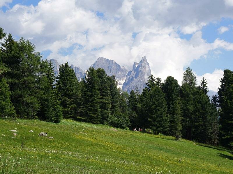
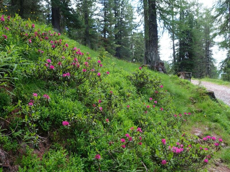
Along this easy itinerary with minimal elevation change, leads to Malga Canvere and Malga Bocche. We follow the forest path alongside the woods above the Val Travignolo, enjoying views of the Pale di San Martino and the Lagorai chain
Image gallery: To Malga Canvere and Malga Bocche
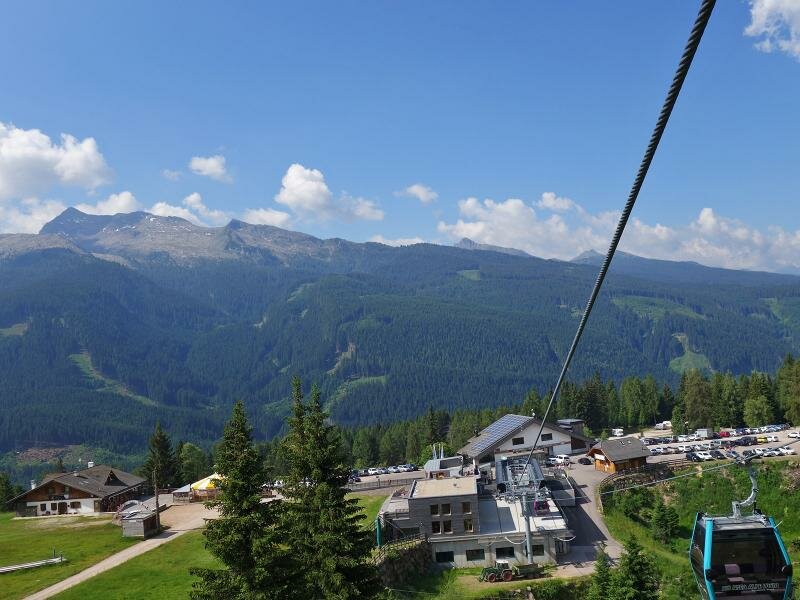
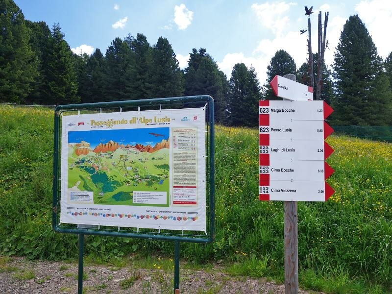
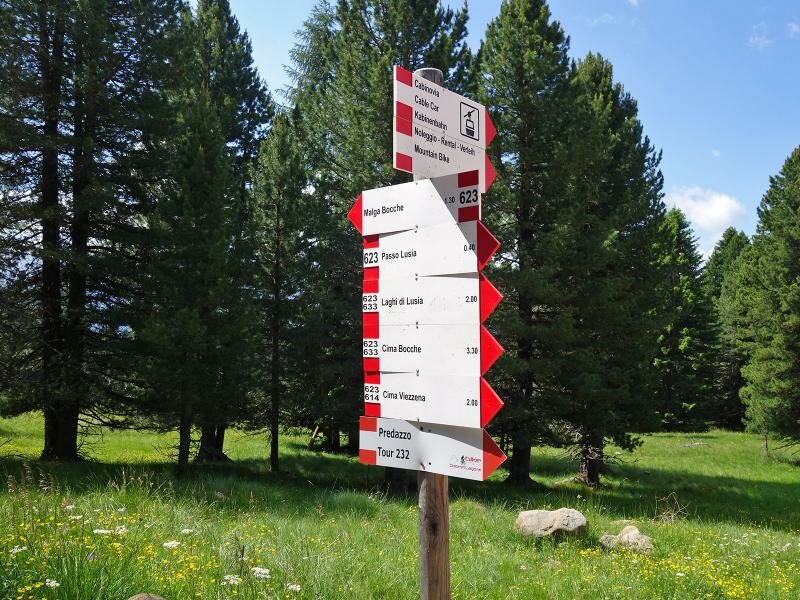
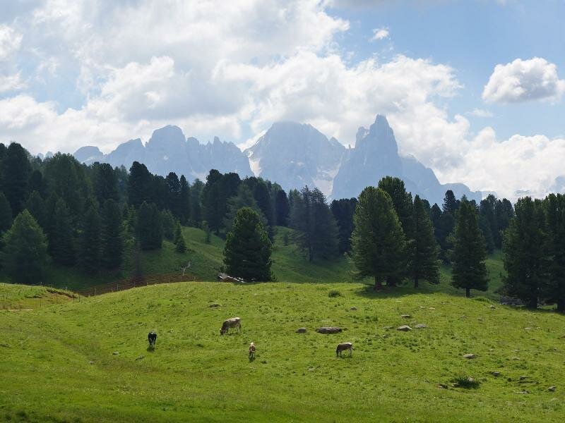
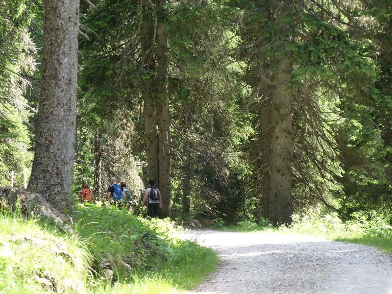
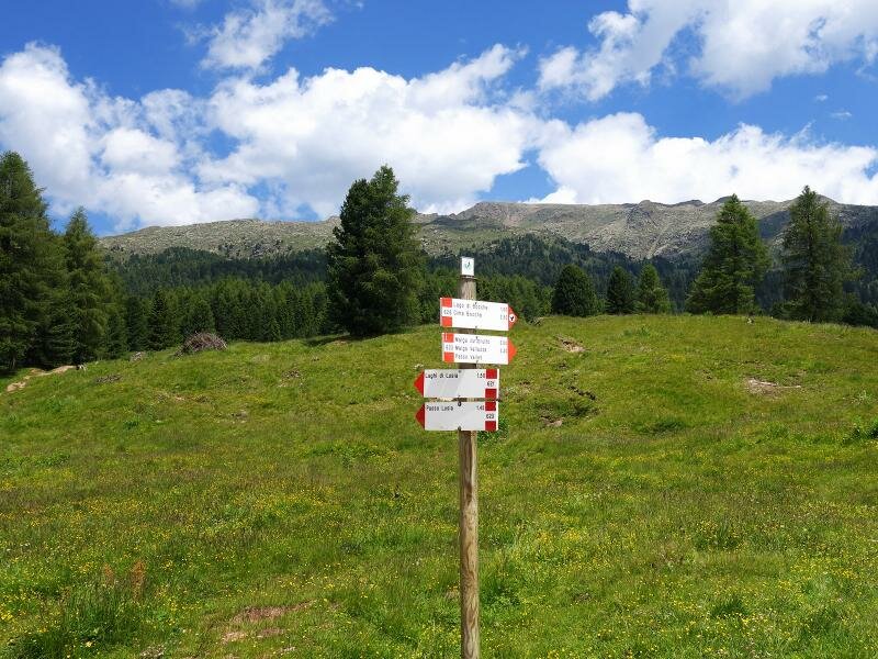
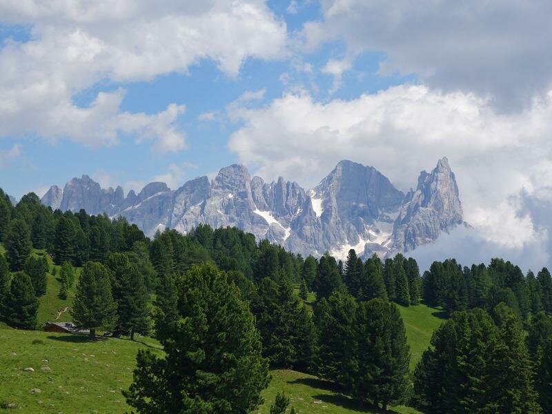
With the cable car from Castelir, near Bellamonte, we reach an altitude of 1,900 m a.s.l. We are now near Alpe Lusia with its stunning alpine meadows and coniferous forests. After a short climb from the cable car's mountain station, we take path no. 623, a forest road leading from Alpe Lusia along the mountain face to Malga Canvere and Malga Bocche with no difficult ascents and descents.
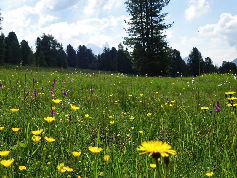
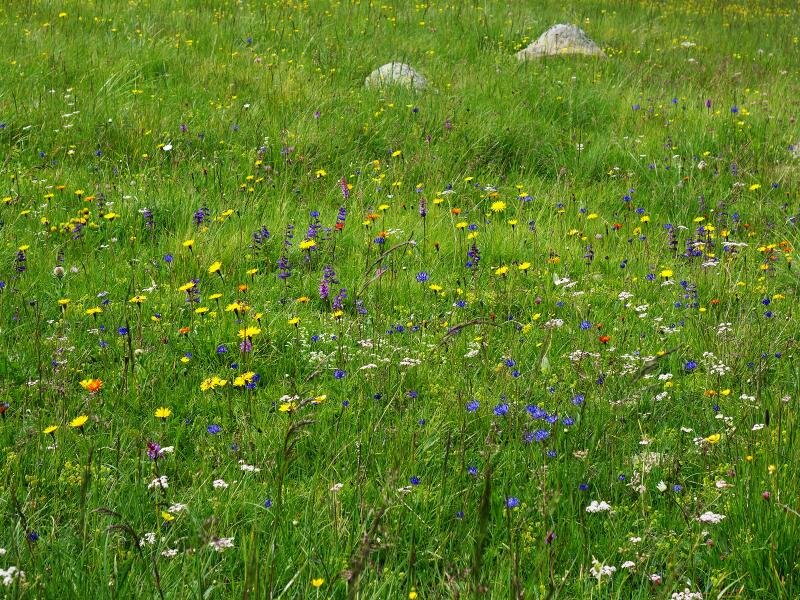
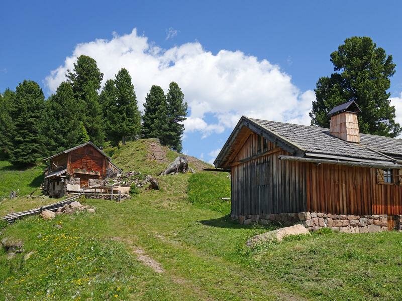
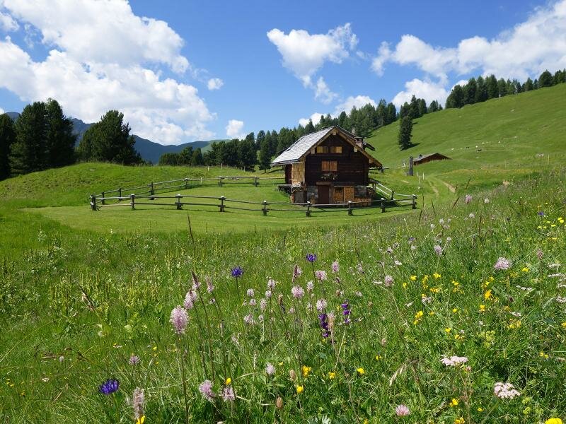
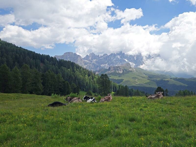
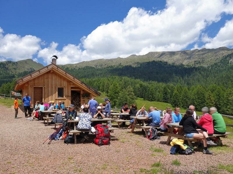
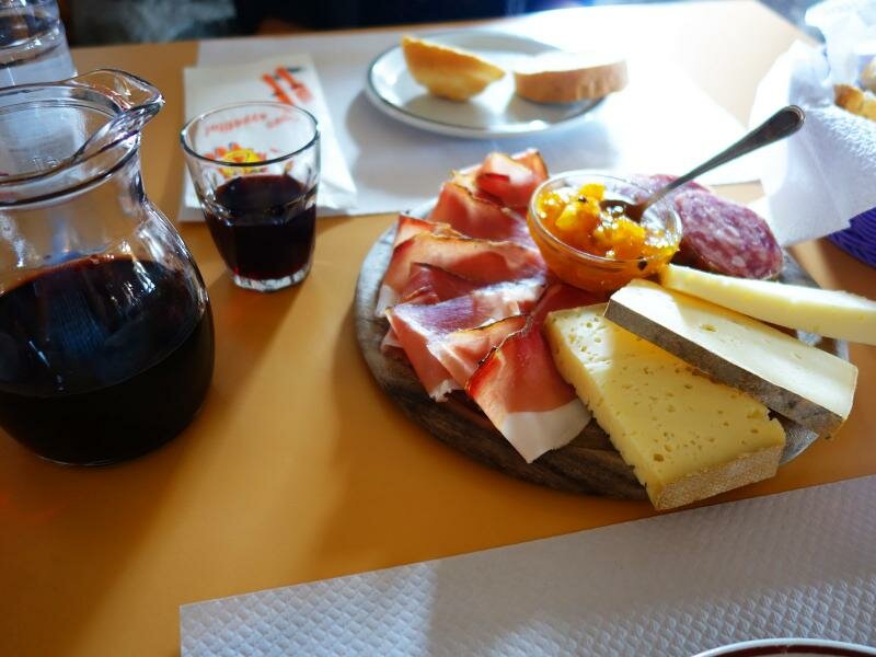
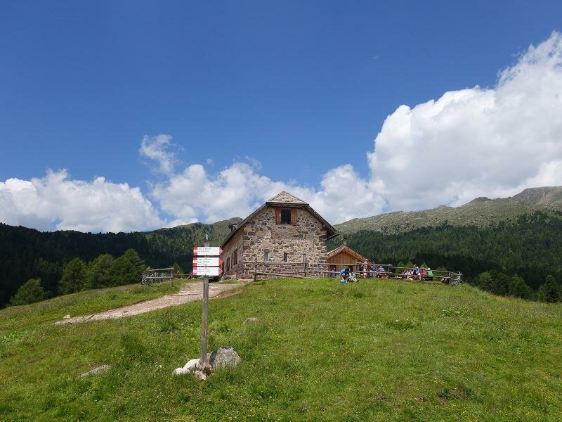
After a 30 minutes walk, we arrive at Malga Canvere, with its wooden huts and blooming meadows. We continue along path no. 623 towards Malga Bocche. Only the final 500 metres are uphill. Malga Bocche, a well-known refreshment area serving delicious Trentino specialities and home-made dairy products, is an ideal place for a lunch break. From the meadows of the Malga, we admire the landscape around Ciimon della Pala before returning to the cable car along the same path.
Author: AT
-
- Starting point:
- cable car in Castelir, mountain station (Bellamonte/Predazzo)
-
- Overall time:
- 02:20 h
-
- Total route length:
- 8,9 km
-
- Altitude:
- from 1.898 m to 1.983 m
-
- Altitude difference (uphill | downhill):
- +161 m | -161 m
-
- Route:
- Rifugio al Cervo – Malga Canvere – Malga Bocche
-
- Signposts:
- No. 623, Malga Bocche
-
- Destination:
- Malga Bocche
-
- Resting points:
- Malga Bocche
-
- Recommended time of year:
- Jan Feb Mar Apr May Jun Jul Aug Sep Oct Nov Dec
-
- Download GPX track:
- To Malga Canvere and Malga Bocche
If you want to undertake this hike, we recommend you to check the weather and trail conditions in advance and on site before setting out.