This short, easy hike leads from the Altopiano di Pradel above Molveno to the Rifugio Croz dell’Altissimo in the Valle delle Seghe
Image gallery: Hike from Molveno to the Brenta Dolomites
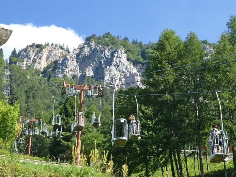
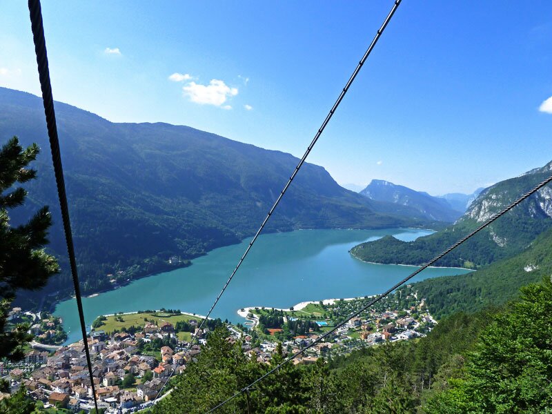
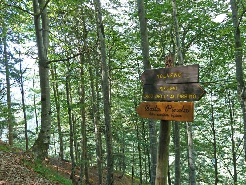
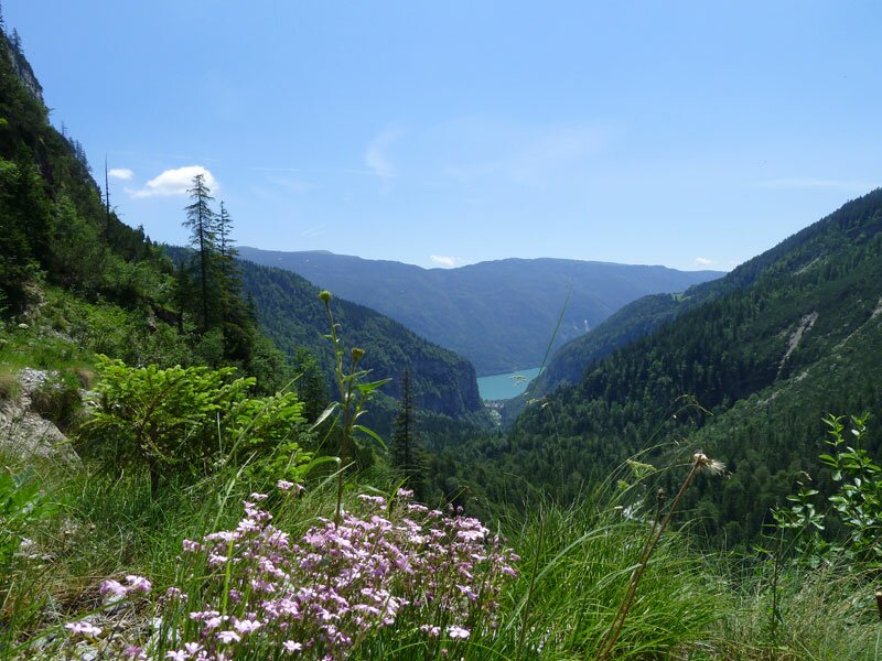

In Molveno we take the cable car to the Altopiano di Pradel at 1,350 metres a.s.l., offering breathtaking views of Molveno, its beautiful Lago di Molveno and Monte Paganella. At the mountain station near the Rifugio Brenta, we take SAT path no. 340 towards the "Rifugio Croz dell'Altissimo".
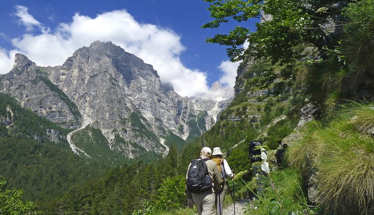
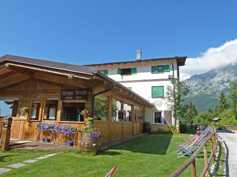
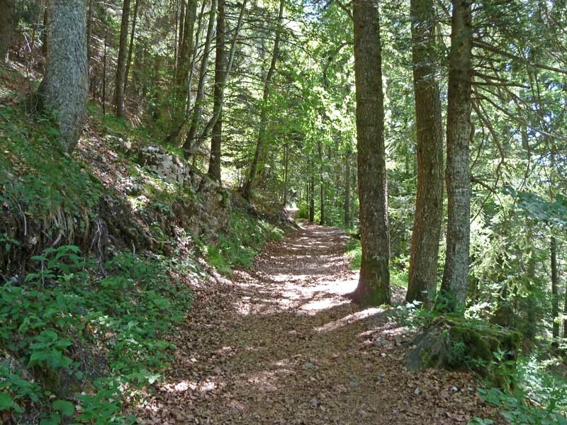
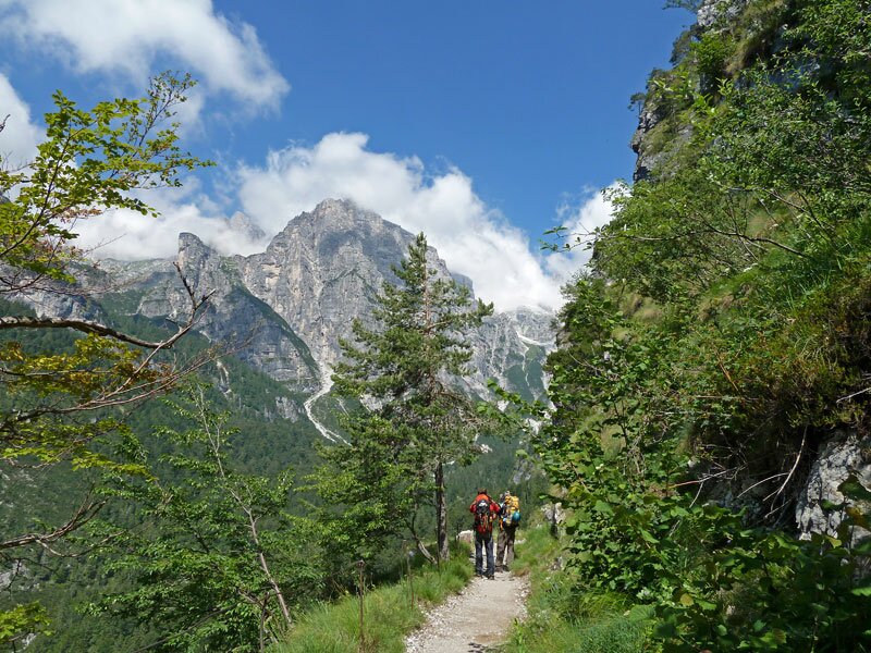
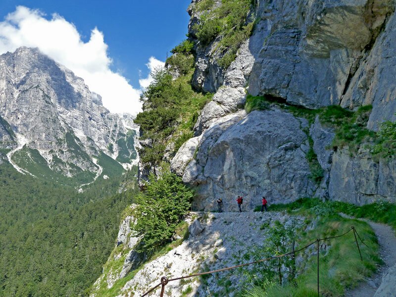
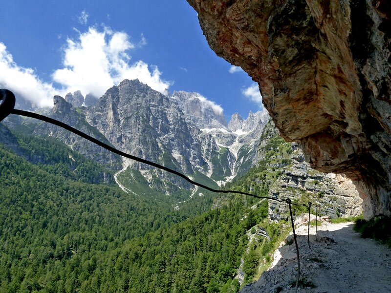
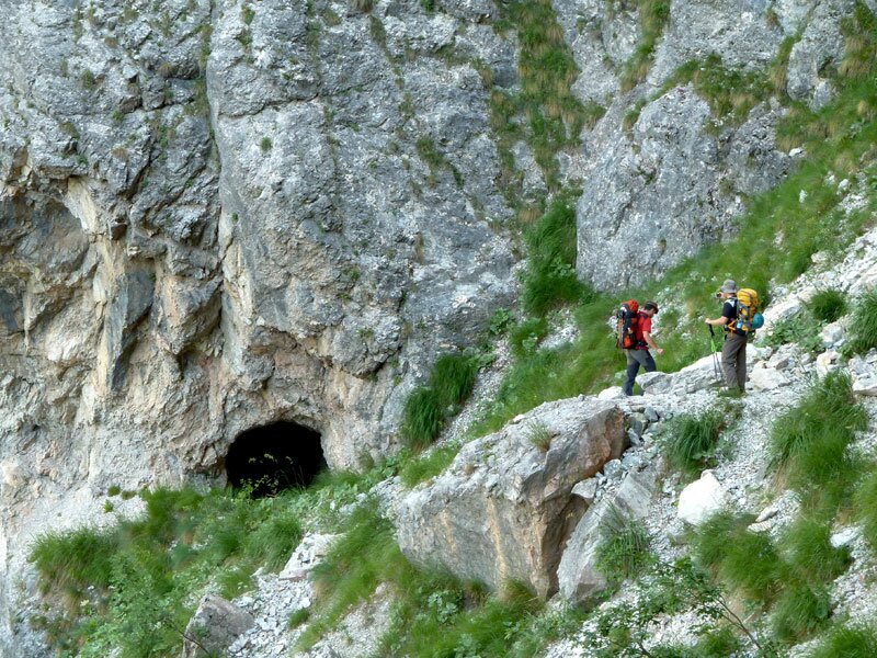
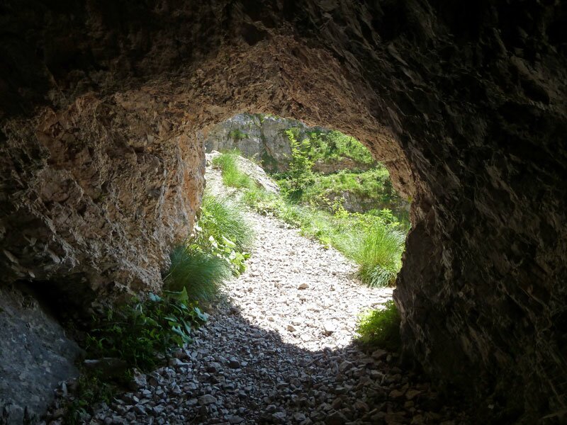
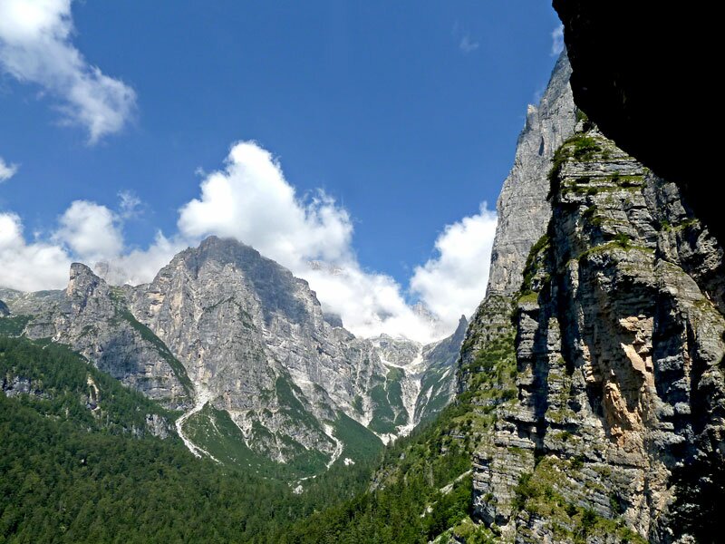
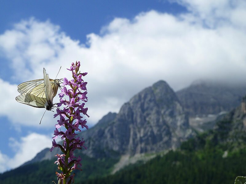
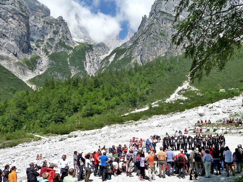
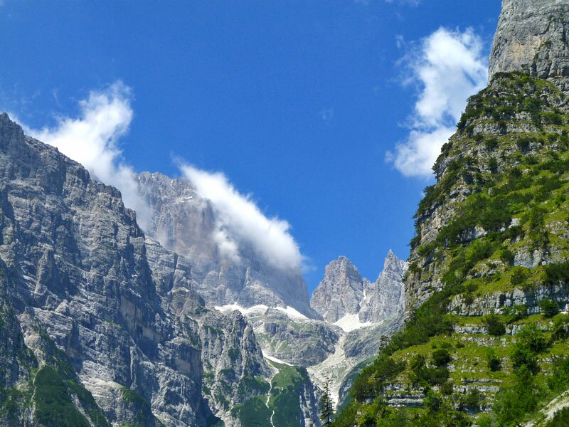
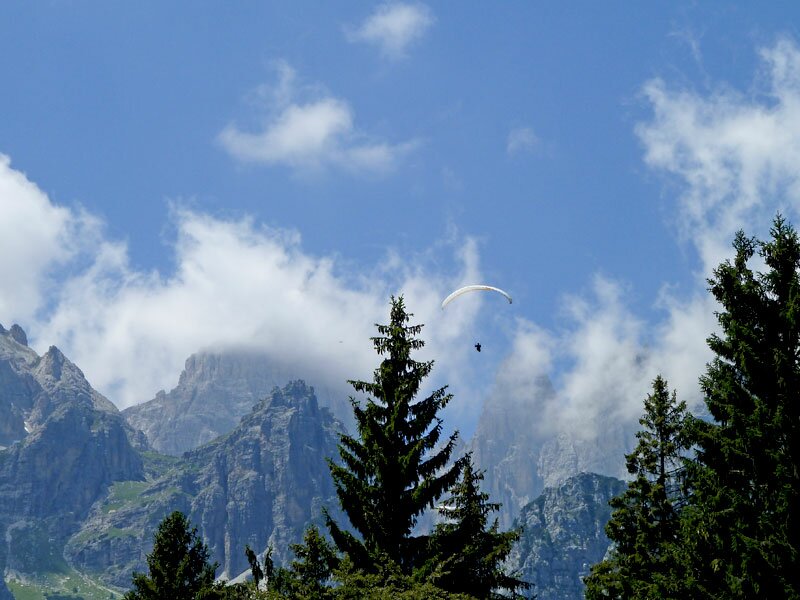
The first part of the route leads through a dense forest, which after a bend, offers a view of the Dolomites. The path then narrows and proceeds alongside the mountain walls, passing through a small tunnel carved into the rock. Despite some clouds, the views of the mountains and the valley are still spectacular. After about an hour of comfortable walking, we reach the mountain hut. We are lucky, arriving just in time to attend the last part of the performance by the Coro di S. Ilario, part of the event I Suoni delle Dolomiti music festival. It is already lunchtime, and we are looking forward to tasting the mountain hut's typical local cuisine - a treat you shouldn't miss.
Several alpine routes into the heart of the Brenta Dolomites start from the Rifugio Croz dell'Altissimo. Today, however, we decide to return to Molveno on the same panoramic route. It is well-known even among less experienced hikers, as it is not difficult and offers stunning panoramic views of a still unspoilt nature.
Author: AT
-
- Starting point:
- Molveno, mountain station Pradel cable car
-
- Overall time:
- 02:10 h
-
- Total route length:
- 7,6 km
-
- Altitude:
- from 1.345 m to 1.430 m
-
- Altitude difference (uphill | downhill):
- +183 m | -183 m
-
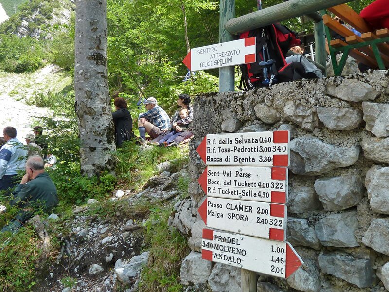
- Signposts:
- SAT 340, Rifugio Croz dell'Altissimo
-
- Destination:
- Rifugio Croz dell'Altissimo
-
- Resting points:
- Rifugio Croz dell'Altissimo
-
- Recommended time of year:
- Jan Feb Mar Apr May Jun Jul Aug Sep Oct Nov Dec
-
- Download GPX track:
- Hike from Molveno to the Brenta Dolomites
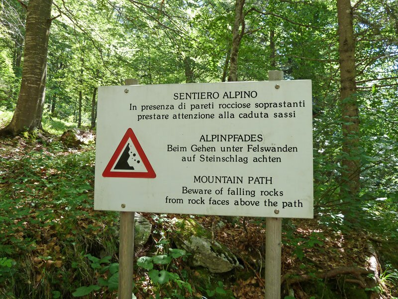
If you want to undertake this hike, we recommend you to check the weather and trail conditions in advance and on site before setting out.