A peaceful hike in one of the most beautiful corners of the Adamello Brenta Nature Park, in the enchanting green Dolomite amphitheatre of the Val Nana
Image gallery: Hike on the Pian della Nana
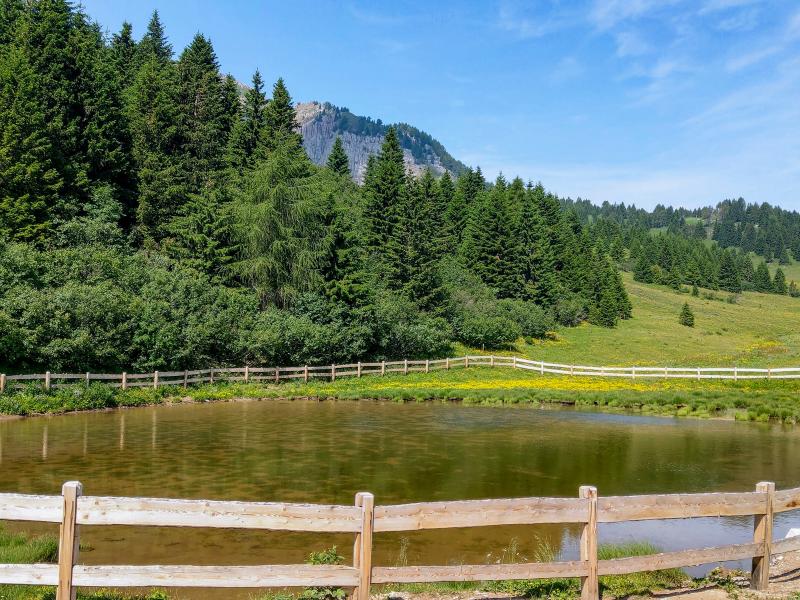
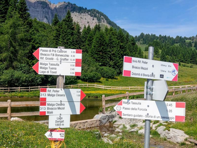
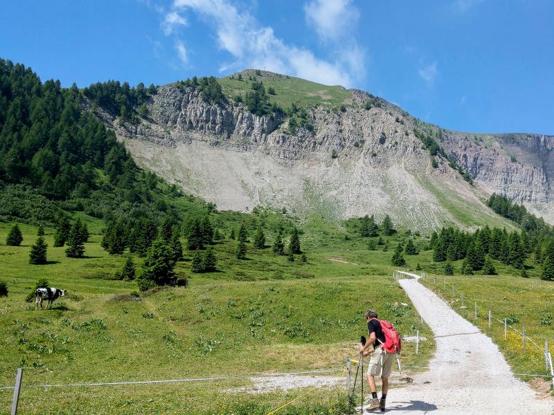
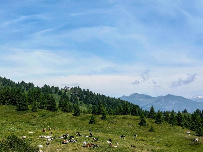
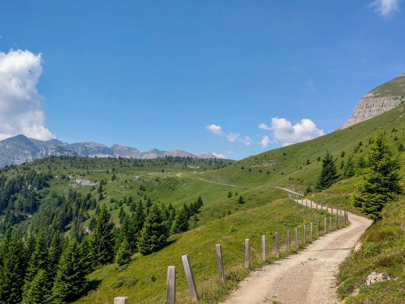
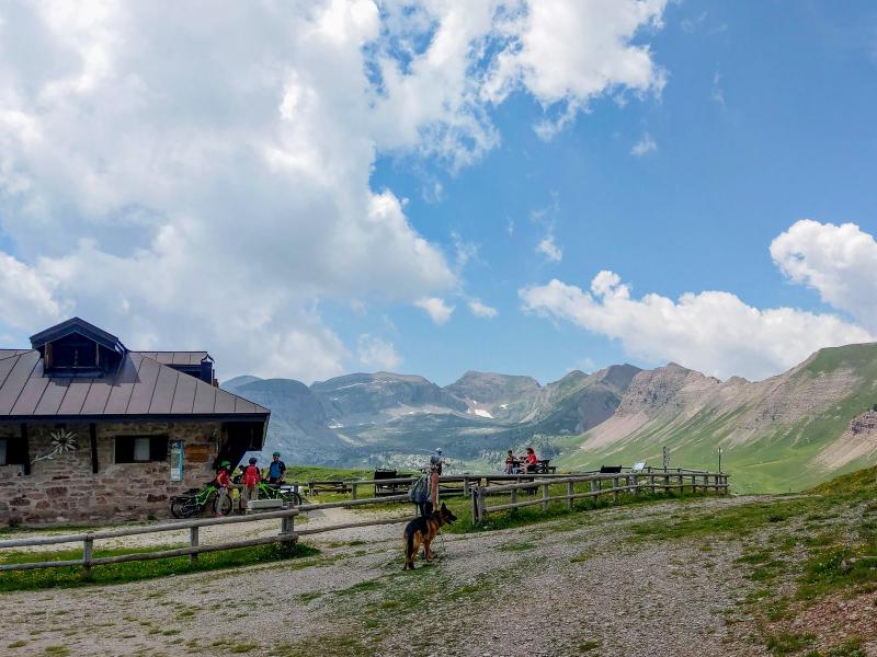
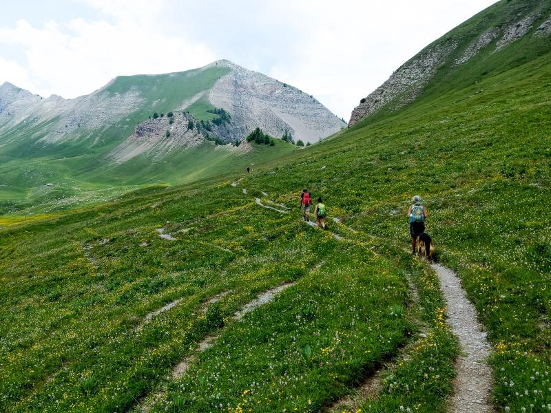
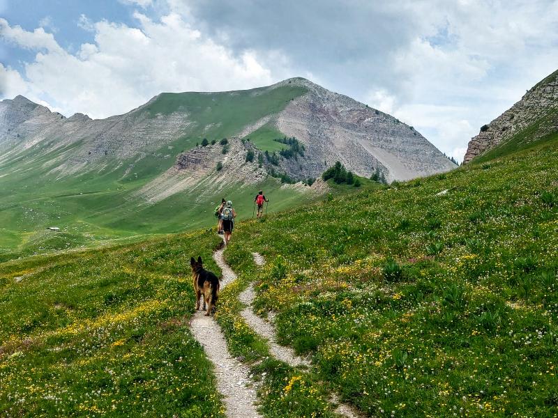
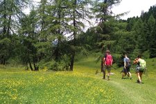
At the top of the long climb up the "Montagna di Cles / Rifugio Peller" road, whose final kilometres are unpaved (drive with caution!), we park our car near laghetto Dorigat at 1,869 m a.s.l. From there, we take the unpaved road, which is closed to traffic, towards Malga Tassulla (path no. 336). We ascend, bypassing the promontory of Croce Peller. Soon after, the gradient eases, leading us to the green Val Nana with views towards Malga Tassulla (or Tasula). The malga does not serve food but you can buy a variety of excellent products, not just dairy products - a great idea for a snack on our way back.
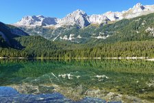
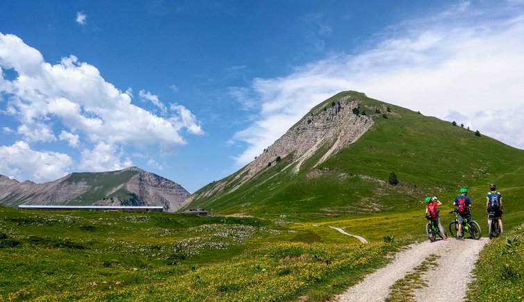
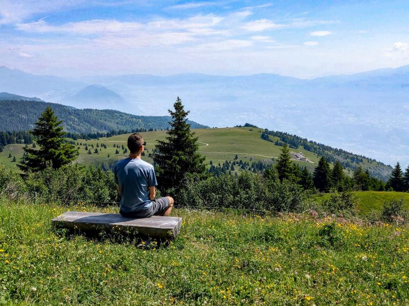
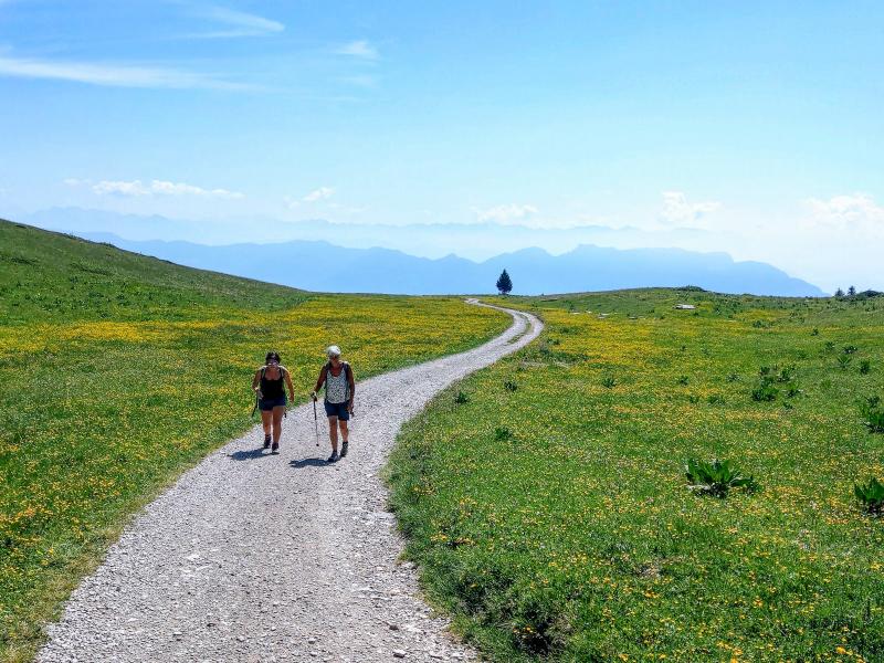
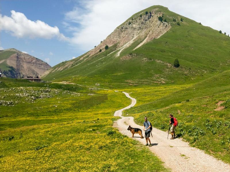
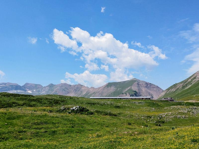
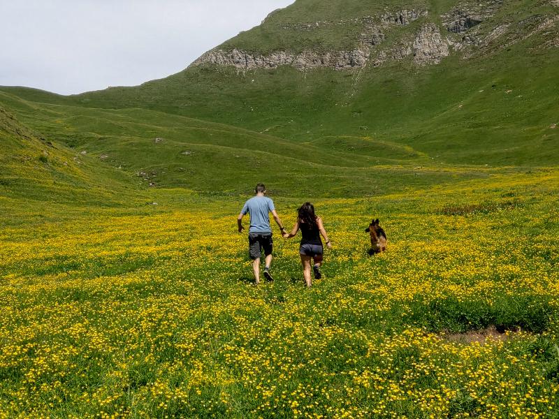
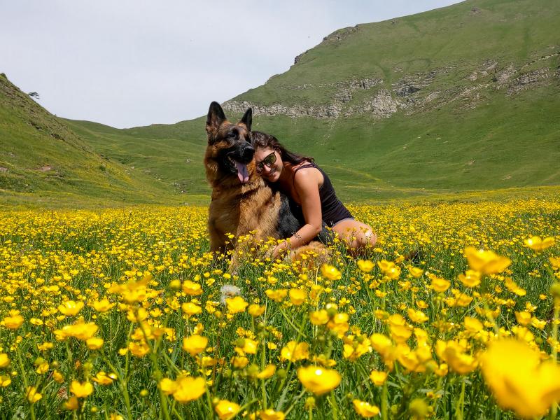
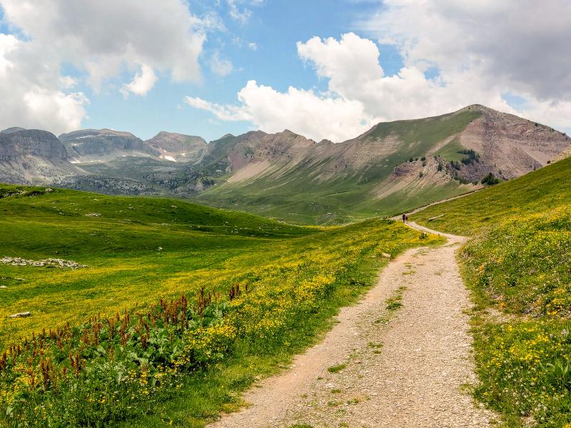
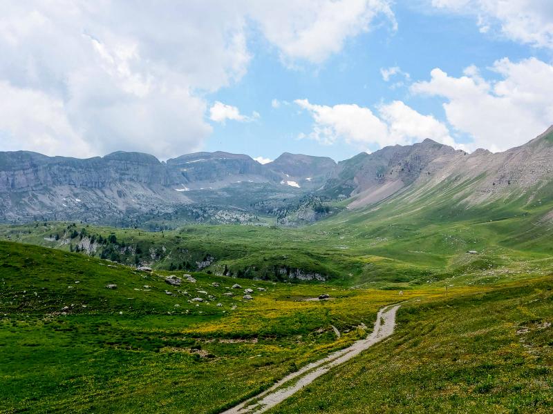
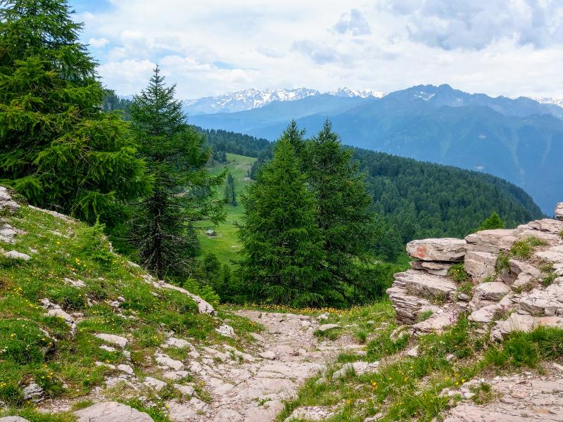
Once past Malga Tassulla, we enter the vast natural amphitheatre of the Pian della Nana, surrounded by the peaks of the Northern Brenta chain. An amazing view opens up in front of us. Our eyes wander over the green grasses, the yellow buttercups and the grey and red hues of the rocks. We continue slightly uphill to Passo della Nana (2,199 m a.s.l.), today's final destination. This pass separates the Val di Non from the Val di Sole. After a short break, we are ready to return along the same path. Alternatively, if you plan an extra hour, you can proceed beyond Passo della Nana to complete a stunning circular route around Monte Pello, passing Lago delle Salare and Malga Clésera.
Author: Giacomo Roccabruna
-
- Starting point:
- Car park at Lago Dorigat near Rifugio Peller, at the end of the more than 16 km long, largely unpaved access road from Cles / Bersaglio (signposted "Montagna di Cles / Rifugio Peller"). The access road from Tuenno / Mechet, with several steep and cemented sections, is only recommended for off-road vehicles.
-
- Overall time:
- 03:15 h
-
- Total route length:
- 10,3 km
-
- Altitude:
- from 1.869 m to 2.200 m
-
- Altitude difference (uphill | downhill):
- +331 m | -331 m
-
- Route:
- Car park at Lago Dorigat / Rifugio Peller - Malga Tassulla - Passo della Nana
-
- Signposts:
- no. 336
-
- Destination:
- Pian della Nana high plateau
-
- Recommended time of year:
- Jan Feb Mar Apr May Jun Jul Aug Sep Oct Nov Dec
-
- Download GPX track:
- Hike on the Pian della Nana
If you want to undertake this hike, we recommend you to check the weather and trail conditions in advance and on site before setting out.