A panoramic hike in the South-western part of the Catena delle Madallene, between the Val di Rabbi and the Val di Bresimo
Image gallery: Hike from Malga Mondent Alta to Cima Vese
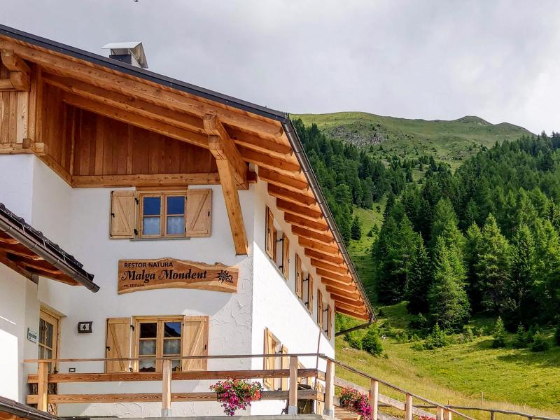
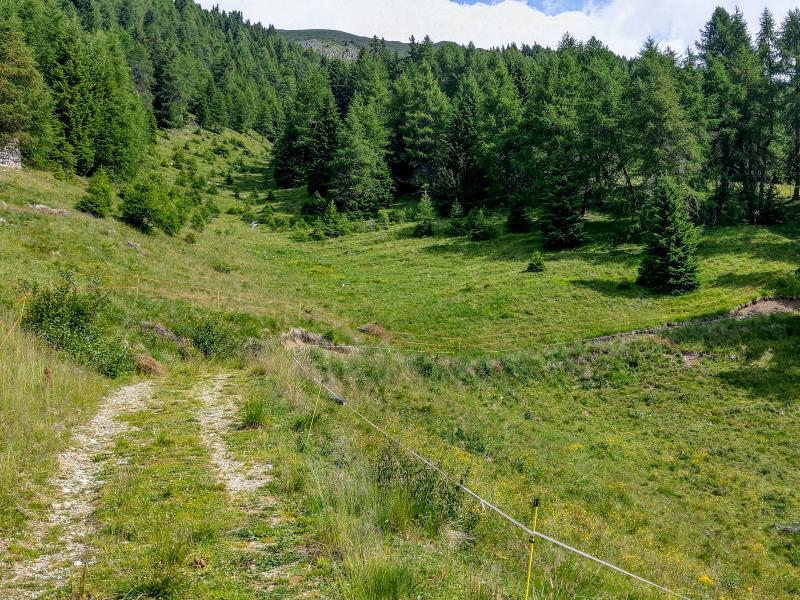
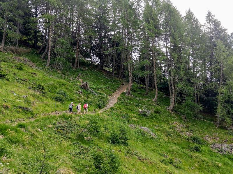
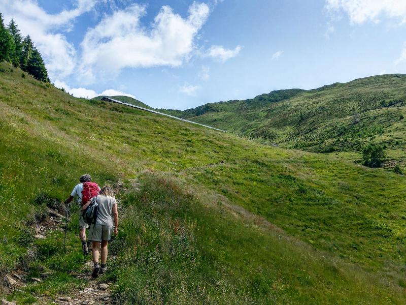
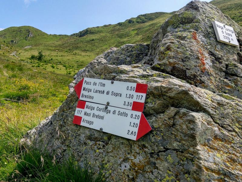
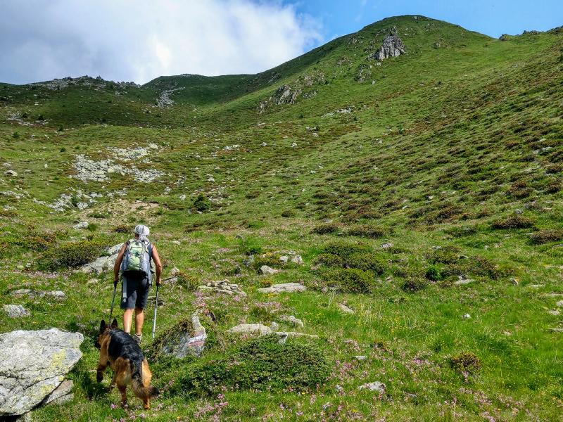
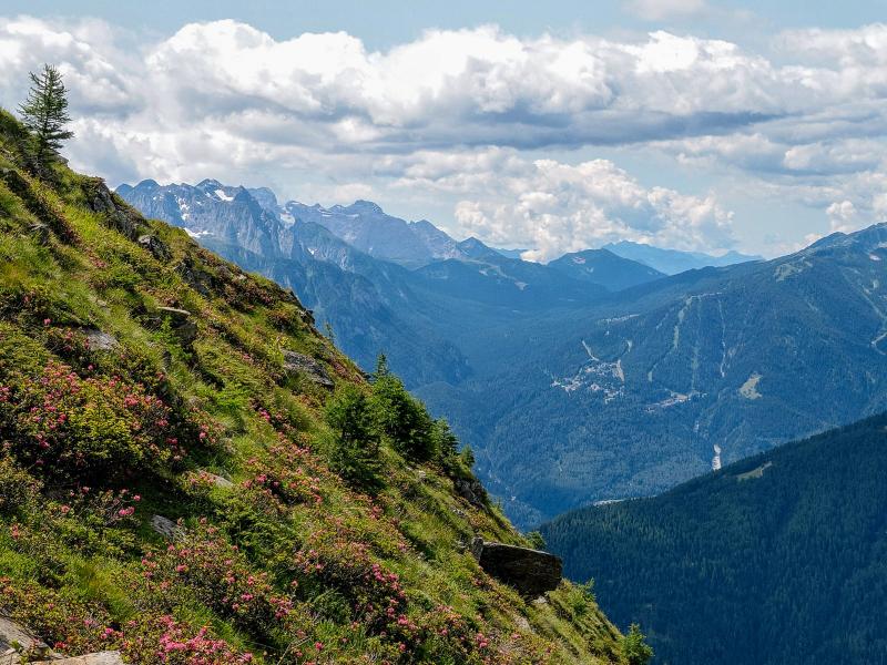
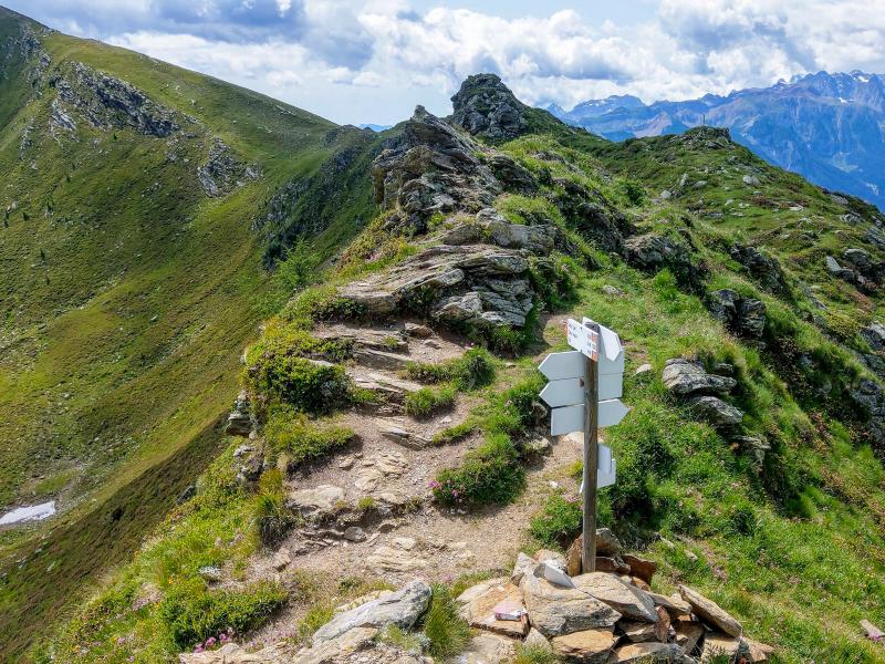
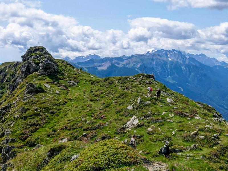
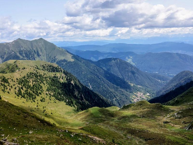
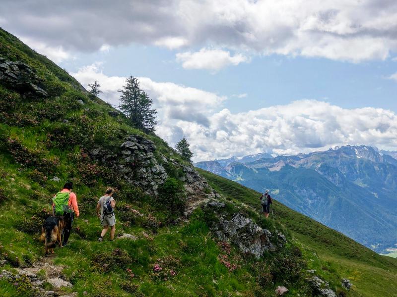
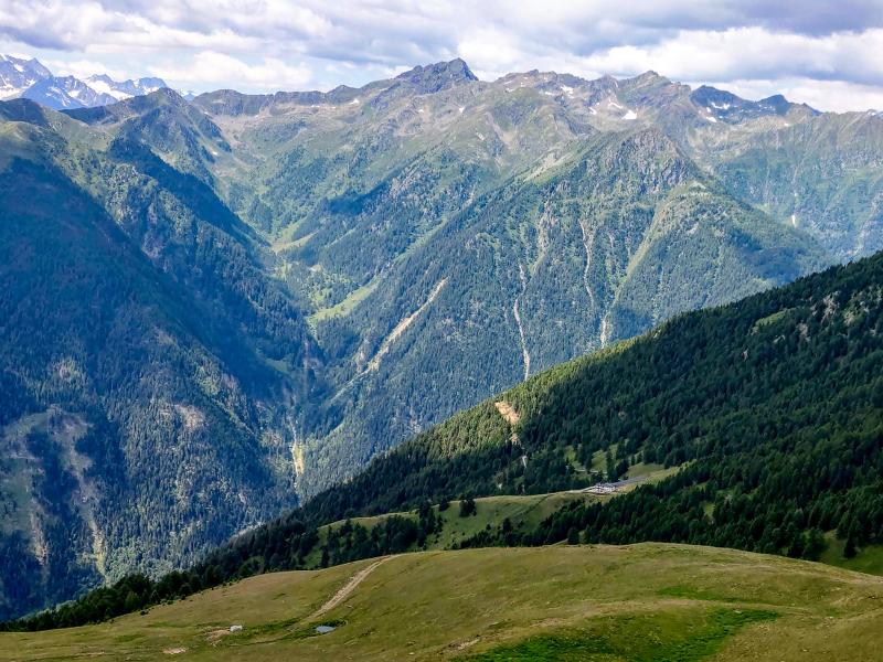
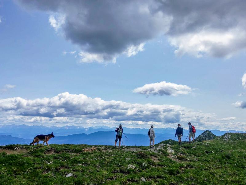
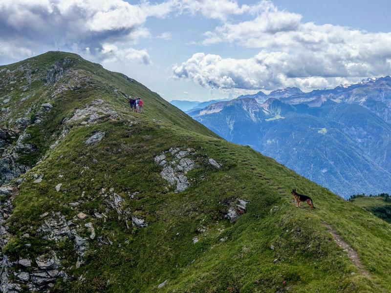
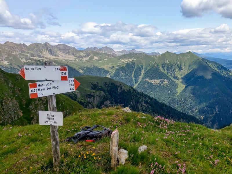
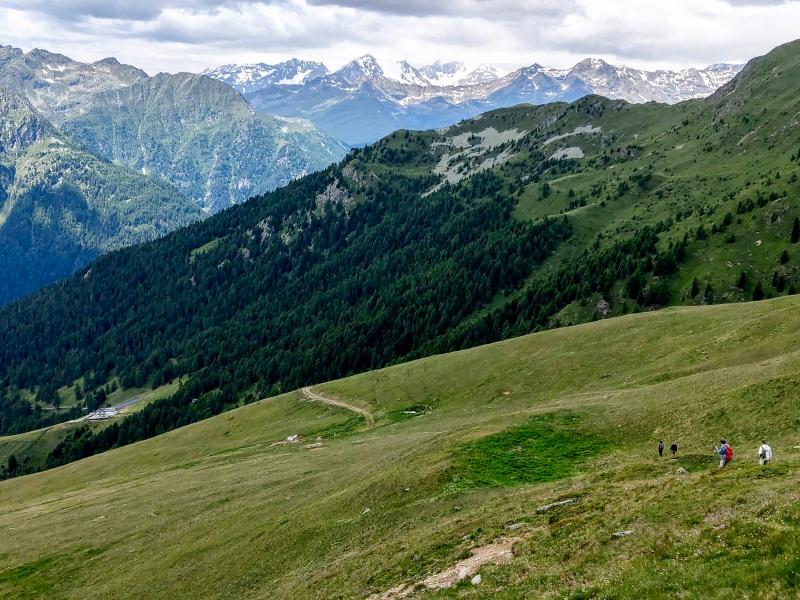
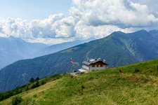
It is mid-June and our hike starts at Malga Mondent Alta at 1,911 m a.s.l. This malga, situated on a beautiful and sunny meadow below Cima Mandrie, is only a 25 minute drive from the village of Pracorno di Rabbi and the only refreshment point along the route. From here we take the path towards Malga Cortinga di Sopra from where we ascend towards Passo de l'Om at 2,331 m a.s.l. After an hour's climb, we arrive at the pass where we continue walking on the wonderful ridge between the Val di Rabbi and the Val di Bresimo with stunning views reaching as far as the eye can see. We proceed towards Cima Lac (at 2,434 m a.s.l., eventually reachable by a short deviation) and then along an easy ascent to Cima Vese.
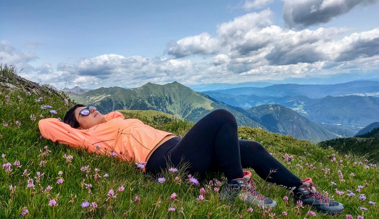
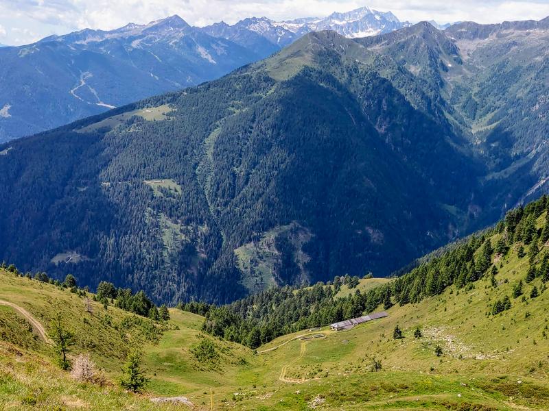
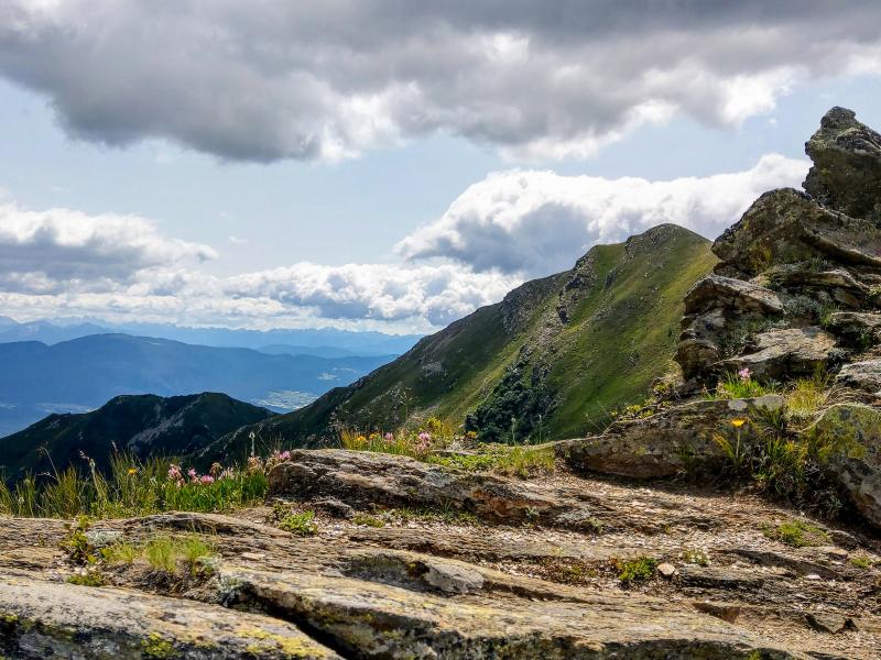
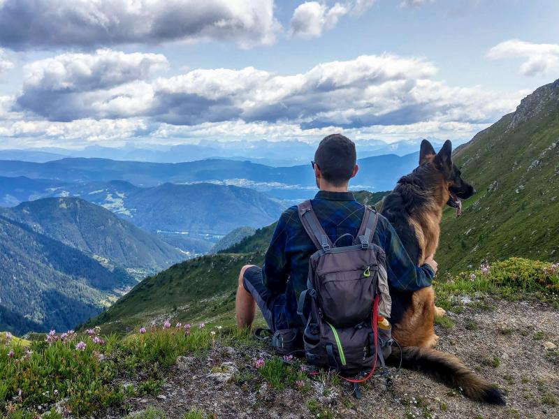
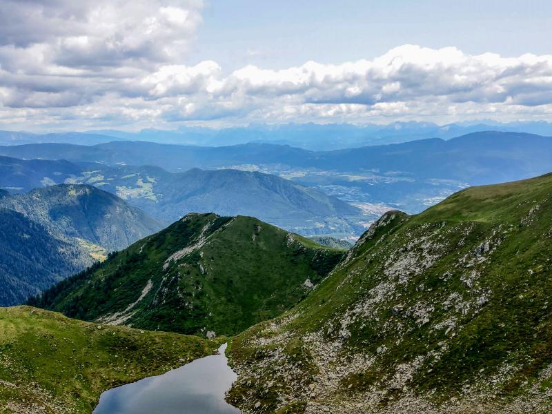
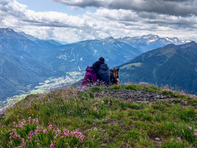
With its 2,400 m of altitude, Cima Vese is a stunning panoramic terrace, offering an all-round view of the Brenta Dolomites, the Val di Sole, the Presanella, the Val di Rabbi, the Ortles-Cevedale Group, the Maddalene and the Alta Anaunia. After a long and pleasant picnic, we leave the peak behind us, even if reluctantly.
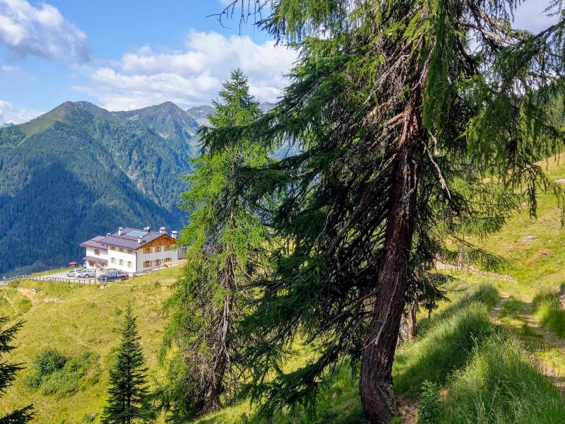
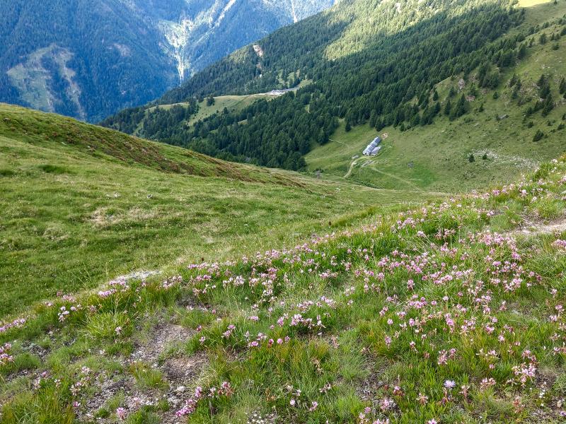
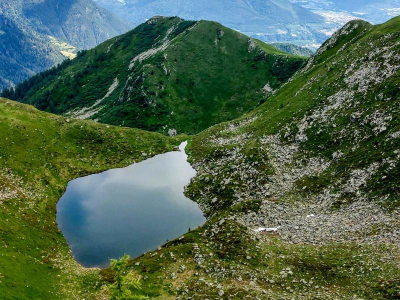
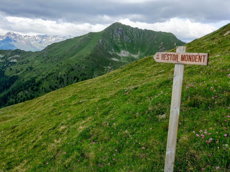
On our return to Malga Cortinga di Sopra and Malga Mondent Alta, we briefly retrace our steps until we are about halfway between Cima Vese and Cima Lac. On the left we follow the signpost to "Restor Modent" and cross an unmarked meadow slope which descends to the unpaved path leading back to Malga Cortinga di Sopra, from where we return on the same path.
Author: Giacomo Roccabruna
-
- Starting point:
- Malga Mondent Alta (leave the SP 86 in the Rabbi Valley and drive to Pracorno, where you follow the signs towards Ingenga and continue to the village of Masi di Sopra, where the asphalt road turns into a 4 km long gravel road that leads to the alpine hut.)
-
- Overall time:
- 02:30 h
-
- Total route length:
- 5,6 km
-
- Altitude:
- from 1.911 m to 2.400 m
-
- Altitude difference (uphill | downhill):
- +489 m | -489 m
-
- Route:
- Malga Mondent Alta – Malga Continga di Sopra – Passo dell’Om – Cima Vese – Malga Continga di Sopra – Malga Mondent Alta
-
- Signposts:
- “Malga Cortinga di Sopra”, no. 117, 133B, across the mountain slope (no path)
-
- Destination:
- Vese peak
-
- Resting points:
- Malga Mondent Alta
-
- Recommended time of year:
- Jan Feb Mar Apr May Jun Jul Aug Sep Oct Nov Dec
-
- Download GPX track:
- Hike from Malga Mondent Alta to Cima Vese
If you want to undertake this hike, we recommend you to check the weather and trail conditions in advance and on site before setting out.