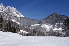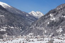
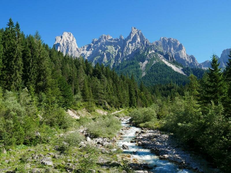
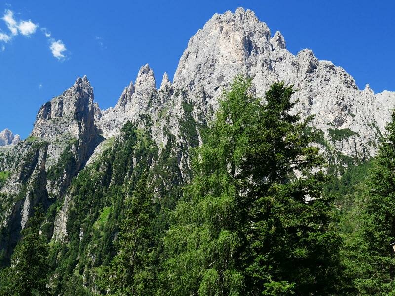
We explore the Val Canali, a suggestive Dolomite valley in Trentino stretching south of the Pale di San Martino
Image gallery: Hike to Rifugio Treviso in the Val Canali
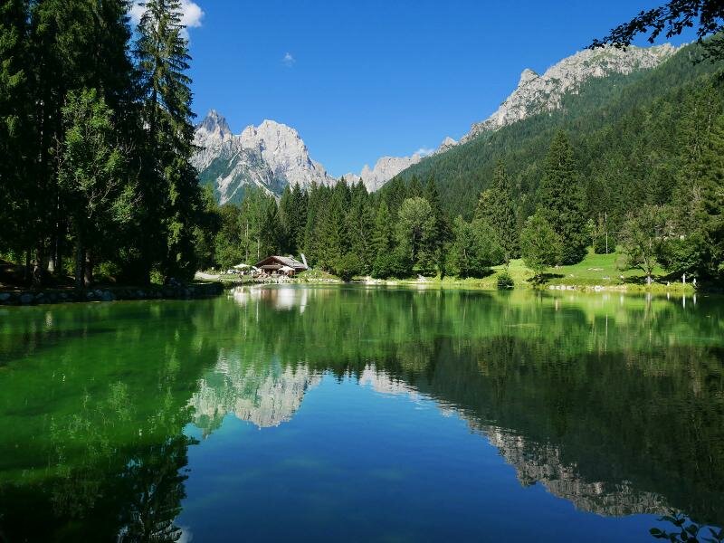
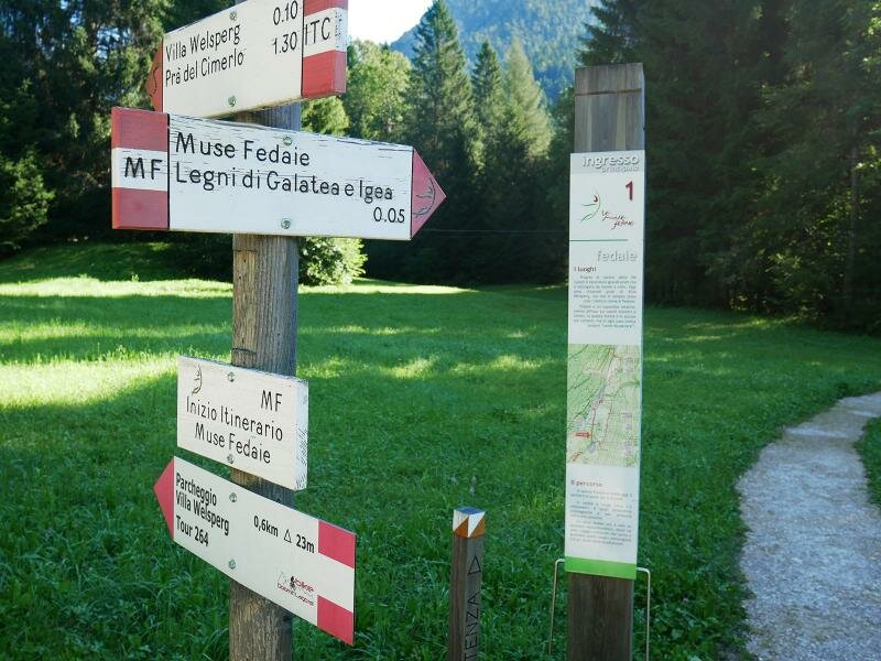
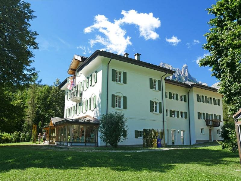
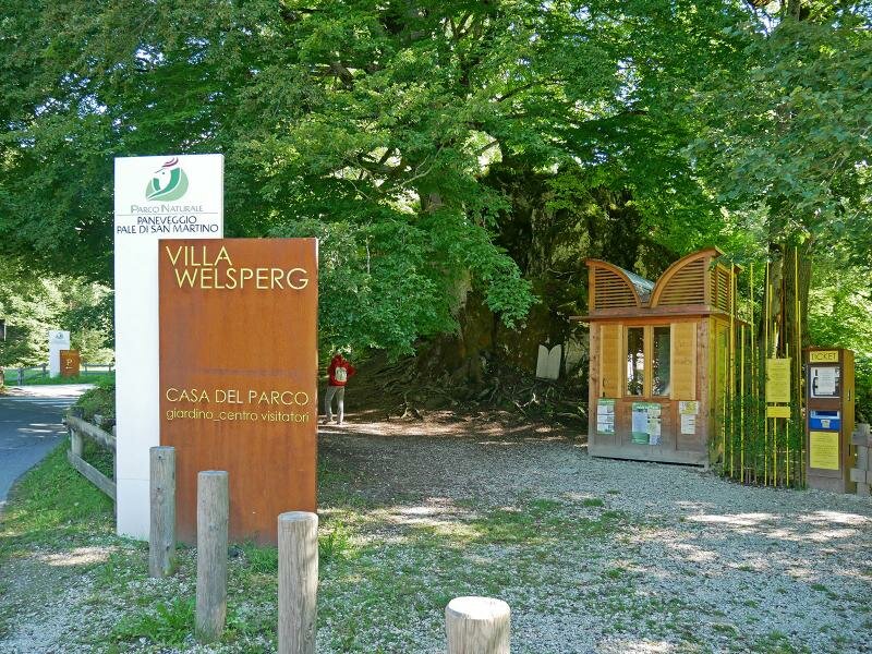
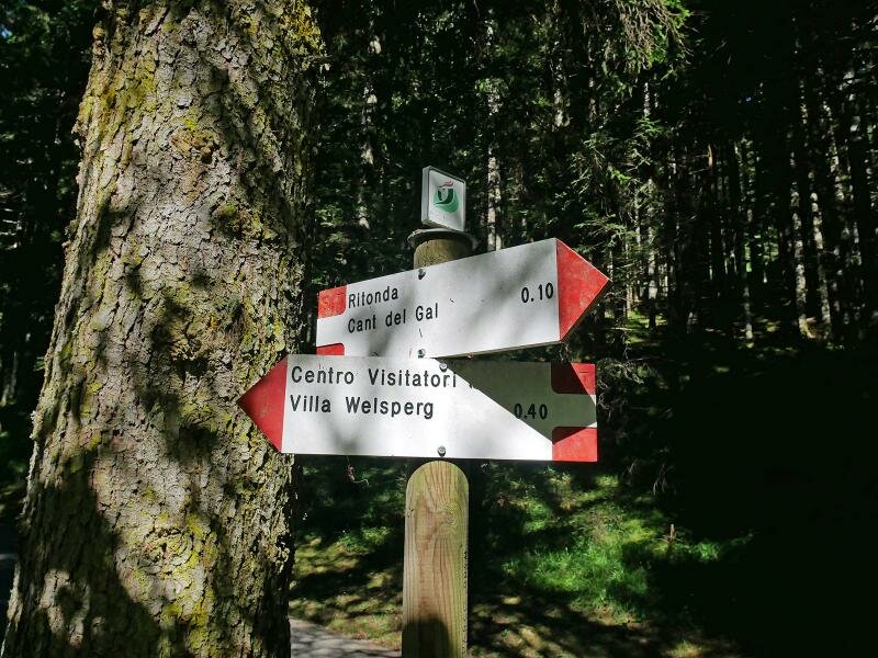
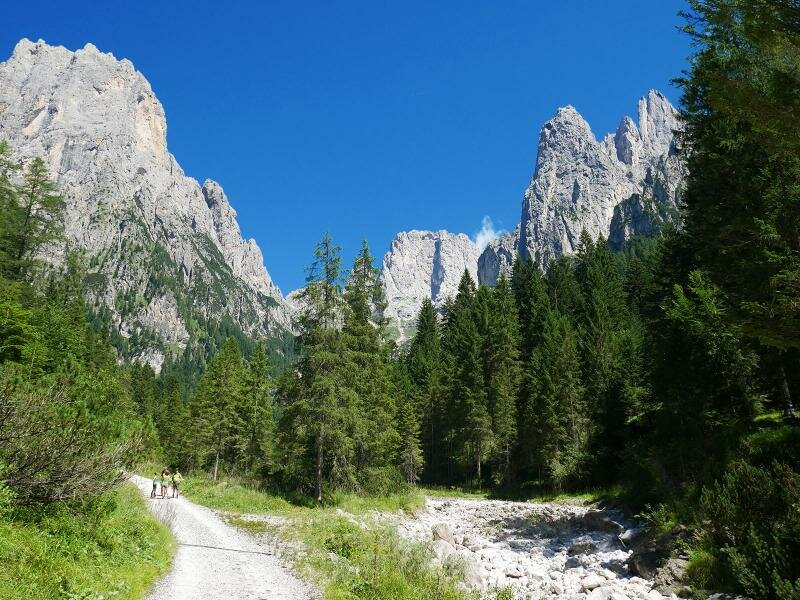
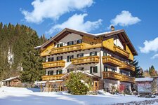
Our destination for this summer hike is the Val Canali, known for being one of the most beautiful valleys in the Dolomites. We drive from Primiero towards Passo Cereda and follow the signpost "Villa Welsperg" to the paid car park near Laghetto Welsperg ("Bar al Lago"), where we leave our car. We start our hike at the entrance to the Val Canali and follow the path for a short distance, passing Villa Welsperg, home to the visitor centre of the Paneveggio-Pale di San Martino Nature Park. A bridge crosses the brook and takes us to the western side of the valley, where we follow signpost no. 724. This path coincides with the theme path "Muse Fedaie", dedicated to the nature and history of the Val Canali.
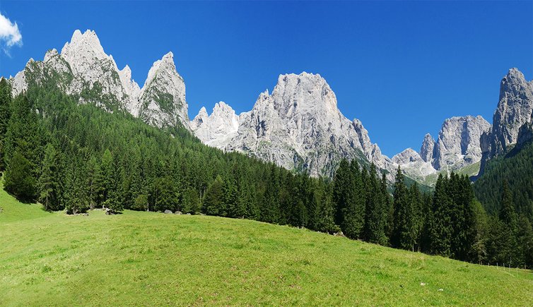
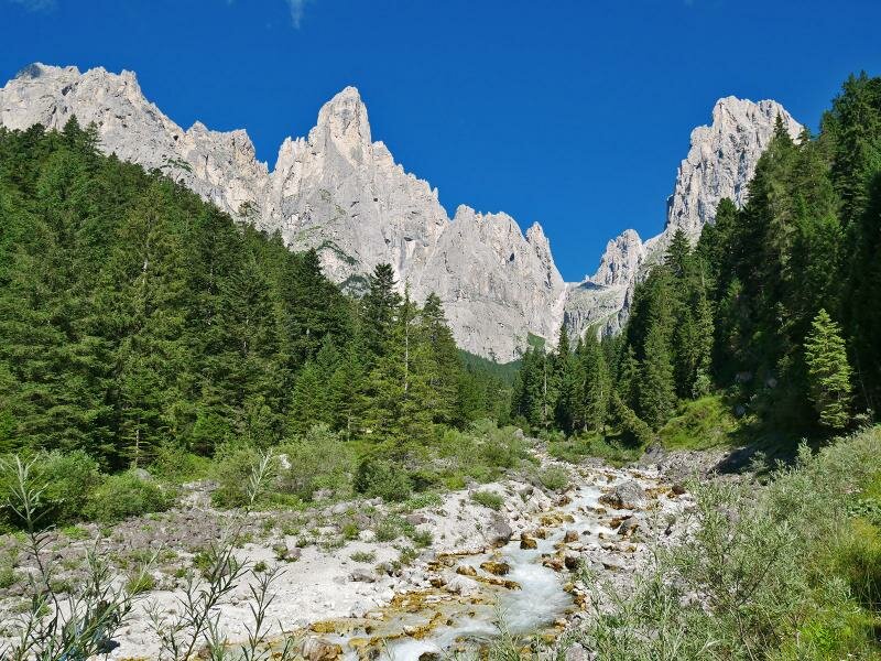
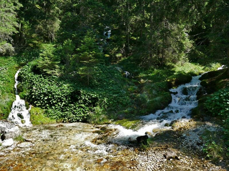
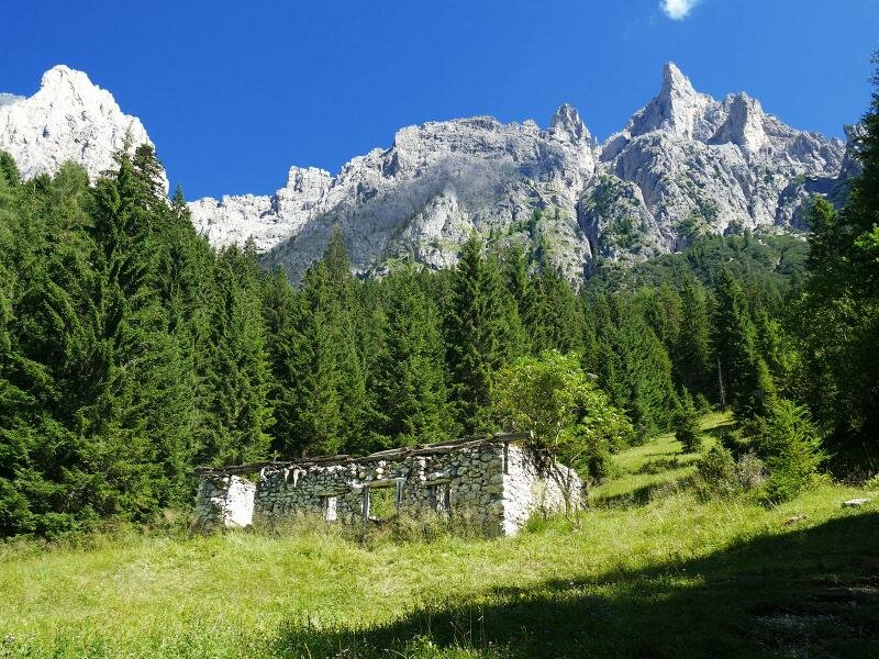
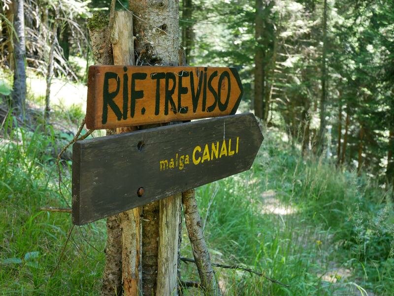
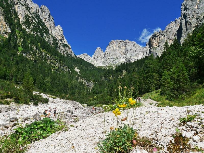
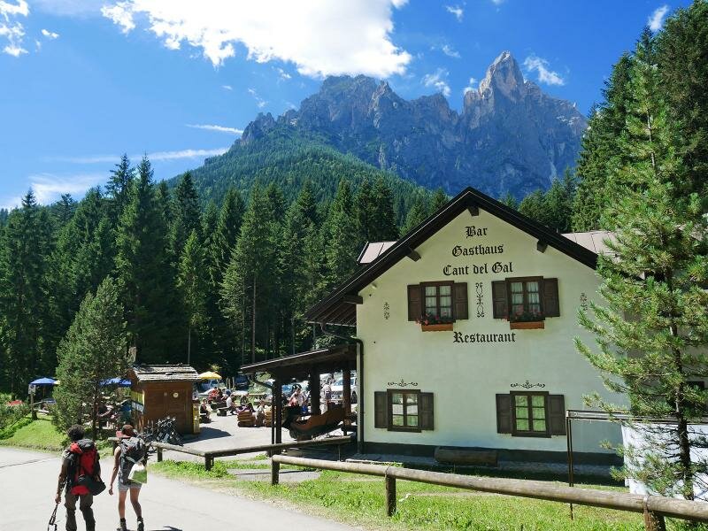
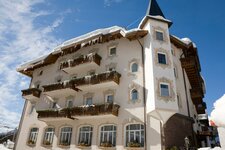
We arrive at the Albergo Cant del Gal and proceed along path no. 709 north-west, entering the Val Pradidali, a side valley of the Val Canali. We walk through a forest with several brooks until we reach the remains of Malga Pradidali. Here, we head towards east following the signpost "Malga Canali" (a refreshment area). After a while, we reach meadows and alpine pastures overlooked by the majestic Dolomite peaks of the Pale di San Martino.
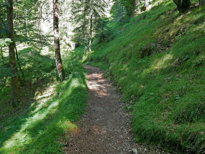
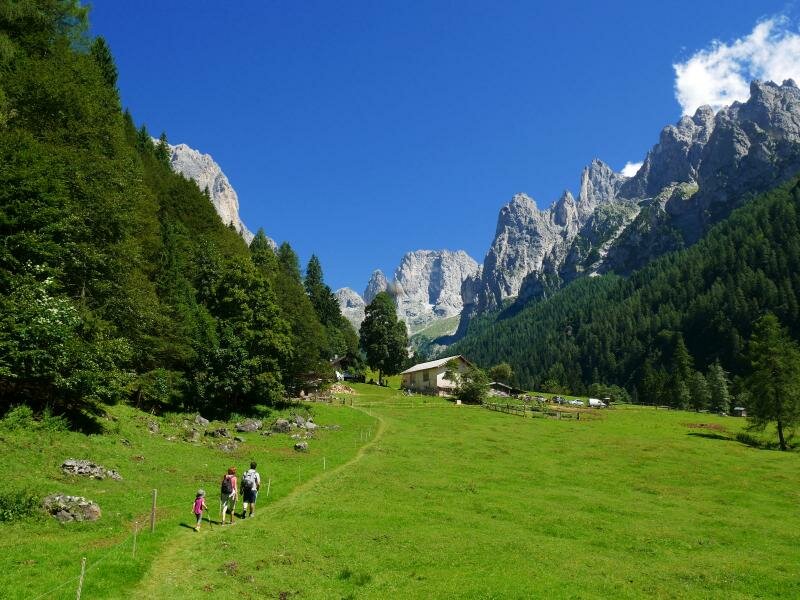
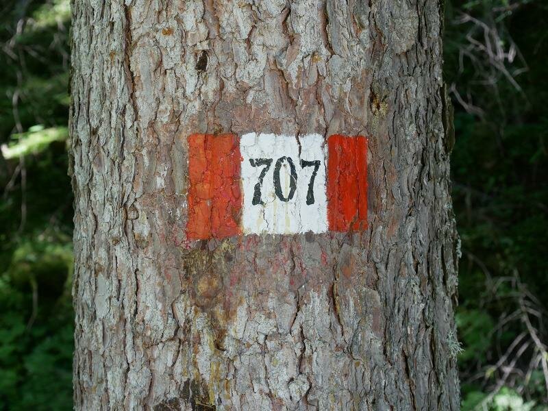
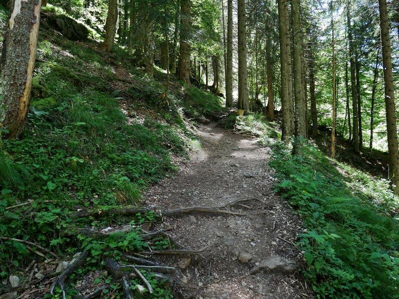
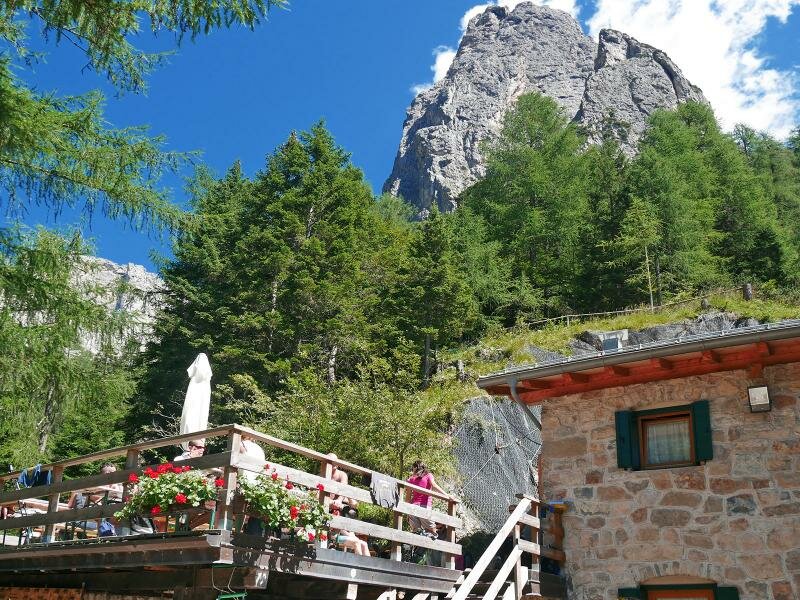
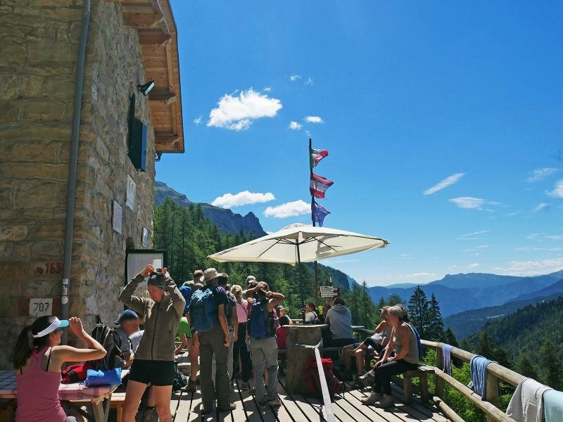
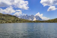
Our hike continues on path no. 707 towards Rifugio Treviso, the highest point of our tour. The forest road then merges with a steep forest path which climbs up the slope in switchbacks. At the mountain hut, we take a break and enjoy the panoramic view of the surrounding mountains. We return to our starting point on path no. 707, passing by the Albergo Cant del Gal and then along the Percorso Fedaie by Villa Welsperg and the eponymous lake.
Author: AT
-
- Starting point:
- parking space near the Bar Al Lago at Lake Welsperg
-
- Overall time:
- 05:35 h
-
- Total route length:
- 17,0 km
-
- Altitude:
- from 1.024 m to 1.606 m
-
- Altitude difference (uphill | downhill):
- +773 m | -773 m
-
- Signposts:
- 724, 709, AV2, 707
-
- Destination:
- former Malga Pradidali mountain hut ruins, Rif. Treviso mountain hut
-
- Resting points:
- Baita La Ritonda, Ristorante Cant del Gal, Malga Canali, Rifugio Treviso
-
- Recommended time of year:
- Jan Feb Mar Apr May Jun Jul Aug Sep Oct Nov Dec
-
- Download GPX track:
- Hike to Rifugio Treviso in the Val Canali
If you want to undertake this hike, we recommend you to check the weather and trail conditions in advance and on site before setting out.


-01.jpeg)